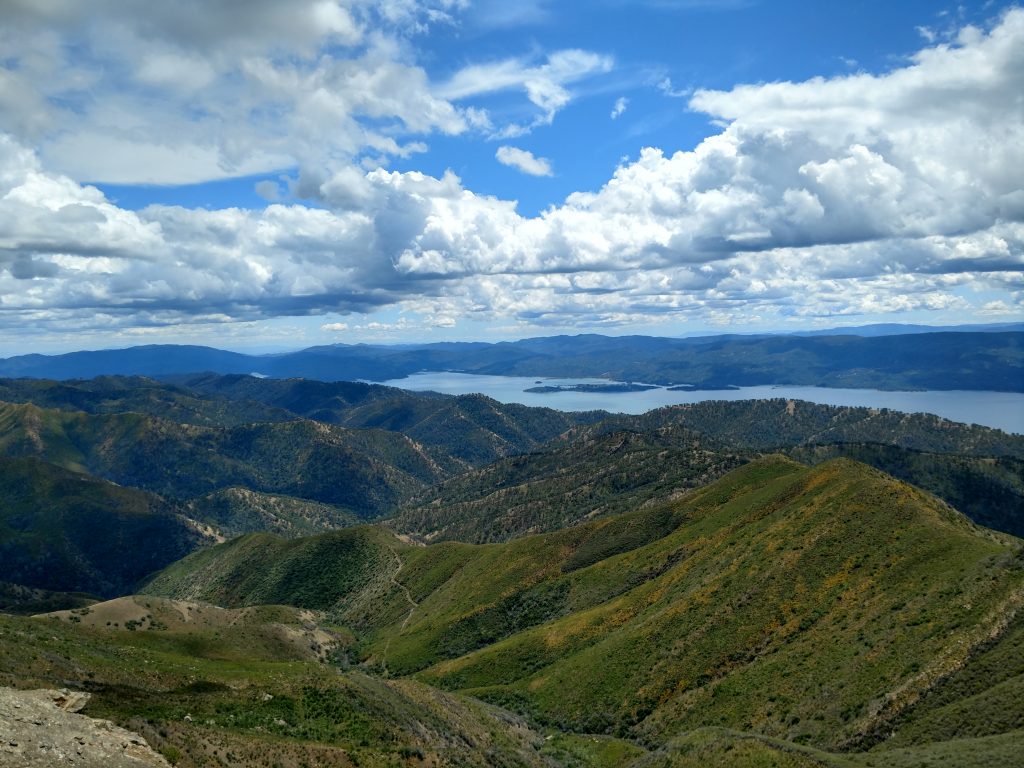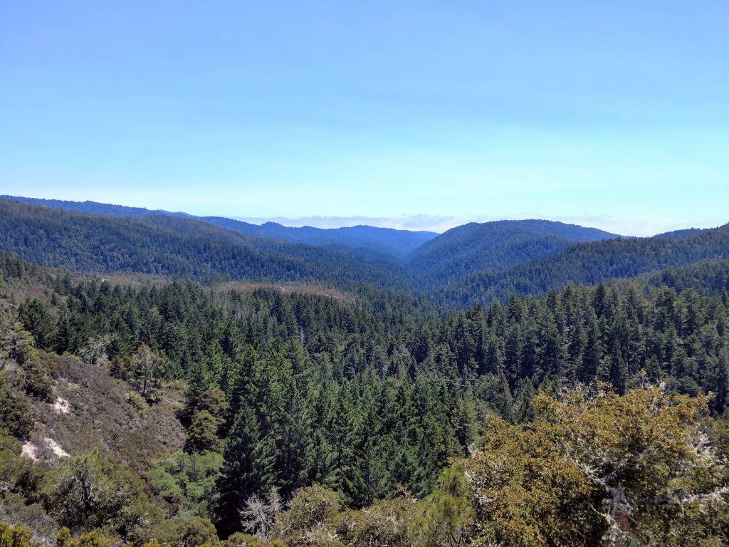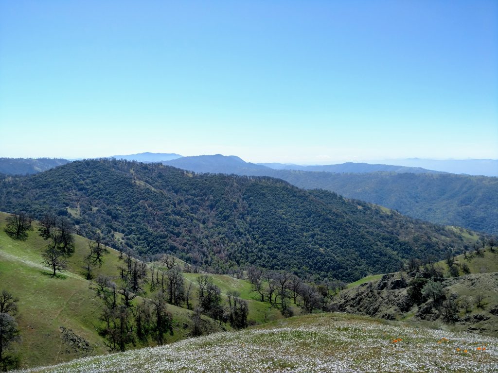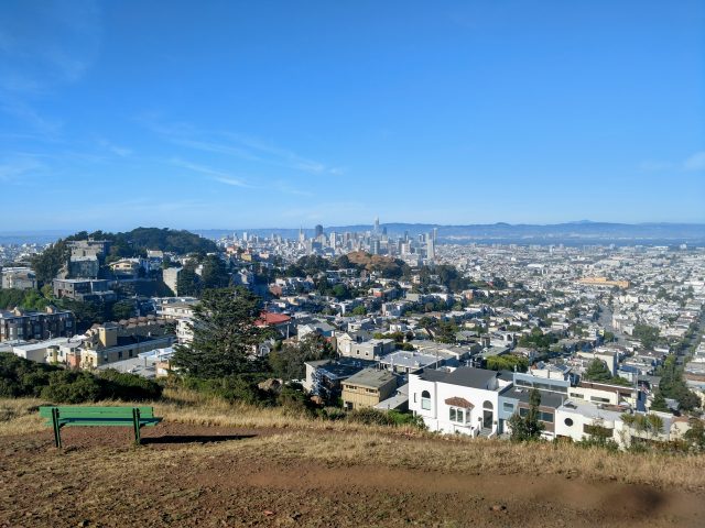
I cover a lot of obscure mountains and hikes on this website. Often I hike a mountain because it lands on an equally unknown peakbagging list, such as the Bay Area Nifty Ninety Peaks. Peakbagging is a relentless though highly questionable pursuit of tagging summits in a systematic way. Though heavily ridiculed by "serious climbers", I've never met another peakbagger who wasn't having a hell of a time. After several years of living in the Bay Area, I'm approaching completion of this little known (and slightly absurd) peakbagging achievement
Background on the Bay Area Nifty Ninety Peaks
The Bay Area Nifty Ninety Peakbagging List came out sometime in 2017 without much fanfare. It's compiled and maintained by from the San Francisco Bay Area chapter of the Sierra Club. There are no well-defined inclusion criteria for the list other than all the summits are on public land. Altitude, topographic prominence, fame nor aesthetics play role in the list. Presumably it was an answer to the vigorously maintained peakbagging lists of the Los Angeles Chapter. Unlike the Hundred Peaks Section List of Southern California, this list remains unchanged since its inception. There are no other club-maintained lists in the Bay Area.
The Full List
Here's the full list, ranked by elevation and including topographic prominence. I included my assessment of difficulty with 1 being a drive-up or short walk, 5+ being an extremely difficult hike. A few of them have links to my trip reports.
| Peak | Elevation | Prominence | Difficulty (1-5) | |
| 1 | Mount Saint Helena | 4343 | 1823 | 4 |
| 2 | Mount Hamilton | 4213 | 53 | 1 |
| 3 | Mount Saint Helena-South Peak | 4003 | 163 | 4 |
| 4 | Mount Diablo | 3849 | 3109 | Variable |
| 5 | Rose Peak | 3817 | 217 | 5+ |
| 6 | North Peak | 3557 | 597 | 4 |
| 7 | Mount Umunhum | 3486 | 566 | 4 |
| 8 | Mount Sizer | 3216 | 576 | 5 |
| 9 | Schlieper Rock | 3080+ | 0 | 4 |
| 10 | Berryessa Peak | 3057 | 1377 | 5+ |
| 11 | El Sombroso | 2999 | 280 | 5 |
| 12 | Antler Point | 2999 | 439 | 4 |
| 13 | Mount Olympia | 2946 | 66 | 3 |
| 14 | Goat Rock | 2920 | 0 | 2 |
| 15 | Mount Vaca | 2819 | 1959 | 2 |
| 16 | Black Mountain | 2800+ | 747 | 5 |
| 17 | Mount Hood | 2730 | 1970 | 4 |
| 18 | Bald Mountain | 2729 | 559 | 3 |
| 19 | Nibbs Knob | 2694 | 94 | 3 |
| 20 | Willson Peak | 2651 | 571 | 5 |
| 21 | Monument Peak | 2600+ | 80 | 3 |
| 22 | Borel Hill | 2572 | 452 | 3 |
| 22 | Mount Tamalpais-East Peak | 2572 | 332 | 4 |
| 24 | Mission Peak | 2517 | 197 | 3 |
| 25 | Table Rock | 2462 | 22 | 2 |
| 26 | Bald Mountain | 2387 | 67 | 1 |
| 27 | Eagle Peak | 2369 | 289 | 3 |
| 28 | Burra Burra Peak | 2281 | 481 | 5+ |
| 29 | Vasquez Peak | 2210 | 50 | 4 |
| 30 | Pine Mountain | 2208 | 808 | 3 |
| 31 | Mindego Hill | 2143 | 383 | 2 |
| 32 | Bills Hill | 1988 | 628 | 3 |
| 33 | Windy Hill | 1930 | 130 | Variable |
| 34 | Vollmer Peak | 1905 | 1305 | 2 |
| 35 | Montara Mountain | 1898 | 486 | 4 |
| 36 | Mount Madonna | 1897 | 188 | 2 |
| 37 | Table Mountain | 1852 | 92 | 3 |
| 38 | Vista Grande | 1840+ | 40 | 3 |
| 39 | Las Trampas Peak | 1827 | 427 | 3 |
| 40 | Vail Peak | 1787 | 107 | 3 |
| 41 | Round Top | 1763 | 455 | 2 |
| 42 | Pine Mountain | 1762 | 1042 | 3 |
| 43 | Grizzly Peak | 1740+ | 100 | 2 |
| 44 | McAbee Overlook | 1730 | 0 | 3 |
| 45 | Mine Hill | 1728 | 328 | 3 |
| 46 | Eagle Peak | 1720 | 40 | 3 |
| 47 | Brushy Peak | 1702 | 722 | 3 |
| 48 | Maguire Peak | 1688 | 488 | 3 |
| 49 | Sugarloaf | 1630 | 110 | 3 |
| 50 | Redwood Peak | 1619 | 379 | 2 |
| 51 | Chalk Mountain | 1609 | 509 | 5+ |
| 52 | Loma Alta | 1592 | 942 | 3 |
| 53 | Burdell Mountain | 1558 | 1038 | 4 |
| 54 | Rose Hill | 1506 | 386 | 3 |
| 55 | Briones Peak | 1483 | 823 | Variable |
| 56 | Barnabe Mountain | 1466 | 866 | 4 |
| 57 | Church Hill | 1459 | 59 | 3 |
| 58 | White Hill | 1434 | 308 | 2 |
| 59 | Mott Peak | 1424 | 225 | Variable |
| 60 | Mount Wittenberg | 1407 | 1007 | 3 |
| 61 | Flag Hill | 1360+ | 0 | 3 |
| 62 | Russell Peak | 1357 | 157 | 3 |
| 63 | Point Reyes Hill | 1342 | 662 | 3 |
| 64 | San Bruno Mountain | 1314 | 1114 | 4 |
| 65 | Saint Joseph's Hill | 1253 | 173 | 2 |
| 66 | Wildcat Peak | 1211 | 191 | 2 |
| 67 | Pilot Knob | 1187 | 267 | 2 |
| 68 | Coyote Peak | 1170 | 130 | 2 |
| 69 | Coyote Peak | 1155 | 595 | 3 |
| 70 | Donlan Point | 1139 | 99 | 1 |
| 71 | Sulphur Springs Mountain | 1112 | 512 | 3 |
| 72 | San Pedro Mountain | 1080+ | 840 | 3 |
| 72 | Tolman Peak | 1080+ | 0 | 3 |
| 72 | Gossip Rock | 1080+ | 0 | 3 |
| 75 | Wolf Ridge | 960+ | 320 | 3 |
| 76 | Garin Peak | 948 | 201 | 3 |
| 77 | Slacker Hill | 937 | 274 | 2 |
| 78 | Mount Davidson | 925+ | 628 | 2 |
| 79 | Twin Peaks | 922 | 332 | 1 |
| 80 | Hawk Hill | 920 | 320 | 1 |
| 81 | Mount Sutro | 908 | 208 | 1 |
| 82 | Mount Caroline Livermore | 781 | 781 | 3 |
| 83 | Mount Wanda | 640+ | 0 | 2 |
| 84 | Tank Hill | 600+ | 15 | 1 |
| 85 | Corona Heights Crag | 500+ | 95 | 1 |
| 86 | Bernal Heights | 460+ | 265 | 1 |
| 87 | Nob Hill | 365+ | 175 | 1 |
| 88 | Russian Hill | 355+ | 85 | 1 |
| 89 | Telegraph Hill | 295+ | 200 | 1 |
| 90 | Hayes Hill | 270+ | 50 | 1 |
Bay Area Nifty Ninety Map
Here's a map of all the summits. Each point has the altitude, topographic prominence and my 1-5 assessment of difficulty, views, hike quality and wilderness (i.e. is it in a city or far from a public road. I have my overall rating from 1-5 as well and some short comments on each summit
Overall Top 10
There's several on the list that are timeless adventures and worth peakbagging more than once. My favorites of the list, in no particular order are:
- #5 Rose Peak, 3,817' - One of the most challenging hikes in the Bay Area and the only summit that is often backpacked rather than day-hiked.
- #6 North Peak (Mt Diablo), 3557' - Leave the hoards of hikers at Mt Diablo's summit behind with this equally magnificent alternative.
- #8 Mt Sizer, 3,215' - Any hike of Mt Sizer gets deep into the heart of Henry Coe State Park. Guaranteed solitude.
- #10 Berryessa Peak, 3,057' - Extremely remote summit (by Bay Area standards) with sweeping views of Lake Berryessa, the Coast Ranges and the Central Valley.
- #16 Black Mountain, 2800+' - Favorite hike of Silicon Valley with no easy way up.
- #28 Burra Burra Peak, 2281' - This far flung summit in Henry Coe Wilderness is an easy hike from the Dowdy Ranch entrance. However the entrance is closed almost all the time which makes this the least climbed summit on the list. When I climbed it in spring 2021, there were only three parties on the summit register for the year.
- #48 Maguire Peak, 1688' - A gem of Sunol Regional Wilderness. Trailhead is obscure and hard to get to, therefore the hike is rarely done. Exceptional views of the Tri-Valley.
- #51 Chalk Mountain, 1609' - Deep in the heart of the Big Basin wilderness. Untrampled and unspoiled.
- #56 Barnabe Mountain, 1466' - My favorite in Marin County. Lush woods lead to a panoramic view of the Point Reyes area.
- #82 Mt Caroline Livermore, 781' - A well known mountain and hike with unparalleled views of the San Francisco Bay

Most Difficult
Difficulty is hard to gauge on the Bay Area Nifty Ninety given that many of the summits have easy and hard routes. But some of them have no easy routes. Based on overall difficulty of any/all routes, here's my ranking:
- #5 Rose Peak, from Sunol 18.2 miles, 4,100' of gain (from Del Valle Park 20 miles, 4,400' of gain)
- #8 Sizer Peak via "The Shortcut", 13.8 miles, 4,200' of gain
- #10 Berryessa Peak, 15.3 miles 3,100' of gain
- #16 Black Mountain via Rhys Ridge, 10.5 miles, 2,600' of gain
- #1/#3Mount Saint Helena and South Peak, 11 miles, ~3,000' of gain
- #11 Mt El Sombroso from Mt Umunhum Road, 10.5 miles, 2,600' of gain
- #7 Mt Umunhum, 7.7 miles, 1,100' of gain

Easiest/Drive-Ups
For novice hikers or people who just want a nice view, here are the easiest of the bunch:
- #2: Mt Hamilton, 4,213' - This is the site of the famous observatory. There's no hike option, only driving or a really difficult road bike ride.
- #4 Mt Diablo, 3,849' - Mt Diablo is an easy drive-up for most. Short hikes exist as well.
- #18 Bald Mountain, 2,729' - A short walk from the Mt Umunhum trailhead. Nice views of the South Bay.
- #70 Donlan Point, 1,139' - A short walk overlooking the pass separating the East Bay and Tri-Valley.
- #79 Twin Peaks, 922' - More of a walk than a hike. Best view in San Francisco proper.
- #80 Hawk Hill, 920' - Short walk in the Marin Headlands. Classic vista of the Golden Gate.
- #81 Mt Sutro, 908' - Nature sanctuary within San Francisco. The Sutro Tower is NOT on Mt Sutro.
- #84 Tank Hill, 600' - Not a mountain by any measure but a phenomenal view from near the center of San Francisco. No tour busses!
- #85 Corona Heights 500' - Pleasant city park near center of the city.
- #86 Bernal Heights 460' - Similar park to Corona Heights near city center.
- #87 Nob Hill 365' - Actual highpoint is up a stairway labeled Priest Street.
- #88 Russian Hill 355' - Just a high city street but there's some pretty architecture nearby.
- #89 Telegraph Hill 295' - Famous for the Coit Tower.
- #90 Hayes Hill 270' - High hill of Alamo Square Park.

Well, those are my impression of this peakbagging list! Have you done the Bay Area Nifty Ninety? What are your thoughts?


No Comments