


Sulphur Springs Mountain (officially named but probably a misspelling of Sulfur Springs Mountain) is a beautiful mountain of modest altitude located near Vallejo, California. It captured my attention for two reasons. The first was its status on the Bay Area Nifty 90 Peaklist which interested me recently. The second goes with the first- COVID19 made us look closer to home for hiking. This gem of Solono County made for a delightful early morning hike.
Location and Directions to Sulphur Springs Mountain Trailhead
Sulphur Springs Mountain is located in-between Vallejo and Fairfield in a stretch of glorious open space. This stretch of Interstate 80 starkly contrasts the ever-expanding sprawl of Bay Area suburbs. Lynch Canyon and Hiddenbrooke Open Spaces create one of the larger swaths of public land in the area and are readily accessible to the public. Placing directions for this point gets you closest to the trail. This area is part of the Hiddenbrooke Community that has a guard but when we went, he just waved us through. We parked on Bennington Court of the community and noticed many people had done the same. To my knowledge, there's no access issues as the trail is part of the Bay Area Ridge Trail.
Note that there's another trail-head closer to the highway but parking looked scant.
Sulphur Springs Mountain Hike via Ridge Trail
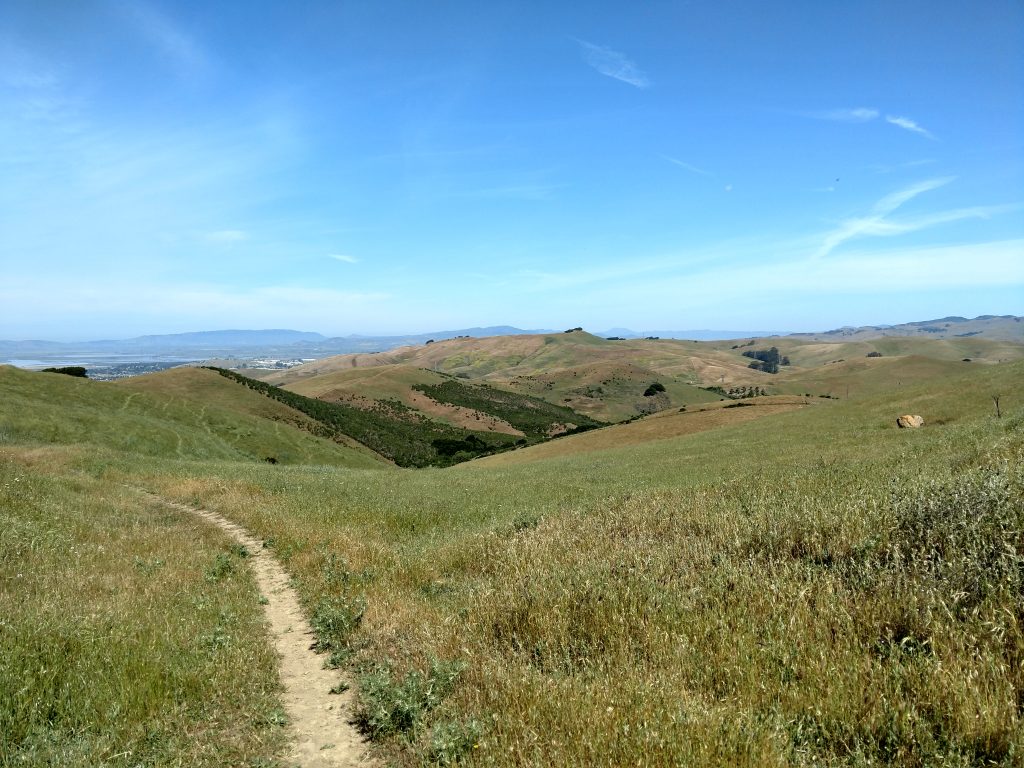
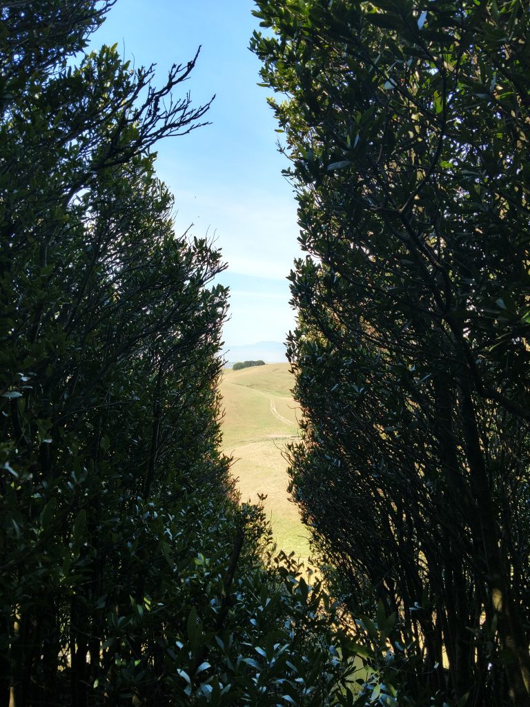
This is a short, pleasant but exposed hike. Sulphur Springs Mountain is at a junction where the temperate weather of the San Francisco Bay meets the hotter and more arid Central Valley Regions. There are almost no trees on this trail and consequently shade is limited. Its good to start this hike early if hiking between late April and late October.
All together, the trail is 2.9 miles round trip if hiking directly to the summit and back. I hiked a little further for views and exploring some side trails. My map is below:
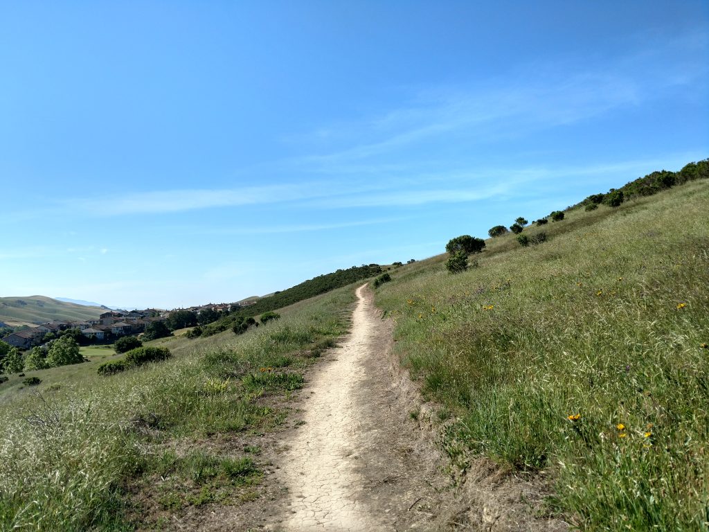
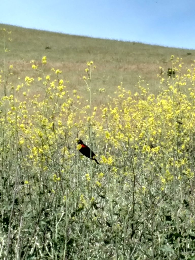
At the intersection of Hiddenbrooke and Bennington roads, we found the trailhead and began ascending. Its oddly unmarked at the bottom but easy to find if you're looking for it. The trail weaves through some denser scrub at first that presented lots of birding opportunities. We saw many song birds and got very close to a Red Wing Blackbird.
Initially there are many switchbacks which takes the sting out of the ascent. Views expand almost instantly. Although the eastern views are just of the Hiddenbrooke neighborhood, Mt Diablo rises in the South and the North Bay becomes visible about half-way up.
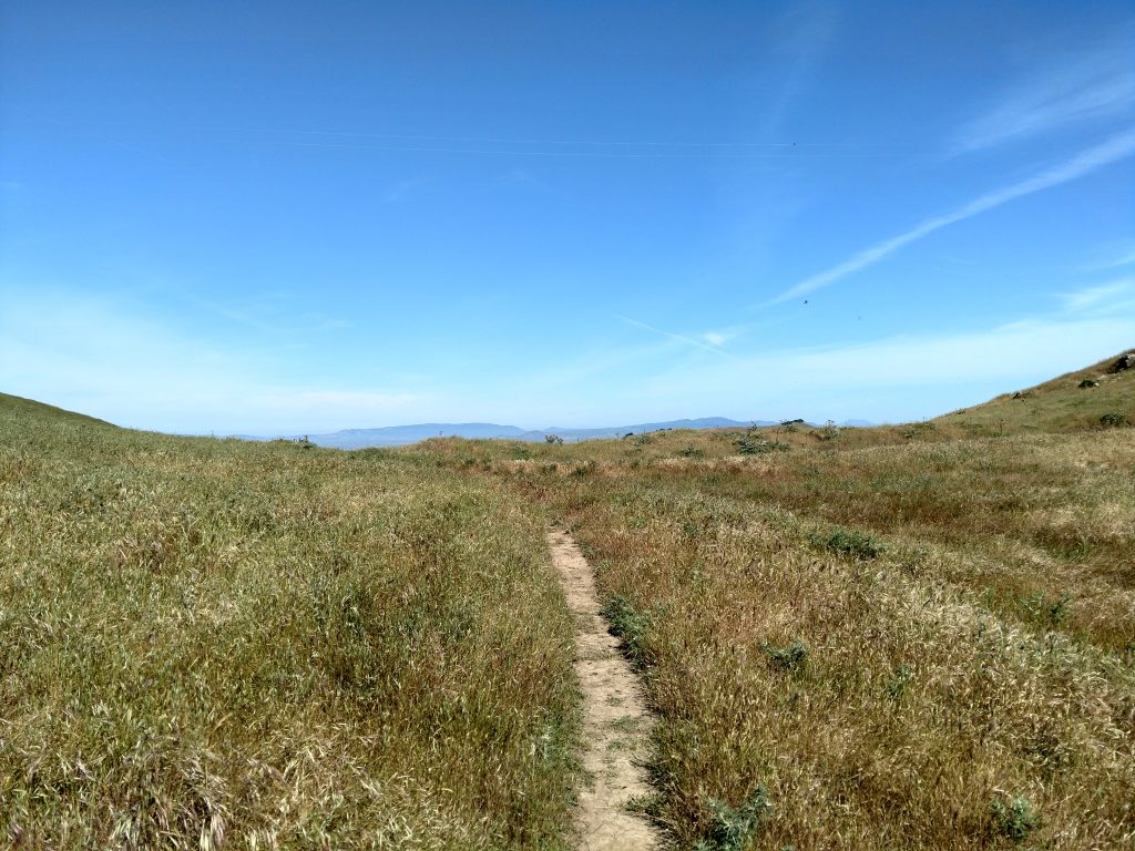
After 1 mile of hiking, we met a junction with another leg of the Bay Area Ridge Trail. It was poorly marked but the summit of Sulphur Springs Mountain was clearly visible at this point.
It was another 0.5 miles to the summit. We walked a very steep 0.3 miles to another unmarked trail fork in the trail, took a right and then ascended to the summit. Although the lower altitudes were essentially wild, the top had radio towers and an abandoned shed of sorts. There were also windswept trees that we navigated through to find the true summit. There was no register or benchmark.

The Summit and Return
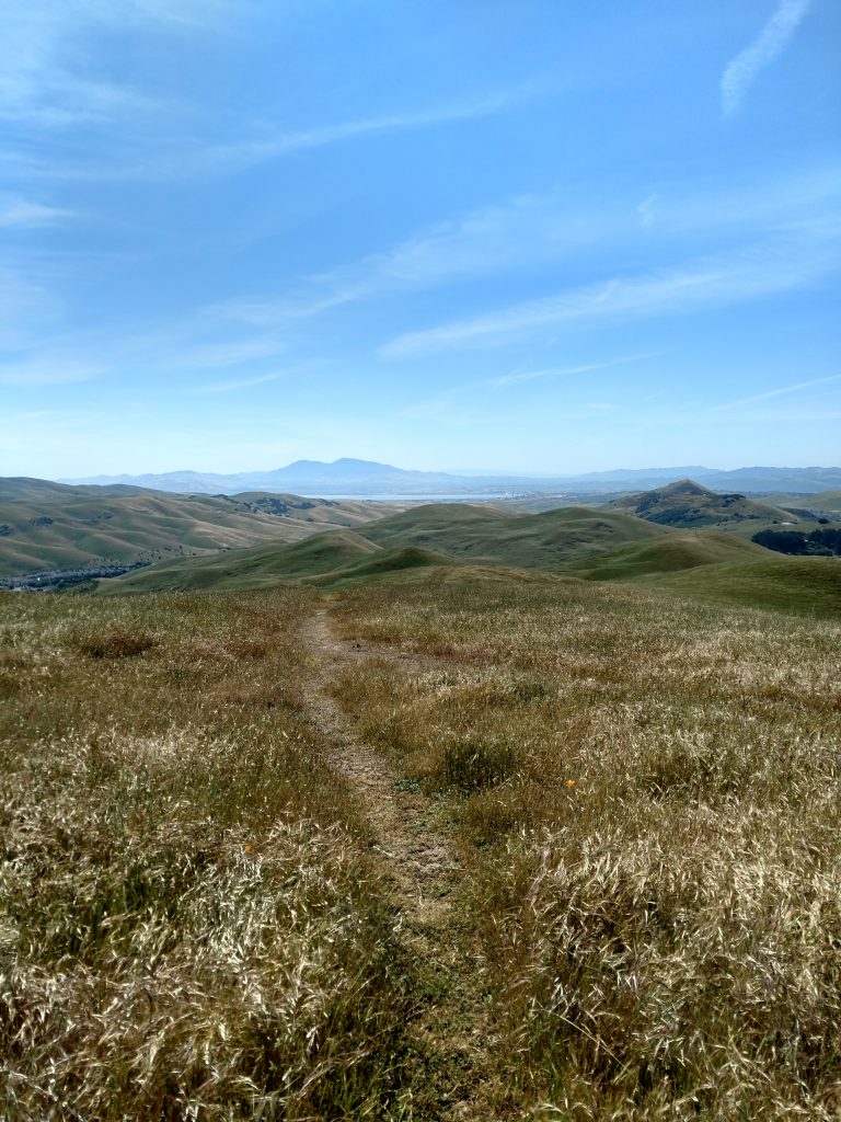
Although the actual summit of Sulphur Springs Mountain is not pretty, the views are exceptional. So many Bay Area landmarks are visible to the naked eye from the top. Mt Diablo and parts of Livermore Valley are to the South. To the West, we saw part of the Golden Gate, the SF skyline, San Pablo Bay, Angel Island and Mt Tamalpais. Much of Napa Valley was seen to the North. Finally, the small hills giving way to the Central Valley were visible to the East. We saw why such an otherwise unknown summit ended up on the Nifty 90 List.
We returned the same way we came up, going along a few side trails just to catch greater photos.
It took about 1.5 hours to hike the whole trail. Thank goodness too; it was starting to get hot! We'd certainly do this hike again sometime soon.

No Comments