


El Sombroso is another local mountain of the "close-to-home" series. I originally hiked this peak long before COVID19. Given the lack of any big road trips or weekend forays into the Sierras, I'm writing about this summit now.
Getting to El Sombroso Trailhead
There's a few options here.
- The shortest and most direct route starts at the Mount Umunhum Parking Area in Sierra Azul Open Space. This is a recently developed area which includes a nearby hike to the summit of Mt Umunhum. Starting from there, the hike is 10.8 miles (round trip) with 2,195' of gain (over a lot of up and downs). Note that parking area is small and is often full.
- A slightly longer option departs from the Woods Trail Trailhead which is at the junction of Mt Umunhum Road and Hicks Road. This one clocks in at roughly 12.0 miles (round trip) with 1,873' of gain. Its a straight ascent and descent, no ups and downs.
- An even longer option starts from the Kennedy Trail Parking Area and involves 2,310' of gain over a round trip distance of 12.0 miles.
- The Priest Rock Trailhead and Limekiln Trailhead approach El Sombroso from the West and offer nearly identical experiences of ~2,700' of gain over 11.0 - 12.0 miles (Round trip)
To my knowledge there are no fees and access is unrestricted. All of the parking areas quickly fill on good weather weekends throughout the year. Get there early. Here's a map of the first option; the route I took:
El Sombroso: Mt Umunhum Parking Area to Woods Trail Junction
This is a hike that starts with a lot of descending before ascending. From the parking lot, cross Mt Umunhum road and follow the newly created Mt Umunhum trail 0.3 miles to the first intersection. Take a right here for the Barlow Road Trail
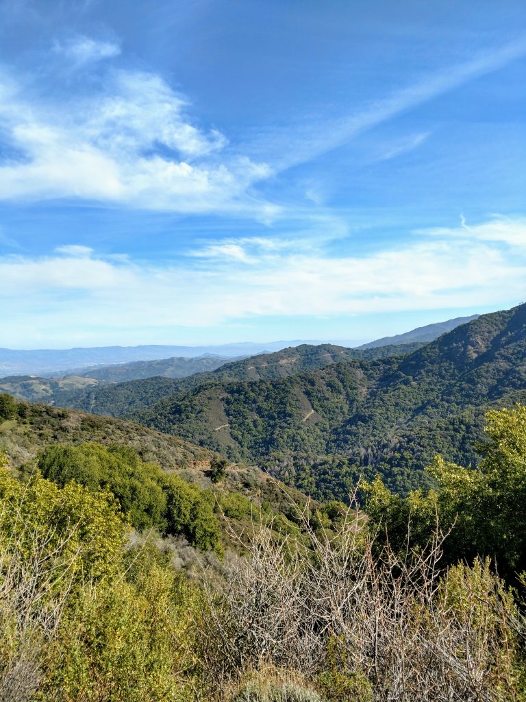
The Barlow Road Trail takes an undulating and non-direct route along the flanks of Mt Umunhum, crossing close to the headwaters of Guadalupe Creek. Eventually the trickles of this creek descend into downtown San Jose although most times of year its a tiny stream.
Over 1.9 miles, the trail descends to an intersection of the Woods Trail, losing 750' of altitude which is later gained along the road to the summit. This intersection is 630' lower than the parking area at the beginning.
Woods Trail to El Sombroso Summit
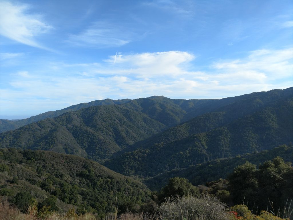
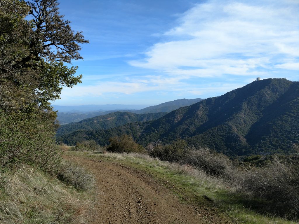
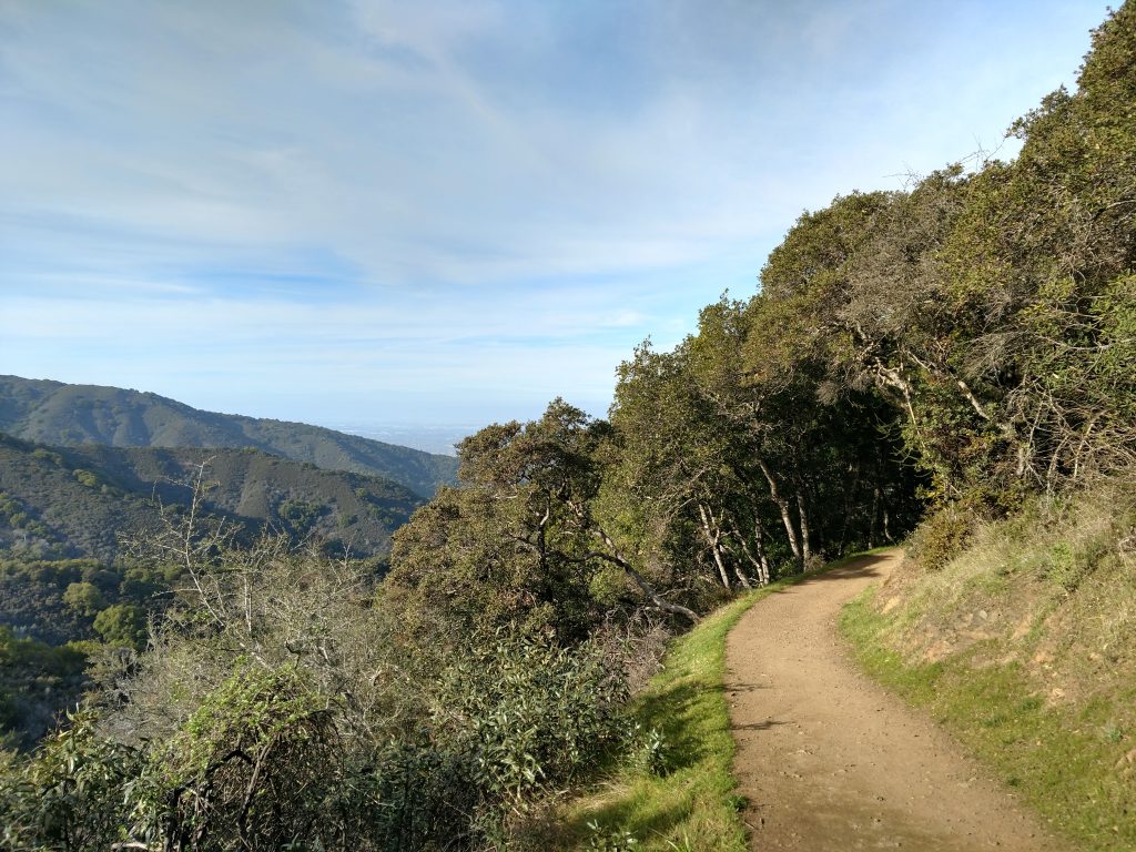
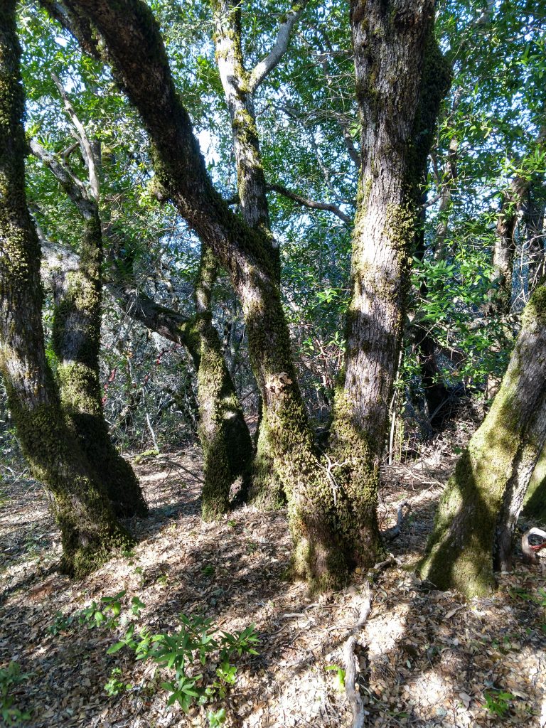
From the intersection with the Woods trail, its a simple left turn, 3.2 miles with 1,200' of gain to the summit. The trail is wide and generally open with some shade. Views open up as it approaches the summit.
When I hiked El Sombroso in December, I hardly saw a soul on the entire trip except at the very top. From a "social-distancing" standpoint, this would be a good option.
At the very top, note there's a small side trail deviating from the main route which touches the summit. There's a large transmission tower at the top that obliterates some of the wilderness appeal of the area. However there's excellent views of the South Bay and Silicon Valley.
For the more fastidious peakbagger, the actual summit involves a bit of bushwhacking through the scrub. I used peakbagger to find the actual summit which took no more than 10 minutes to find the true high point. It was a little thick in some sections but not a terrible 'whack.
Since this is an out and back hike, there's not much else to say on the return from El Sombroso's summit. Naturally the return to the parking lot involves plenty of climbing in itself so keep that in mind if its a hot day.

No Comments