


This week I'm writing about my recent trip up Mt Sizer, a hike deep in the backcountry of Henry Coe State Park. This qualifies as a "close to home" hike by my made-up-standards so if you're needing to get out during COVID-19 lockdowns, here's the place you're looking for.
Mt Sizer is the highest mountain (but not highest point) within Henry W. Coe State Park. For those who don't know, this is Northern California's largest state park and might as well be a National Park from a size standpoint. People spend days wandering its extensive backcountry. Mt Sizer is a worthwhile foray into all the massive state park offers.
Getting to the Mount Sizer Trailhead
Mt Sizer's Trailhead is the Coe Ranch Campground and Visitor Center located 10 miles up a paved but sinuous road on the western side of the park. At an altitude above 2,600', its a relatively high trailhead. Pay the parking fee at one of the kiosks and note the visitor center remains closed.
Most vehicles don't have trouble making it to the parking area but I wouldn't recommend any campers or RVs drive that road.
Here's an overview of my hike:
Part I: Pine Ridge and Little Coyote Creek
This hike starts at a high elevation compared to the rest of the trail. I began by walking from the visitor center up a paved road marked for the park residence labeled Manzanita Point Road. After about 100 yards, I hit the vehicle gate and there's an obvious trailhead to the left marking the Monument Trail.
Early in the morning, there was plenty of fog and clouds creating a mystical scene. I enjoyed this single track trail as it ascended Pine Mountain Ridge. Ever the peakbagger, I deviated off trail slightly to tag the highpoint and first peak of the day.
After 0.5 miles, the Monument Trail intersects with Hobbs Road which eventually goes all the way to Mt Sizer's summit. Hobbs Road is a well-maintained fire road and I sped down the next 0.8 miles to the first low point of the trip- Coyote Creek. Between the trailhead and Coyote Creek, I gained 315' and lost 550'. I wasn't looking forward to the reerse on the way back.
Part II: Middle Ridge
Continuing with the undulations, I slowly climbed my way out of Coyote Creek and to the summit of Middle Ridge. This involved another steep mile gaining 420' of altitude.
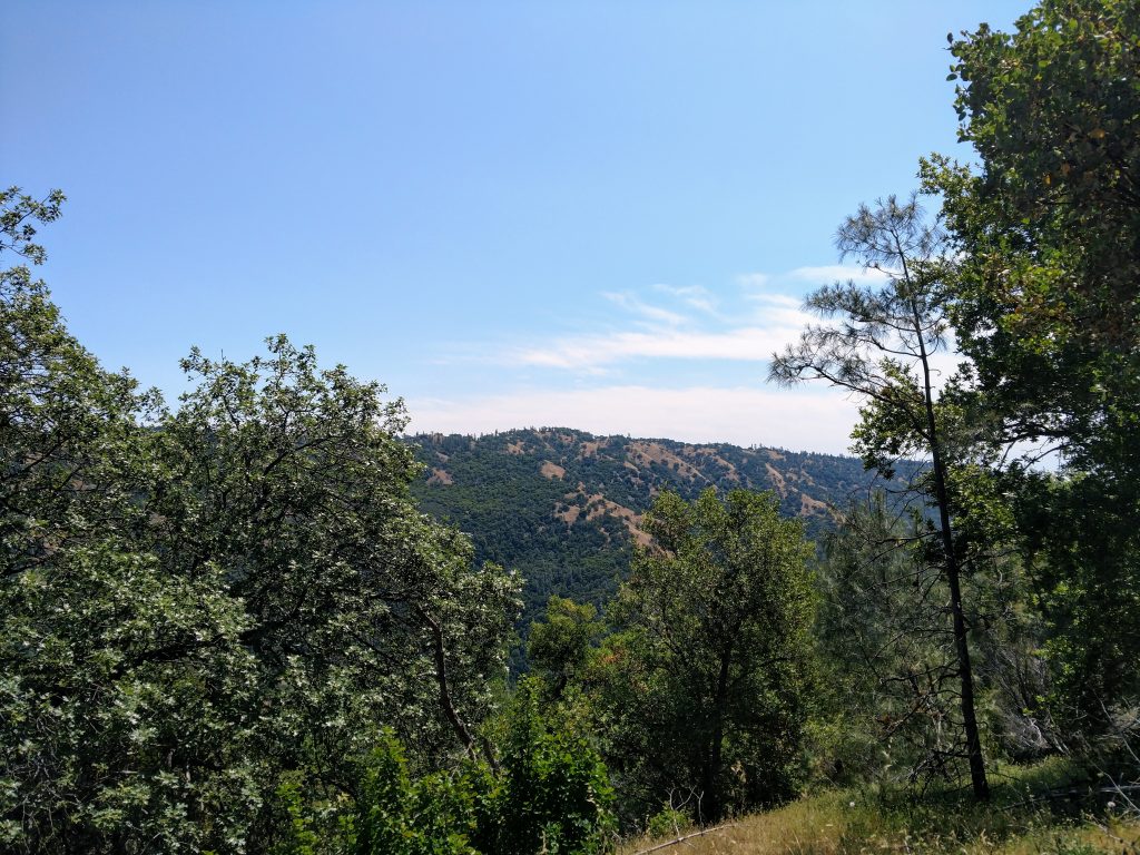
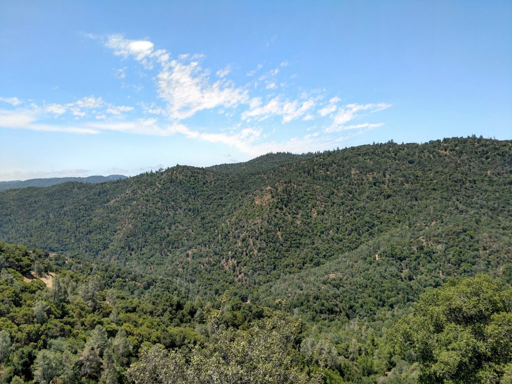
At this point I left all signs of civilization other than the fire road. Pine Ridge obscured any view of the South Bay or Silicon Valley. It was remarkable how close I technically was to the metropolis but how far I felt. The oak savanna opened up and I cherished the views.
After a mile, I intersected with the Middle Ridge Trail. Again, ever the peakbagger I went off trail and tagged the summit of Middle Ridge. Although there's no summit register or benchmark, there were outstanding views to the East.
Part III: The Big Descent to Middle Fork of Coyote Creek
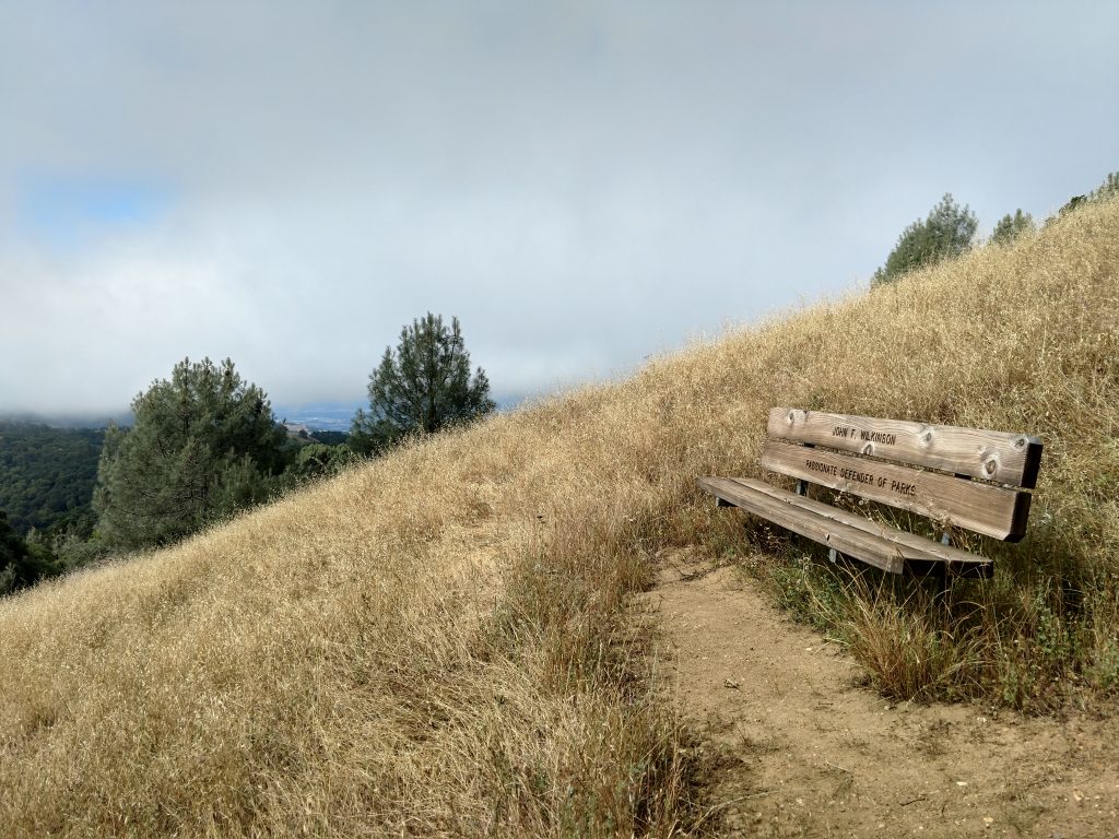
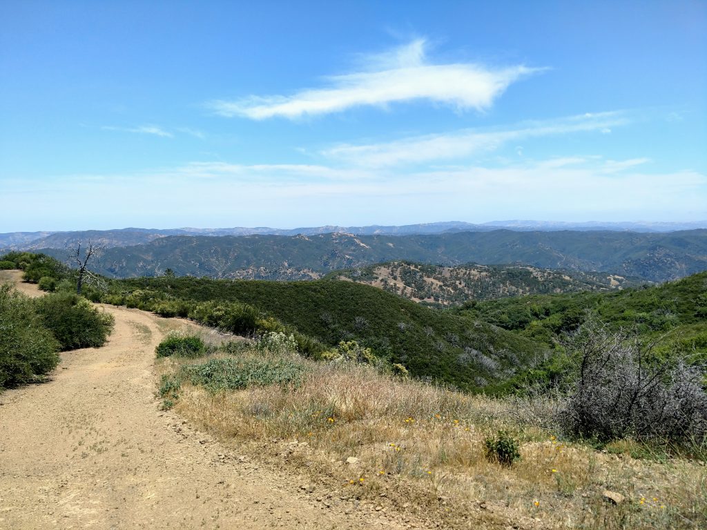
Near the summit of Middle Ridge, there's a nice picnic bench with a view of the oncoming misery. Mt Sizer's summit looms less than 1.5 air miles away but a stupendous descent and re-ascent awaits. I mentally prepared myself.
Hikers refer to this section as "the Shortcut" which is technically true- its the shortest route to Mt Sizer's summit. However, this is also the section the prevents a lot of folks reaching the high point.
I began the 1.7 miles of losing altitude and losing heart. A whole 1,200' of altitude was lost as the summit looked further and further away. There was abundant shade which made me feel a little better. However, there's imposing views of the steepness ahead on the Blue Ridge Road.
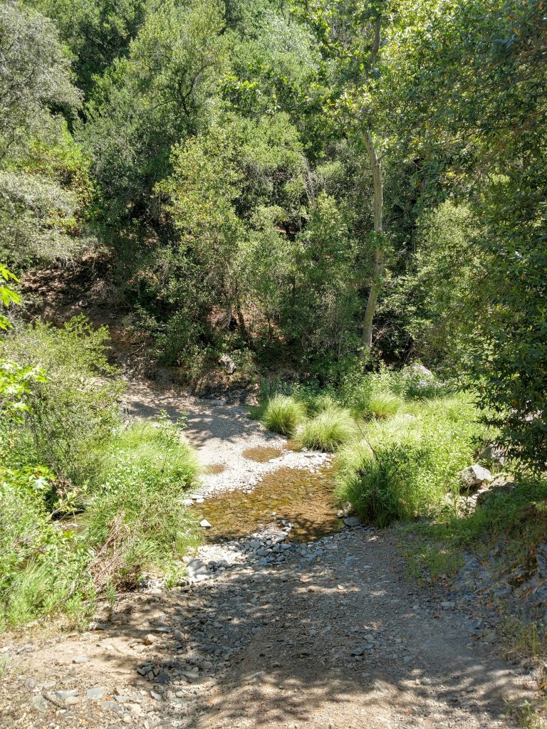
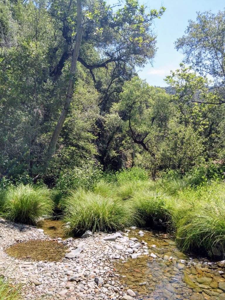
I took a well-deserved break after that descent along the Middle Fork of Coyote Creek. This time of year crossing it isn't a problem but beware of treacherous spring crossings after heavy rain.
Part IV: The Big Climb
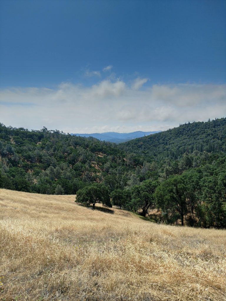
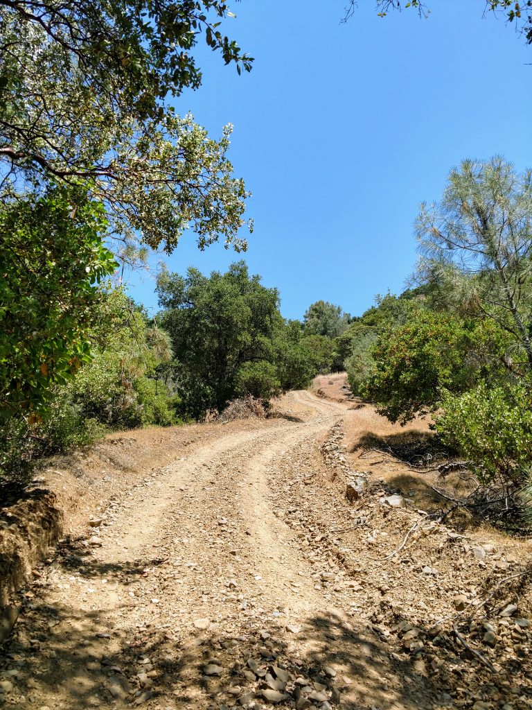
Finally at the crux of the climb! It was a strenuous but partly shaded climb out of the canyon. Another 1,500' of altitude gain over 1.3 miles made this the steepest sustained trail I've been on in the Bay Area.
I took it slow and steady, not taking breaks except for photos. Altogether it wasn't as bad as I thought it would be and I got up it within an hour. The hard part is thinking about the reverse. Views remained outstanding most of the way.
At the top, the trail intersects with the main ridge trail and there's a shaded bench for a break. Whew!
Part V: Ridgeline to Summit
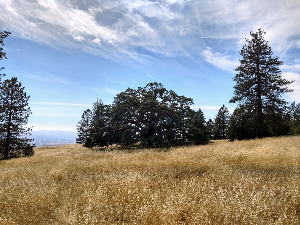
After a long lunch break on the bench, I walked the final 1.1 miles to the summit of Mt Sizer. There were some gentle ups-and-downs on this section but nothing like the previous 3 miles. Henry Coe's Wilderness unfolded from the ridgeline. Certainly this is the highlight of the hike.
The summit itself was flat and indistinguishable. I had to use my GPS to confirm the spot. There was no benchmark nor summit register at the top.
Close to the top, there's a few fire roads with wide open views towards the North and the Orestimba Wilderness. Mt Stakes, the highpoint of Stanislaus County was clearly visible many miles to the North. I sure hope I hike there soon!
The Return
If you want to know what the return from Mt Sizer was like, just read this post in reverse. There's not a lot to say about it other than it was hotter and felt steeper. Descending "the shortcut" felt as difficult given the loose dirt and gravel.
Altogether, the return took just as long. Its strange to start and end a hike at such and altitude in the Bay Area.
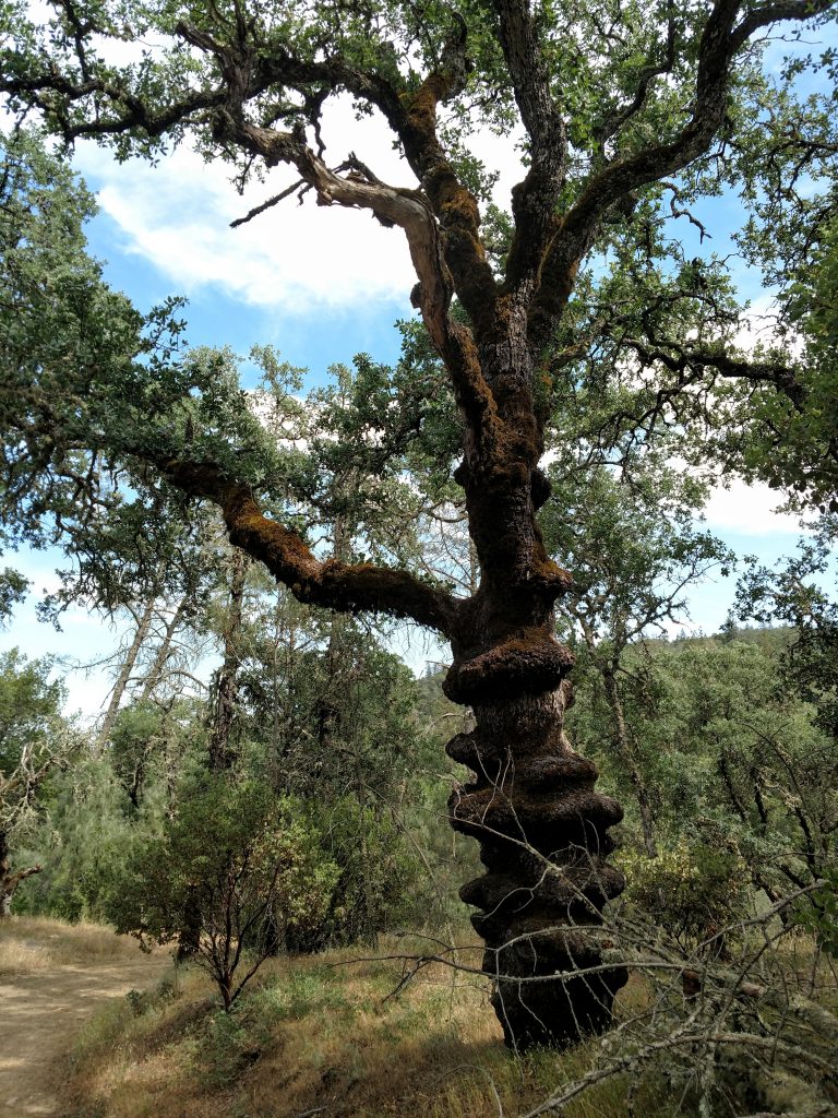
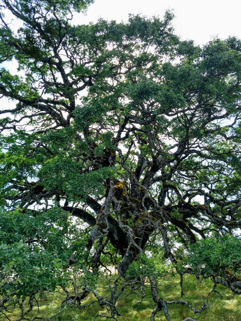
Nearly at the parking lot, I took a brief detour to the Pine Ridge viewpoint which is less than a quarter mile from the trailhead. I'm glad I did as I saw one of the largest California oak trees I've ever seen-
Mount Sizer was an exceptional mountain and hike. Hope you have a similar experience!

No Comments