


South Yolla Bolly Mountain (also sometimes known as Mt Linn) is a prominent mountain of the California Coast. In fact, its the highest summit in the North Coast Ranges and an exceptionally scenic summit. In spite of its relative altitude and visibility from much of the Central Valley, its infrequently hiked/climbed. This is probably because of the long approach on a mess of dirt roads. Nevertheless, its a worthy hike with incredible views of almost every major natural landmark in Northern California. I hiked it in June 2020.
Getting to the Trailhead of South Yolla Bolly
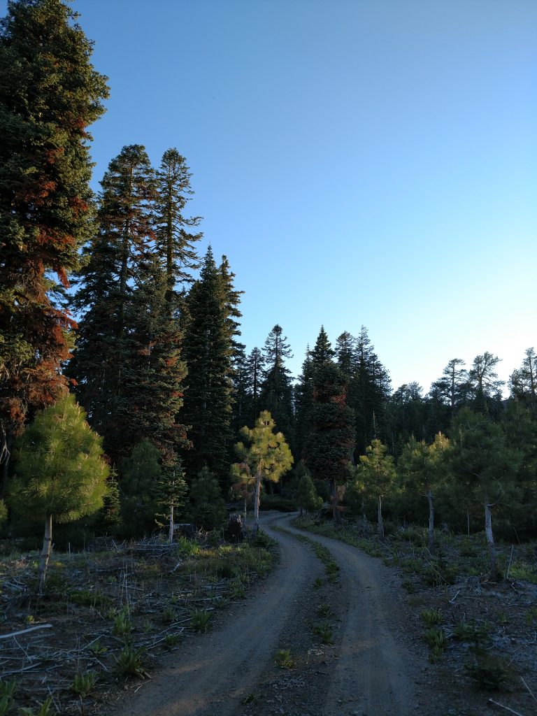
Oh boy. The short story of getting to the trailhead is: don't use google maps and plan the route carefully. There's a few things worth noting about the forest service routes:
- Generally speaking, any route prefixed with "M" (i.e. M2 and M22) means "maintained" but check locally before assuming its been recently maintained
- Roads change frequently in the forest service; I assume this is related to budgets and logging activity
- While plenty of people make it to the trailhead in low-clearance 2WD vehicles, it really helps to have high clearance 4WD. But as always, there's somebody in a Prius who made it to the trailhead no problem.
- That being said, about 95% of the driving does not require high clearance. The last 2 miles were rocky and rutted; I would not take a 2WD up them.
I've included my driving route below in addition to the hike:
A Few Remarks about the Drive to South Yolla Bolly Wilderness Trailhead
The driving route I took can be found at this link. A few remarks about directions:
- Its about 18 miles of good, paved road from Paskenta Station up "M2" to the end of the pavement.
- At the end of the pavement, continue straight on "M2"
- Keep an eye out for signs for "Ides Cove"
- Stay on M2 as it passes by numerous forks and a 4-way junction
- At approximately 21.6 miles from Paskenta Station, turn right on "M22" or "Ball Rock Road" or "FR 23N01"
- Stay on the main, well-traveled dirt road for another 2.7 miles to the next junction, 26.7 miles from the start of drive from Paskenta Station.
- This junction of "25N19" on the left and "25N01" on the right was confusing- to me, the better road was the one that went left or "25N19". However it was less direct to my destination. Either way, I decided going left was better and I didn't regret it
- I stayed on "25N19" as it meandered around Snake Ridge and Raglin Ridge about 1.9 miles. The road forks with 25N23 and I took a right to rejoin "Ball Rock Road"/"25N01" after 0.3 miles
- Back on "Ball Rock Road"/"25N01", I followed it as it winded up 3.6 miles to the junction with a road unnamed on Google Maps
- I went left at this junction for the final 1.6 miles to Ides Cove. This section was rutted and difficult for me, I advise high clearance.
That description might be confusing but it demonstrates the hazards of navigating Forest service backroads. Other driving routes exist but I felt generally confident in my Subaru's ability on the route I took.
Hike/Open Country Walk to South Yolla Bolly Summit (Mt Linn)
I parked at Ides Cove and began walking from there. Initially I thought this would be a brief walk to South Yolla Bolly but Ides cove is 1,500' vertical feet lower than the summit. Oh well.
Departing from the campground, I followed the deteriorating road another 0.6 miles to another parking area (previously unknown to me). I discovered a trailhead but the trail wasn't headed towards South Yolla Bolly. Following the remains of a logging road that went left from the trailhead, I went another third of a mile before simply taking the most direct route I could find to the summit
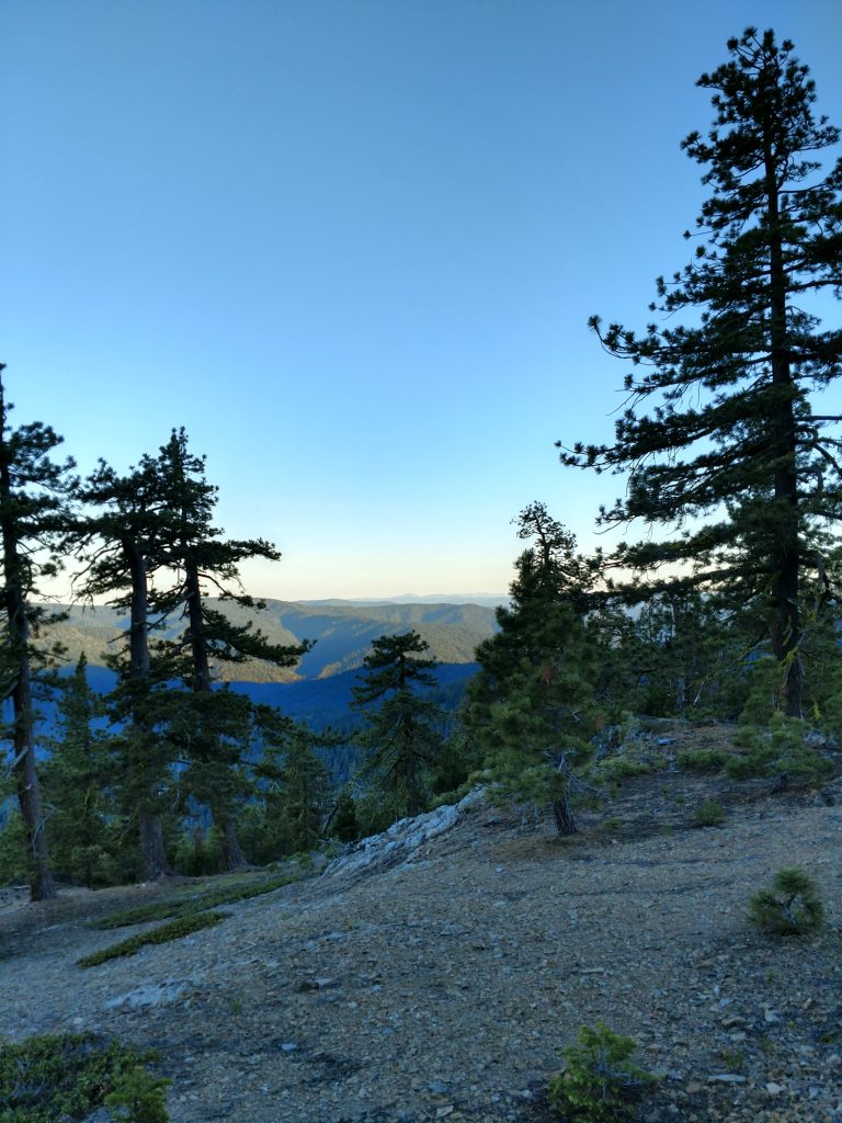
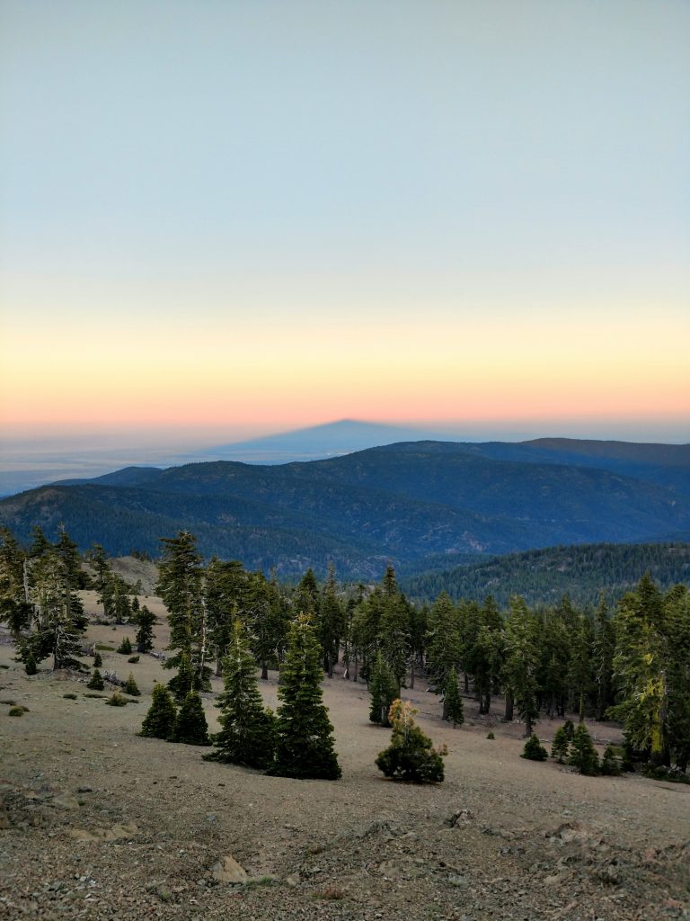
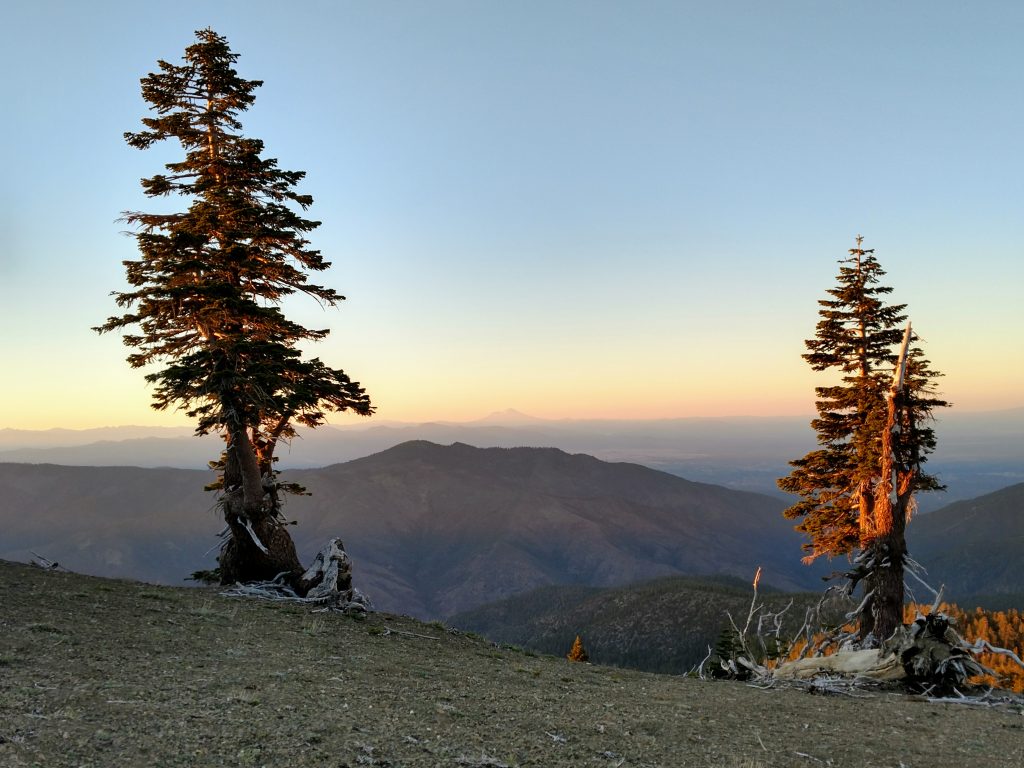
After a brief walk through some underbrush, I reached the alpine zone of the mountain. Trees were noticably stunted allowing exceptional views. Sunset illuminated the flanks of distant Mt Shasta and Mt Lassen.
From the actual wilderness trailhead, its only 1.5 miles (one way) to the summit). I covered this distance in no time, in spite of the steepness. Here and there I picked up a herd path through the rocks but nothing that qualified as a "trail".
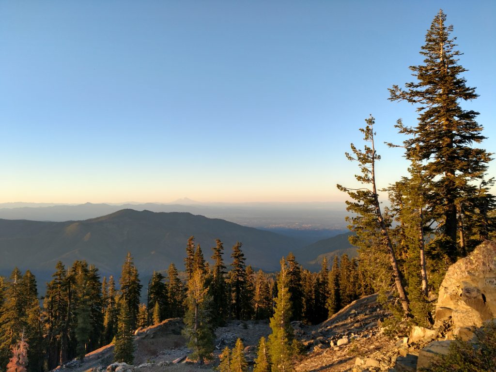
I gained the summit 15 minutes before sunset on Summer Equinox 2020. Below me, the North Coast Ranges looked completely wild and uncivilized. I gazed across a landscape of mountains which I hope to hike someday. Some of the more obvious summits from the top were Black Butte (South), Anthony Peak (South-Southwest), the King Range (West) and the summits of the Trinity Alps and Mt Eddy (Northwest/North).
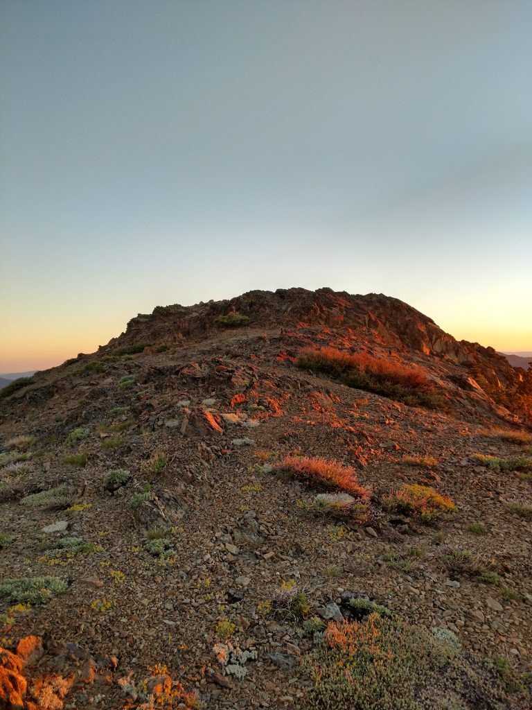
South Yolla Bolly's (Mt Linn's) summit was bare and without any summit register. As dusk faded to night, I made my way back the same route; 5.1 miles round trip from Ides Cove.
Camping at Ides Cove was delightfully free. There were pit toilets and no water sources of note. However, I love a free campsite. Onward to further summits of the North Coast!

No Comments