


Black Butte is the 7,454-ft high point of Glenn County, California. In spite of its prominence and remoteness, its actually a short and straightfoward hike. I hiked Black Butte in June of 2020 and although it wasn't particularly adventurous, the views at the top were exceptional.
Getting to the Black Butte "Trailhead"
Black Butte is one of those mountains where the time driving exceeds the time hiking. This is probably why it gets few visitors outside of the peakbagging world. I therefore poured over my maps and did a lot of online research before setting fourth.
I've included the map of my hiking and driving route below:
As with many of my past excursions on forest service roads, Google Maps is unreliable. Here's the route I took:
- I started at the intersection of County Road 306 and CA-162
- I drove CA-162/Forest Highway 7/Adler Springs Road for 15.4 miles until the pavement ends
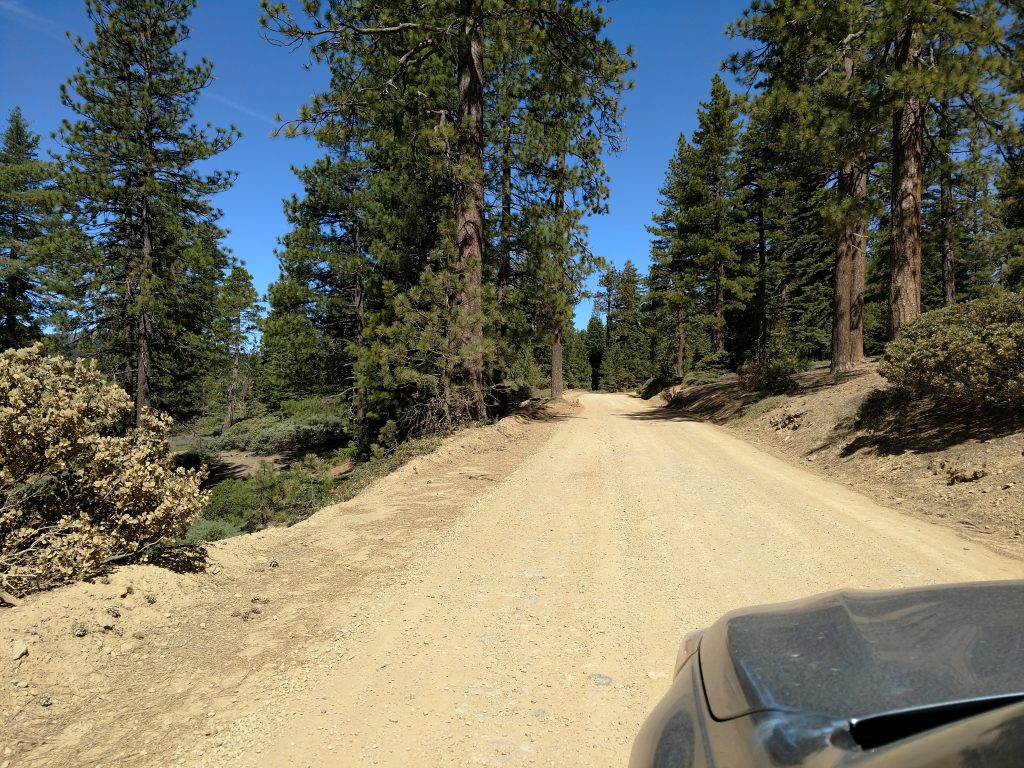
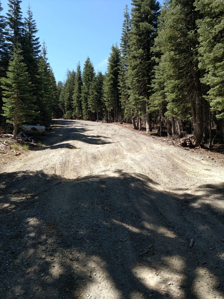
- After the pavement ends, I continued straight on the same road for an additional 16.6 miles on a well-traveled dirt/gravel road. This road is considered passable by passenger vehicles but is remote
- At approximately 32.0 miles from the intersection of County Road 306 and CA 162, I came to the turnoff for Black Butte and parked here. A brief survey of the road that heads up Black Butte revealed a quickly deteriorating road that's best traversed by high clearance 4x4
- It took me about 1 hour and 15 minutes to make this drive
A few notes on the road; it has several names including Forest Highway 7, Adler Springs Road and Medocino Pass Road. The road eventually goes to the small town of Covelo and I presume remains passable the whole way. Most people climbing Black Butte also have interest in climbing Anthony Peak, the highpoint of Medocino County and its easy to complete both on the same trip. I'll post my trip report on Anthony Peak soon.
As far as clearance goes, a passenger vehicle would be fine but I appreciated having my Outback. It made the travel a little faster. Don't travel this road after heavy rains/storm and check with the forest service during the winter especially.
Black Butte (Glenn County) Hike
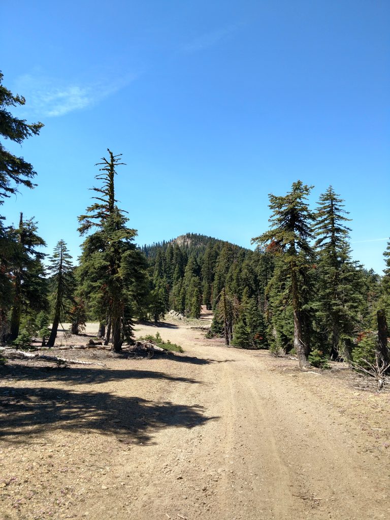
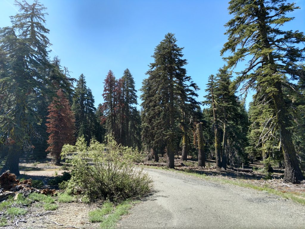
After getting to the turnoff for Black Butte, I began walking the rest of the road. Even in late June, the temperatures were delightfully cool, contrasting the blazing Central Valley where I started my day. Overall, it was shady and not too steep.
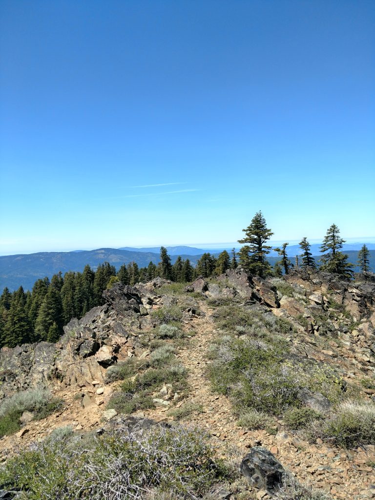
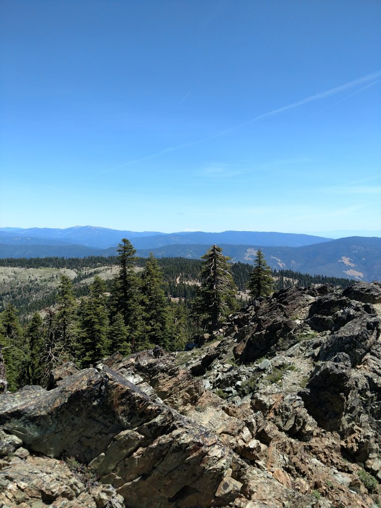
After about 1 mile, the road faded into a single track trail. I discovered no signs but an obvious path that eventually lead to the summit. The path winds its way through ponderosas with occasional views of Mt Lassen and the Central Valley.
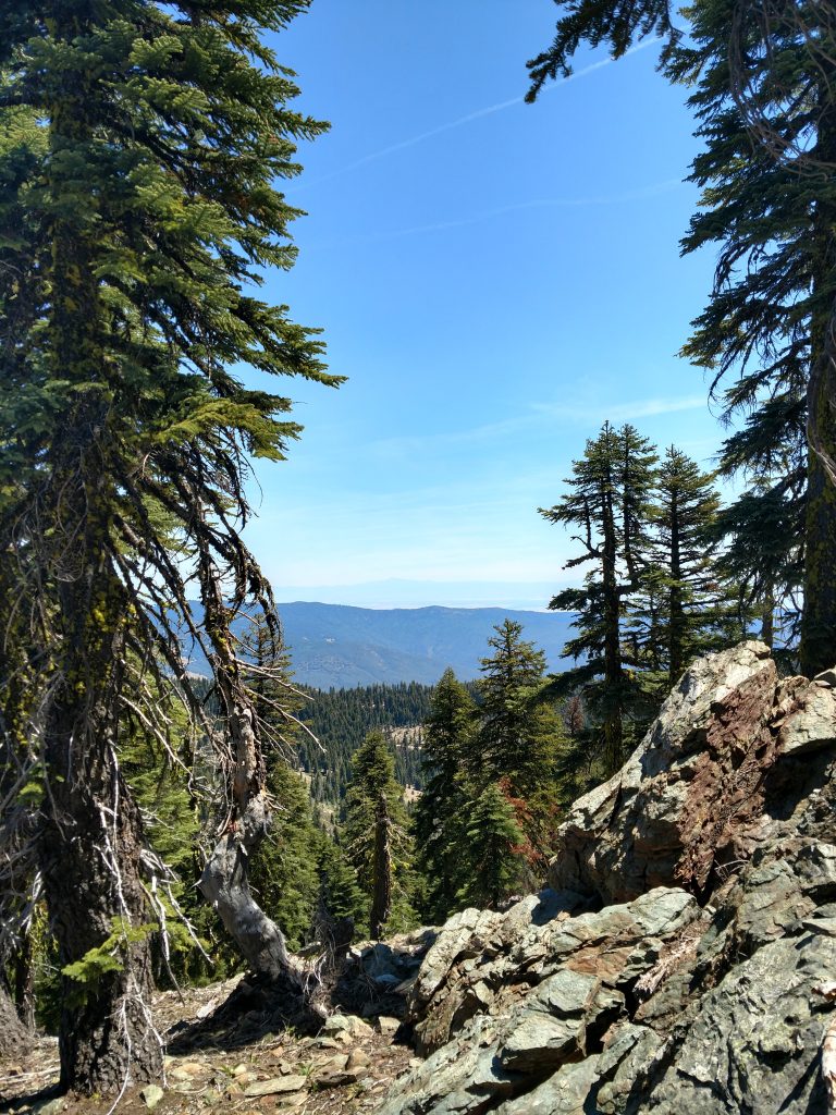
As I reached the obvious summit, the trees disappeared and I had a panoramic view of the area. I achieved the summit within an hour of walking from the car.
There was nobody at the top which I appreciated. Unforunately there was no summit register either. I found all three benchmarks confirming the achievement but I love reading stories and notes about other's attempts to climb all the California County High Points.
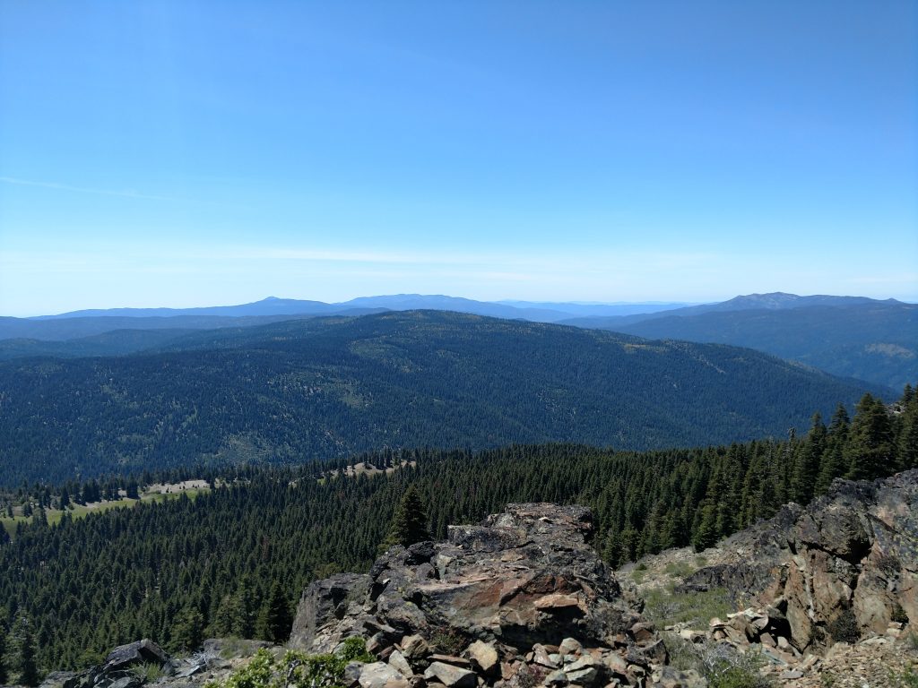
Alltogether, its a short hike without any real challenges beyond driving to the "trailhead". In the quest of climbing all California County High Points and California County Prominence Points, this is a gimmie.
I continued on to the summit of Anthony Peak in Mendocino County. Black Butte and Anthony Peak are usually climbed in the same outing if you care to know.

No Comments