


Anthony Peak is the highest mountain and point in Mendocino County. At the summit, there's panoramic views of the North Coast Ranges, Covelo Valley and the extensive wilderness of Northern California. Most, like myself, hike Anthony Peak in conjunction with Black Butte (highpoint of Glenn County). Here's my account of the drive and short hike up this summit.
Note that although the summit is short compared to the Sierras, Anthony Peak receives considerably snow and may not be easily reached earlier than June in wetter years. Check with the forest service about Mendocino Pass Road and Wells Cabin Campground before venturing out.
Getting to Anthony Peak "Trailhead"
This is another peak where the drive time well exceeds the hike time. Although I enjoyed the wilderness around Anthony Peak, the drive is a bland and slow. Its also not a good idea to use Google Maps to get there- get a reliable forest service map or Gazetteer and spend lots of time studying them. Here's the directions I followed:
- I started at the intersection of County Road 306 and CA-162
- I drove CA-162/Forest Highway 7/Adler Springs Road for 15.4 miles until the pavement ends
- After the pavement ends, I continued straight on the same road for an additional 22.9 miles to Mendocino Pass on a well-traveled dirt/gravel road. This road is considered passable by passenger vehicles but is remote.
- Five Roads Converge at Mendocino Pass- take careful note to continue on M4 which heads in a generally Northwestern/Northern Direction. M4 is generally good quality and most vehicles shouldn't have trouble but it was slower and more tedious that the previous road.
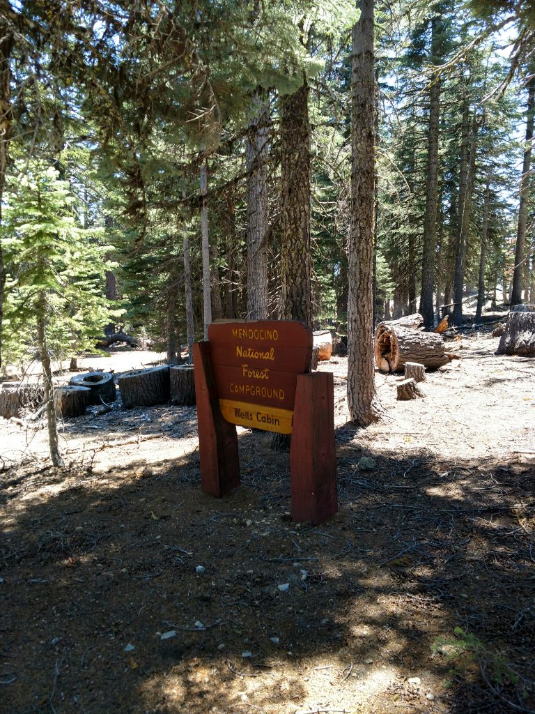
- Take M4 3.7 miles to Wells Cabin Campground and the intersection of FS 23N60
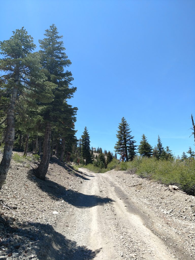
- Low clearance vehicles should park at the campground. High Clearance vehicles (and drivers with experience) may continue the final 1.4 miles up FS 23N60 to the summit of Anthony Peak
Here's my Google Maps for perspective:
My "hike" of Anthony Peak
Not wanting to push my luck on a dirt road that was 20+ miles from any services, much less pavement, I parked at Wells Cabin Campground and walked the rest of the way.
I'm a nervous person driving on dirt roads due to some verty unfortunate experiences in the past. When I began walking the final 1.4 miles up FS 23N60, I'm glad I didn't attempt driving the final section. Its rutted and a bit sandy in some places. People with better experience with off-road driving probably won't have issues.
As for the walk, it was not too steep and the views were great. Anthony Peak receives extensive snowfall in the winter and is fairly exposed to wind considering its altitude. Trees appears stunted and windswept, certainly not the large specimens I saw at lower altitudes.
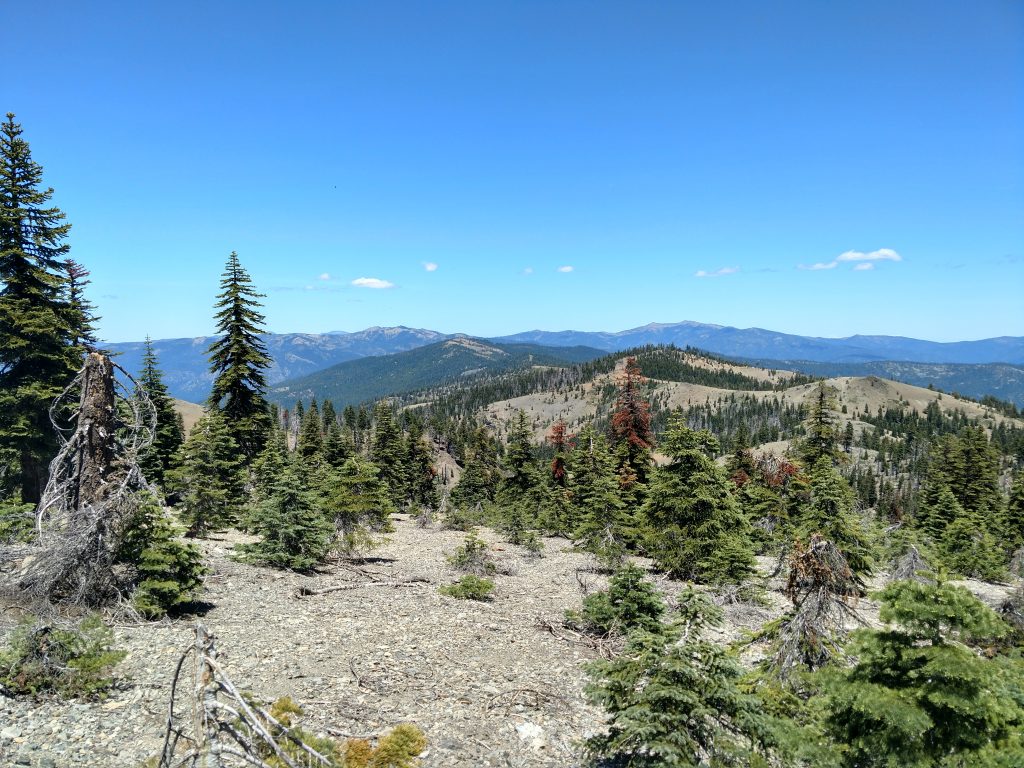
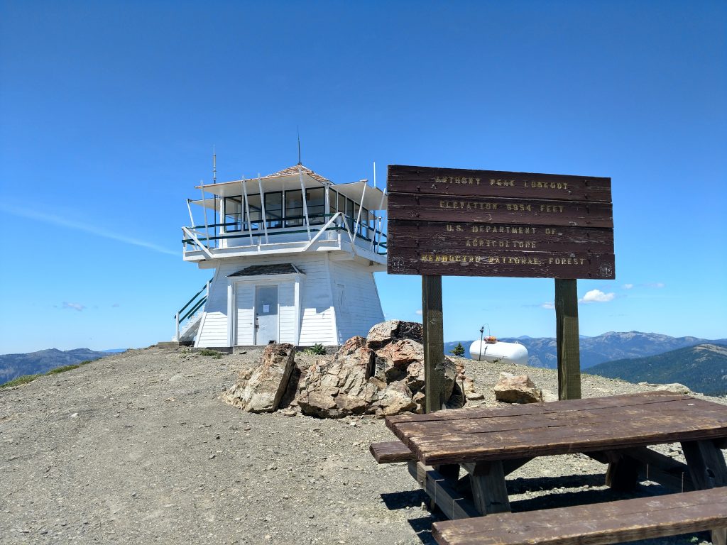
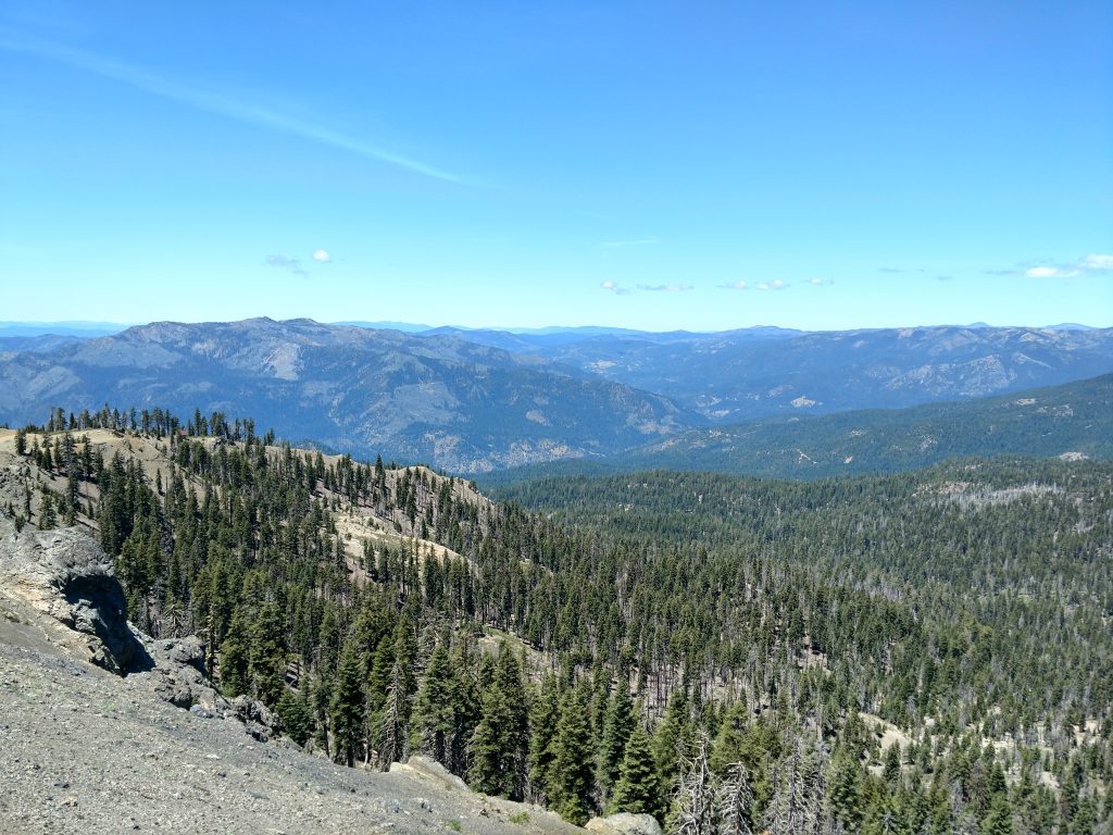
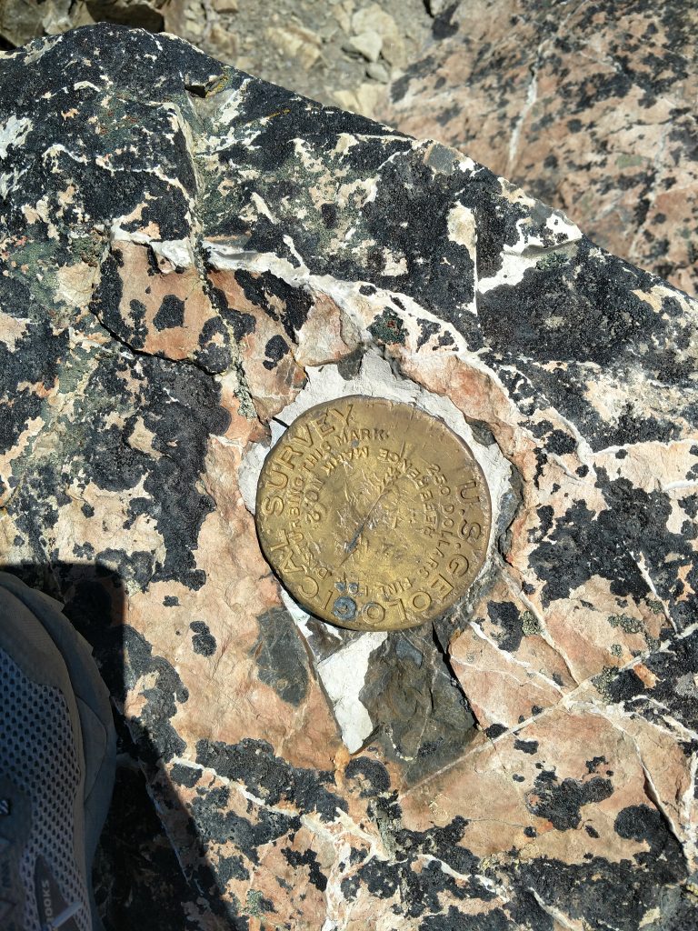
It took no more than 30 minutes to hike from Wells Cabin Campground to the summit of Anthony Peak. What a grand panorama the summit had! South Yolla Bolly and the highest summits of the Central North Coast Ranges were visible to the North. The pancake-flat and out-of-place looking Covelo Valley was also clearly visible.
Due to COVID19, the firetower was closed. However, the extra 20 feet of vertical allowed entirely unobstructed views.
I'm glad I hiked the final section- felt a little more adventurous. I mostly had the place to myself except for a single family that coaxed their pickup truck to the very top.
Alltogether, the hike took me about an hour, round-trip while the drive took 4 hours, round trip (from the highway to summit and back)). Not a great hike for those who get carsick easily but necessary for California County High Pointers.
Postscript on Getting from Anthony Peak to South Yolla Bolly
I finished the day with a final drive to South Yolla Bolly, summiting as the sun set. Since I know some peakbaggers will read this- I found no clear way of driving from Anthony Peak to the parking area for South Yolla Bolly- had to drive all the way down the mountain and all the way back up the other in spite of their relative proximity to each other.

No Comments