


Burra Burra Peak is a remote summit in the southeastern section of Henry W. Coe State Park. Nearby summits of note include Vasquez Peak and Rock Springs Peak. Both are less remote but the former is a sought-after summit on the Bay Area Nifty Ninety Peakbagging list. The Dowdy Ranch entrance is technically the closest access point to Burra Burra Peak. However, Dowdy Ranch is infrequently and irregularly opened by the park staff over summer weekends. I'm told this is due to limited volunteers and dedicating park staff to more important tasks. These facts are inconsequential to most but to peakbaggers like myself, hiking Burra Burra Peak becomes a herculean task. As it was one of my final summits on the San Francisco Bay Area Nifty Ninety List, I decided on a hike from Hunting Hollow, figuring I could tag 2 of my final summits in a day. I doubt anyone other than the truly fanatical peakbagger would care about this extremely long approach but here we go...
Burra Burra Peak, Vasquez Peak and Rock Springs Peak Overview
Based on peakbagger.com records, Burra Burra Peak is the least climbed mountain of the Bay Area Niftey Ninety. Its 2,281' and with 481' of topographic prominence - fairly average for the Bay Area. Rock Springs Peak somehow missed the list although at 2,280+' and with 320' of prominence. Vasquez Peak at 2,210' is a random inclusion on the list given it's taller neighbor less than a quarter of a mile away.
From my research, the most efficient way to bag all three from Hunting Hollow was a 19.7 mile hike with 5,100' of gain. Effort-wise, it's similar to a day hike of Rose Peak although with 1,000' greater of altitude gain. The 1,100' of descending and re-ascending between Rock Springs Peak and Burra Burra Peak is maddening.
Here's my map:
Hunting Hollow to Vasquez Peak and Rock Springs Peak
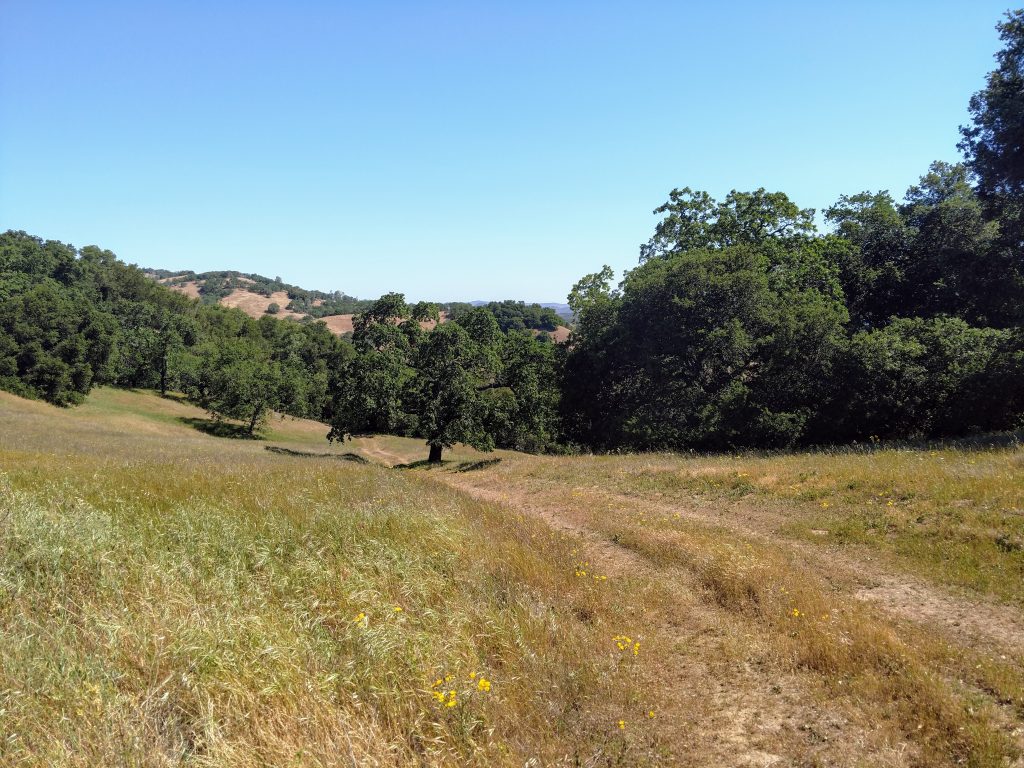
From the Hunting Hollow parking area (elev. 860'), I hiked up Hunting Hollow Road 0.5 miles to an old cow pen and went left on the single track. Immediately after leaving the road, I took another right for Lyman-Willson Ridge Trail toward Wilson Camp. The next 1.3 miles were extremely steep and with minimal shade. It was 1,100' of climbing before reaching the next junction with the Bowl Trail. Going right here, I followed this relatively flatter trail about 1.0 mile to Wilson Camp. There was a backcountry bathroom and water but filtration was needed.
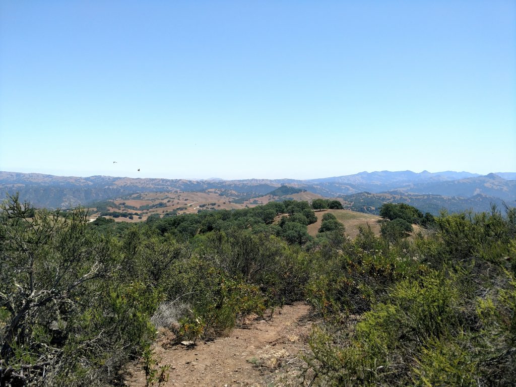
Just past Wilson Camp is a confusing intersection with 3-4 different trails heading in all directions and ambiguous signage. From the camp, I crossed the fire road and headed in a northerly direction. I lost about 200' on this way but Vasquez/Rock Springs Peak clearly came into view. Roughly 1.4 miles from Wilson Camp and 5.3 miles from the trailhead, I stood on the nondescript summit of Vasquez Peak. In another 0.6 miles I stood upon the summit of Rock Springs Peak. In both cases, it was helpful to have a GPS and map, otherwise the highpoints were unmarked and had no registers.
Vasquez/Rock Springs Peak to Burra Burra Peak
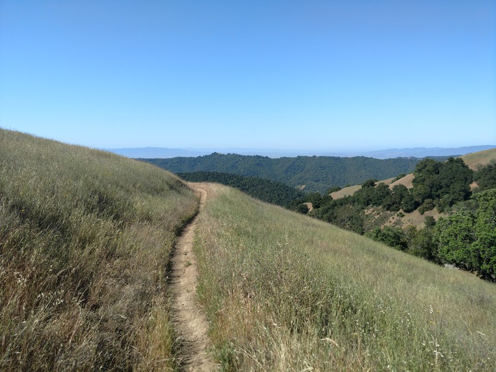
It took me about 2.5 hours to hike from Hunting Hollow to Vasquez Peak and Rock Springs Peak. The temps were rising and the hardest part of the hike lay ahead. I decided to go for it, stashing water near the summit and beginning the difficult. Between Rock Springs Peak and Burra Burra Peak is a normally dry wash marked as Cañada De La Dormida on the map. Over 2 miles I lost 1,100 of altitude on an increasingly faint fire road that abruptly ends in the wash. Once at the the bottom, I searched around for the trail that ascends out toward Burra Burra Peak.
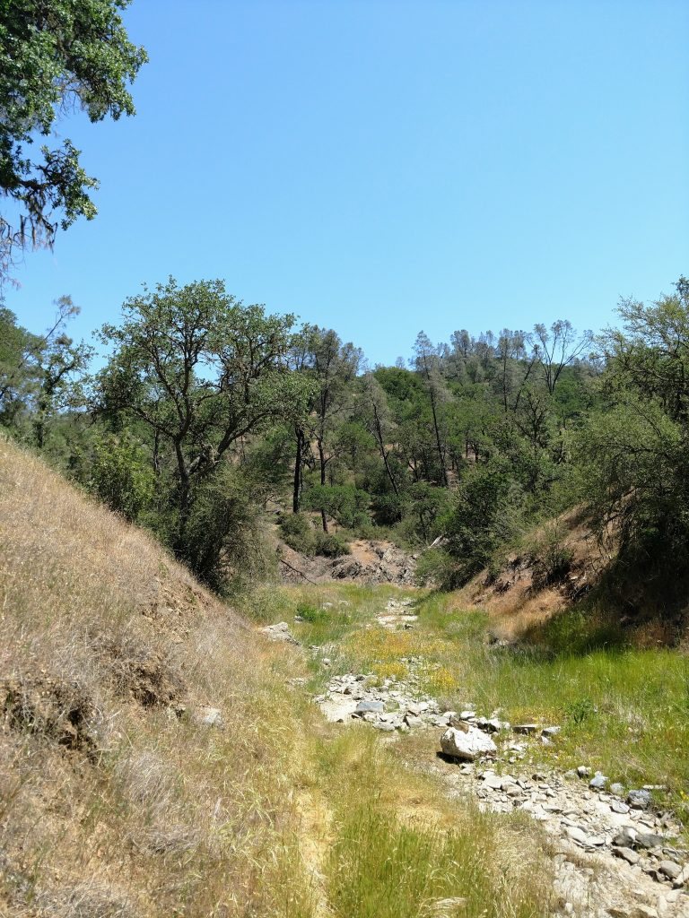
Eventually I found a sign pointing toward the Dormida Trail but it was overgrown and faint. I was following a route/scramble more than a trail at this point. Steadily I ascended another 1,100' although this time in just a mile. As I approached the now-visible Burra Burra Peak, the trail became more evident.
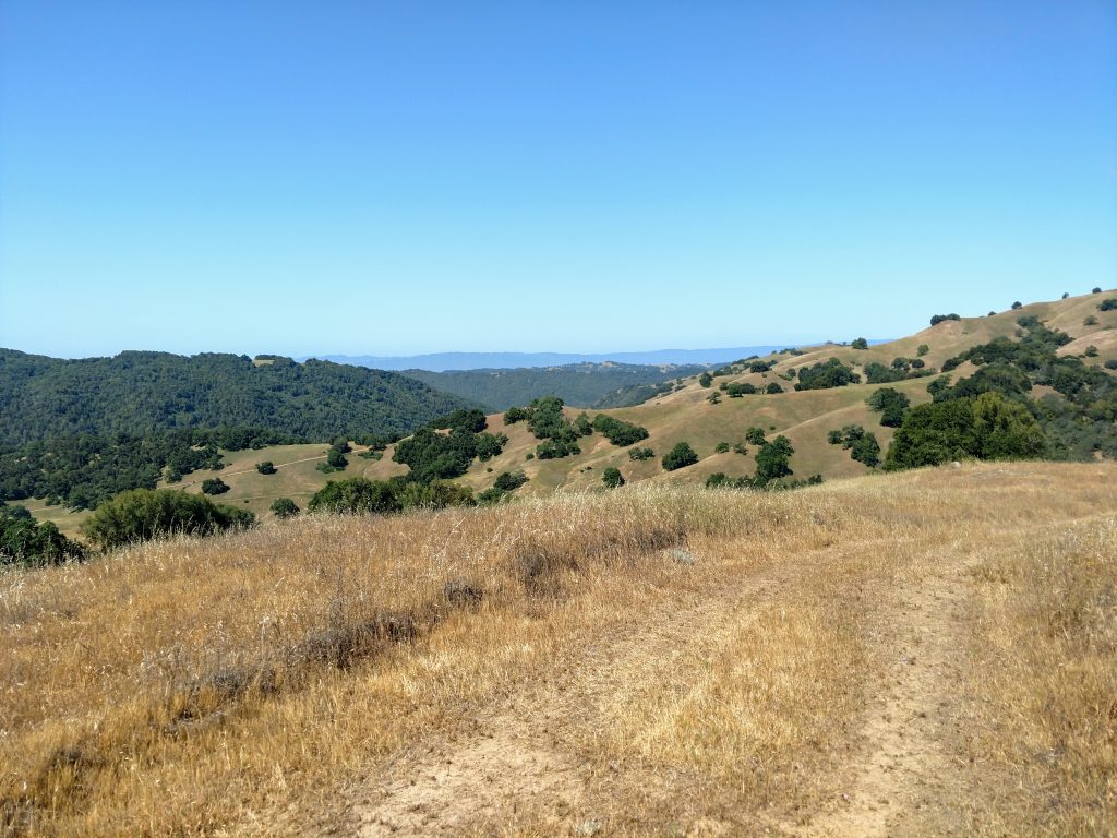
At a point roughly 1.3 miles from the bottom of the wash and 9.1 miles from Hunting Hollow, I came to another poorly marked intersection. Ahead lie a sub-summit of Burra Burra Peak and an obvious herd path. The trail heading hiker's right or south looked far more traveled but headed away from the summit. I decided to take it although was concerned it was the wrong way. Turns out the herd path only ascends the sub-summit and does not gain the high point. Thank goodness.
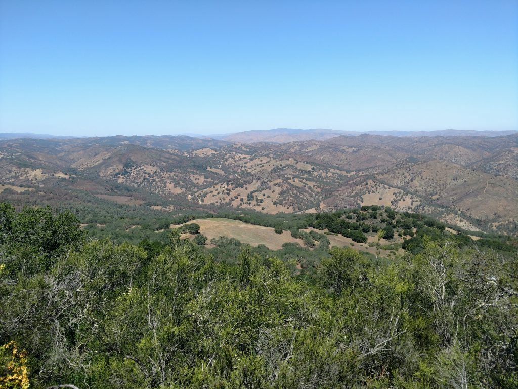
Weaving around the southern side of the peak, I worked my way along narrow single tracks until eventually circling to the summit. The highpoint of Burra Burra Peak is unambiguous, thankfully. There's views in every direction and a large, black summit cannister with a register inside. What a view!
Summit and Return
The summit register held all the who's who of Bay Area peakbaggers. Even I was surprised to see only 3 names in the book as of May 2021. It looked like only 20-30 parties make it to this summit a year; a testament to Burra Burra Peak's remoteness. I delighted in the solitude although paid dearly for it in effort and sweat.
It took me 4 hours to hike 9.4 miles from Hunting Hollow to the summit. I hiked slowly but consistently, only stopping for water and a quick snack. I spent about 30 minutes on the summit then returned the same exact way. Naturally the descend and re-ascent up Rock Springs Peak was soul-crushing, especially in the mid-afternoon heat. There's minimal shade too.
I winded along all the up-and-downs before beginning the final descent down Wilson Camp. The steepness of all the trails made the downhill feel just as strenuous as the uphill; hiking poles alleviated some of the challenge. When I made it back to the trailhead, my pace remained remarkably consistent- 2.5 miles per hour over 19.7 miles.
Overall, it was enjoyable in spite of the intensity. Henry Coe is such a massive and mostly untraveled park than any hike over 5 mile is characterized by splendid solitude and quiet.

No Comments