


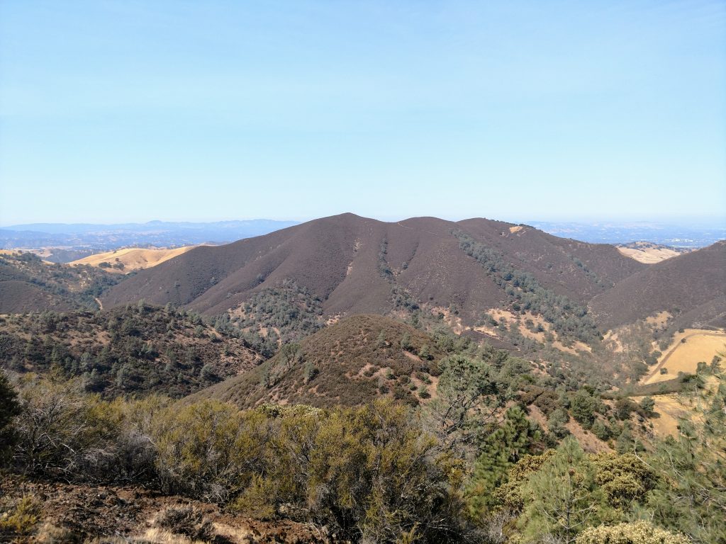
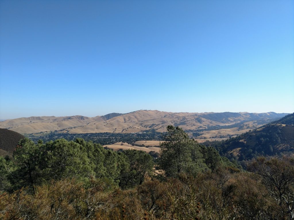
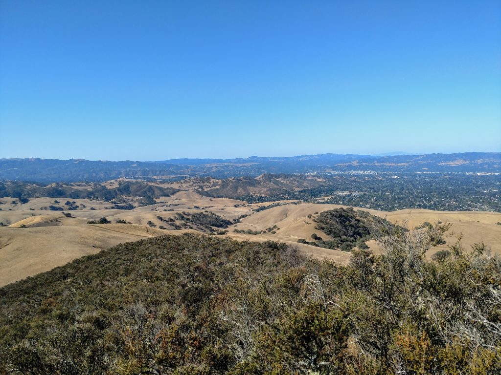
Black Point is a mountain in the northwestern section of Mt Diablo State Park, best accessed from Mitchell Canyon Staging Area. It boasts panoramic views of Mt Diablo as well as much of Contra Costa County. Its not nearly as traveled as the rest of the park making it one of my favorite hikes in the park.
Black Point Hike Overview and Peakbagging Notes
There's a single trail that crosses over Black Point's summit and the closest parking is Mitchell Canyon Staging Area. Like the rest of the park, they charge admission fee at Mitchell Canyon. There's no available statistics on usage but I believe this remote northwestern section of the park receives a fraction of the visitation of the infamous Mt Diablo.
Black Point can be hiked as an out and back but is better as a short loop. The best loop hike is about 4.9 miles and involves 1,000' of gain. My map is below.
For peakbaggers like myself, Black Point's altitude of 1,791' and 619' of topographic prominence is fairly average for Bay Area summits. It's oddly missed on the Sierra Club's Bay Area Nifty Ninety Peakbagging list. I consider it one of the most splendid mountains of the East Bay given its isolation from busier hiking areas.
Black Point Hike Directions
Park at the end of Mitchell Canyon Road in Clayton, California and pay the entrance fee at the visitor center. Before embarking, I recommend checking out the nature walk at the visitor center. It highlights the the chaparral, flowers and trees encountered on this hike.
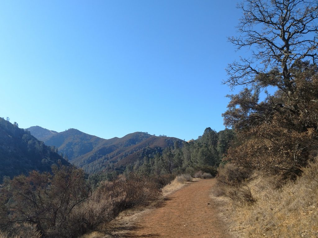
Start walking down Mitchel Canyon Road (fire road) for 0.5 miles and turn right at the first intersection for the Black Point Trail. Climb a very steep 1.4 miles up its northern flanks. On the hiker's left there's a short spur trail that gains the last 100' to the well-marked summit. After taking in the gorgeous views, return down the spur trail, then go left to continue another 1.0 miles to complete the loop. The single track trail ends at an intersection with Red Road, go left here. Red Road continues another 0.6 miles before linking up with Mitchell Canyon Road. Follow this road 0.9 miles back to the trailhead. Note that the Globe Lily Trail parallels Michell Canyon Road for about 0.5 miles and is a more shaded and pleasant alternative to hiking the fire road.
It takes about 2-3 hours to complete this hike. Its good any time of year including summer if started early enough.

No Comments