


Rose Peak (3,817 feet) is the highest mountain of the East Bay Regional Parks system and the highest legally accessible point in Alameda County. Although not tall by California standards, it is one of the tallest mountains in the Bay Area and high enough to receive dustings of snow several times a year. Given Rose Peak's remoteness and location on the Ohlone Regional Wilderness Trail, its a coveted summit for Bay Area outdoorsy folks. I finally climbed this summit in the Spring of 2021.
Rose Peak Hike Options
There are two ways of hiking Rose Peak. Both are about the same distance and altitude gain. At a minimum Rose Peak is a very long day hike. Alternatively, its a great backpacking trip and there are many campsites and water sources along the way. Here's the options-
- Del Valle Regional Park: This is about a 20 mile round trip with about 4,400' of gain. It starts from the parking lot of Del Valle Regional Park. There's a $6.00 parking fee for the park. Taking the Ohlone Trail to Rose Peak involves a notable 700' of altitude loss to Williams Gulch then climbing 1000' in 2 miles up the "Big Burn". There's one final "pointless-up-and-down" at North Fork Indian Creek with a loss of 400'. Check parking fees and access before going here.
- Sunol Regional Park: There's several trails from Sunol Regional Park the eventually lead to the main artery of the Ohlone Trail. The way I did it was an 18.2 mile round trip with 4,100' of gain. Fortunately there's not much altitude loss on the way to Rose Peak. Between the two, I prefer this option. Check for any access restrictions before going here.
- Stanford Ave Staging Area, Mission Peak Regional Preserve: For a real adventure, backpack the full Ohlone Trail from Fremont to Del Valle. This is a 28 mile trek with ample camping and water sources along the way. Its best done over a 2 day, 1 night trip.
Here's a map of the route I chose. Note that I took the Ohlone Camp Trail passing Little Yosemite then connected with the Ohlone Trail via Backpack Road.
Peakbagging Notes on the Alameda County High Point
This is a brief tangent for any other peakbaggers out there. As mentioned previously, Rose Peak is the highest "legally accessible" point in Alameda County. Peakbaggers know there are two other candidates for highpoint that have access issues. Discovery Peak, altitude 3,846' is located just a few hundred yards outside of a non-public land bank of the East Bay Regional Parks System. Its not entirely clear who owns the land of the summit but its likely part of the massive N3 Cattle Company. Another equally likely candidate for high point is Challenger Peak, altitude 3,845' , about 1.6 miles southeast of Discovery Peak. Challenger is deeper into private land, presumably the N3 Cattle Comapny. Notably, the 50,000 acre ranch is currently for sale. There's speculation that the State of California would purchase the land for a massive state park.
Rose Peak: Sunol Regional Wilderness to Ohlone Regional Wilderness
Here's a description of the route I took.
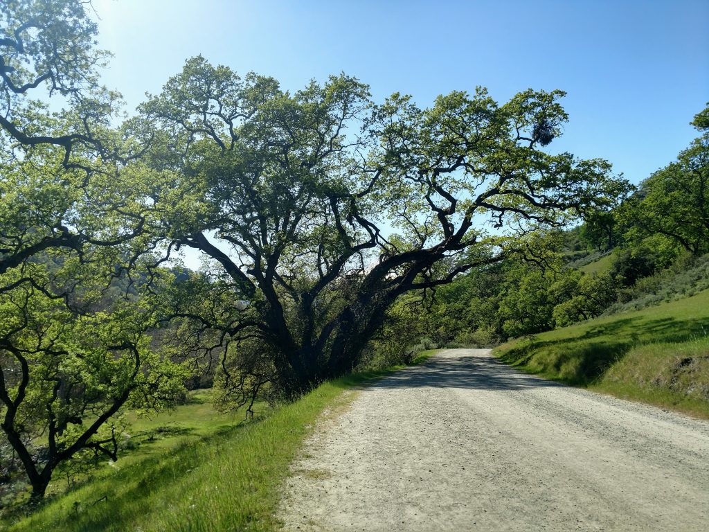
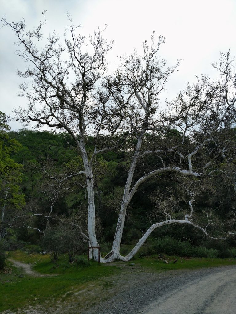
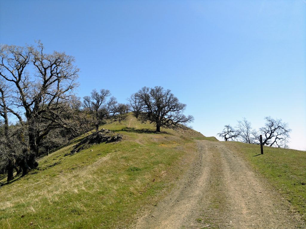
I started from the parking area at the end of Sunol Regional Wilderness, the same trailhead for the famous "Little Yosemite" area. The parking area is at an altitude of about 430'. From there, I headed 1.1 miles up Camp Ohlone Road to Little Yosemite. I continued another 1.0 mile, past the famous "W Tree" and to the intersection of Camp Ohlone Road and Backpack Road. I took a left here and climbed steeply over 0.6 miles to its intersection with the Ohlone Trail aka McCorkle Trail (2.6 miles from start) .
I took a right on this trail, headed generally East through the backpack camp about 0.5 miles. There are glorious campsites here for backpackers - wish I could have stayed. Just outside the backpack camp, I entered San Francisco Water Department land with strict signage to stay on the Ohlone Trail.
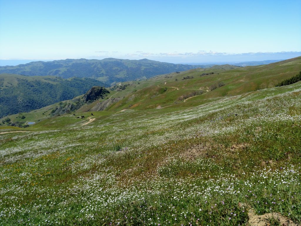
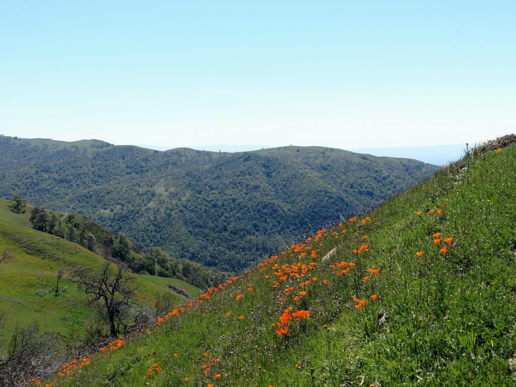
This section was remarkably covered in wildflowers in the mid-Spring. However, the trail was quite faint in some section. It helped having a pre-loaded GPS route for navigation. I hiked 1.5 miles along this ambiguous trail before linking up with a service road, then followed it another 0.5 miles to the boundary/gate of Ohlone Regional Wilderness. I saw no one for hours. The gate to the wilderness was an even 5.0 mark and 2,000' of gain
Ohlone Regional Wilderness Boundary to Rose Peak
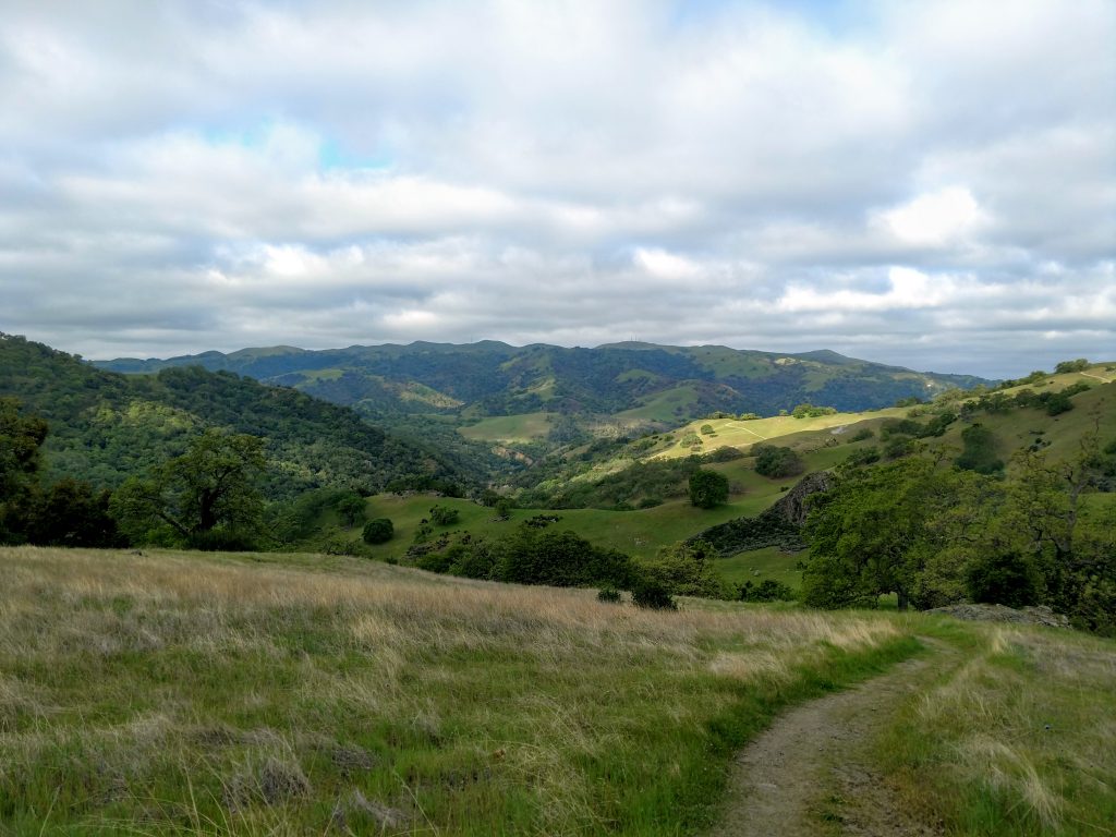
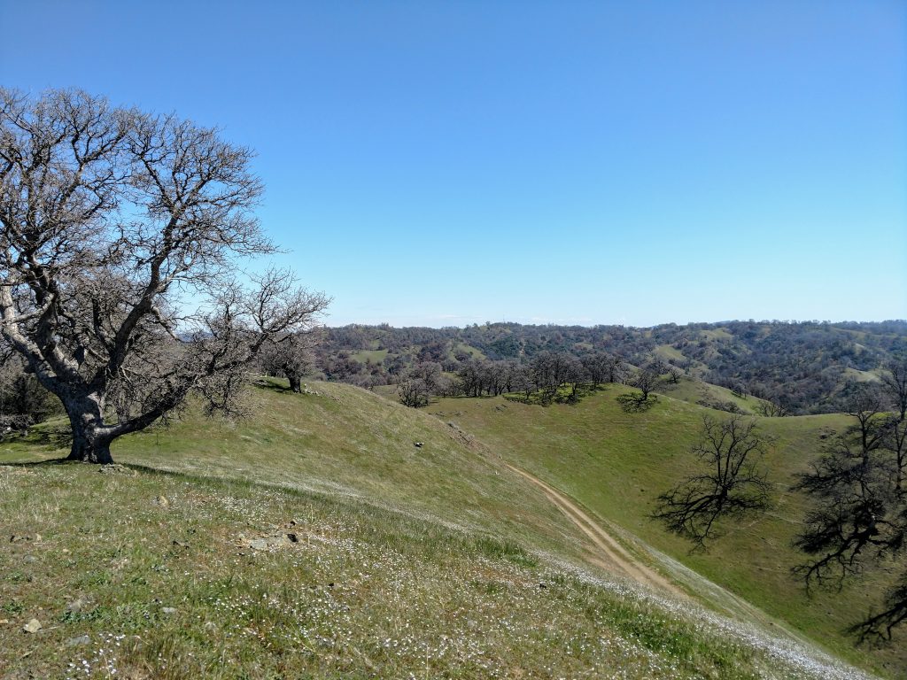
Effort-wise, this was the halfway point for me. Its another 4.1 miles to the summit of Rose Peak but its persistently steep. At this point, the Ohlone Trail is essentially a ranch road that heads deep into the wilderness. I walked another 1.8 miles through the open high country of the park and followed the obvious signs for the trail. Then I descended a steep 0.1 miles to the South Fork of Indian Creek and continued the ever ascending road.
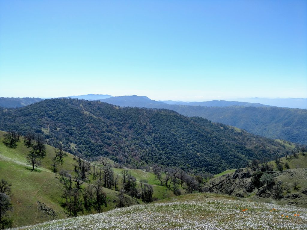
From the creek crossing to the summit was 2.0 miles. Oak savannah dominated the environment and there were plenty of views. Mt Diablo finally came into view to the North and Copernicus Peak/Mt Hamilton were visible to the South. Eventually I could see nearly every major summit in the Bay Area. Rose Peak itself remained ambiguous until the final quarter mile. At this point the trail forks- left is for Maggie's Half Acre backpack camp and right is Ohlone Trail proper. I stayed on the Ohlone Trail for another 0.22 miles until the obvious summit of Rose Peak finally came into view.
After 9.1 miles of hiking and roughly 3,600' of gain, I stood on the summit of Rose Peak. Its nothing like the grand summits of the High Sierra but the sense of accomplishment was still there. For my peakbagging pursuits, Rose Peak was the last of the "Everest by the Bay" summits and #86 of 90 on the "Bay Area Nifty Ninety" list by the Sierra Club. I found no benchmark at the top but some cheeky person left a fake bunch of roses at the top; how clever. There's an ammo box stashed in a hollowed out tree trunk near the summit with a register/geocache.
I followed the same route down without much trouble.
Final Stats and Thoughts on Rose Peak
My moving time was 5 hours and 56 minutes and I averaged about 2.8 miles per hour. I took a 45 minute break at the top to appreciate the views but otherwise kept constantly on the move. Some folks finish faster but I believe an average time for this infrequently hiked mountain is closer to 8-10 hours. Given the extreme altitude gain, I see why folks make this into an overnighter.
Now having hiked Rose Peak's vicinity from both Del Valle and Sunol, I prefer the Sunol way better- its a little shorter and there's less "pointless up-and-downs" that plague the Del Valle approach. But either way, the wilderness is splendid and unmatched for the Bay Area, outside of Henry Coe State Park.
Happy Trails!
-Quincy

No Comments