


Rocky Ridge, Las Trampas Peak, Eagle Peak and Vail Peak are are a four summit, 10 mile loop hike near Danville. Its a great slice of wilderness in the East Bay.

As we head into fall in the Bay area, the East Bay becomes temperate and ideal for hiking. The East Bay Regional Park District maintains some massive swaths of open space for that purpose. One such park, Las Trampas Regional Wilderness caught my eye last weekend and I headed out early to check it out. My main destination was Rocky Ridge, one of the highest mountains in the East Bay and Las Trampas Peak, Eagle Peak and Vail Peak. The three later summits are part of Bay Area Nifty Ninety Peak List from the Sierra Club.
Any of these summits can be done individually as a shorter hike. I suppose it's only manic peakbaggers like myself that combine all four.
Route Map:
Trailhead to Rocky Ridge Summit
At the trailhead, I picked up this map, available online which was very accurate and resourceful. If you're following my directions, please reference the map and the trail above.
I chose the staging area just before the park's entrance for my hike. The main parking area at the end of Bollinger Canyon Road has a more direct route to the summit but frequently fills up on weekends.
From here, I began ascending the Elderberry trail. After 0.15 miles of hiking, the trail intersects with Corral Camp. I stayed on the trail by going left and continuing up 1.67 miles of steady altitude gain. It wasn't too punishing of an ascent and the views really opened up towards Mt Diablo.

The Elderberry Trail intersects with Rocky Ridge view Trail on the prominent ridgeline. After snapping some photos, I took the Rocky Ridge trail another mile. It remained hilly but not as steep as the Elderberry Trail. It was about 1.9 miles from the Elderberry Trail's terminus to the summit of Rocky Ridge
Several side trails depart from the Rocky Ridge View Trail but as long as I stayed on the main route, which was well marked, I found my way to the summit.
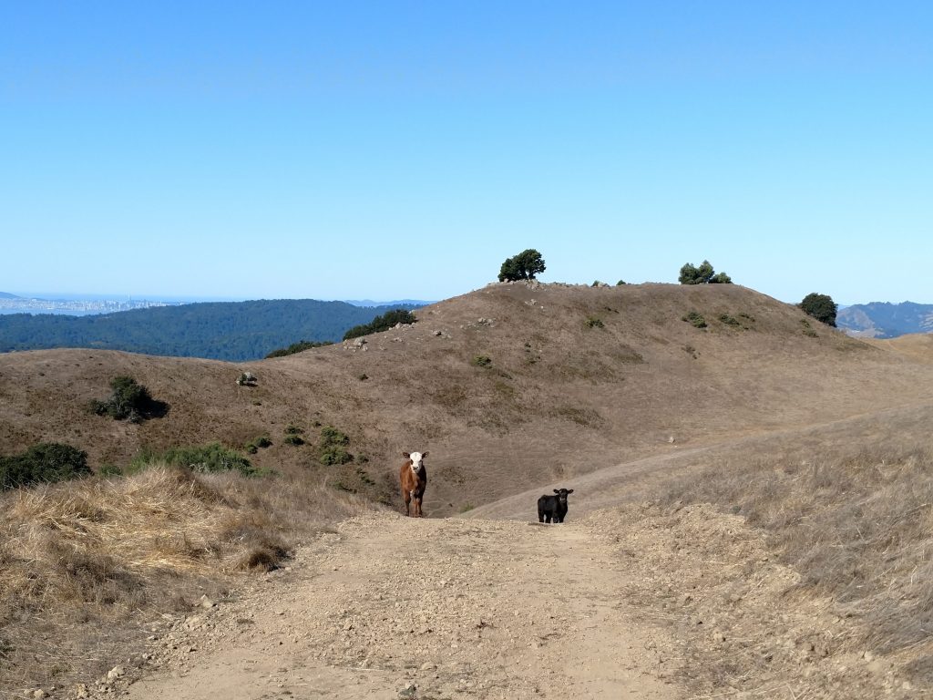
Note as the trail approaches the summit, it parallels a fenceline with a few gates. As long as you're permitted by the EBMUD, you can cross the gate and follow the jeep trail to the summit. There was a small off-trail route to get to the highpoint. Cows were everywhere.

Rocky Ridge Summit to Staging Area
From the summit, a paved road leads Northwest and down to the boundary with Las Trampas Wilderness. It eventually descends all the way back to the staging area at the end of Bollinger Canyon Road. I didn't find this section particularly pretty with the concrete but it was a quick descent down 1 mile to the parking area. I filled up on water here as I'd hiked a total of 4.7 miles at this point.
For those content with just Rocky ridge, simply take the main trail heading Southeast from the Staging area 0.37 miles to Corral Camp and another 1/10th of a mile back to the parking area.

Staging Area to Las Trampas Peak
I chose a climb up Bollinger Creek Loop Trail, departing from the Staging Area and heading Northwest. This trail was somewhat dilapidated but mercifully shaded. After 0.69 miles, the trail links up with a fire road and quickly comes to a fork. I went right at the fork, ascending an extremely steep grade for another 0.44 miles until the road intersected with the Las Trampas Ridge/Calveras Ridge Trail
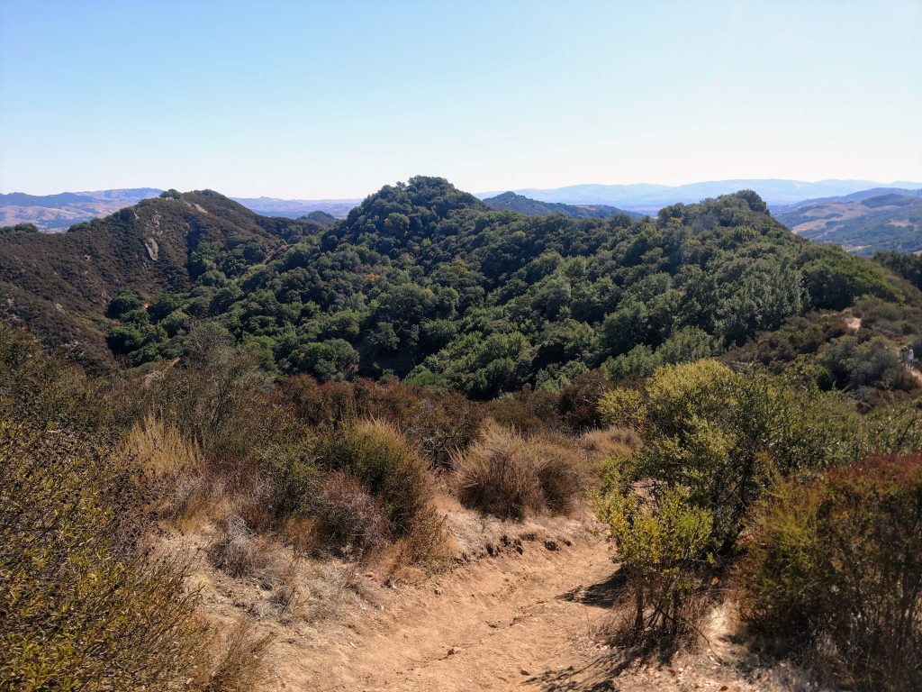
Las Trampas Peak was now just a half a mile away. I took the Las Trampas Ridge trail up and over a few small sub-summits, came to a gate and then followed a heard path to the summit at 1,827'. There were fantastic views of Rocky Ridge, Concord, Mt Diablo, Suisun/Grizzly Bay and Danville. I didn't find a summit register.
Las Trampas Peak to Vail Peak
Two summits down and two to go! Wanting to bag two more peaks on the Bay Area Nifty Ninty list, I continued back the 0.5s miles down the Las Trampas Ridge Trail, stayed left at the intersection and followed this trail 0.72 miles to Vail Peak.
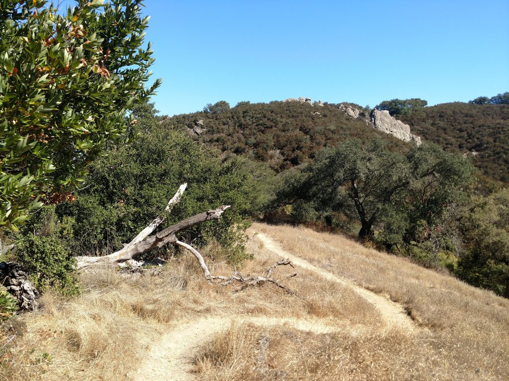
The trail follows a fairly narrow ridgeline with outstanding views. Vail Peak is just before the turnoff for the Corduroy Trail. I achieved the summit with a slight amount of bushwhacking on a rather faint trail departing from near the Corduroy Trail. There were no views or summit register on the top.

Vail Peak to Eagle Peak
These summits are very close to each other, separated by only 0.2 miles and a saddle only 95 feet shorter than the highpoints. Practically identical in altitude and with hardly any topographic prominence, I wondered how they came on the peakbagging list in the first place.
Though humble summits indeed, Eagle Peak had the best views of all. In fact, there was a Boy Scout troop at the summit doing trail work to keep it that way. Mt Diablo's impressive, conical profile rose sharply from the Tri-Valley Area. I'd come back to this place for this summit alone.

Eagle Peak back to Trailhead
It was mostly downhill from here! I crossed back over the saddle, climbed back to the Las Trampas Ridge Trail and followed it along the rigeline for another 0.47 miles. At the next junction, I took Chamise Trail another 0.57 miles back to the road and walked on the pavement back to the car. For a hike that barely breaks 2,000' in altitude, I felt like I'd climbed a bay area Everest.
Next time i'm in Las Trampas, I'd love to complete the Madrone Trail loop and explore more of the Calaveras Ridge Trail. Its certainly a wilderness oasis in an otherwise major metropolitan area!

No Comments