Garin Regional Park and it's neighbor Dry Creek Pioneer Regional Park are two beloved parks of the East Bay and well worth the trip from anywhere in the region.
Towering high above the East Bay are the ridgelines of the Diablo Range. For me, they are tantalizingly close to where I work and live and I take every opportunity I get to explore them.
Garin Regional Park along with the Dry Creek Pioneer Regional Park has plenty of draws for both the causal explorer and serious hiker.
The six mile hike I did was a perfect sampler of everything that makes this place regionally loved. There were open vistas, narrow canyons, historical sites and plenty of opportunities for wildlife viewing.
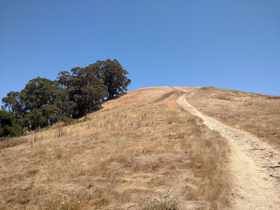
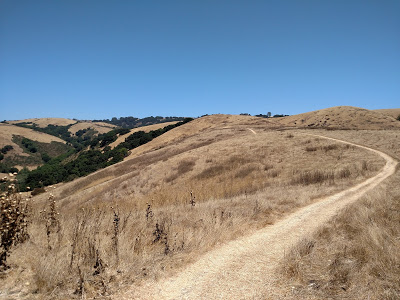
I decided to get all the elevation gain out of the way earlier in the hike and took the high ridge loop trail looming above the picnic area. It was instantly steep! Thankfully the trail rose well above the opposing ridgeline allowing for outstanding views of the bay. After the first 0.5 miles, the trail goes from strenuously steep to modestly steep. Most of your elevation gain save for various ups and downs is done within the first 1.25 miles.
I think most are intimidated by the steep trail above the parking area so I didn’t run into any other hikers on the magnificent ridgeline! It’s a great spot t take it a little slower and appreciate the scenery
 |
| Steep at first, becoming more pleasant |
Pioneer Park is an appropriate name for this area. Even though Silicon Valley, San Francisco and most of the East Bay can be seen from the ridgeline trail, there’s plenty of evidence that this area is an active ranchland. I believe the cattle of the park are not exactly a commercial venture but you’ll certainly feel like you’ve stepped back in time on these trails.
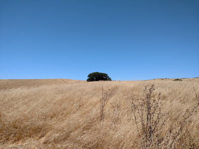
The High Ridge Trail intersects with the brief loop around Gossip Rock. I discovered that Gossip Rock is not a peak or highpoint but it is a curiosity in an otherwise open savannah. The rocks create an oasis of trees overlooking the bay which is a pretty sight. The trail loops around the edge of the park boundary and has views of the more prominent summits of Mount Allison and Mission Peak.
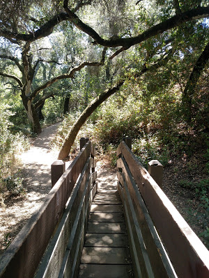
Back on the main trail after the loop, the trail takes a steep descent before arriving at the intersection with the Pioneer Trail. I wasn't expecting much from this trail but was pleasantly surprised at how narrow and lus its canyon was. Like the previous Trails, I encountered no other hikers and had excellent solitude. Two steep ridgelines sheltered the bottom of the canyon from any outside noise other than that of the wildlife!
The trail does rise up over a saddle, adding to the total altitude of the hike, although this elevation gain is comparatively gentle. On the other side it runs through another Canyon before intersecting with a spiderweb of trails which eventually lead back to the parking area.
If you follow the map, it is easy to find your way back.
 |
| Gossip Rock |
In the end, the distance was 6 miles exactly with roughly 1,000 ft of elevation gain. Although very steep at the beginning, the effort is rewarded greatly. I'm sure I'll come out here again, soon!


No Comments