


After climbing Mount Massive the day before, I continued with my 14er mania with a climb of Mt Yale in October. I had pretty good weather for Greys/Torreys and the DeCaLiBron Loop. I had clouds and a tiny dusting of snow the day before. Mt Yale would be my last 14er of this trip given the weather quickly transitioning to early winter. Hence, I did the standard route, Southwest Slopes to the summit. It was overall straightforward but wanted to post my trip report and notes for other late-season hikers.
Trailhead and Overview
This is one of the easiest trailheads of all 14ers to get to. Denny Creek is right off County Road 306 on the way to Cottonwood Pass. Its a paved road and Denny Creek is often open through the winter. Hence, Mt Yale is one of the more accessible late/early season climbs or winter options. The parking lot is huge and has a pit toilet available. There was no fee for parking or entering the wilderness.
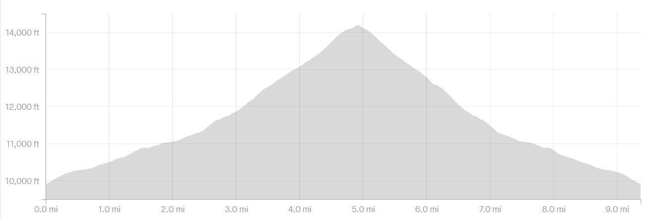
The hike itself is a mostly Class I with Class II in the last 400' below the summit. Its generally easy in the realm of 14er hikes. The route I took is known as the Southwest Slopes Route. Its an out-and-back 9.5 mile hike with 4,300' of gain. Experienced hikers do it in about 1/2 - 3/4ths of a day. New 14er hikers should expect a whole day. Here's my map
Mount Yale in October Trip Report
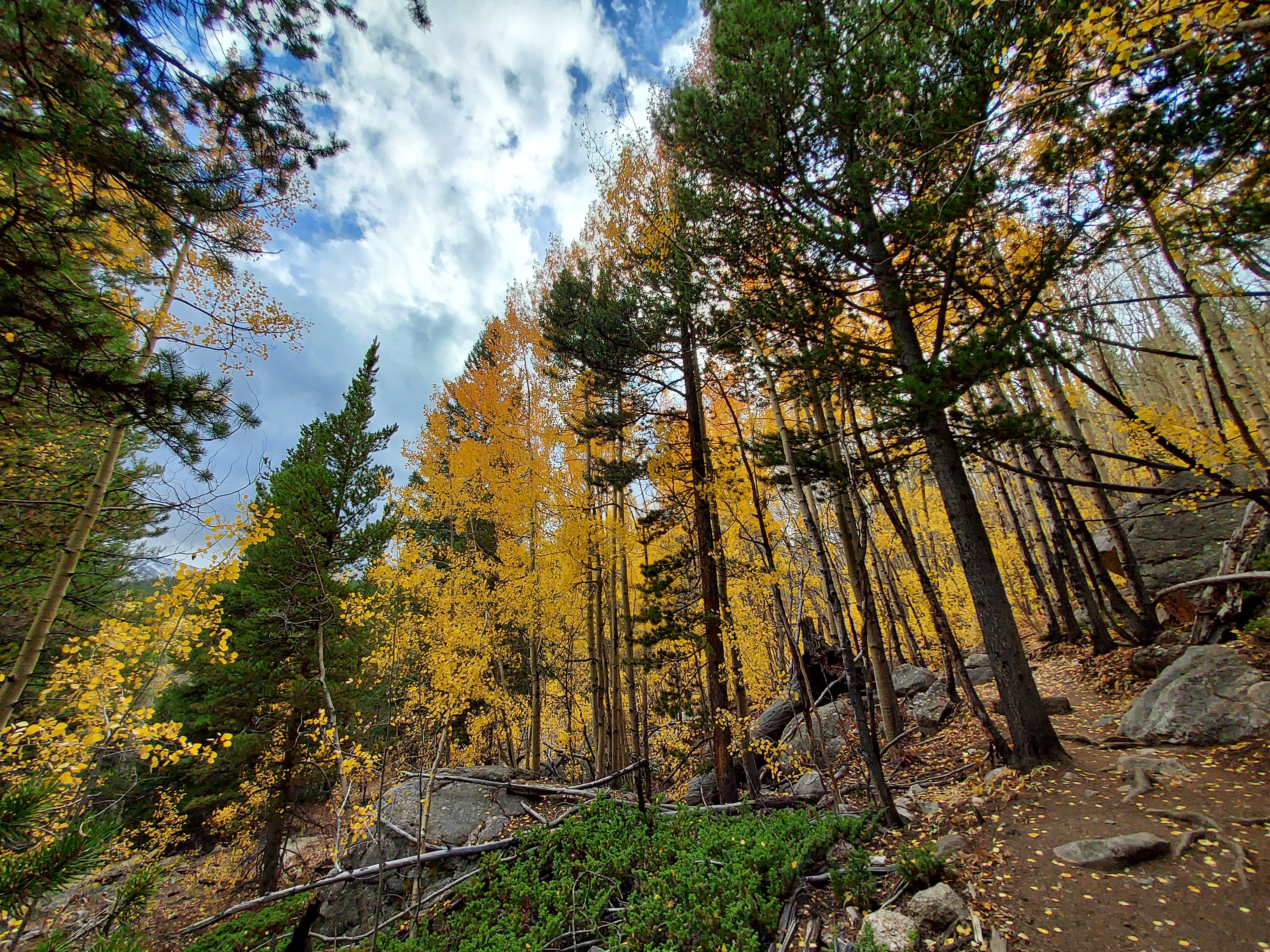
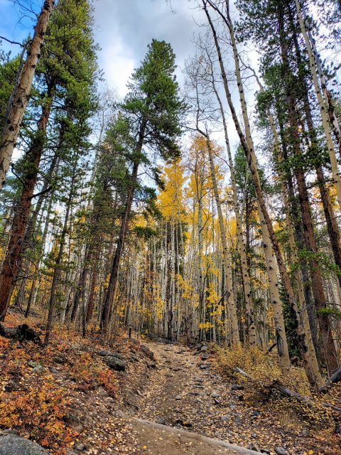
There were patches of snow on the ground at Denny Creek Trailhead, at 9,900' of altitude. The first 1.3 miles of hiking was a pleasant forest walk with about 800' of gain. The trail reaches its only junction with the Hartenstein Lake Trail going off to the left. I took the obvious right and continued up Mount Yale.
The next 2.9 miles and 1,400' of gain from the junction to tree line were increasingly steep. The trail mostly follows the creek until taking a large bend away from the summit before resuming its generally northeastern course. Brief bursts of snow punctuated this section. Past 12,200' (3.2 miles from trailhead), the landscape was completely treeless
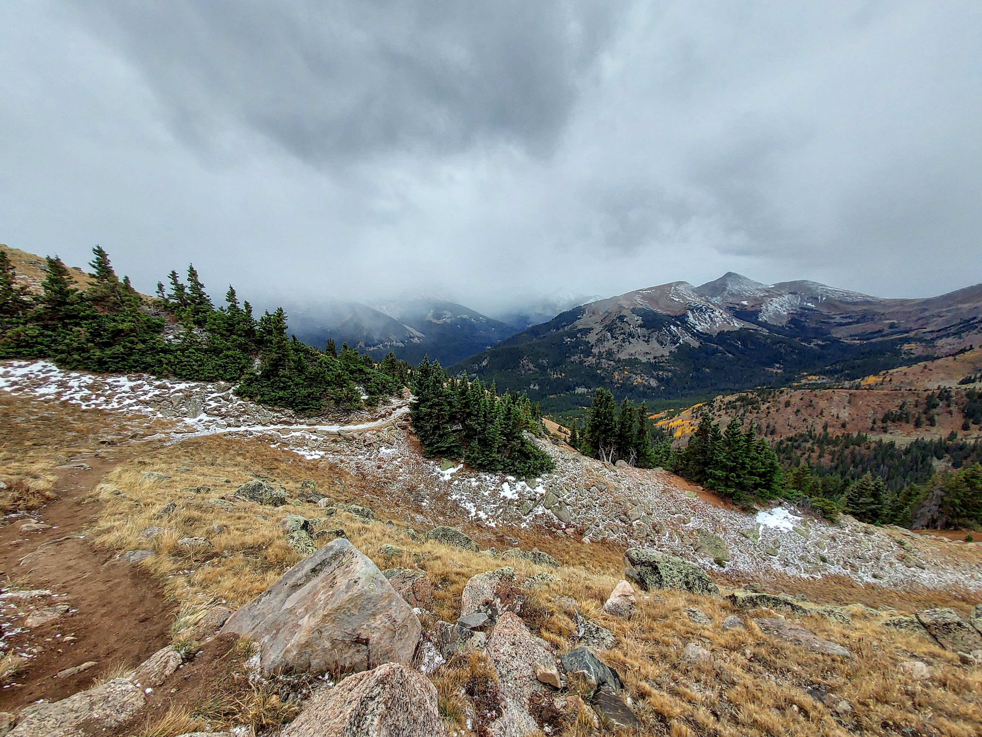
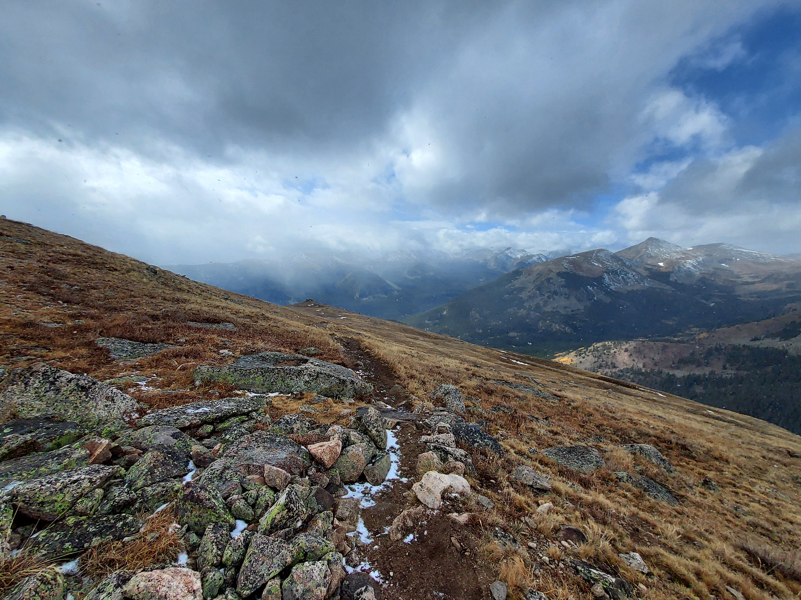
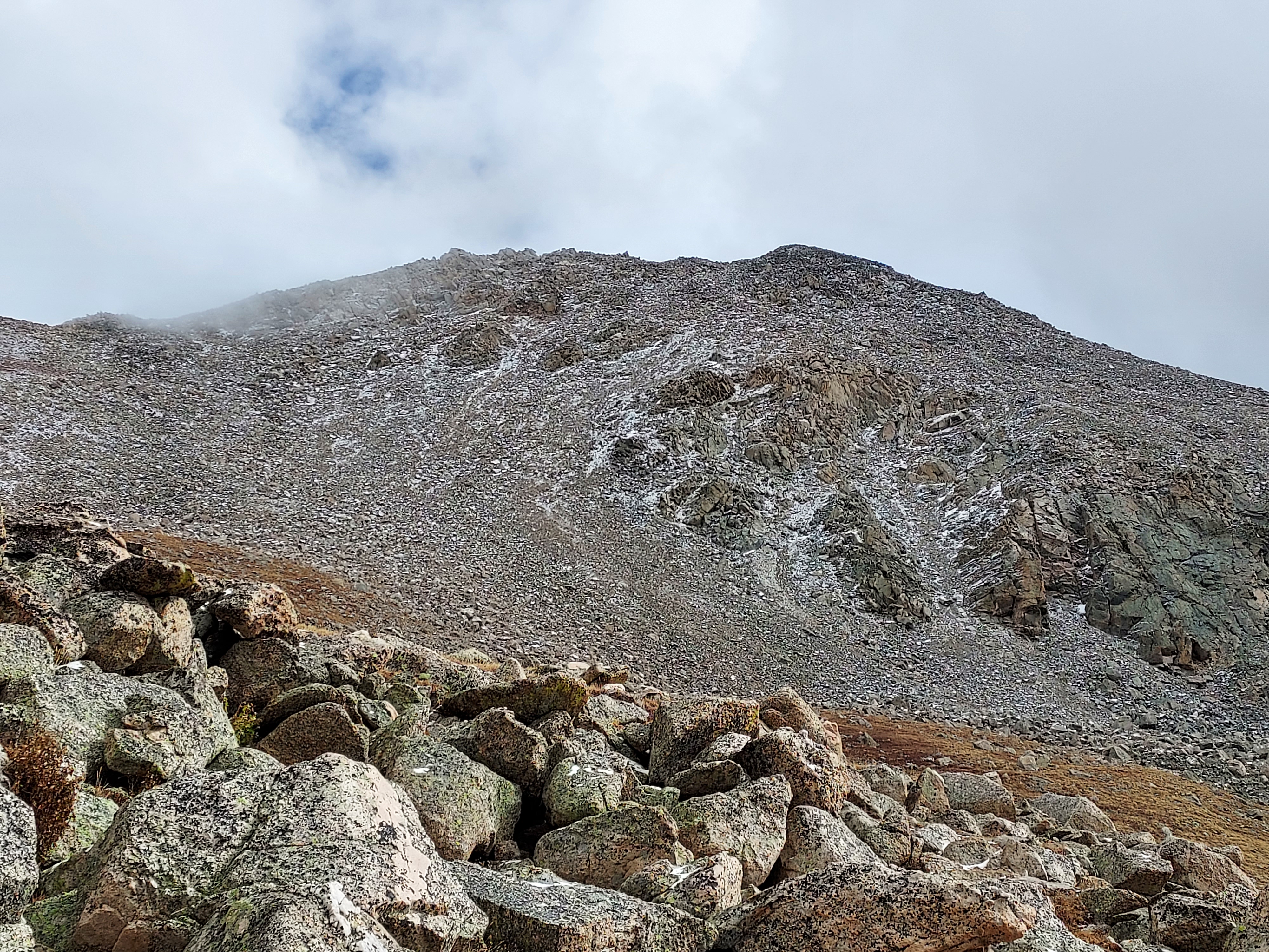
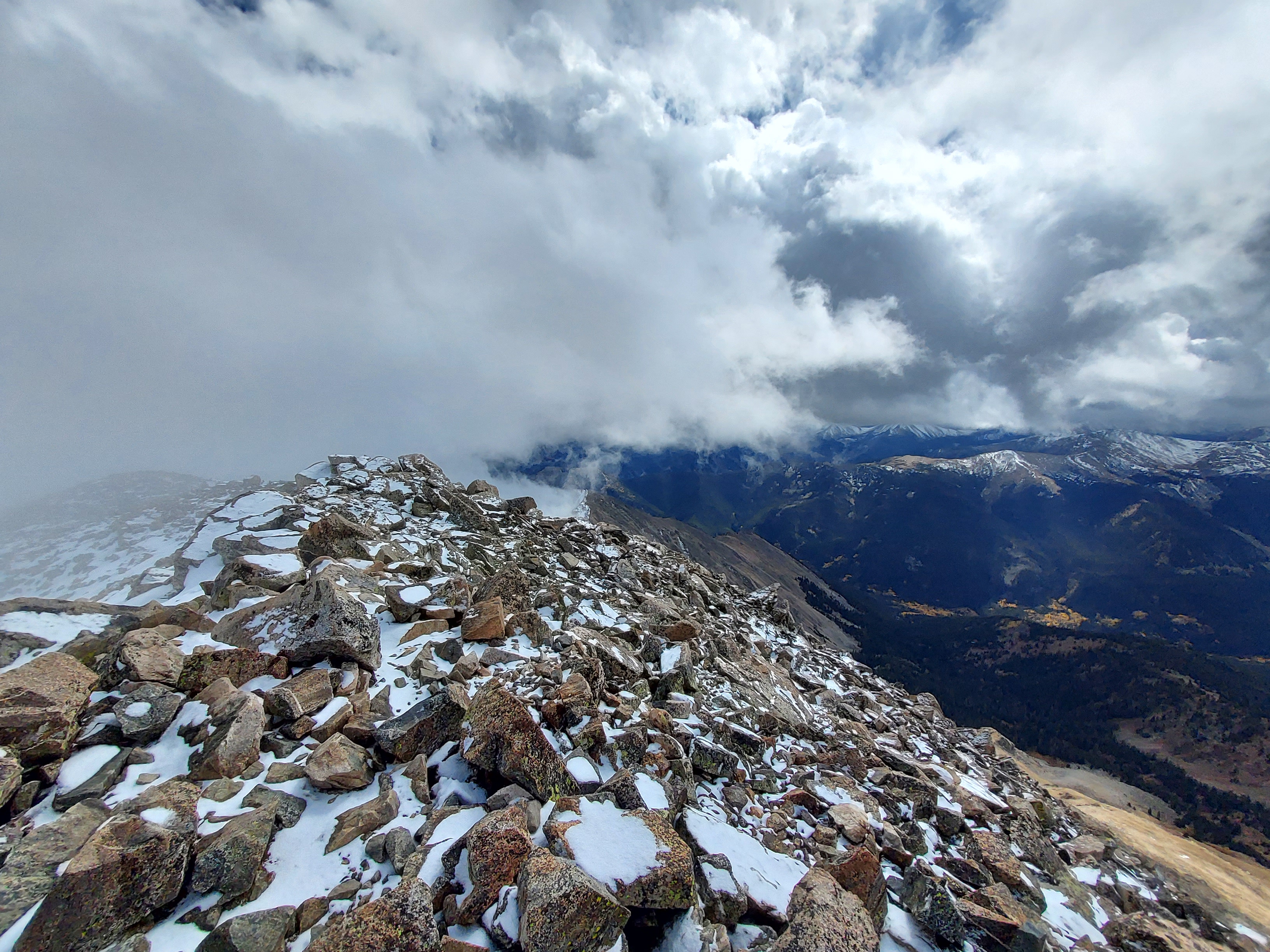
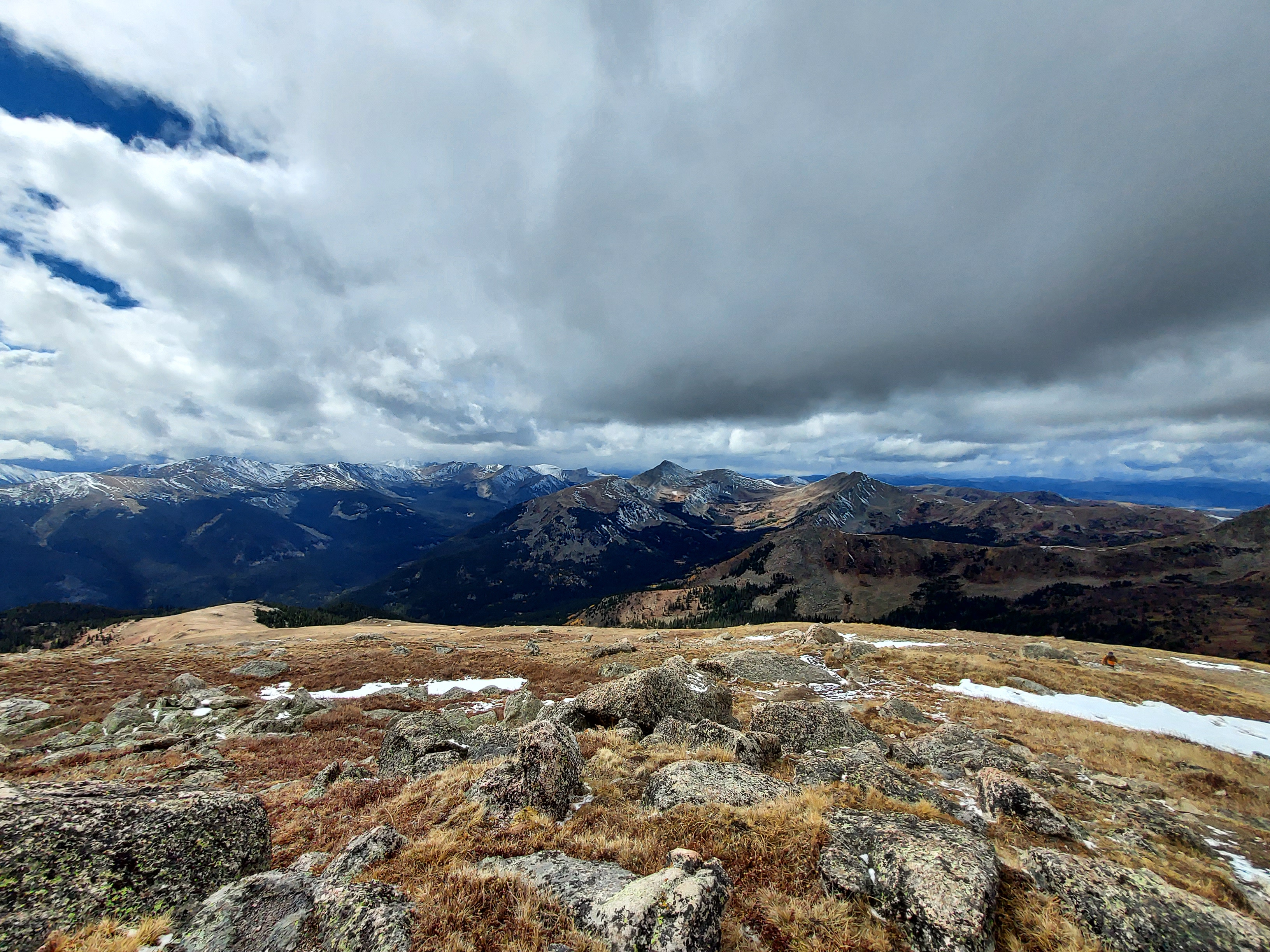
For the next 1.4 miles between treeline and ridgeline, the trail was relentlessly steep. Thankfully there were some pretty epic views of the southern Collegiates. Snow was on and off but I never felt the need for traction. Eventually I gained the ridgeline, slightly below 14,000' and 4.6 miles from the trailhead.
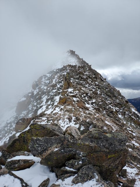
The final 200' to the summit took much longer than expected. The ridgeline has lots of minor bumps and false summits along the way. Occasionally I followed a few cairns here and there. In general, I kept just to the south of the ridgeline and eventually made the summit.
Once on top, I took a few minutes to take in the views. Threatening weather and distant snow squalls made for a very short celebration. I began descending, following the trail more easily back down the ridgeline. I descended back to treeline as quickly as possible, getting down just before some thundersnow.
I made it back to the trailhead in about 7 hours with plenty of daylight left to spare. Overall this was a fantastic hike and I'd like to try it in the winter. The next day I tried in vain to hike Mt Antero but by that time there was full on winter weather, preventing me from doing a 10th 14er on this trip. Instead I headed out to Utah to see the eclipse.

No Comments