


I'm covering my annual fall road trip which included Colorado this year. The goal of the trip was to climb as many 14ers as possible. Several summits had been on my list for at least a decade. I've already written about my DeCaLiBron Loop but that was actually from day 2. On my first day, I hiked Greys and Torreys Peak in October which ended up perfect. There's already lots of information online about these summits, hence I'll provide my own impressions and trip report.
Regarding the road
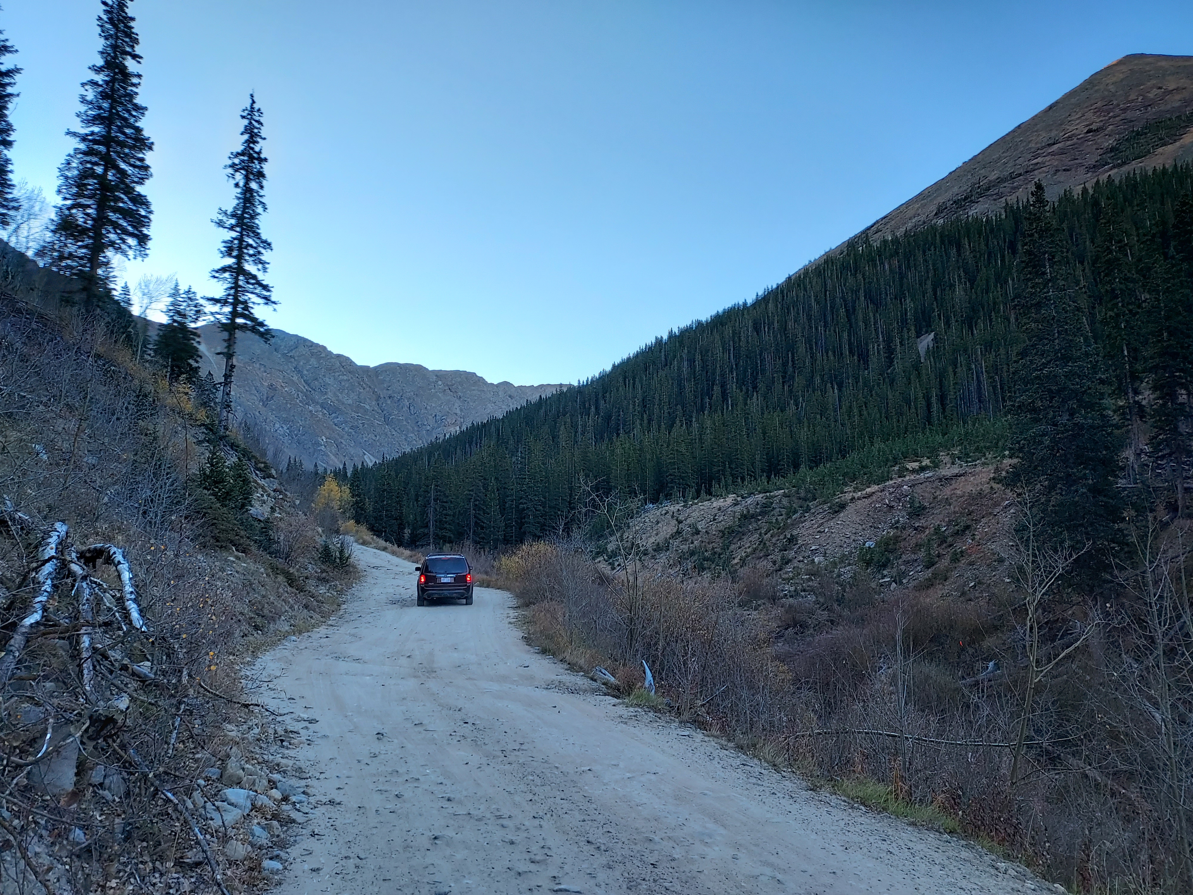
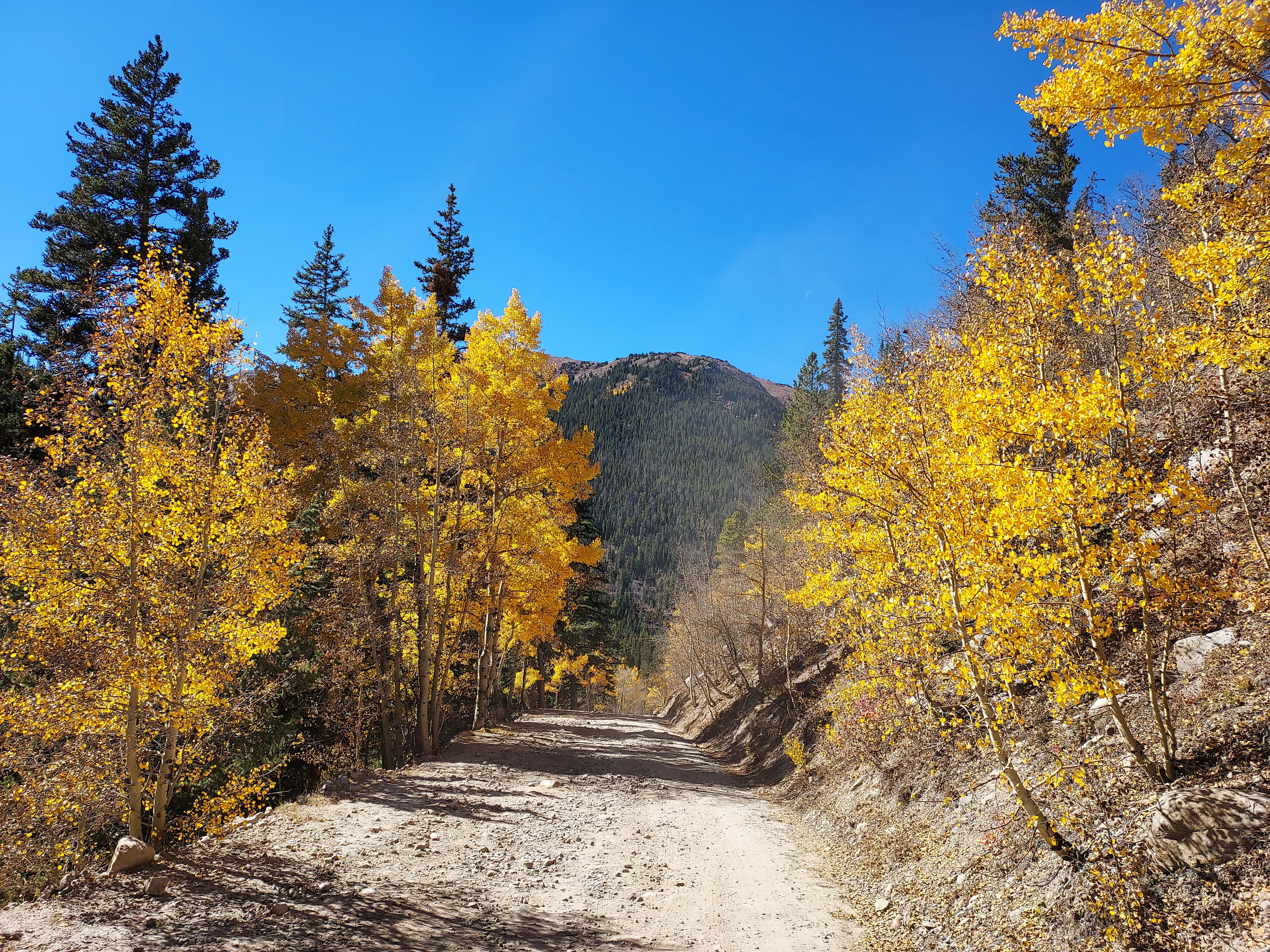
Grays Peak and Torreys Peak are almost universally accessed via Stevens Gulch Road just of Interstate 70 at exit 221. Its about an hour's drive without traffic from Denver. In the winter or with any cautious drivers, you park at the winter trailhead at about 9,800'. Starting here adds 6 miles and 1,500' of gain to the whole affair. Driving a rental car, this is where I expected to park. However the road was in good shape for the first mile to the junction with Grizzly Gulch road. This served as my trailhead. There's space for probably 6-8 cars. If you have low clearance, a sedan or something like it, I recommend parking here. The next two miles of the road seemed passable by standard SUVs, Subarus and the like. However I wouldn't have taken the road in anything else. I did not notice any low clearance vehicles parked at the actual trailhead, however busy it was.
Overview of My Route
I followed the standard route up Grays and Torreys Peak. This is a class I route that is steep and demanding though straightforward from a routefinding standpoint. From where I parked, the hike was approximately 13.7 miles with 4,450' of gain. To be sure, I accepted a short ride from a generous couple for the last 1/2 a mile of the road walk (which I didn't mind - rather not waste time walking a road that can be driven). It took me about 7 hours to do them both.
As far as gear goes, I brought microspikes but didn't use them. I didn't bring an ice axe nor would it have been helpful. October is unpredictable so I packed heavily but I didn't bring anything unusual beyond the 10 essentials.
Here's my route-
Grays Peak and Torreys Peak October Trip Report
Trailhead to Grays Peak
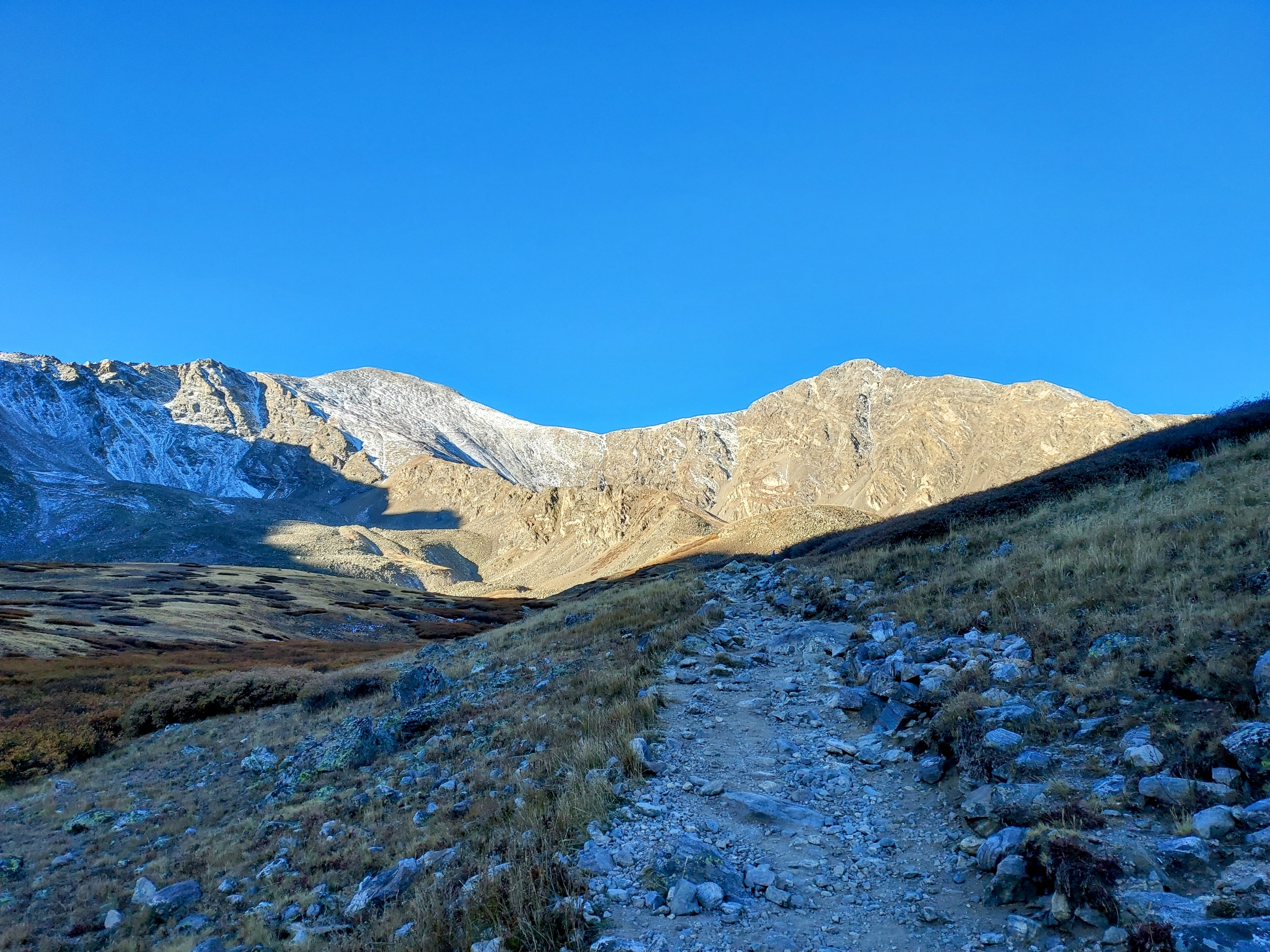
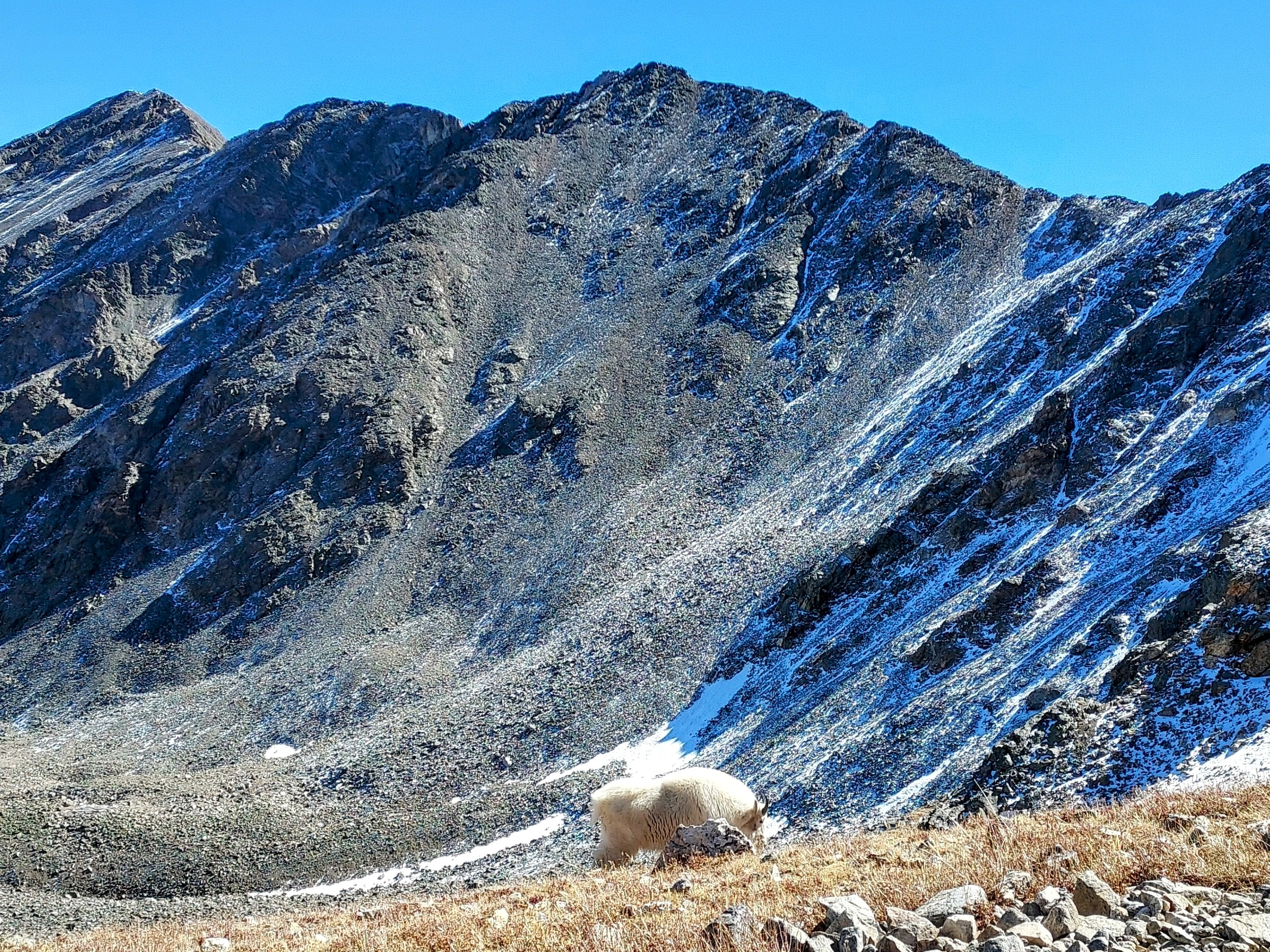
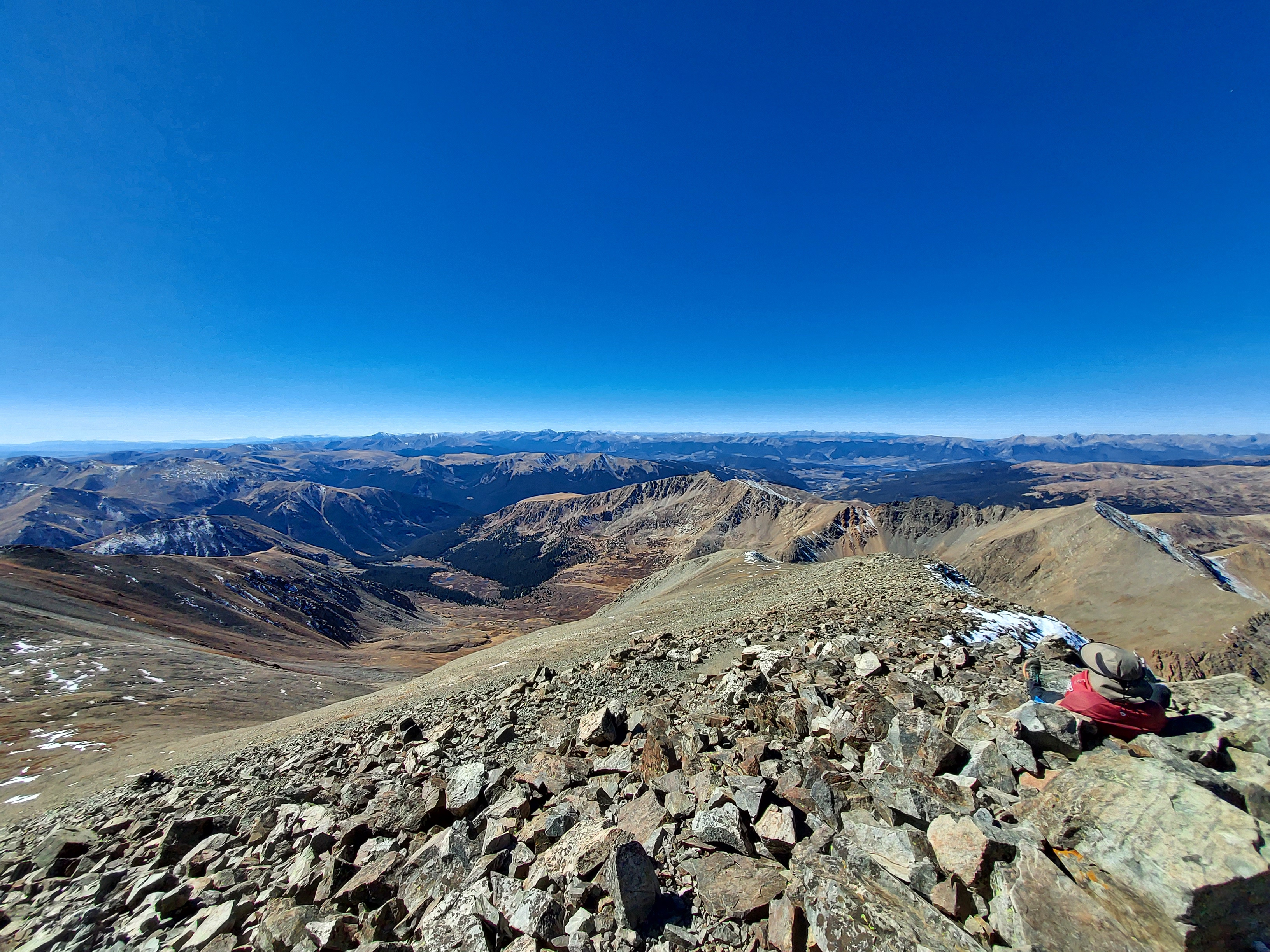
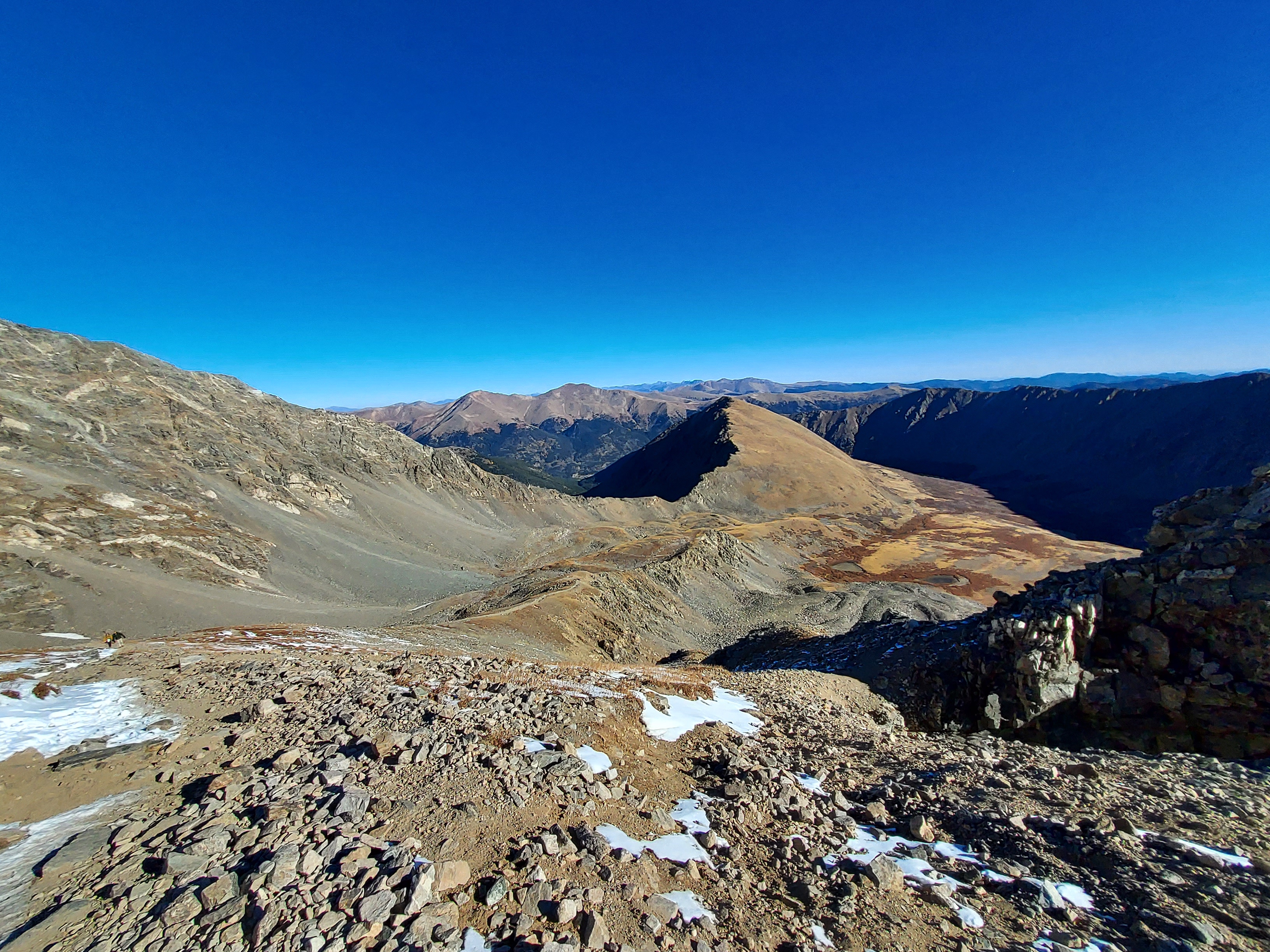
Starting at about 10,350', I walked most of the first 2 miles from where I parked to the actual trailhead. A kind couple gave me a ride up the last 1/2 a mile. From there (~11,200'), I found the well marked, well-trodden trail and began the climb. Given the altitude, there's no trees and very little flora for much of the route. In October, the morning temperatures were quite frigid and the north facing slopes of the mountain meant no sunlight until around 10am. I steadily gained altitude; the trail wasn't too rough nor intense. Around 12,500 I ran into a herd of mountain goats which was marvelous. Although, I later discovered mountain goats are technically an invasive species in Colorado.
The altitude began to hit me around 13,000' leading to frequent stops and short breaks. The route up Grays Peak becomes considerably steeper with the last 1,000' of vertical. At 13,300' or approximately 5.2 miles from my start, I ran into the obvious trail junction for Grays and Torreys Peak. Deciding to bag Grays first (seeing as it is the highest point on the Continental Divide), I went to the left. The trail zig-zags its way up the final stretch to the obvious summit. I hiked 6.2 miles from the place I parked to Grays Peak.
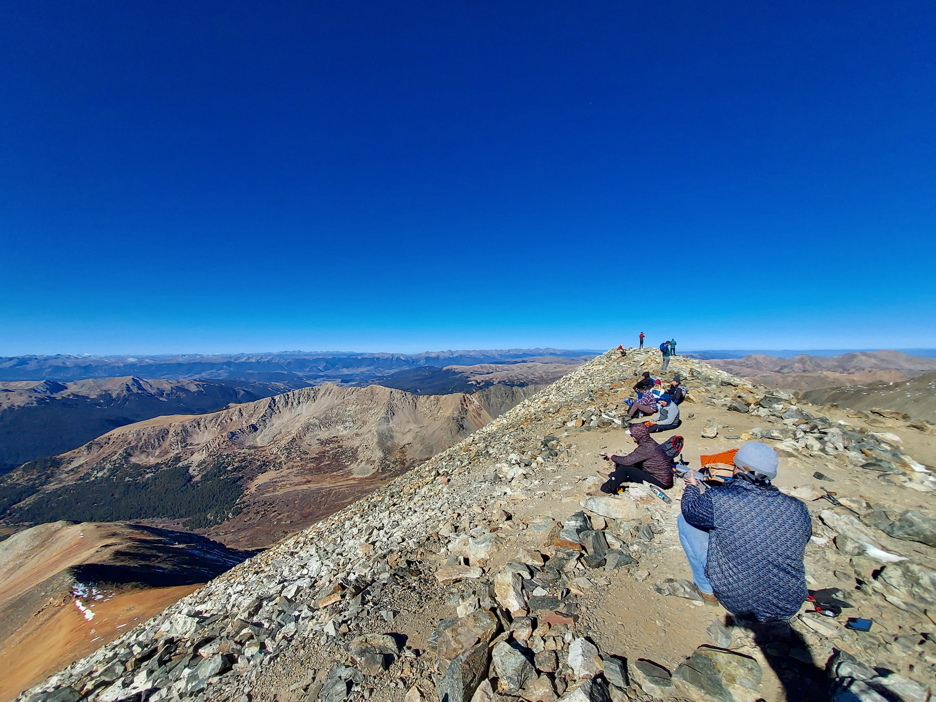
Once on top, the views were extraordinary. On a clear, crisp fall day, I could see much of the Front Range including Pikes Peak, Mt Blue Sky, Bierstadt and many others. The Mosquito Range and Tenmile Range were also very apparent. I'm confident I could see many of the 14ers in the more distant Sawatch Range. Of course, I shared this view with throngs of people - this summit is not for solitude seekers
Grays Peak to Torreys Peak
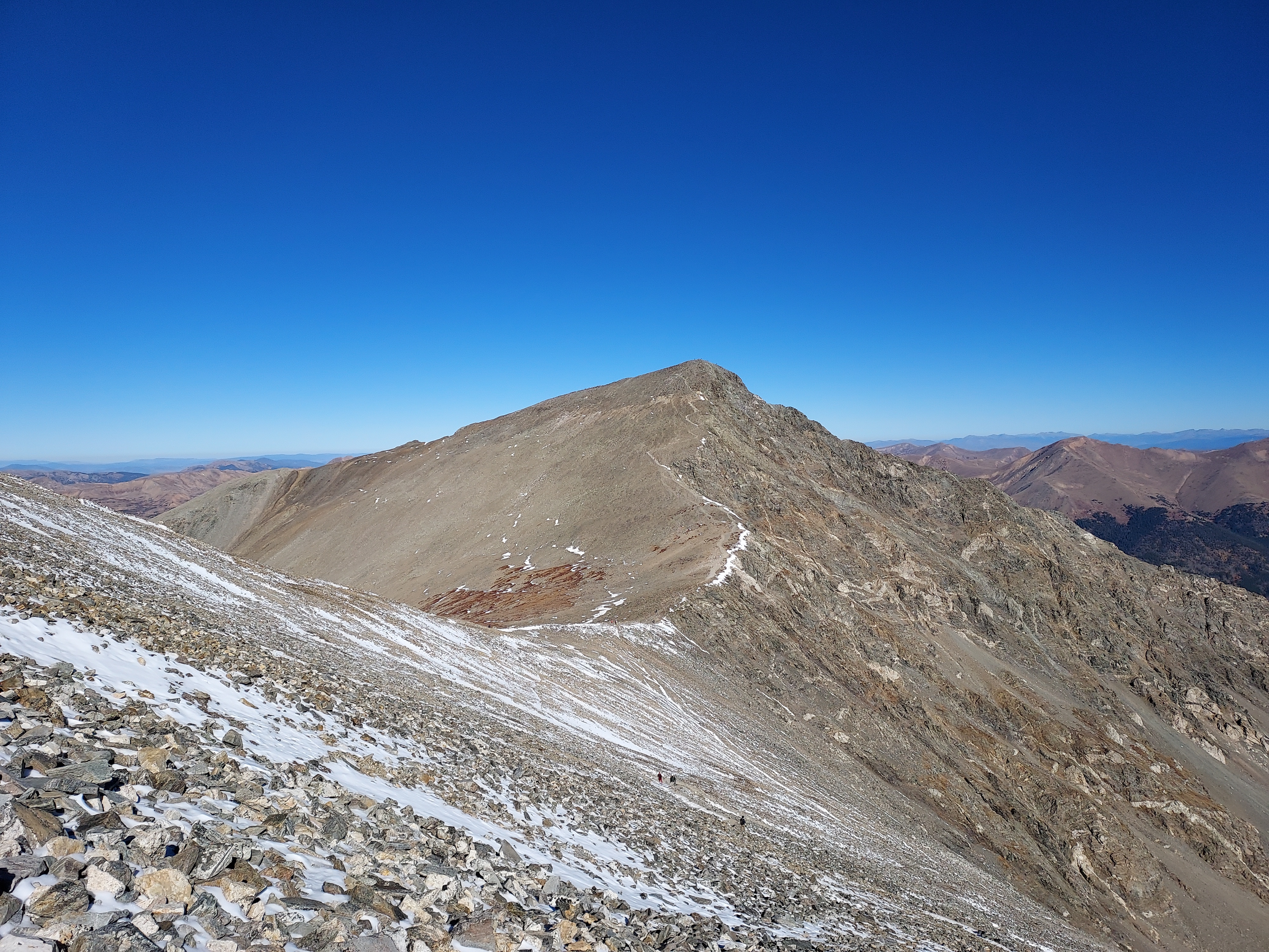
On paper the traverse from Grays Peak to Torreys Peak seems simple enough- its less than 1 mile with about 500' of loss and gain. At altitude, that feels like starting over.
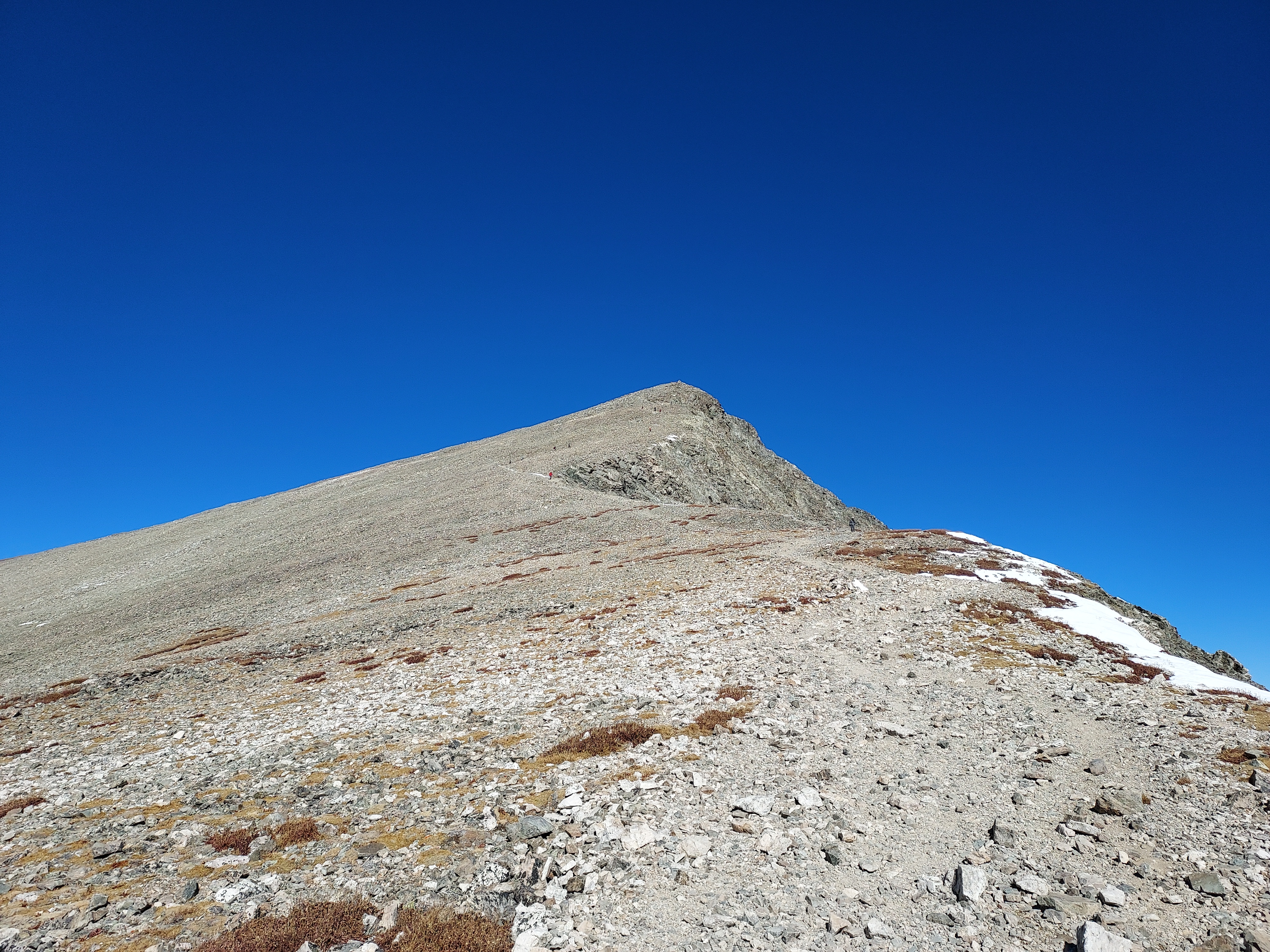
From the summit of Grays, I found an obvious path heading down the ridgeline to the saddle between the two summits. It was steep but not a scramble. The saddle was at roughly 13,700' of altitude. The steepest terrain of the entire affair was the climb from saddle to summit of Torreys Peak. There were a few easily avoided sections of snow. However the going was quite slow anyways. I felt like I was taking moments to catch my breath every 10 steps. So much for acclimating.
I reached the welcome summit of Torreys Peak about an hour after tagging Grays Peak. This summit had equally excellent views and slightly less people. I stopped and had lunch.
Descent from Torreys
There wasn't much to say about the way back. After dropping back down to the saddle, I found the connector trail and made it back to the original junction. It was smooth sailing from there. In the afternoon, sunlight covered the valley so the temperatures became more moderate. I made it back to the actual trailhead about 7 hours after starting then hustled back down the road to where I parked.
Overall, I found hiking Grays Peak and Torreys Peak in October was delightful. Even on a Sunday with perfect weather, it wasn't too congested except at the summits. Plus, I never had a hint of thunderstorms. Maybe this is the perfect time of year for 14ers...

No Comments