


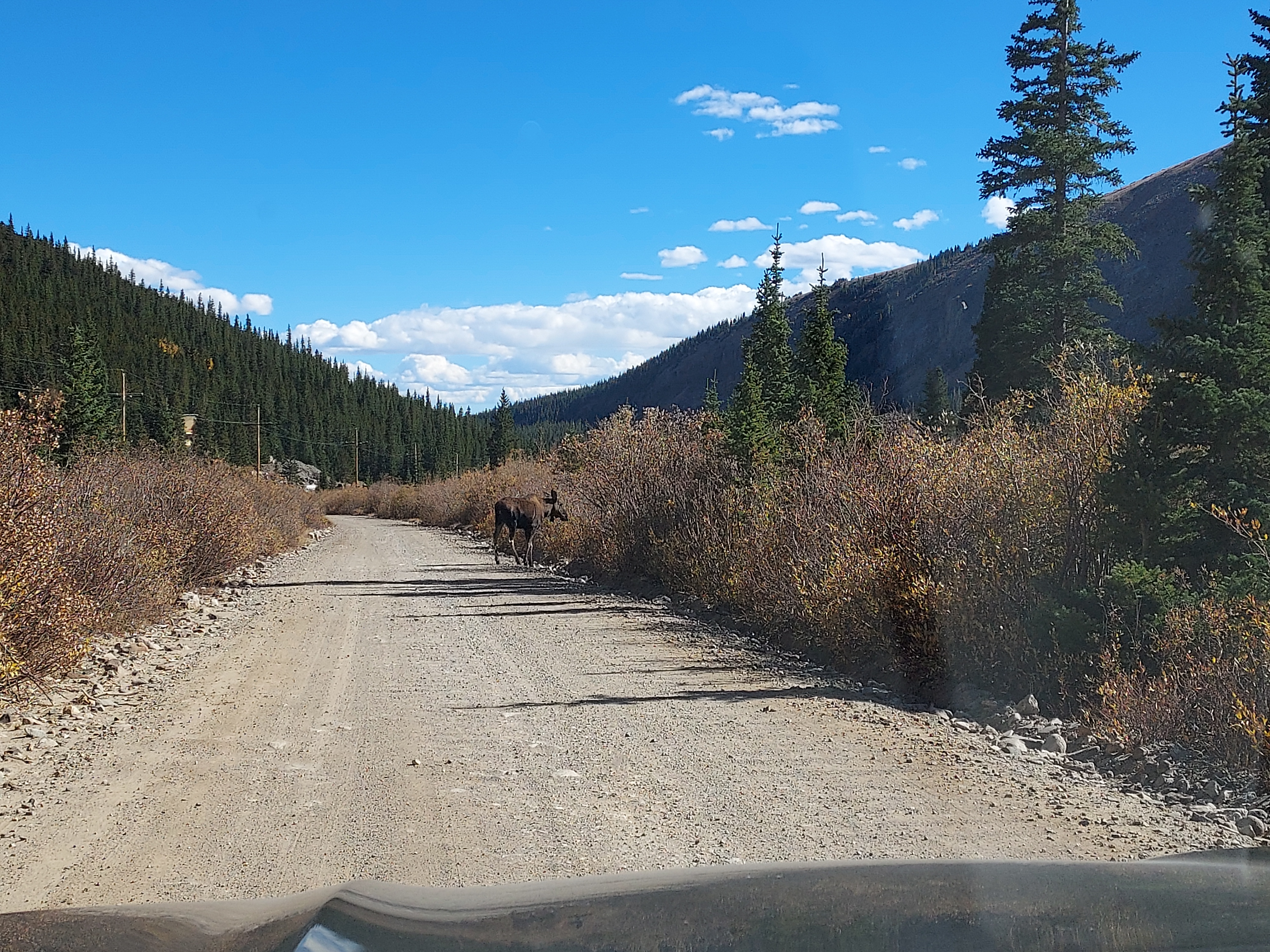
Finally I have some new content for the website! In early October 2023, I took a grand road trip around Colorado with the express goal of climbing as many 14ers as I could. The trip was even more successful than I originally planned and I got to do a bunch of very classic hikes. One of the highlights of the trip was the famous DeCaLiBron Loop which includes four 14ers. I did an October DeCaLiBron Loop which is considered late season. However I had perfect conditions. So much has been already written about this loop that I will mainly focus on my trip report and field notes for any interested parties.
DeCaLiBron Loop in October: Overview and Considerations
"The DeCaLiBron Loop is a highly popular 14er hike in the state, but it's somewhat controversial for several reasons. The primary concern is that all four peaks on the loop are situated on private property with active mining claims. Notably, Mt. Lincoln, standing at 14,286 feet, is arguably the highest point on privately owned land. The major issue for landowners is the potential liability associated with hikers on their property. Additionally, the summits are dotted with numerous abandoned mines, posing certain risks (although these can be easily avoided by refraining from entering them).
This situation has been further complicated by a landmark legal case making landowners even more cautious about allowing the use of well-established social trails on their property. Fortunately, thanks to extraordinary efforts from local advocates and the town of Alma, the loop has recently reopened albeit Mt Bross still has no legally permitted access. Before embarking, you must sign a waiver releasing liability and noting your dates. Also, there's no cell phone reception near the trailhead so make sure you do it well before starting.
The additional sources of controversy are of lesser concern to the average hiker. Among the four peaks featured in the loop, only Mt. Lincoln and Mt. Democrat are unequivocally recognized as 14ers. However, the status of the other two, Mt. Bross and Mt. Cameron, as 14ers is subject to debate due to the presence of high saddles and low prominence that separate them from their parent peaks. Mt. Bross narrowly misses the 300-foot threshold of prominence required to be considered a peak, while Mt. Cameron, with only 118 feet of prominence, is firmly classified as a sub-peak. These two mountains are included in 14er lists primarily due to tradition and custom rather than adhering to strict definitions of summits.
Common Questions about the DeCaLiBron Loop in October
I anxiously scoured the internet including 14ers.com, alltrails.com, peakbagger.com and various blogsites before hiking this loop. Having completed it, here's my perspective to the most pressing questions:
- Is the DeCaLiBron Loop in October Hard? Yes it is difficult. Its technically only 7.0 miles from the Kite Lake Trailhead but there's 3,300' of gain all at altitude. By any measure, it is challenging, even for experienced hikers
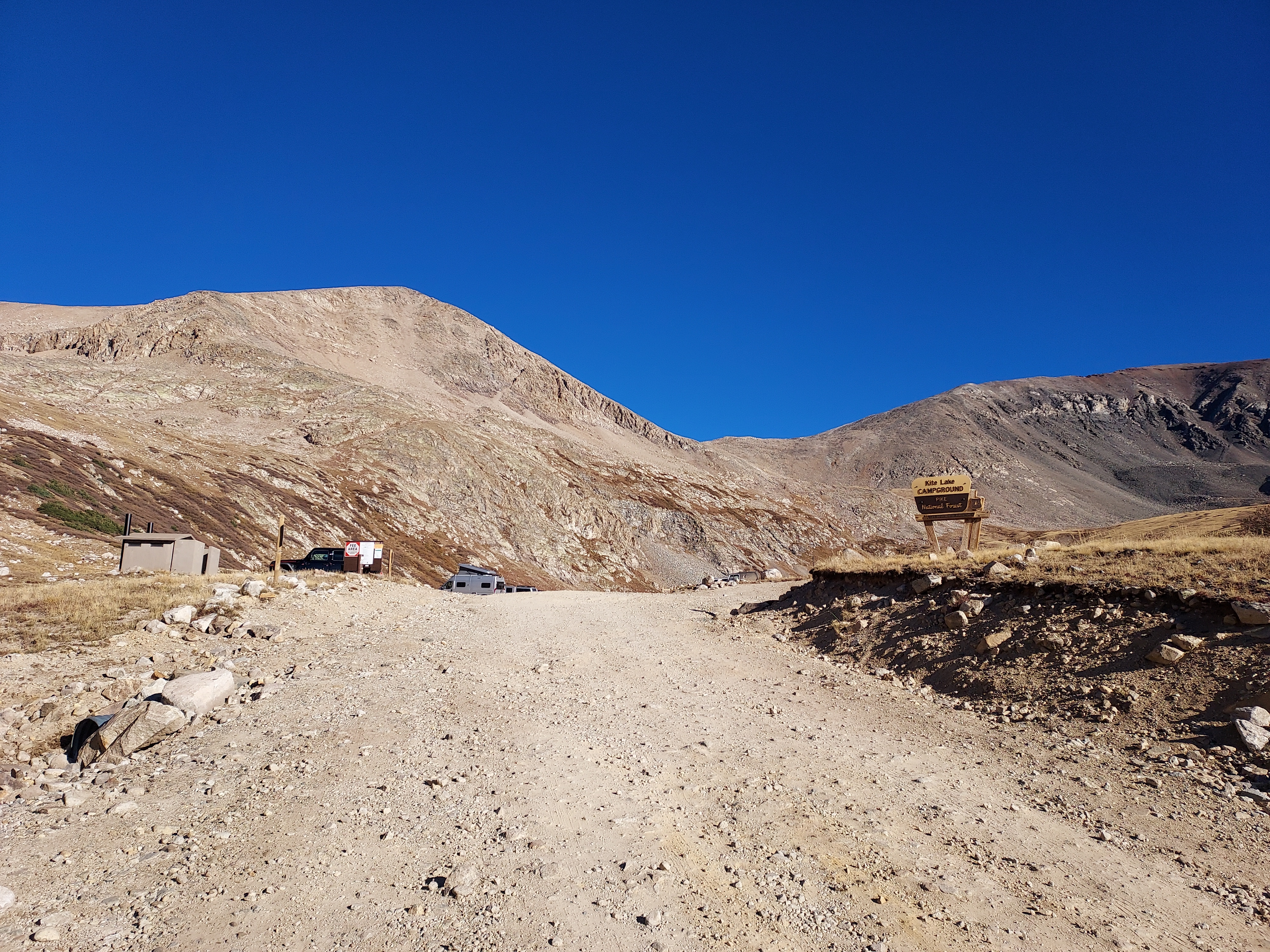
- How hard is it to get to the trailhead? As of October 2023, the road was in much better shape than anticipated. I found the 5.5 miles from Alma to the trailhead mostly well graded. As the road approaches Kite Lake, its gets rockier, bumpier and steeper. But I could imagine getting a sedan up most of the way. Here would have been a fine place to park for the more cautious.
- Is any special gear required? This depends on the exact conditions of the time hiking. However it is class II at the most. Hiking poles were helpful. There were patches of snow when I climbed but I didn't need traction such as microspikes. Unless the conditions were winter, I don't believe an ice axe would be necessary
- Clockwise or Counter-clockwise? Honestly it doesn't matter. Going clockwise has the advantage of doing the up and down of Mt Democrat, the hardest summit of the bunch. Going counter-clockwise has the advantage of avoiding the knee-hammering downclimbing of Mt Bross. I ended up doing counter-clockwise.
- Is the hike as great as it is advertised? Abso-freaking-lutely. This was one of the best hikes I've done in Colorado and I've hiked all across the state. It lives up to its well deserve reputation.
DeCaLiBron Loop - October Trip Report
Kite Lake to Mt Bross
As usual, I got a much later start than what most hardcore climbers do. I parked just below the Kite Lake trailhead and started hiking at around 9:00am. Once at Kite Lake, I debated on which direction to go - clockwise or counter-clockwise. Ultimately I chose the latter- wanting to avoid the grueling downclimb of Mt Bross. At this hour of the morning, the climb up Mt Bross was entirely in the shade, meaning it was much colder than the ambient temperatures closer to the lake. It was a Stairmaster going up this summit, as anticipated. However the views remained extraordinary the entire way. The trail gains 2,000' over 1.5 miles between Kite Lake and the cut-off trail of Mt Bross.

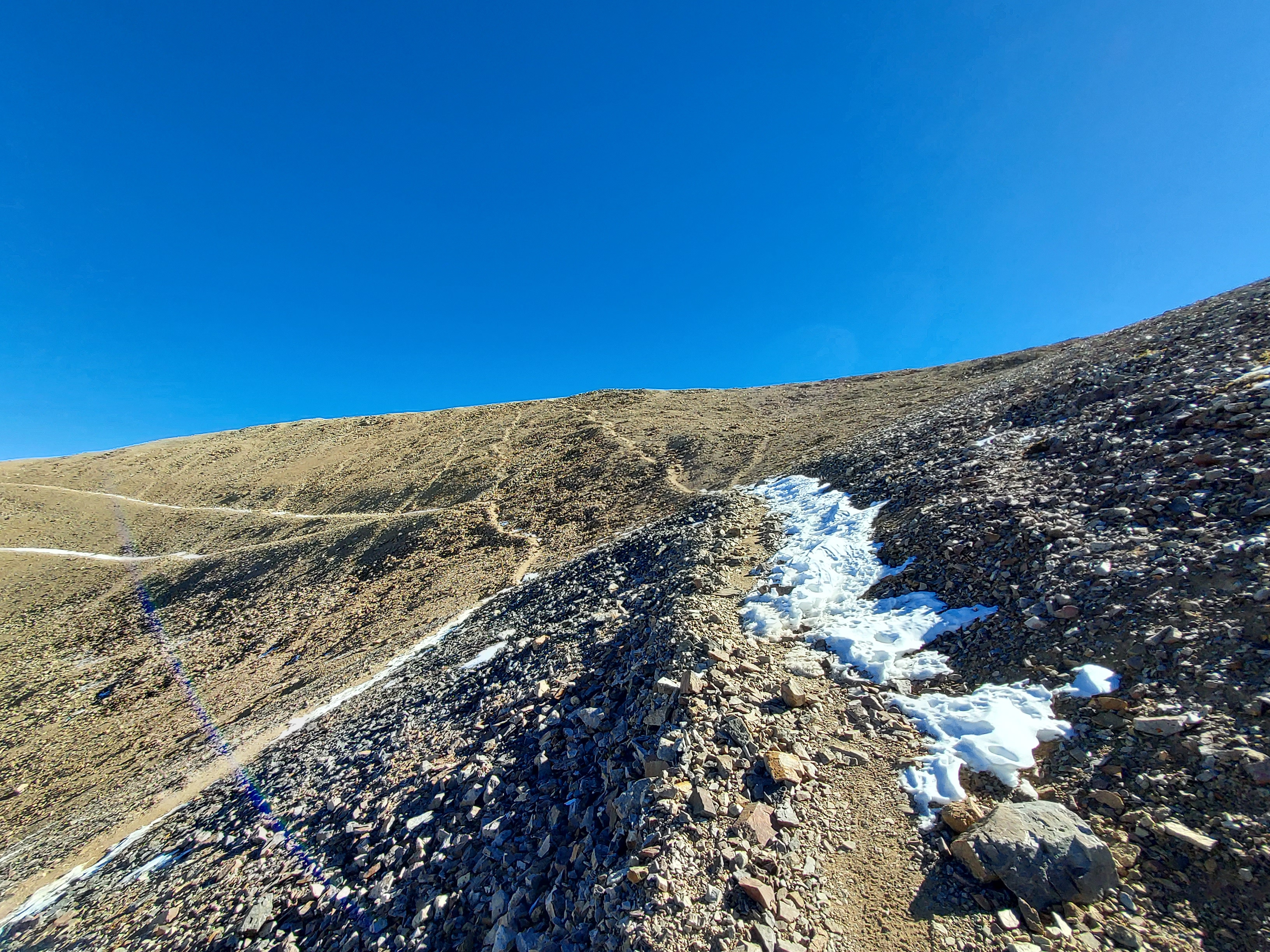
As the trail nears the broad, indistinct summit of Mt. Bross, it veers left toward Mt. Cameron. There are signs indicating private land boundaries. Regarding the ascent of Mt. Bross, there are varying opinions. Some strongly stress the importance of respecting private land and discourage sneaking up Mt. Bross to avoid jeopardizing access further; this viewpoint should be taken seriously. However, some hikers believe these warnings primarily exist to limit liability when people inevitably ignore the signs and climb Mt. Bross. In any case, Mt. Bross's 14er status is less certain than Mt. Lincoln's, so I chose to focus on hiking Mt. Lincoln.
Mt Bross to Mt Lincoln
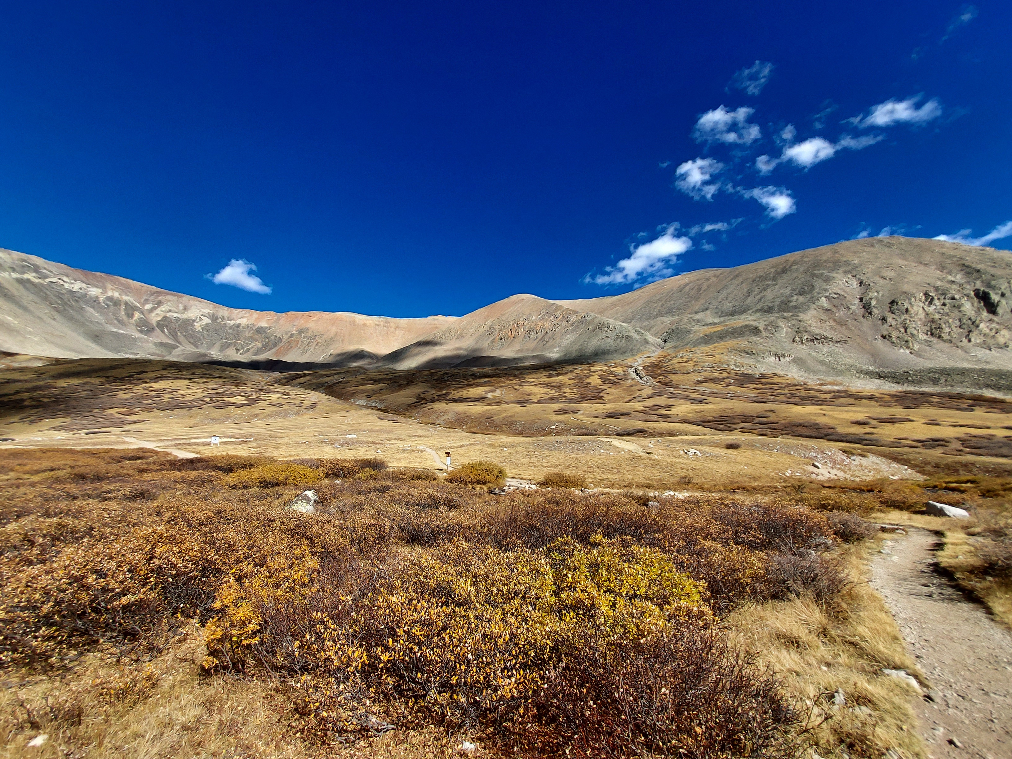
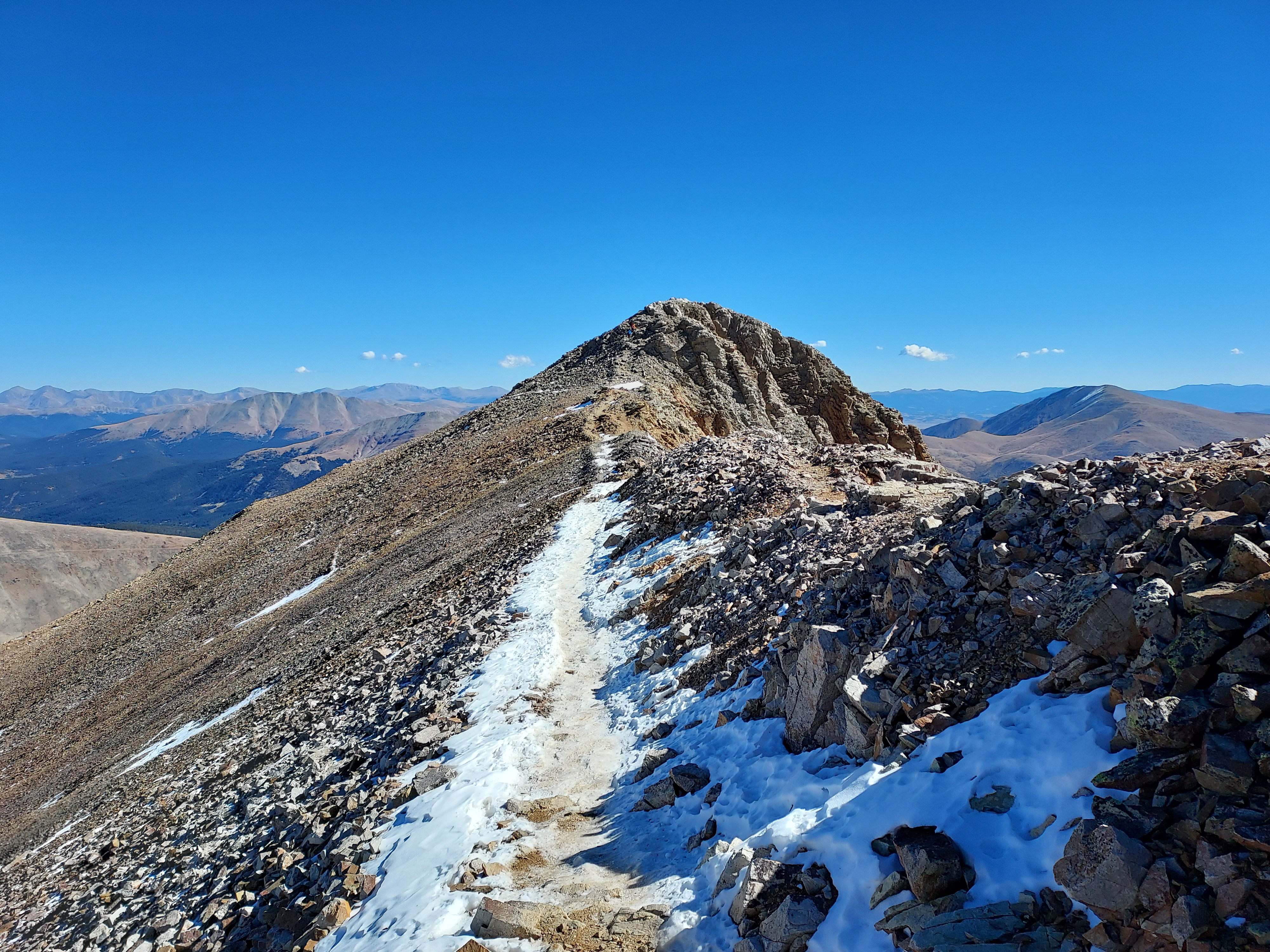
This section was comparatively gentle. It's approximately 1.5 miles between the cutoff and Mt Lincoln with much less elevation gain. The saddle between the two summits is at 13,900' and the trail pleasantly undulated along the ridgeline. Abandoned mine shafts were everywhere and I could see why landowners made you sign the waiver.
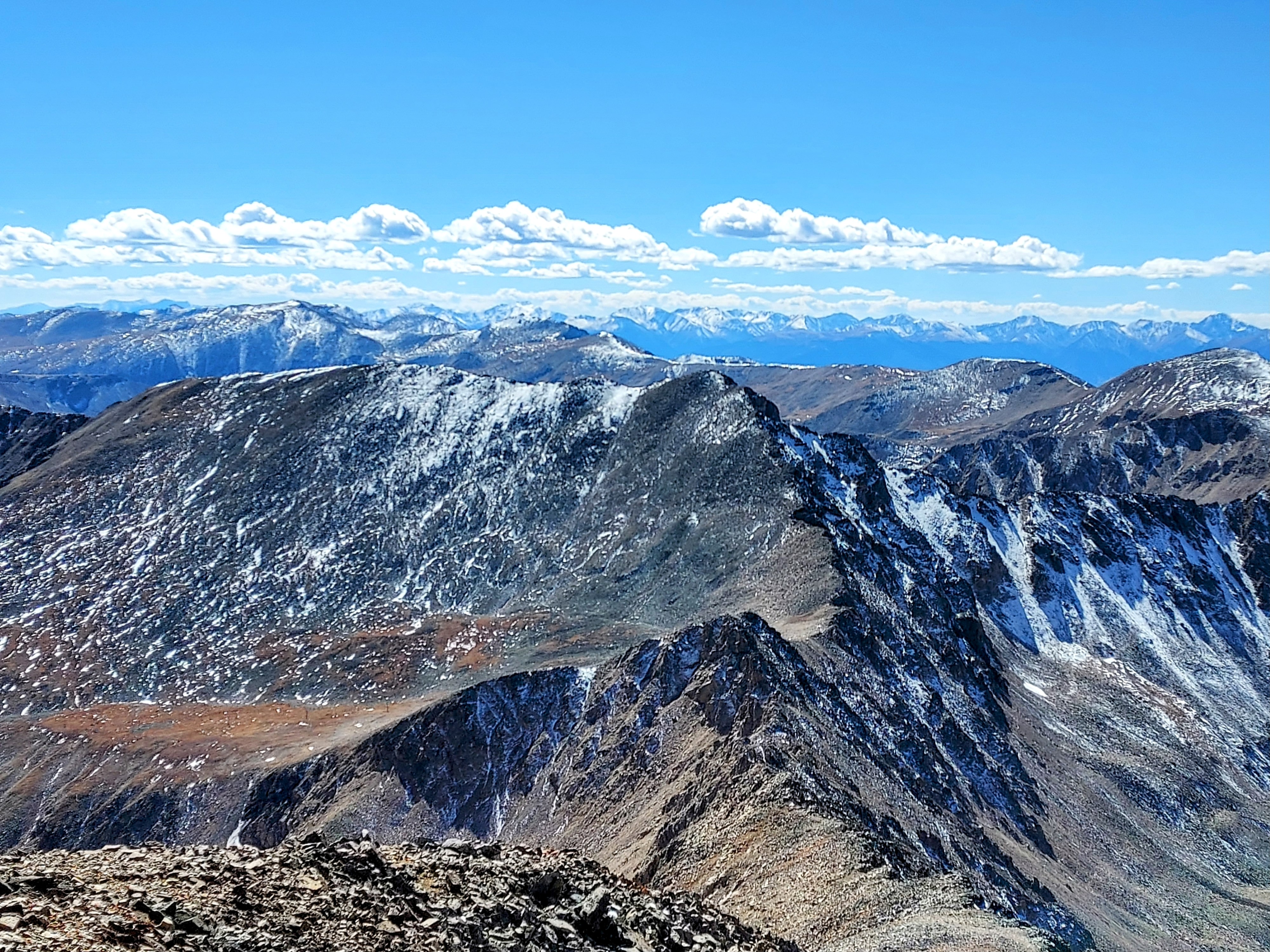
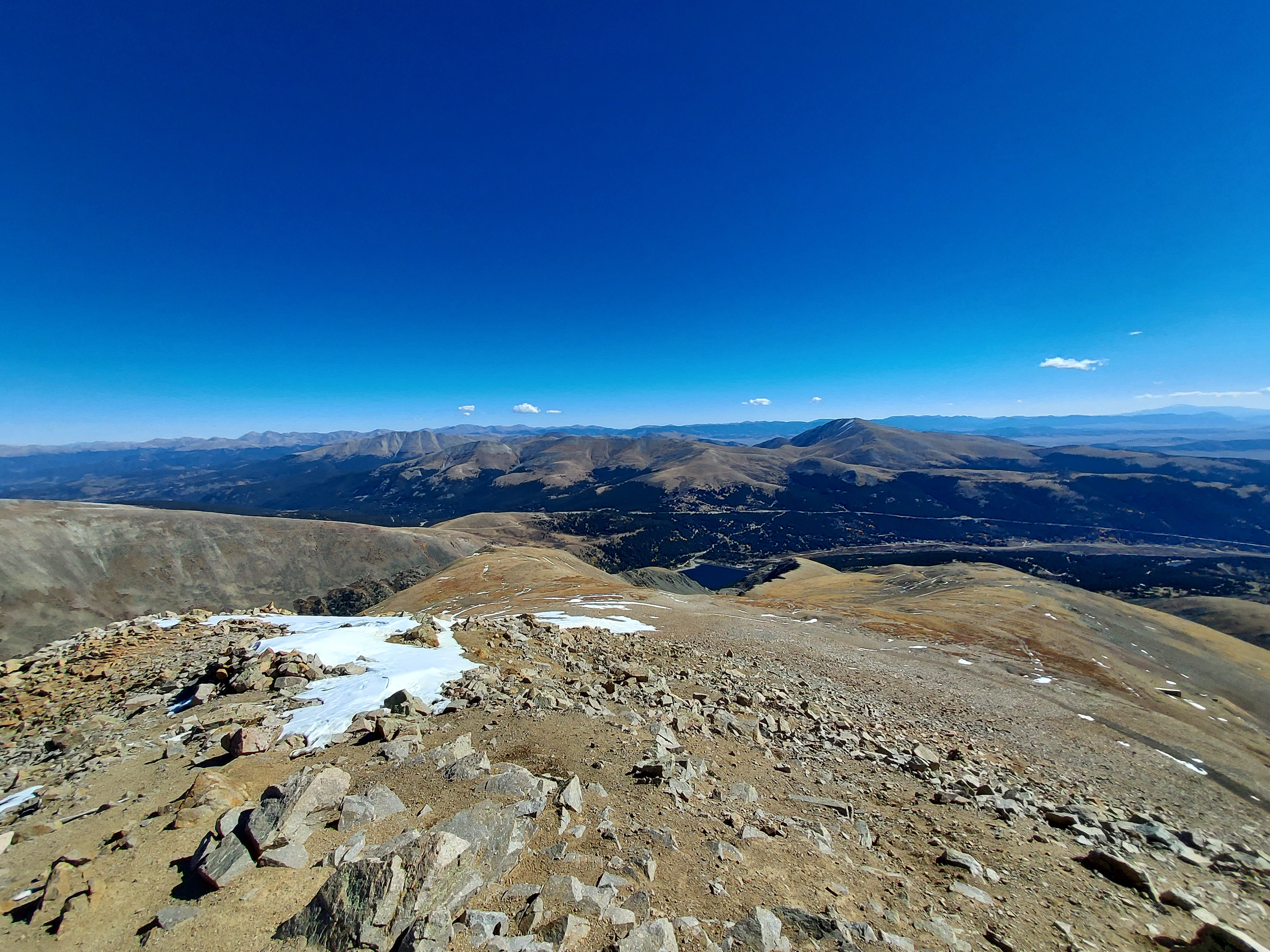
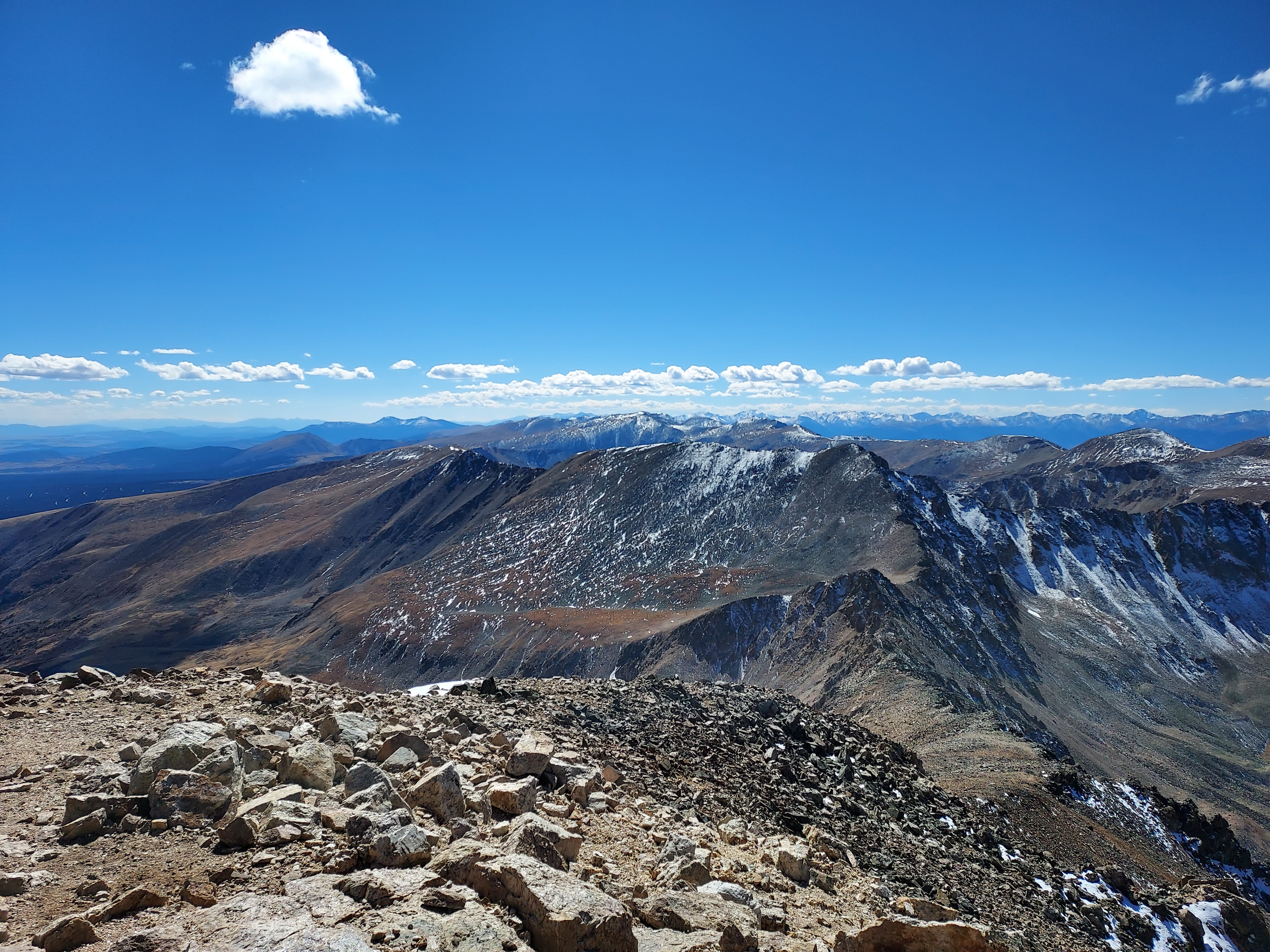
Just below the summit of Mt Lincoln I encountered the only significant snow or ice on the trail. It was easily navigated. I wore trailrunners and had no trouble nor did I wish I brought traction. The summit of Mt Lincoln, at 14, 293' held an extraordinary view of much of the Mosquito Range, South Park and several of the distant collegiate peaks.
Mt Lincoln to Mt Cameron
This is another simple, straightforward section without much to comment upon. I descended the way I came up Mt Lincoln. At the saddle, I saw a herd path going up Mt Cameron. It was about 0.6 miles with just over 100' of gain from saddle to summit. Although it was pretty, I didn't waste too much time on the summit.
Mt Cameron to Mt Democrat
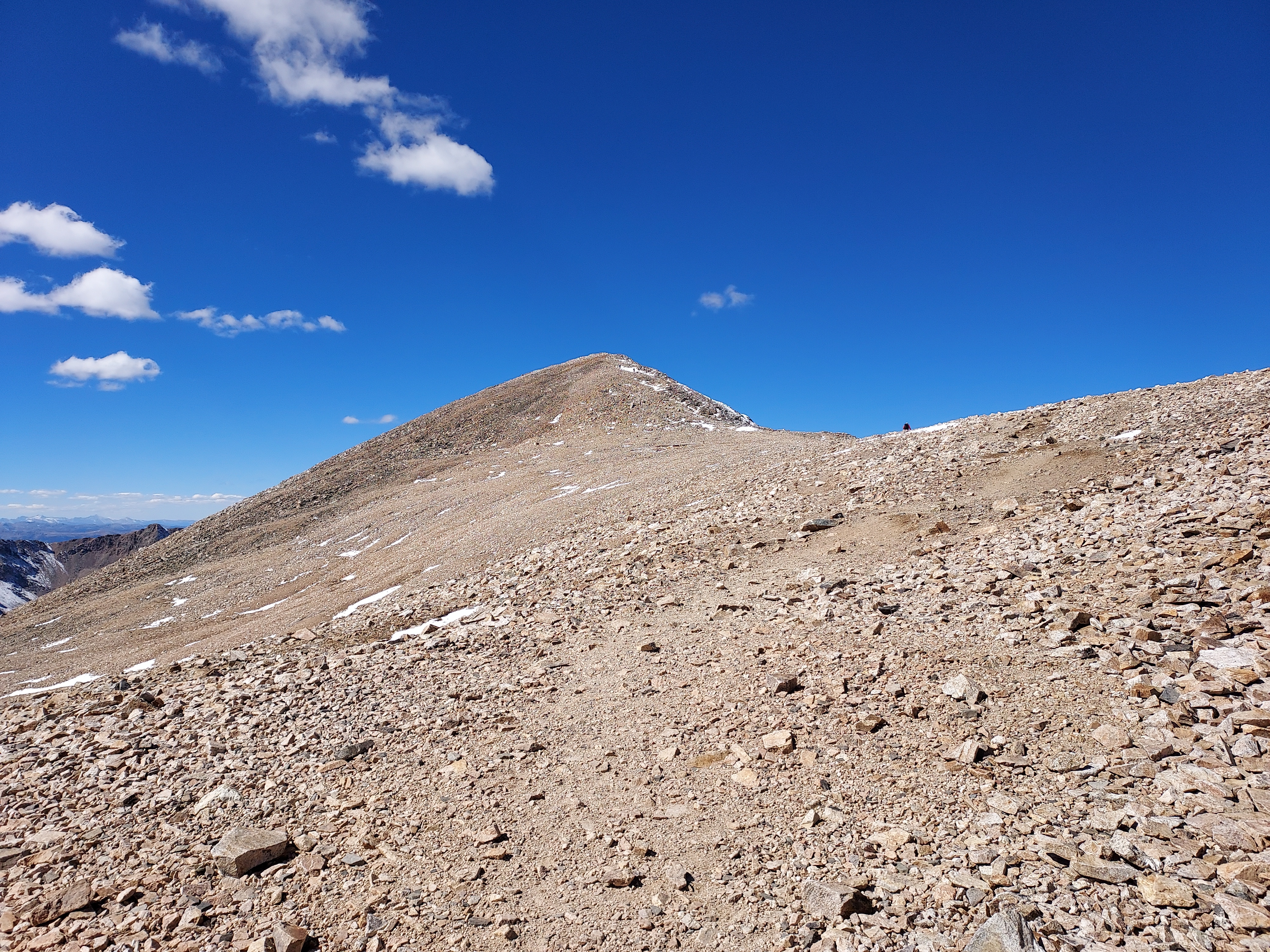
This section was among the most challenging. Despite having gained most of the altitude during the ascent of Mt. Bross, I was still fatigued, and there was more climbing ahead. The descent from Mt. Cameron to the saddle involved an 800-foot drop over 0.8 miles, and I noticed that the trail became less distinct in some areas. Notably, the path deviates from the ridgeline and heads south for a short stretch, following the path of least resistance.
Upon reaching the saddle, the route to the summit was a class II climb, and it was the steepest part of the hike. The path involved some switchbacks up the slope, but it was clearly marked. After ascending about 600 feet, the trail leveled off at a false summit before the final push to the top. Mt. Democrat's summit offered the most awesome view of all.
The descent from Mt. Democrat back to Kite Lake was uneventful and required no challenging route finding.
Overall this was a fantastic hike. It took me about 5 hours and 15 minutes to do the entire loop and I stopped only for photos basically. I would totally do that one again. Since I still had daylight, I ran over to Mt Quandary and bagged that into the evening.

No Comments