


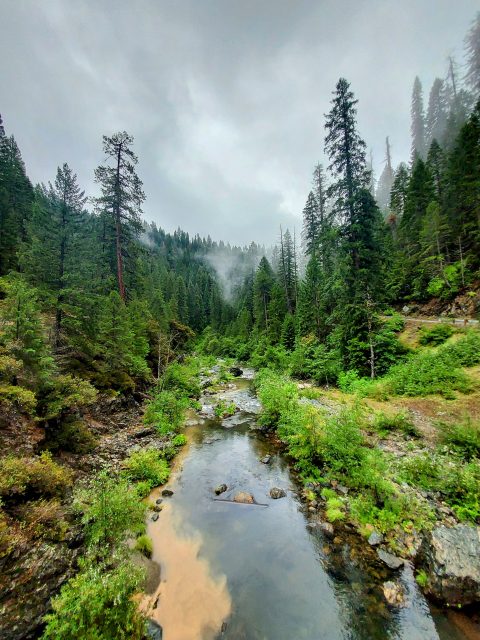
This is an adventure relevant to (almost) no one. However there are a handful of other California county highpointers out there so here's the trip report. Yuba County is located north of Sacramento and is split between the Central Valley and the Sierra Foothills. The county actually has quite the pantheon of hiking trails though it gets overlooked for Tahoe related destinations. The Yuba county highpoint itself is located on public, federal land managed by Plumas National Forest and is right on the line with neighboring Sierra County. Its officially unnamed but some sources refer to it as Sugar Pine Peak.
Getting to the Yuba County Highpoint
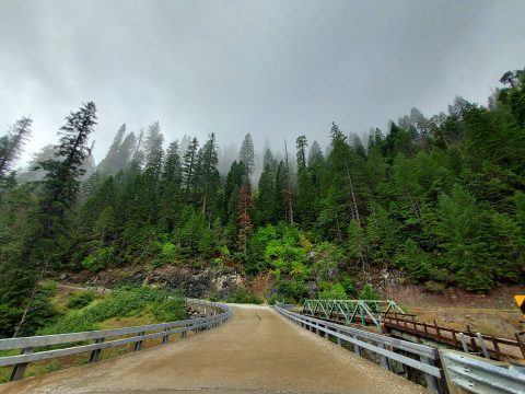
There's only one accepted route to the Yuba County Highpoint and involves way more driving than walking. There's a road that gets very close to the highpoint and is entirely dirt/gravel. As of September 2023, the road was clear and passable by most any vehicle. I drove a stock Subaru within a mile of the summit without any trouble. Having said that, the roads are unmarked and a little ambiguous. Note the roads are entirely public but there's signage early on indicated land on both sides of the road is private (presumably timber interests). I saw a handful of folks back there, everyone was kind and courteous.
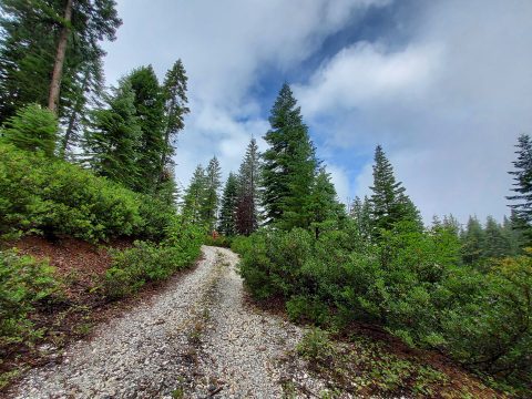
Here's a few photos of the drive in -
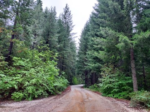
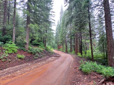
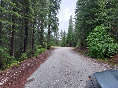
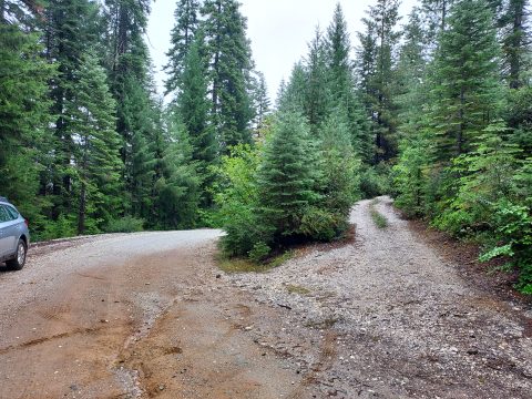
A few notes on the driving route-
- Google Maps was correct for the turnoff for "Scales Road"
- Google Maps was mostly correct to the turnoff for the highpoint. Some of the roads have slight deviations from google maps.
- It was about 7 miles from Quincy La Porte Road to the turnoff
- Some sections were quite narrow though not complex
- Some people have driven the last 1 mile to nearly the summit. However the last mile was very brushy and overgrown. You would definitely get some Sierra racing stripes on your vehicle driving the last part.
Here's a map of my driving route and hiking route-
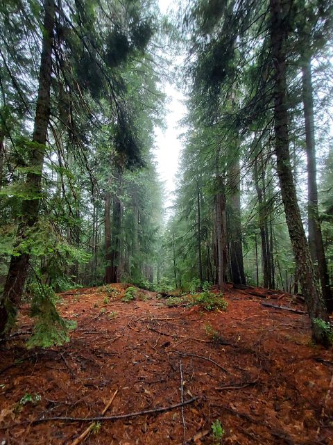
Yuba County High Point Hike
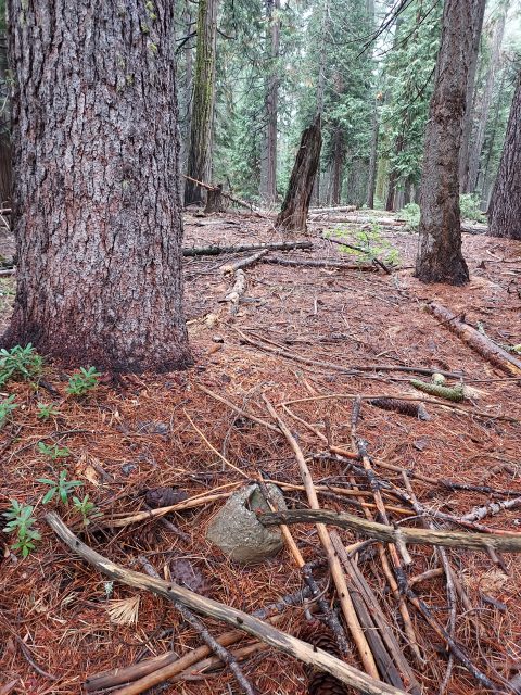
I parked alongside the road at an unmarked turnoff leading toward the high point. Following a pre-loaded GPS route, I trekked approximately half a mile along the road. When I reached this point, I veered off the road and took a direct route towards the unmarked summit. The final stretch proved a bit muddy and overgrown with vegetation, but it wasn't a challenging bushwhack by any means. The summit itself appeared quite elusive. After some searching, I stumbled upon a concrete stump, although there was nothing resembling a register or marker. I explored the area thoroughly to ensure I had covered the highest point before beginning my descent. In total, the walk from my parking spot to the summit spanned 0.8 miles and took me less than 20 minutes.
Here's what you can expect-
The whole affair took about 2 hours, most of that just driving in. That's California County High Point #40 of 58 for me. Of note, the Yuba County Prominence Point is Chitterden Ridge but lies on timber property. I'm happy to share more information if requested.

No Comments