


After bagging several Nevada county high points including Mt Davidson, Rose Peak and Granite Peak, I turned my sights to Virginia Peak. This summit is near Pyramid Lake and is the most topographically prominent peak in Washoe County. Honestly, its not much of a hike given an access road leads to the summit. However, that road was closed on the day I visited so I had to work much harder for this bag.
Access
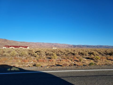
Virginia Peak is not far from Reno. It looms over Palomino Valley which has the easiest access. To the north and east are the Truckee River and Pyramid Lake. Most of the land surrounding the summit is managed by the BLM. The main road accessing the summit is Microwave Road and has private ranchlands surrounding much of it. However, the road itself is public and open to vehicles
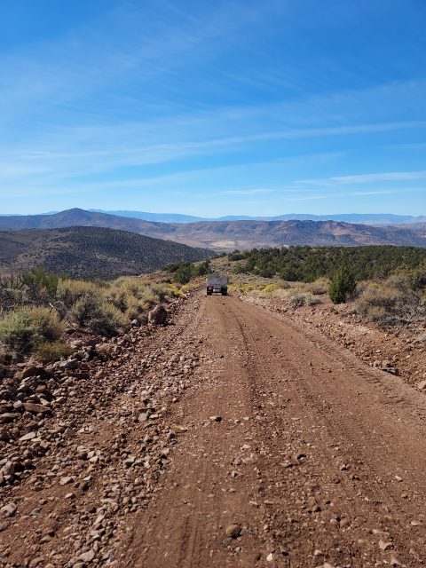
I happened to visit when they were doing a tremendous amount of grading and work on Microwave Road. That means it will be well maintained but for me I had to travel on my own steam from where the road starts. Google Maps got me there without a problem although multiple driving routes exist. All the roads were passable by a sedan up until Microwave road.
Here's the driving (or in my case hiking) route:
Virginia Peak Notes
I parked well off the road near the start of Microwave road. The starting altitude of the road is roughly 5,600' and it's 12.6 miles out-and-back to the summit. From the start, I mountain biked for about 3 miles, gaining 1,500'. I instantly ran into the road work crew who were kind and mindful. It looked like the road would be easily passable by most vehicles for the first 4.5 miles to an altitude of 7,600'.
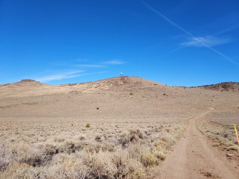
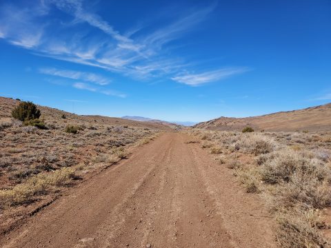
Unfortunately for me, the dirt was extremely loose due to the grading. I ditched the mountain bike and continued on foot for the latter 3.3 miles. The steep road plateaus at about 7,600' at the only major intersection. Virginia Peak looms to the northeast with an obvious access road headed towards it. For passenger vehicles, this is a good spot to stop- it's steep and rocky for the last 1.6 miles. Here's a few photos of what I encountered-
Although covered in radio towers, the summit had excellent views. A massive cairn marked the high point. Near it was the summit register filled with names of fellow peakbaggers and a few disgruntled radio tower folks. I enjoyed the moonscape views of the high desert and the south shore of Pyramid Lake. Unfortunately, there aren't great views of the lake.
I put my name in the register and made it down without any problems. I can't say it was the grandest summit in Nevada but a fun side trip nonetheless.

No Comments