


October is a lovely time of year for the San Gabriels, as long as they're not on fire. Crisp mornings and pleasant temperatures make for great hiking at the higher altitudes. On a recent visit to Southern California, I did a blitz of a few summits in the Mt Baden Powell area. Including that, I hiked nearby Mt Lewis, Throop Peak and Mt Hawkins, all of the Hundred Peaks Section peakbagging list. These summits all involve a little route finding but nothing too serious.
Access and Trailhead Information
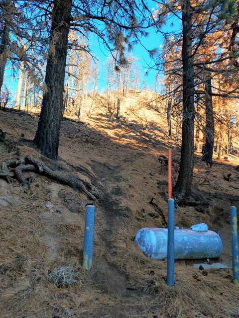
Mt Throop, Mt Lewis and Mt Hawkins are closest to Dawson Saddle on the Angeles Crest Highway. Dawson Saddle is at al altitude of 7,943' and the highest paved road in the range. While there's no formal parking lot at the saddle, there's room for at least 5-8 cars on both sides. It's hard to say whether an Adventure Pass is needed for parking but I had one just in case. Well beaten but unsigned trails depart from the saddle for Mt Throop and Mt Lewis.
As is well known by most Southern Californians, Highway 39 does not access Highway 2 from Azusa. Although it shows up on maps, even Google Maps, a four mile segment has been closed for decades.
Here's a map of my hike-
Mt Lewis (San Gabriel Mountains) Hike
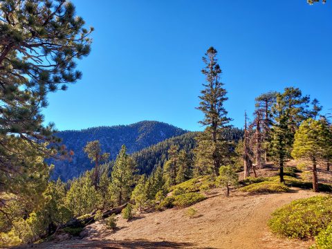
Mt Lewis is a nice warm up for Throop Peak and Mt Hawkins. I started at the saddle and found a use trail headed northwest. It was not signed and the trail was faint in some sections. I followed this lose, steep and somewhat ugly trail until coming to an obvious high point. It was just over 0.5 miles to the top with 460' of gain.
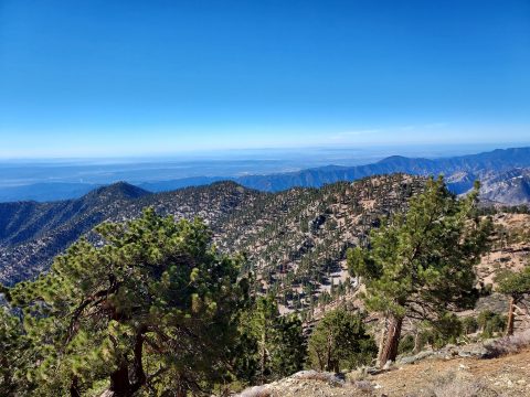
Burn scars allowed for some directional views of the desert and the western San Gabriels. I found a stack of rocks which seemed to be the summit but no register. Compared to other summits nearby, Mt Lewis was forgettable. On the way down I followed my own GPS track. In spite of the brevity, the route back was surprisingly ambiguous and easy to lose.
Throop Peak and Mt Hawkins
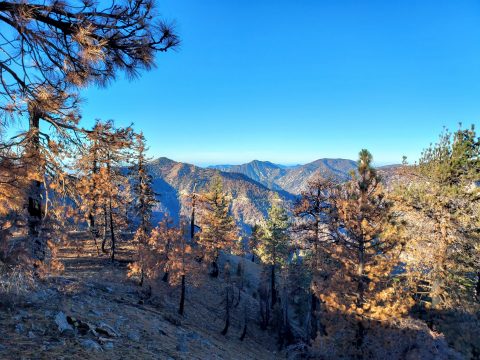
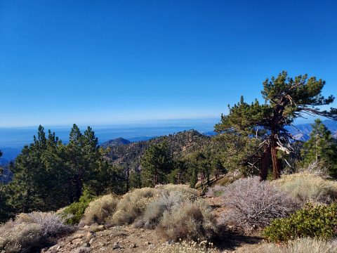
Back at Dawson Saddle, I started up another unsigned but well trodden trail into the woods. After 0.2 miles, the use trail joined the formal "Dawson Saddle Trail". I followed this trail 1.5 miles, gaining 800' at a uniform 10% grade. A light dusting of snow covered the northern ridgeline of Throop Peak but boots sufficed.
At the 1.5 mark, I spotted another use trail on the right that headed to the summit. This was a direct and steep climb following a faint but relatively straightforward path. Having a preloaded GPS track took the guesswork out of the hike. I followed this path to the bare summit. The views were phenomenal, especially in the morning light but there was no summit register.
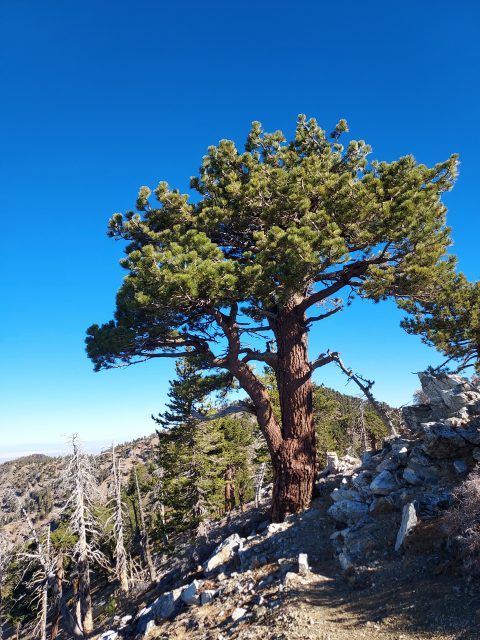
On to Mt Hawkins! This summit is hardly more than a bump on the ridgeline but a nice, easy bag from Throop Peak. I descended on the ridgeline headed southwest. There's a use trail that links up with the Pacific Crest Trail after 0.2 miles. That section was ambiguous but brief. On the Pacific Crest Trail, I headed 0.5 miles until a faint junction with another use trail (It really helped having a pre-loaded GPS Route). I took the use trail, climbed about 150' gaining Mt Hawkins. The summit had nice views but no register.
The return involved about the same effort. There's no way to avoid climbing Throop Peak again on the way back. Total distance was 5.8 miles with 2,100' of gain.

No Comments