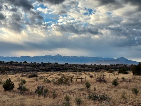
On my second day of my New Mexico trip I climbed Manzano Peak. This range looms over the Rio Grande valley much like the nearby Sandias but is rarely visited. Manzano Peak rises to 10,098' and has 3,238' of topographic prominence. It is the 14th most topographically prominent mountain in New Mexico. So it's a destination for peakbaggers but basically nobody else. Hence, the wilderness was pristine. Here's my winter trip report
Getting to the Manzano Peak Trailhead
A few options exist for climbing Manzano Peak. Nearly all of them start from Forest Route 422 (FR 422) on the eastern side of the range. The shortest and most direct route is the Kayser Mill Trail which starts at about 8,100' and is 7.5 miles out and back. When I visited, there was snow and ice on the road above 7,300' so I didn't try it. The lower, longer option is from Pine Shadow Spring at about 7,200'. There's plenty of parking and no entrance fee.
I drove in from the South via I-25 to Route 60 East. Cell phone reception becomes spotty after about 10 miles of leaving the freeway. It's' about 25.5 miles from the freeway exit to the signed turnoff for FR 422. Then I drove north for 10 miles exactly to the trailhead. The road shouldn't be any trouble for most vehicles. Its washboard in some sections and very low clearance cars may hit a bump or to. Generally the road is in excellent condition. I doubt it's plowed in the winter.
There's abundant primitive camping available in the Manzanos. Established campgrounds are Red Canyon and Manzano Mountains State Park; both close in the winter. Here's a good area map.
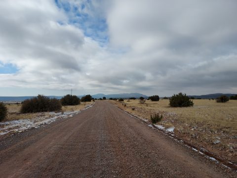
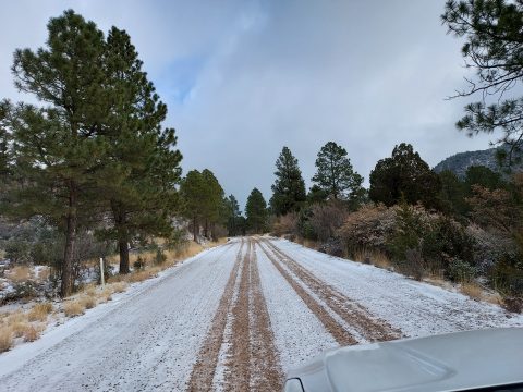
My (winter) Route up Manzano Peak-
With a recent snowstorm I snowshoed/climbed areas that wouldn't be possible in the summer. I don't recommend following my route exactly as there's a fairly good trail most of the way:
Trip Report
It was about 20° F and very windy when I began. About an inch of snow fell overnight at this altitude with much more on the ground as I got higher. I pegged my chances at a successful summit at 1/4. But I packed well; snowshoes, microspikes, knee-high gaters, winter gloves and several layers. So pressed on.
As others have discovered, the trail is ambiguous in some sections. I assumed it was too ambigous and followed several herd paths which dead ended. My chances seemed slimmer. Eventually I gave up following the trail and simply made a b-line up to 8,000'. Surprisingly, the trail was very clear from there to the top. Hmm.
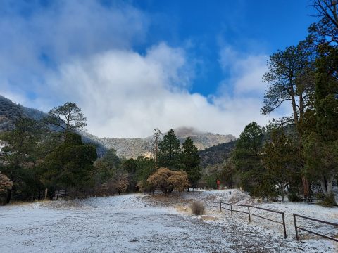
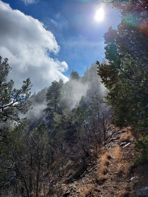
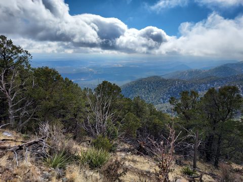
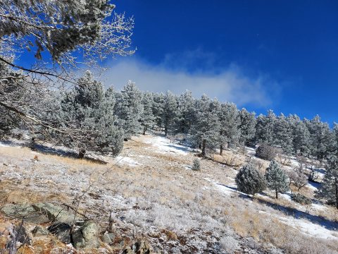
At 8,000 I found the trail easy to follow. The ridgeline had less tree cover and better sun exposure so it was snow and ice free up until 9,000'. I passed through the burn scar at around 8,500' with no trouble following the trail. I climbed about 2,000' over 3.1 miles at this point.
From 9,000' onward there was powder and ice, eventually necessitating snow shoes. Fierce wind and cold gripped the final miles of the climb. The next 1.5 miles to the summit were somewhat flatter - only 700' of gain. However I postholed through the powder, even in snowshoes. My pace must have slowed to less than a mile per hour. I trudged along.
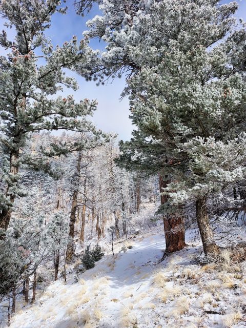
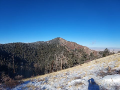
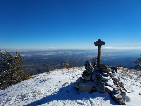
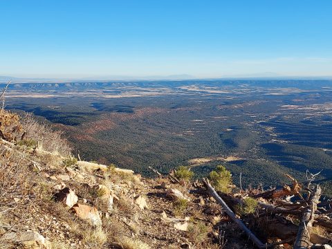
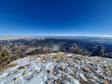
The last quarter mile or so was totally off trail. I made my way up increasingly deep powder but gained the summit without too much hassle. Although below treeline, the summit had extraordinary views to the East and South. The gaping plains of eastern New Mexico stretched for tens of miles.
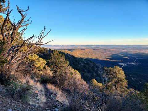
For the descent, mostly followed the trail. There were sections of deep snow where I cut the switchbacks. Of course, I wouldn't do that in the summer. Total distance was about 10.2 miles with roughly 3,000 of gain. I'd love to do it in the spring or summer, I'll have to return again!


No Comments