Star Peak is an Ultra-Prominent Summit in Northern Nevada and the highest mountain in Pershing County.
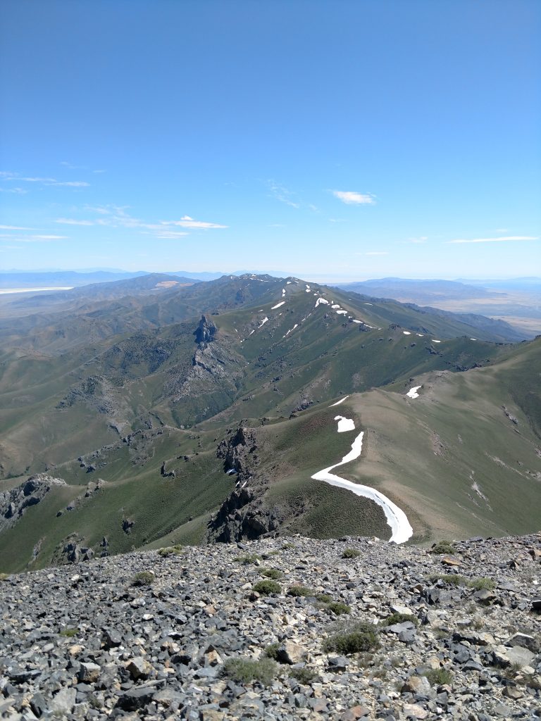
Star Peak is an off the beaten path peak with immense topographic relief. It attracted me due to the topographic prominence- being one of the 57 "ultra-prominent" (or most important) summits of the Lower 48 states. Rising from the basinof the Humbolt River, its no surprise its named Star Peak.
This was the last summit I hiked on my recent road trip across the Western States. It was a fitting end to a marathon of peak bagging.
Getting to Star Peak Trailhead
The mountain is definitely remote by most people's definitions but surprisingly accessible compared to the likes of other Nevada Ultras like Arc Dome and Jefferson Peak. Getting there is easiest in a 4-wheel drive (but I'm sure somebody's made it in a Prius before).
The "trailhead" is about an hour South of Winnemucca and a little less than an hour North of Lovelock. From both directions, you take exits to a frontage road that parallels I-80. Google maps did excellent in guiding me to the dirt road into El Dorado Canyon. There were signs indicating the property on both sides of the road was private so don't stop or get on any of the deviating roads. Its roughly 3.2 miles from the frontage road to the end of El Dorado Canyon where there's a decrepit hunting cabin and space for a few cars.
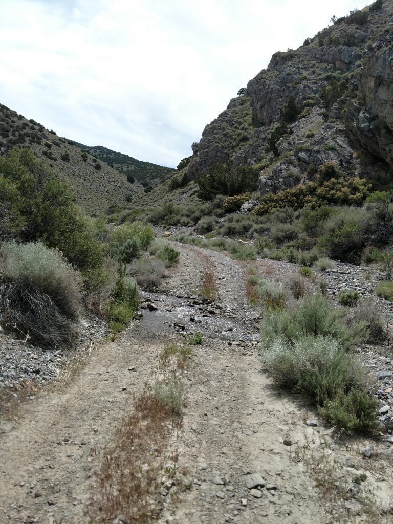
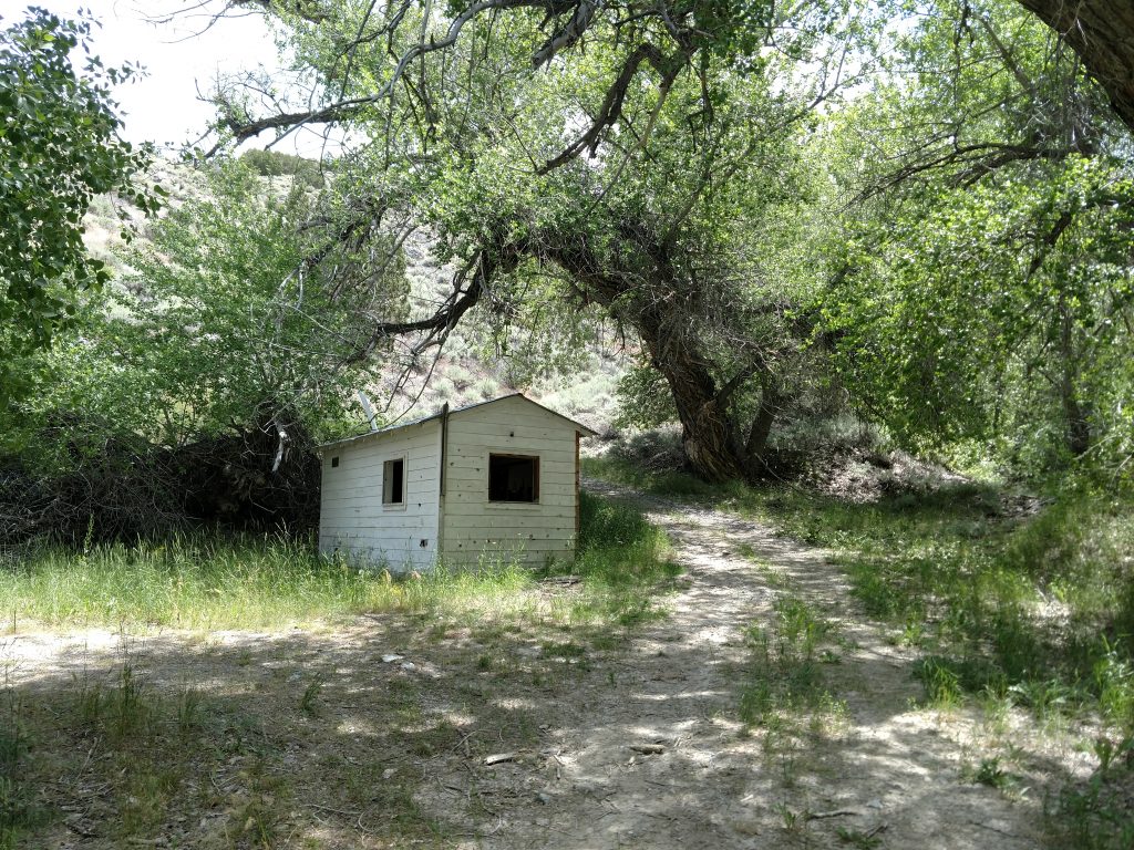
The road deteriorates further into El Dorado Canyon. I encountered 2 water crossings in June of 2019. The second was running swiftly and I wasn't confident in my ability to get out of it if I got stuck. I found a pullout and continued on foot.
Here's a hiking map with the trailhead:
Hiking Star Peak
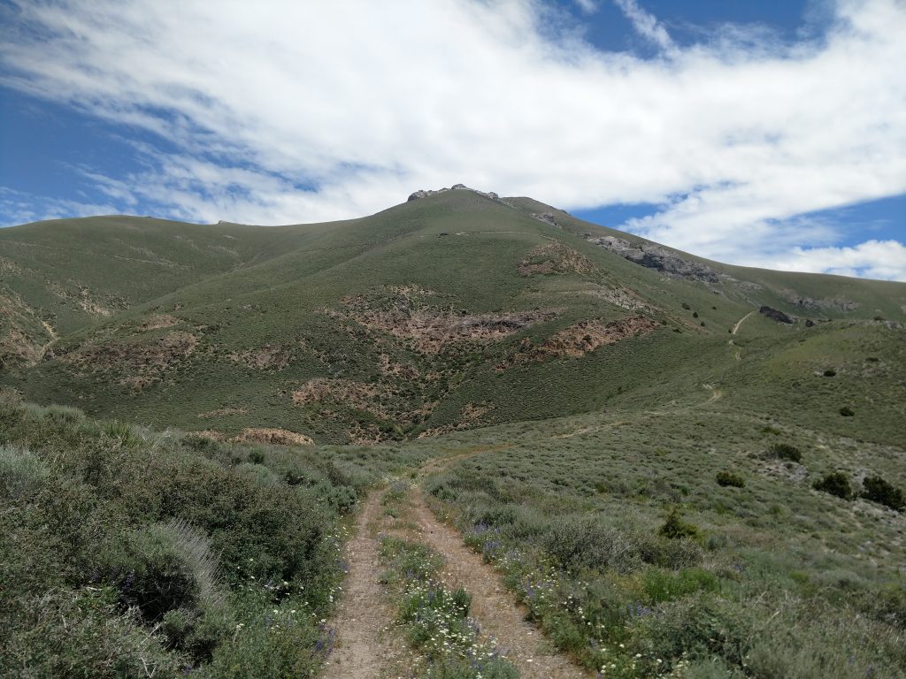
The directions are very straightforward from a hiking standpoint. Simply take the very steep and winding Jeep Trail to the saddle and then follow a herd path to the summit towers.
As is typical for Great Basin summits, the hike was fairly exposed to the sun but the views were phenomenal. Below me, the swollen Humboldt River actually looked like a river rather than a creek. Further up, I felt like I could see the entire northern half of Nevada.
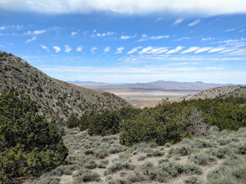
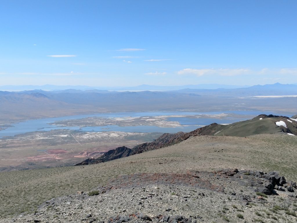
A satellite view makes it look like there's a hundred deviating Jeep Trails on the way to the saddle but as long as I stayed on the most obvious, well worn path, I didn't get lost. However it was very steep climbing- I'm sure its a 4-wheel drive dream.
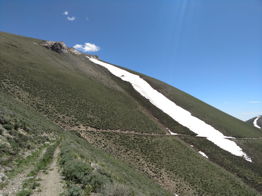
At about 1,000-ft vertical feet below the summit, the trail takes a sharp turn left or North and skirts around the highest reaches. It flattens a bit and the views are characteristically glorious. It was confusing at first, making me second guess my path-finding but eventually I topped out at a saddle just about 9,000' and found the herd path to the summit.
Past this point, there's hardly even a bush or tumbleweed blocking the views. The vegetation is scant, making the final summit push fairly straightforward. I simply took the most obvious path.
Summit of Star Peak and Return to Car
I had excellent weather and clear views at the top. I didn't find a summit register but a make-shift wind break offered a nice spot to rest and take in the views. The Great Basin desert stretched endlessly into the horizon, broken only by narrow mountain chains like the one I stood upon.
I don't know why I find the Great Basin so enticing but maybe its just the solitude. I found no trace of any other hikers or civilization on most of the hike (other than the tower at the top).
On the way down, I encountered a strange sight that's apparently common in Nevada; Mormon Crickets! They're the size of your thumb and they can hop a whole foot into the air. I'm glad they can't fly!
That was it for my peakbagging bash over the Summer! Hope I can keep doing this every year!


No Comments