


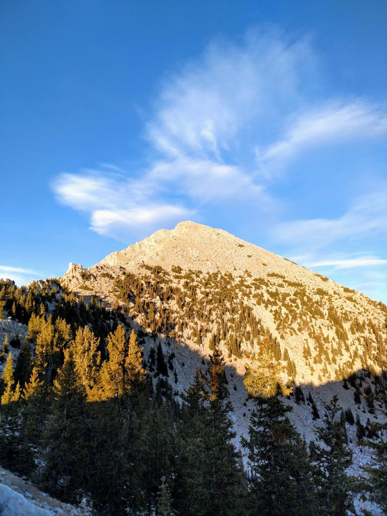
At just over 12,000' and looming over the Western deserts of Utah, Mount Ibapah is one of the most remote high altitude mountains of the contiguous United States. I've long been intrigued by this lofty summit, mainly from a topographic prominence standpoint. With 5,247' of prominence, it lands on the shortlist of 57 mountains in the contiguous US with such a rise from their saddle.
It took me a long time to make it out to Ibapah Peak. The reason its its extreme isolation from any large metro areas or, for that matter, roads. At least 40 miles of mostly unmarked dirt roads must be navigated to get to the trailhead. From there it is a straightforward but long hike and scramble. Nevertheless, this is not a place you just stumble upon. You have to really want to be here!
In October of 2020, I made the long trip out to Mount Ibapah and hiked its summit. Here's my guide and trip report
Qualifying Ibapah Peak's Remoteness
A brief tangent-
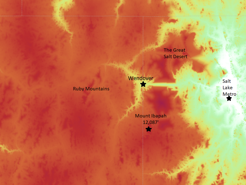
"In the middle of nowhere" is a phrase that fascinates me. Most of my trips are to remote places but I often wished there was a way to qualify that. I recently discovered an unusual but relevant tool for that purpose- the Malaria Atlas Project (MAP). Its purposes are for highlighting access to healthcare, hospitals and housing. The purposes of the map are for more noble causes than simply finding really far-flung places across the globe. Using the date from MAP, Ibapah Peak's isolation becomes apparent-
Note the darker red and purple areas are considered exponentially further from major centers of population. I added my own labels to the map below:
Drive to Ibapah Peak's Granite Creek Trailhead
Prepare for a very long drive on mostly dirt roads. Getting to Ibapah Peak's trailhead requires knowledge and familiarity with backcountry navigation and travel. Most trip reports indicate a 2-wheel drive vehicle with normal clearance will make it most of the way. I had no trouble navigating these roads in my Subaru Outback but I parked about 3 miles away from the true trailhead, when the road becomes a 4x4 drive.
I followed directions posted on Road Trip Ryan who provided very accurate mileages from West Wendover, Nevada. Have a paper copy of those directions handy. There's not much else I can add to Road Trip Ryan's directions but I've provided a Google Map of the route I took below:
A few things of note from my drive:
- The one-way driving time for me took about 3 hours from West Wendover, NV to the Granite Creek Trailhead
- There are absolutely no services after leaving West Wendover area.
- I had good cell phone reception out of West Wendover, NV and then again once I neared the town of Ibapah, UT. Other than that, I had absolutely no cell phone reception
- The roads were all excellent quality. A few miles of washboard here and there but nothing too difficult
- There's open range cattle in the area. In the canyon, this slowed my driving to a literal snail's pace
- I met several locals along the way. They were very friendly if not bemused by my California license plates
- I parked before the first creek crossing of Granite Creek. Beyond this it becomes a considerable 4x4 road. I was too alone to risk going further in my Outback
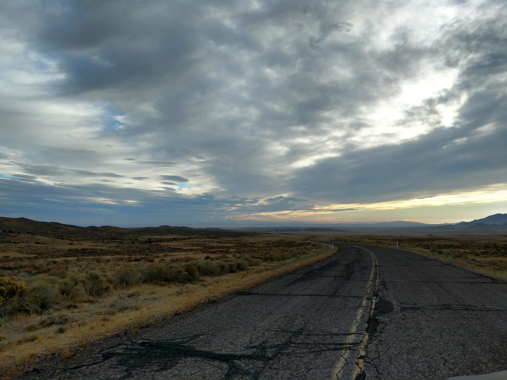
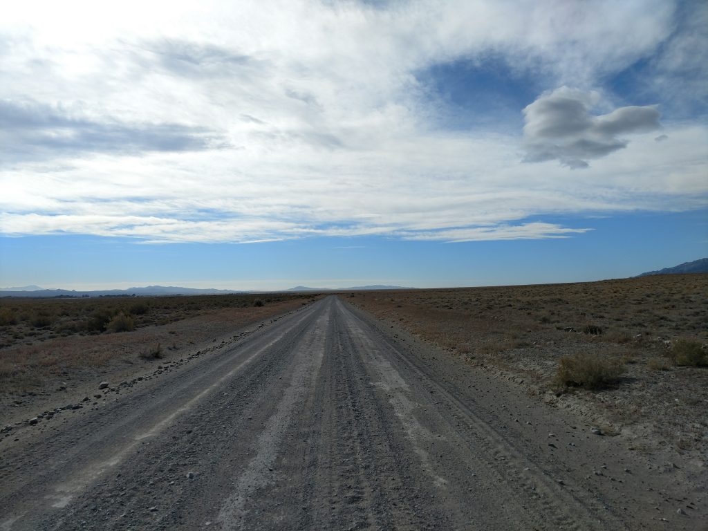
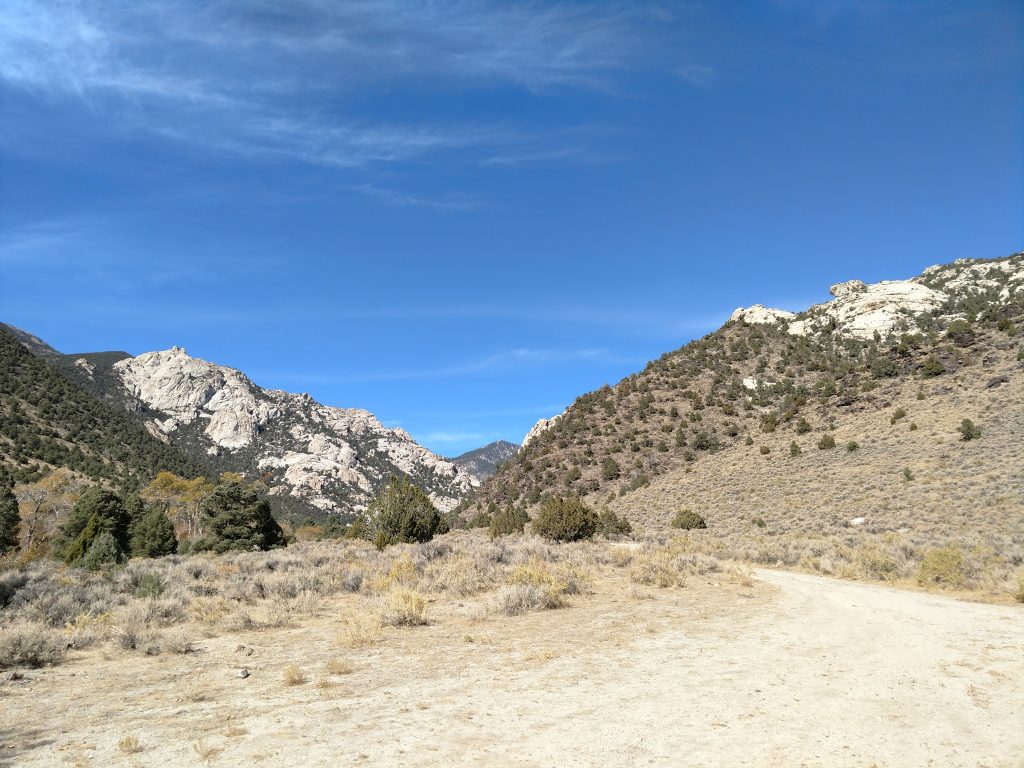
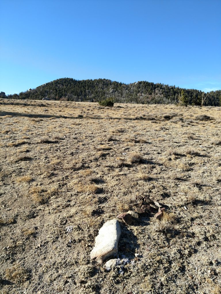
Here's a few photos from the drive-
Ibapah Peak: Hiking the Rest of Granite Creek Road
As seen from my map, I simply hiked the remainder of Granite Creek Road. Before the first creek crossing, the altitude was approximately 6,100'. Just beyon, there was a very busy hunters camp and plenty of additional free campsites for any would-be hikers of Ibapah Peak
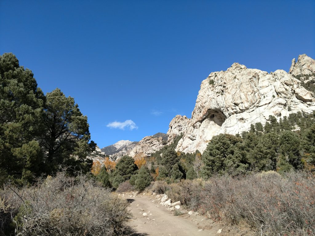
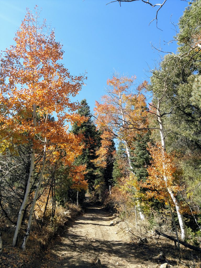
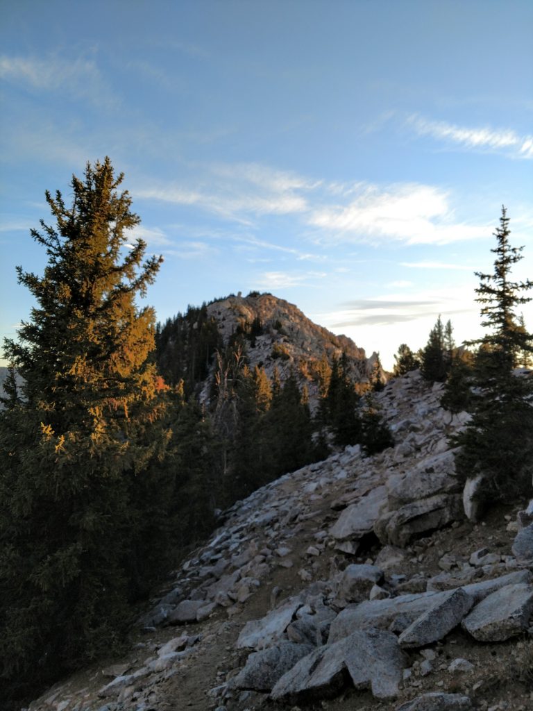
The road is clearly 4x4 at this point with sections of very loose dirt and sand, multiple water crossings and extensive rock and scree. Its one of those roads that a determined person with reasonable clearnce and skill could make up. But alone and far away from help... I'm glad I didn't attempt. It was pleasant enough walking anyways; sheer cliffs on either side and fall color in the aspens-
Somewhere between the second and third creek crossing is a BLM marker indicating a hiking trail. Though not well marked, its supposedly a 10 minute trail to some petroglyphs. I was short on time so I missed this gem. Continuing on, I went up and down some more but eventually found the clear end of the road at ~7,360'
Mount Ibapah Trail to Saddle
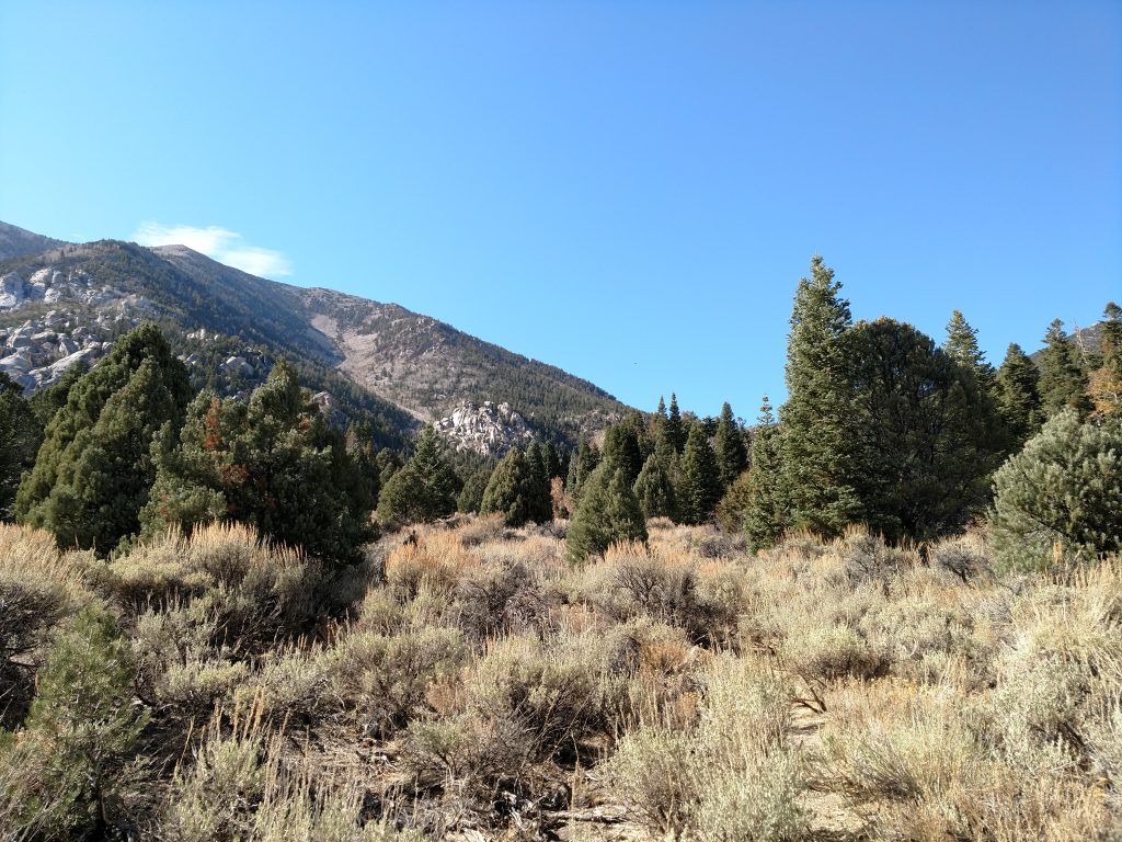
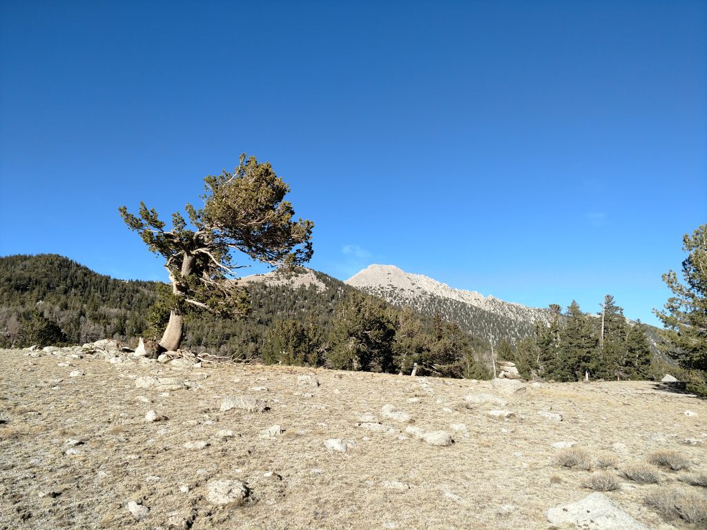
The next section is about 2.5 miles and is a standard hiking trail/herd path to the saddle between Mount Ibapah and Red Mountain. Its about a 2,500' gain to the saddle which sits neatly at 10,000'. At a deteriorating cable gate near the end of the road, a faint trail heads up the canyon. Notably the early part of the trail was covered in downfall too. However, this was the only class I way of getting to the summit so I followed it.
For the next 1.5 miles the trail steadily gains another 1,200' as it parallels the upper reaches of Granite Creek. It was a lovely section- plenty of junipers and cottonwoods along the way. Certain sections through the sagebrush were hard to find but I never got lost- the canyon is too narrow for that. Notably I found no signs nor cairns to mark the way.
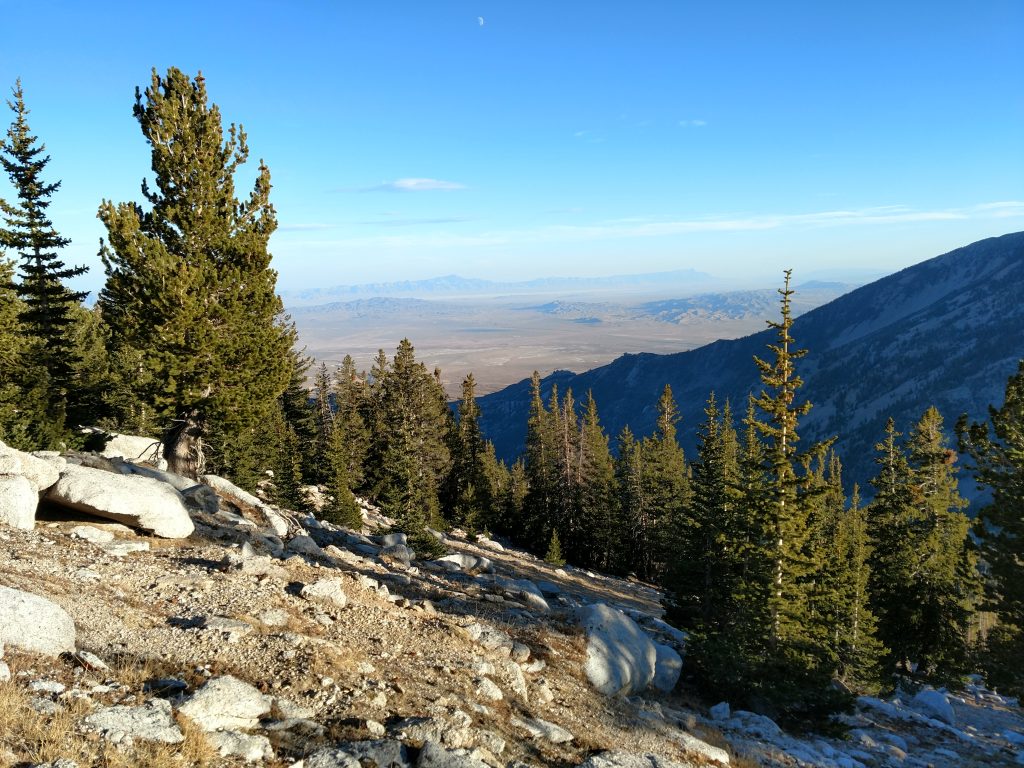
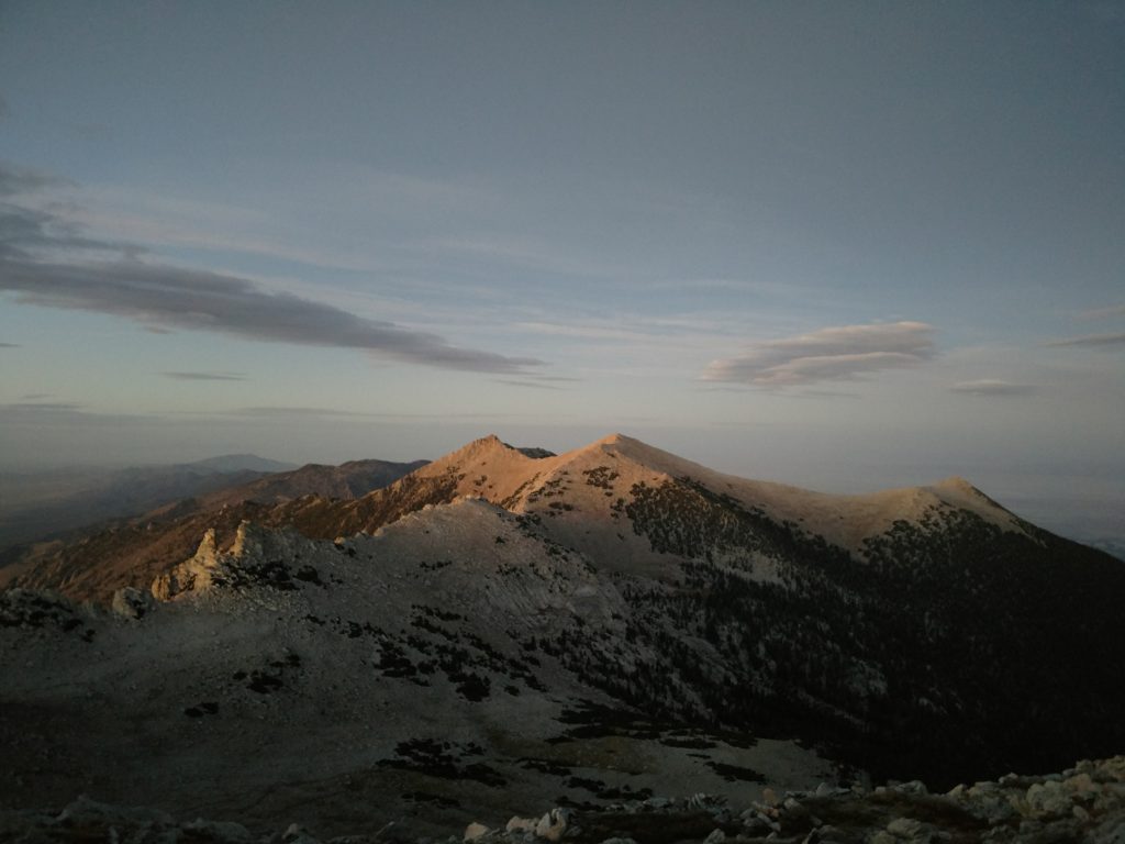
The next mile to the saddle is literally twice as steep with an average grade exceeding 20%. Altitude started to hit me here and my pace slowed to about 1.0-1.5 miles per hour. In between the many breaks, I took in the view behind of the vast Western Deserts. I noted a few water sources along the way.
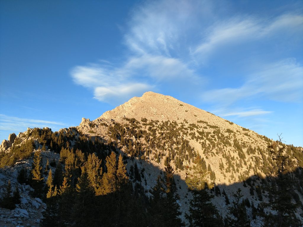
Finally gaining the saddle, I knew the trail would eventually just fade into the sagebrush. A little arrow of rocks marked the terminus and the beginning of the scramble/overland walk to the top.
Saddle to Ibapah Peak's Summit
I was just a 1.5 miles and 2000' below the summit but effort wise I was hardly even halfway there. This next section took longer than all of the proceeding hiking. So, from the extremely windswept and cold summit, I took the path of least resistance through the forest, on my way to the ridgeline just below the summit. At this point there was no evidence of cairns or a herd path. Its a choose-your-own-adventure kind of a route.
A topographic map reveals a small sub-summit of Ibapah Peak just to the Southwest. Although the top was evident from the saddle, once I got into the woods it was easy to get off-route and try going straight for the sub-summit. I recommend following a GPS track through this section to avoid that.
Initially the scramble through the woods was straightforward but at 11,000' I carefully skirted below the sub summit, avoiding unnecessary altitude gain and loss. I reached another saddle at 11,200' or about 800' from the top.
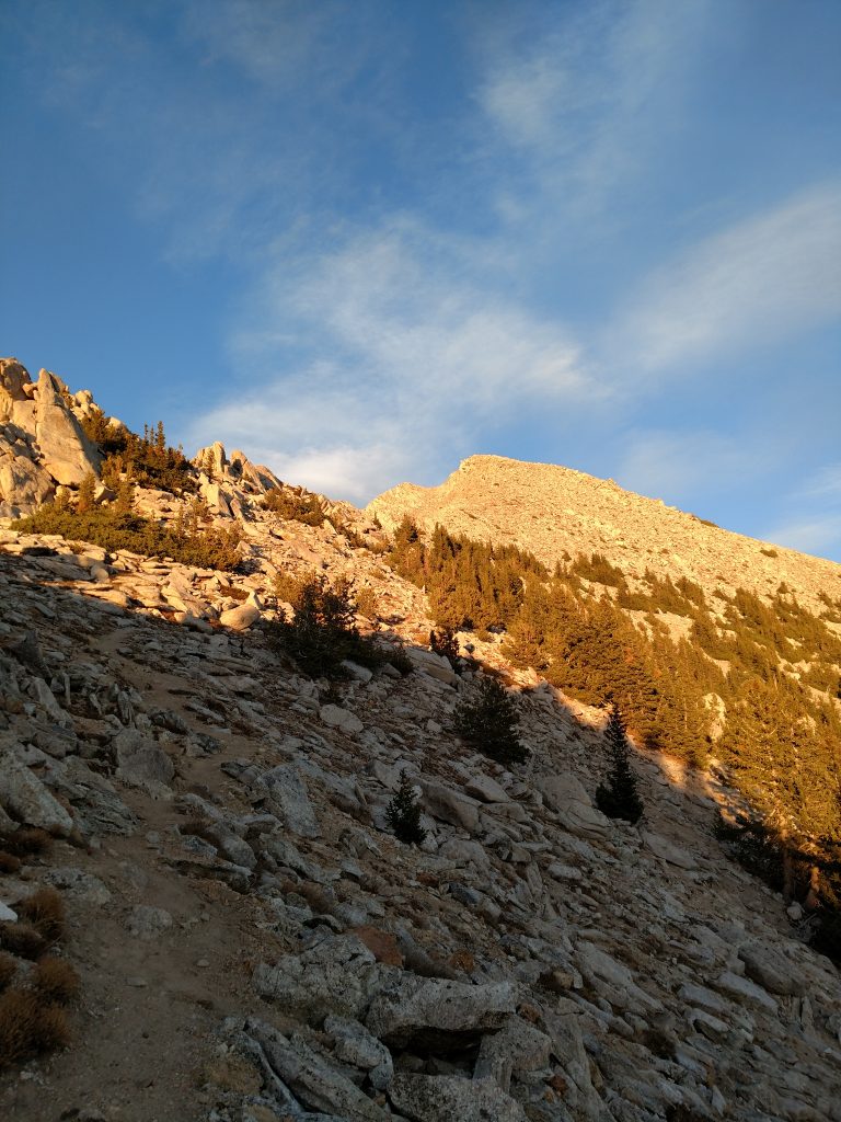
The final scramble to the summit was slow but easy to follow. A few switchbacks have formed from the few dozen parties that climb this mountain each year. I even saw a few cairns which surprised me.
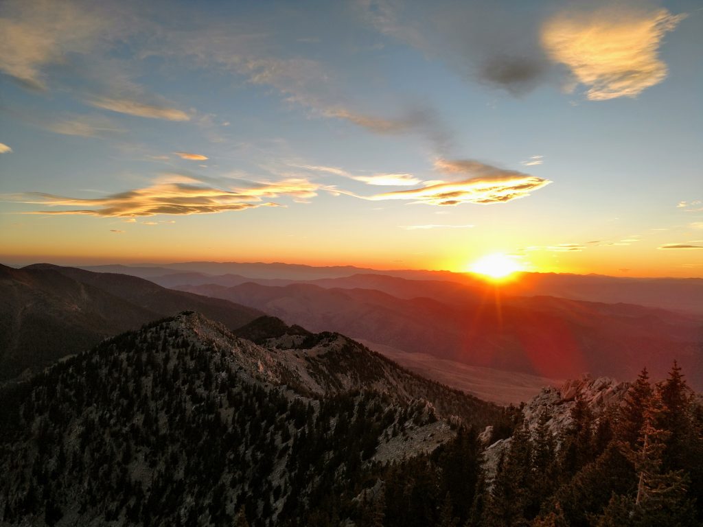
Roughly 5 hours after beginning the ascent, I gained the summit. Unfortunately the sun was setting at this point so I didn't get the views I hoped for. But the accomplishment felt great. It took me 5 years to climb all 8 of Utah's Ultra Prominent Summits.
Mount Ibapah's summit register was a short list of peakbagggers and locals. Many famous names of this odd subculture were in the register. I added my own, ceremoniously finishing my climbs of all the Utah Ultras and reaching nearly 3/4ths of all the Contiguous US Ultras.
Descent in the Dark
These days I rely heavily on my GPS track for tricky descents such as this. Dropping off the summit to the ridgeline was not too difficult, even in the dark. Between the false summit and the saddle it got far more tricky with a lot of doubling back to avoid class IV downclimbs and very lose side-hilling. It took just as long down as it did up.
It was much easier to find a path of least resistance on the way down than to try and follow my track exactly. I ended up back at the saddle always. By heading South-Southwest I knew I'd hit the trail eventually.
Back on the trail, I hiked down in darkness, making it back to the car about 11 hours after starting the climb. I certainly wasn't going to drive out of this in darkness as well so I was content with camping by Granite Creek that evening and driving out the next day.
All 8 Utah Ultras under my feet! This one was definitely one of the hardest but not quite as difficult as Mt Peale, which I did last year. Of them all, this is the most remote of Utahs and one of the least climbed in the lower 48. I'd absolutely climb it again!

No Comments