


In one of my rare, non-summit focused hikes, I went out to the eastern side of the Santa Ana Mountains for a hike of Tin Mine Canyon. When I was in undergrad, I essentially only hiked in the Santa Anas when climbing Santiago Peak. More recently I branched out to the southern side for a climb of Margarita Peak. This is a short but lovely hike through a narrow canyon just outside of Corona.
Trailhead and Basics
The best access for Tin Mine Canyon is off Foothill Parkway which is off the Green River exit off CA-91. There's extensive street parking near the trailhead. Even on a beautiful fall weekend, we had no trouble finding parking.
From the trailhead, its a 4.7 mile out-and-back hike. There's no real way to make it a loop hike as the trail abruptly ends at the back of the canyon. The hike involves about 1,000' of alititude gain but is mostly shaded during the steepest parts. Best time of year for hiking Tin Mine Trail is October through May.
Here's my map:
Tin Mine Canyon Hike
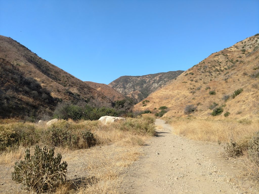
From the Skyline Drive Trailhead, we followed the paved road paralleling the wash. Although we saw tons of people in this first section, crowds eventually dispersed over the first half a mile. The pavement also ends at 0.5 miles and a gate prevents further vehicular traffic.
We followed the wide fire road another 0.5 miles to its first major bend and a sign pointing the way towards Tin Mine Canyon. From here it was single track and no sign of mountain bikers.
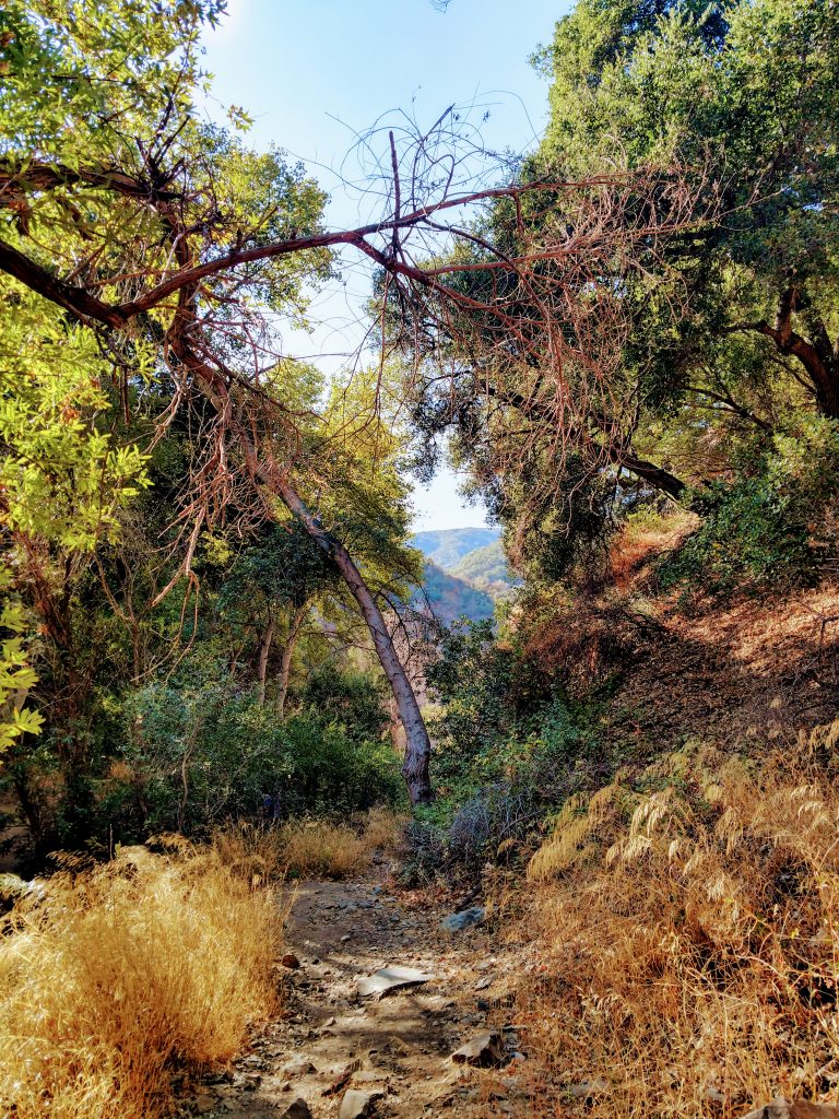
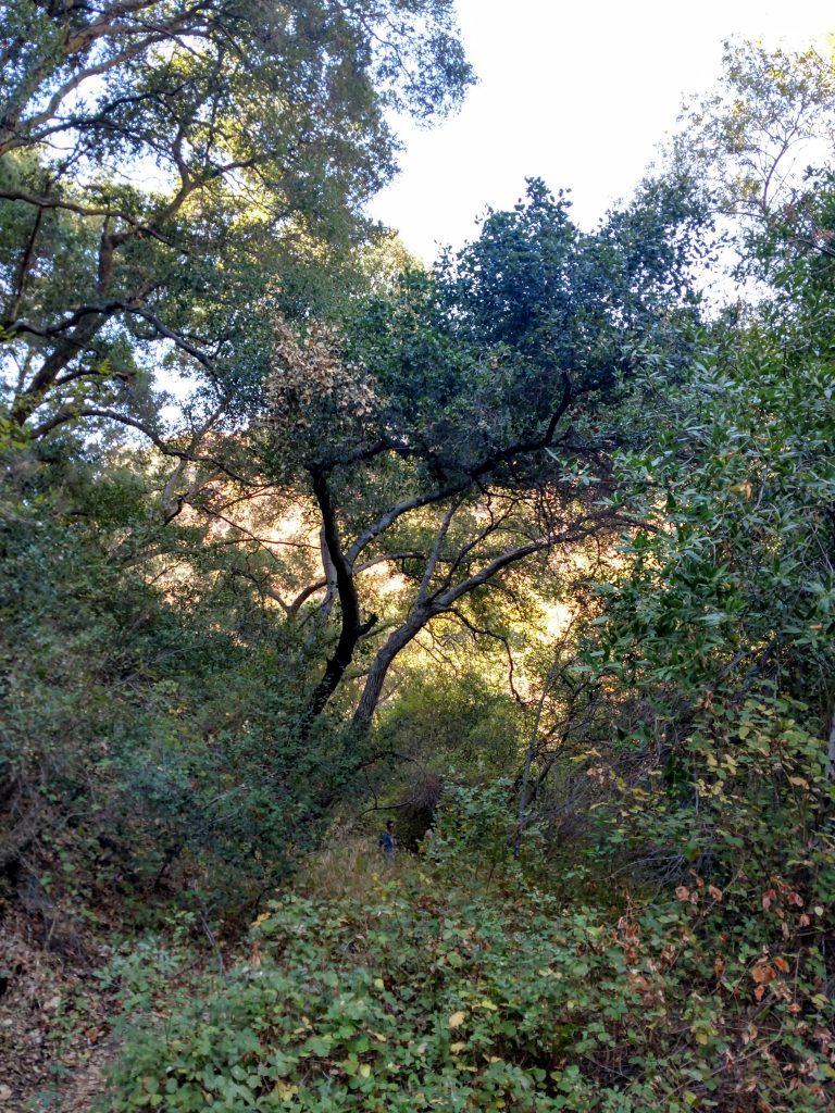
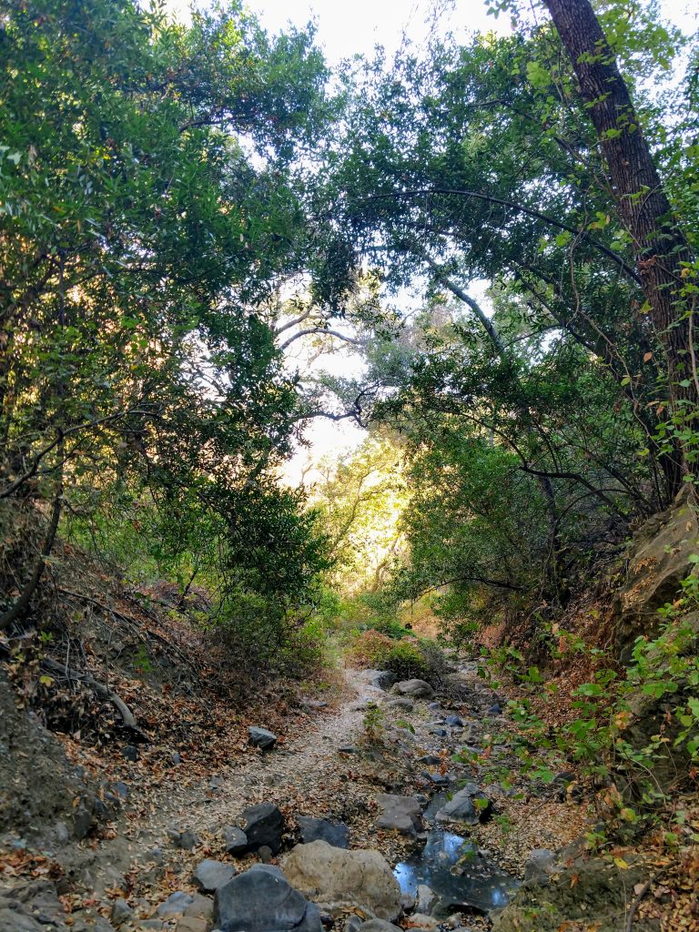
The next mile and a quarter are absolutely fantastic. Initially the canyon is broad and unshaded but becomes nearly slot-like after about a quarter of a mile. Shrubby chaparral gave way to a dense corridor of broadleaf forest. Obviously drawn to the rare water source in an otherwise bone-dry and rain shadowed east side of the Santa Ana Mountains. We felt a 10-15 degree temperature drop the further we explored into the canyon
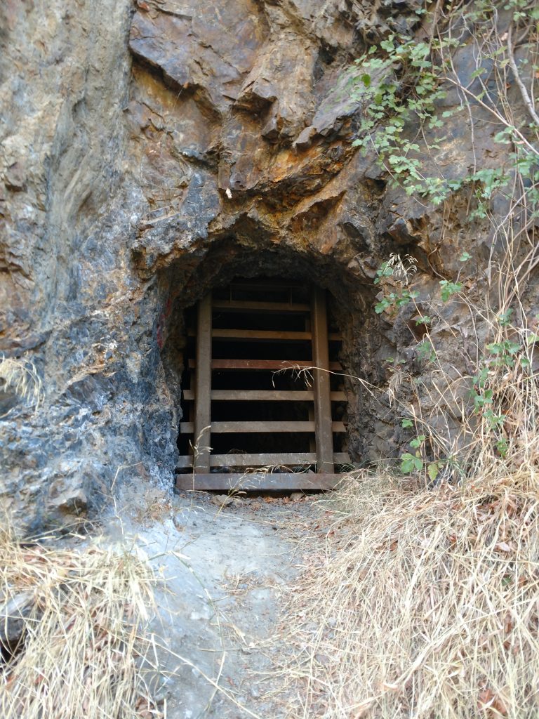
At about 1.7 miles from the trailhead, we found the tin mines, now barricaded to prevent exploration. Tin, as it turns out, is a relatively rare element for mining and there was a brief rush for it in Riverside County. It doesn't seem like anything really came from it but the mines certainly made their mark in the cliffs. The second mine was a fun scramble.
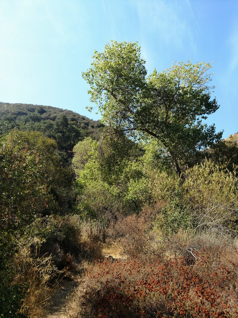
Tin Mine Canyon remains very narrow for the last 0.5 miles. Although the trail was mostly obvious, a few side trails permeated the wash/canyon. As long as we followed the path of least resistance, we made our way up the canyon without issue. Note there were a few sections of poison oak and long pants came in handy, even in the hottest time of year. Also, we noted plenty of water in the canyon, even in the late fall.
Roughly 2.3 miles from the start of the hike, we came to a sign simply noting the end of the trail. It was a good spot for lunch. We'd hoped we could travel further, perhaps to Beeks Place and then make a loop but this seemed quite hazardous after the sign.
We descended the same way we came with a total hike time of about 2 hours and 15 minutes. We thought it was a fantastic hike and well worth a second visit, perhaps in the Spring.

No Comments