


Plumas County was one of the last counties I visited in my travels across my adoptive home state. Its a lovely place with plenty of deep canyons, rivers and the Northern edge of the Sierras. Although much shorter than the Eastern and Southern Sierras, they are far less traveled. On my recent road trip, I climbed the Plumas County Highpoint- Mt Ingalls.
Getting to Mount Ingalls
This is a drivable high point but driving all the way requires high clearance and 4x4 skill. Most do a combination of hiking and driving. My suggestion is to follow my map below but I'll provide some pointers.
Just a few things of note:
- Portola, California is the closest town to Mt Ingalls
- The drive to Lake Davis is paved.
- On the North Shore of Lake Davis, the road turns to good quality gravel
- The roads up until about 2 miles from the summit are generally good but high clearance is recommended
- The roads are obviously very confusing, bring a paper map as Google Maps is not reliable in this part of California
- I eventually just pulled off to the side of the road and hiked.
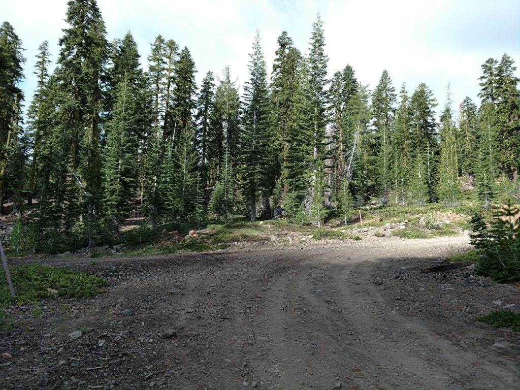
Here's a few photos of what I encountered:
The Mt Ingalls "hike"
I anticipate most are like me and reach a clear limit of what they're comfortable driving and walk the rest of the way. I got a little lost so my starting point was a little different (see map above). However, most park their cars here (follow link for google maps GPS location)
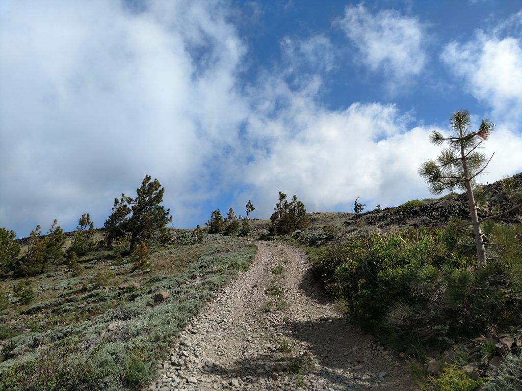
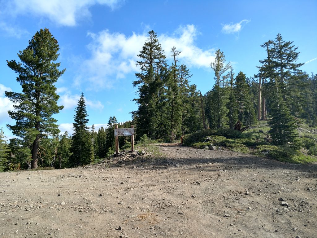
At this fork, the road heading in a roughly Northwestern direction is steep and dusty. Its an easy hike but kind of sketchy for less capable drivers. At any rate, I walked this 0.6 miles with a 340' gain. At the saddle, there was a sign and clear road leading to Mt Ingall's summit.
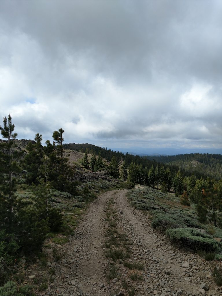
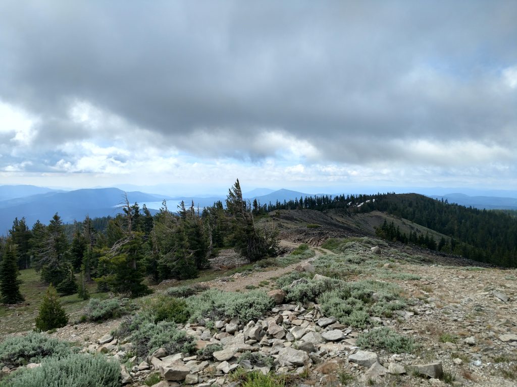
It was another 1.1 miles (one way) from the saddle to the top of Mt Ingalls with another 550' of gain. This part was also steep and definitely 4x4.
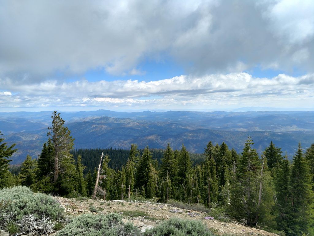
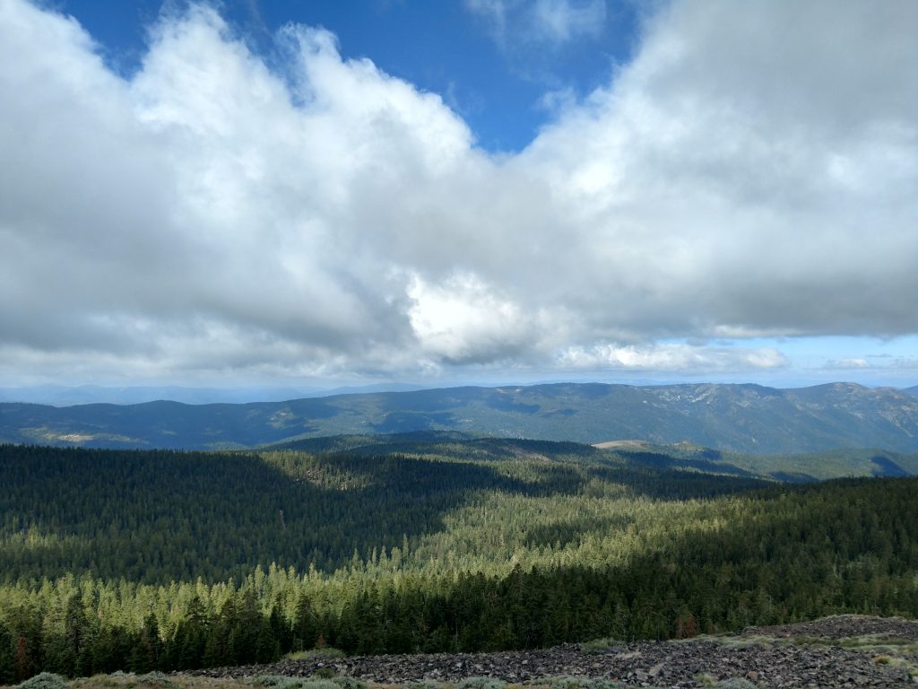
The summit itself was bare and had panoramic views of the Northern Sierras. On my hike of Mt Ingalls, it was cloudy, windy and cold but I still saw all the way to Mt Lassen, almost 60 miles away. Several other lesser known summits were visible as well including Dixie Mountain, Mt Adams, Hot Springs Peak and the Sierra Buttes.
From the summit, I simply retraced my track back to my car. I didn't see anyone the whole time except for one group of folks searching for ginseng; I didn't know it grew out west.
Mt Ingalls was a nice hike for the area but I much preferred the Gold Lake Highway, not far from here.

No Comments