


Otay Mountain is a large summit just East of Chula Vista and San Diego. On most clear days, you can see the summit from much of the metro area. However, its in a relatively rural area and gets comparatively little visitation compared to similar summits in the area. I thought it was the closest true summit to the international border but that honor belongs to Tecate Peak, nearby. Its prominence attracted me and I had no trouble summiting in the late fall.
Otay Mountain Overview
This is not a lofty summit, notching at 3,566'. Its one of the shortest mountains on the California Mountains with 2,000' of topographic prominence. However, by that definition it is rather isolated and imposing compared to surrounding summits.
There's no official trail to the summit; the only access is through a dirt road and access road to the radio towers on top. Land surrounding the mountain is mostly private except for the Otay Mountain Wilderness. There's no fee or known access issues (other that dirt road driving) preventing a successful hike.
A word of caution: As you might know, Otay Mountain is very close to the international border. Its heavily monitored by Border Patrol and you're almost certain to run into several agents who will likely ask what you are doing; you shouldn't run into any trouble with them as long as your hiking. I don't recommend going up this area at night. There are known hotspots of covert crossing and I ran across a few people being apprehended;
Driving Otay Mountain
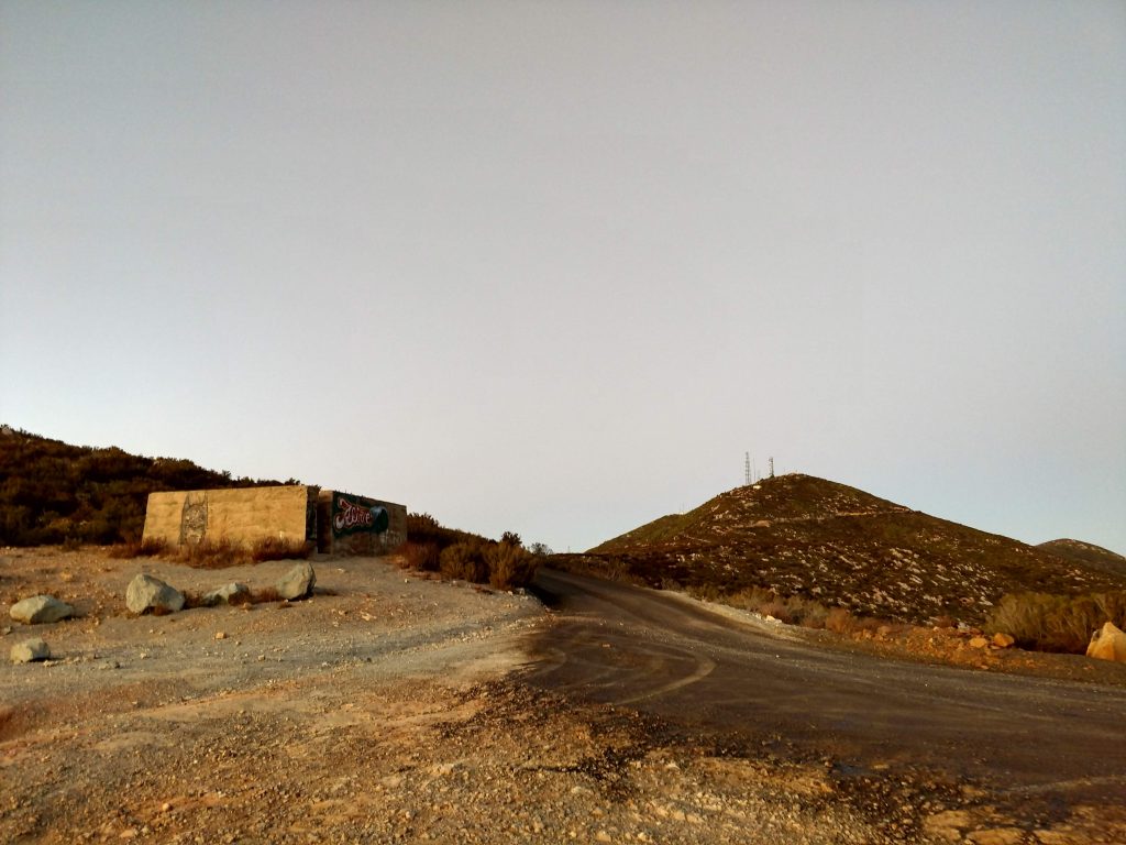
Because there are no official hiking-only trails, most who visit simply drive to the top. I came in November of 2019 and found the North access point by Pio Pico Campground fairly discrete. Although there are no signs pointing the way to the top, Google Maps got me most of the way there by simply plugging in the summit as a destination.
The road itself is dirt, prone to washouts in the winter but is in generally good shape. I imagine most people who are comfortable driving dirt roads wouldn't have a problem. Low clearance sedans and other vehicles might have some trouble but I doubt it. I had no trouble in a standard SUV.
I don't know if this is true but the Border Patrol told me there was a gate preventing access from the West near Otay Mesa. They could have just locked it because it was the end of the day, however I'd hate to drive all the way to the wrong side of the gate to find its locked.
How I Hiked Otay Mountain
Feeling like it would be a shame if I simply drove to the top, I instead took the road about 5 miles in and found a place to mark near "Doghouse Junction". I have no idea whether Doghouse Junction means anything to the locals or whether its just some lore from Google Maps but I found a nice clearing and parked well off the side of the road.
Here's a map of what I did:
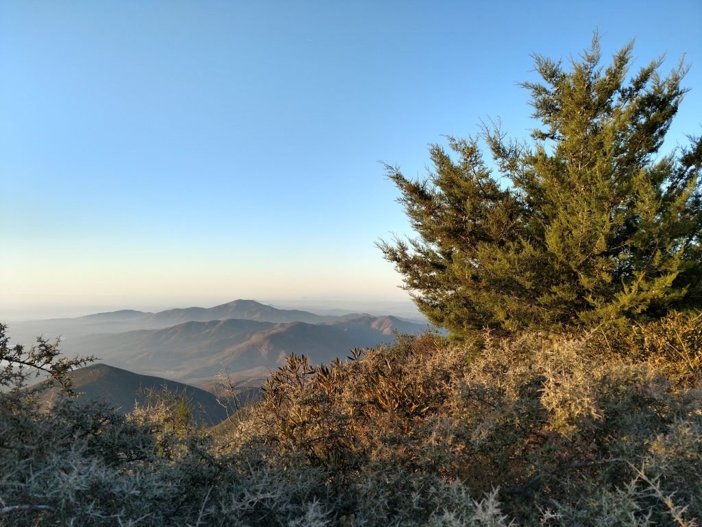
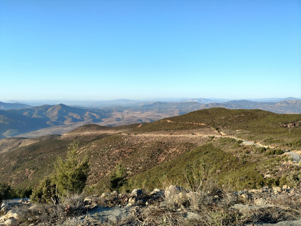
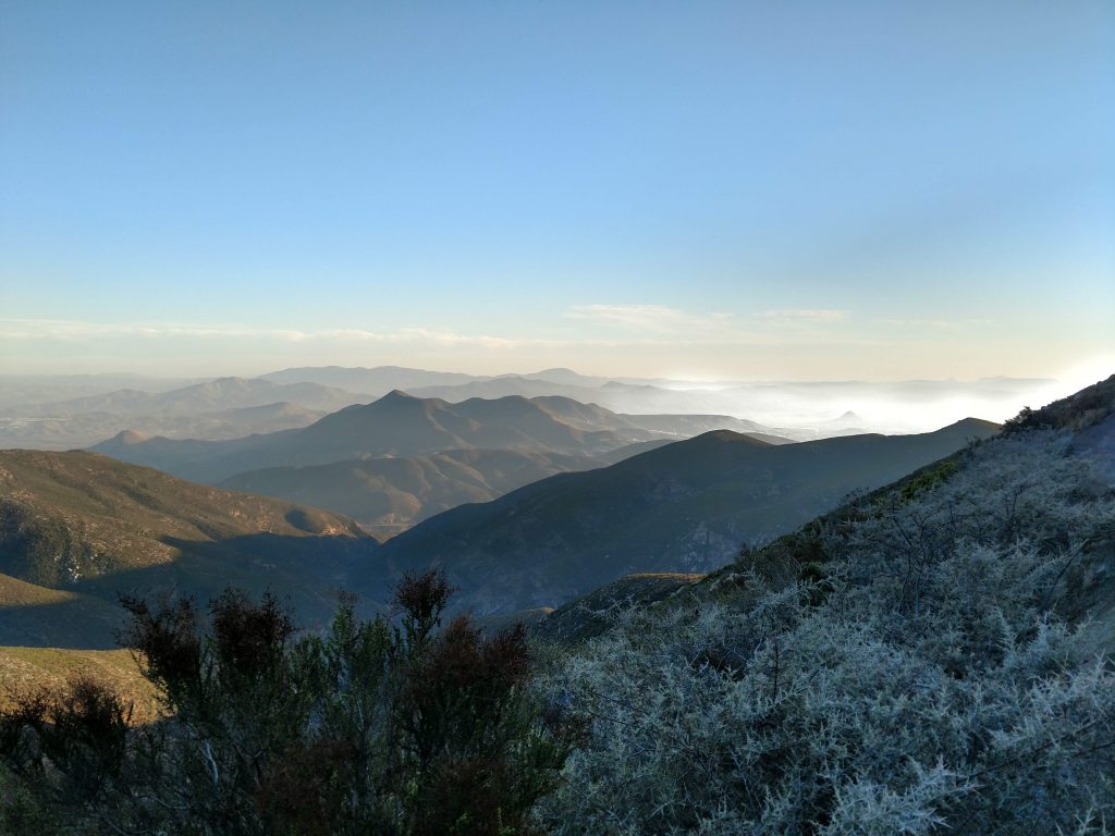
Although it was basically a 1.3 mile road walk to the summit from here, I found it terribly interesting. At these higher elevations, there's stands of rare Tecate Cypress trees which are found here and a few other mountains in the immediate vicinity. The scrubby chaparral was very thick, no doubt fed by winter storms which are just slightly wetter at these altitudes. To the East, I saw where the California-Mexico deserts begin. Also, I had fantasic views of Tijuana and the border.
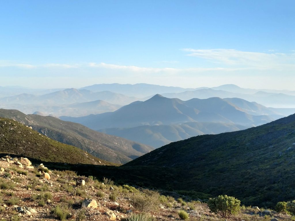
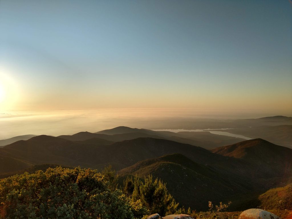
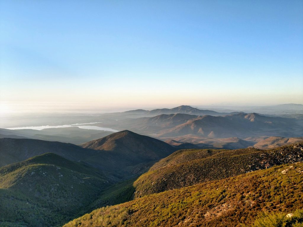
The road circles the Otay Mountain's southern side before an un-gated, paved side road leads all the way to the top. From there, I had an extraordinary view all the way to the Pacific and the transnational metro area of Tijuana-San Diego. Sunset brought the marine layer in which made the place feel like an island.
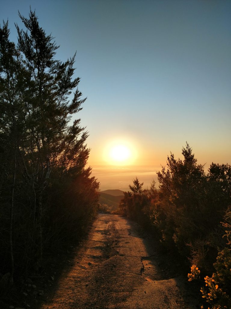
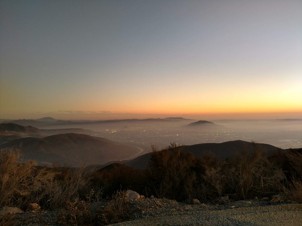
I searched around the top for evidence of a summit register and found none. So, I simply lingered, watching the sunset and enjoying the novelty of having hiked a mountain on the international border. I encountered only one other person who drove their truck to the top.
After sunset, I made my way back to the car. The hike only took about an hour and a half. However, if you want a real challenge, some people hike Otay Mountain the way from Pio Pico Campground which would be a 12 mile round trip with little shade. I preferred my easy method!

No Comments