


So I'm on a county high pointing kick now (just hiked Hot Springs Mountain in San Diego County a week ago). I think its because we've officially entered the wintertime season and the higher Sierra summits are inaccessible for a while until we get a solid snow-pack. So, that leaves the still beautiful but rather modest (by altitude standards) Bay Area summits. I started this low-season out with a hike of Mt Vaca on Thanksgiving day.
Mt Vaca Overview
County highpointing is the absurd pursuit of climbing the highest mountain or point in a county. People usually do them by state. California is a fun one to start out on because the summits are so variable; from the highest, most technical Sierras to slightly elevated hills. Thankfully, baring a few exceptions, most are open to the public.
Mt Vaca is significant in more ways than being the highpoint of Solono County. It stands at 2,818', in an area that's mostly sea level. At a prominence of 1,915', it rises high above the surrounding terrain and you've probably seen it if you've driven I-80 from SF to Sacramento. Turns out there's a road to the top but I decided to make it a hike.
Getting to the Trailhead
I think its possible to simply drive to just about the summit of Mt Vaca but the place people start the "hike" is located here (google maps link). Plug that into your navigator and you'll get there no problems.
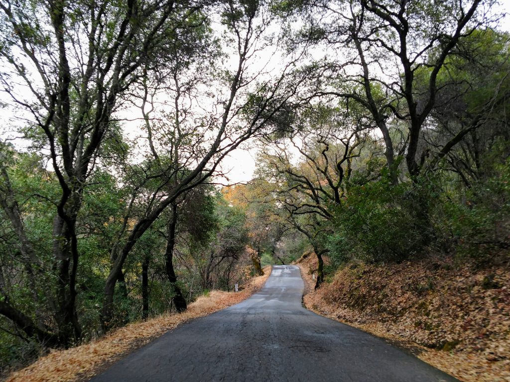
There's a few things to note about the route. First, though its not far from Vacaville, most of it is in the country. There aren't any services once you leave I-80. The main road up to the trailhead is Mix Canyon Road. Its paved the entire way to the ridgeline and should be accessible by essentially any vehicle. However it is very steep. Also, it goes through residential areas so be polite.
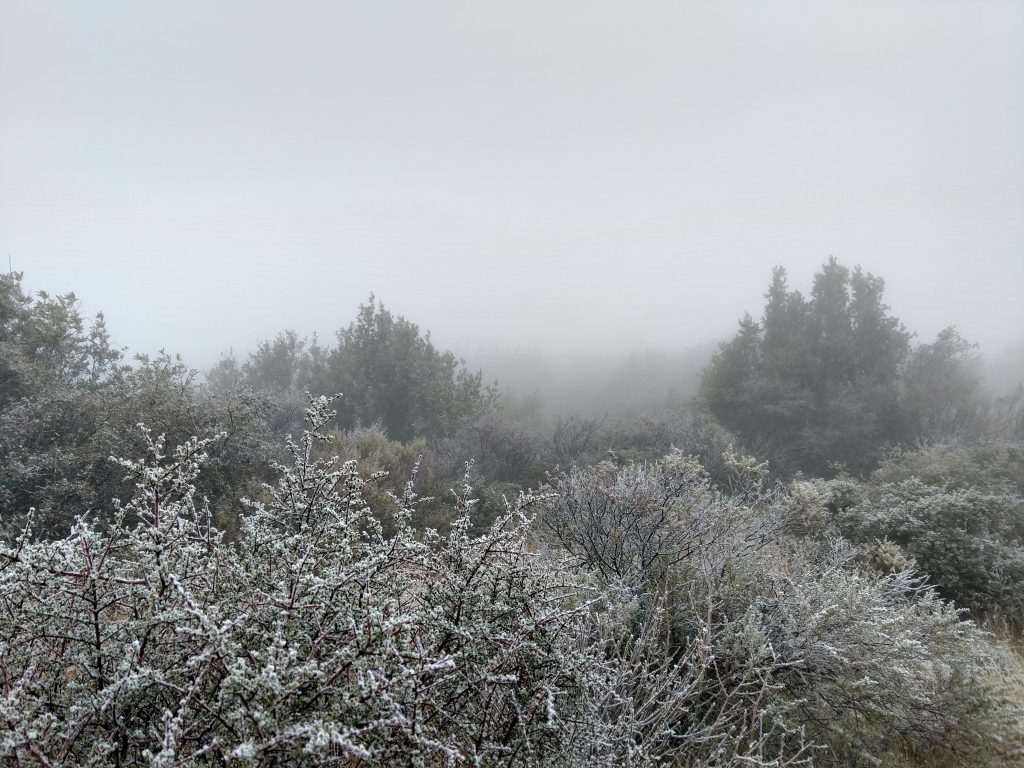
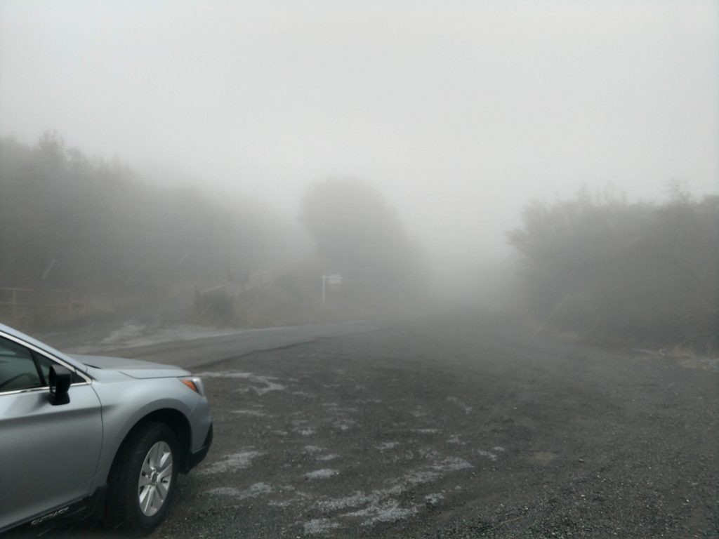
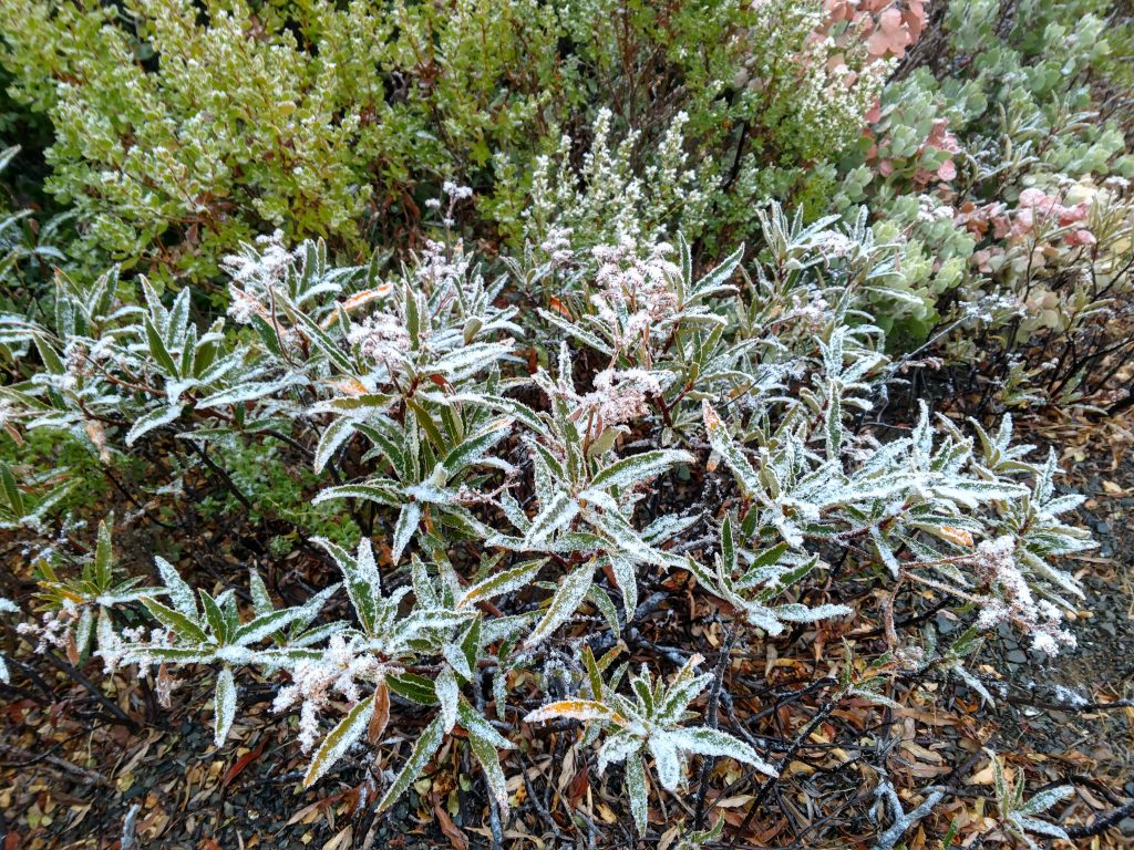
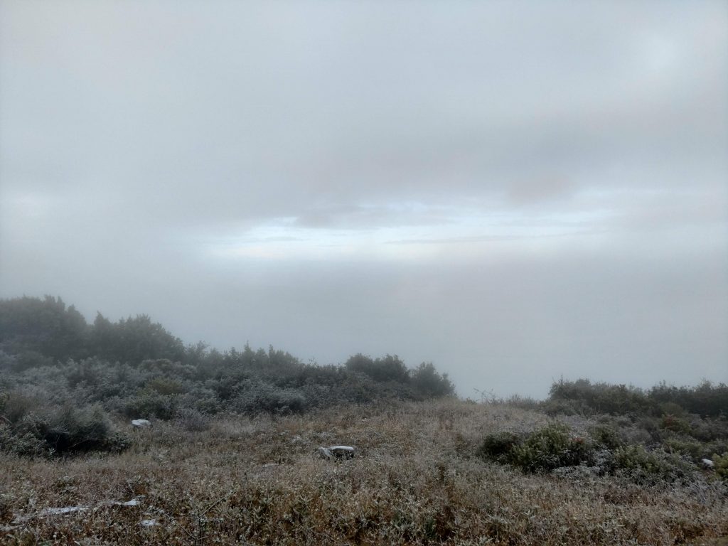
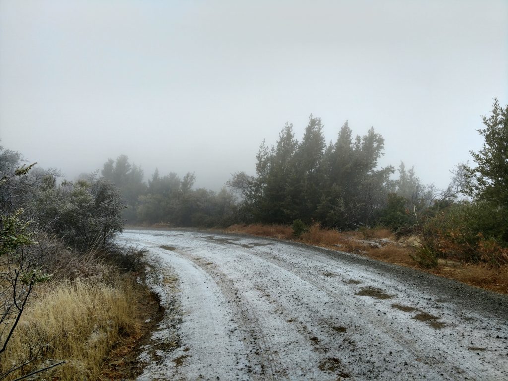
Note that when I came during a storm in the winter, there was definitely a dusting of snow at the top; I doubt it ever seriously accumulates but be prepared just in case. Here's a map of my route from the trailhead:
Hiking Mt Vaca
At the place I parked, the road splits in a "Y" shape. To the left, there's a gate that was open when I was there. I simply followed this road about 0.9 miles to the summit. It's about a 250 of climbing which is hardly noticeable. It took about an hour for me to hike the whole thing
Google Maps curiously leaves off the road that actually goes to the summit which confused me in the fog. Make it easy for yourself by simply following the most well-beaten road to the very top.
The top has relics of a bygone era and looks a little haunted. Although clouds and snow obscured Mt Vaca's otherwise fantastic views, I caught some interesting pictures.
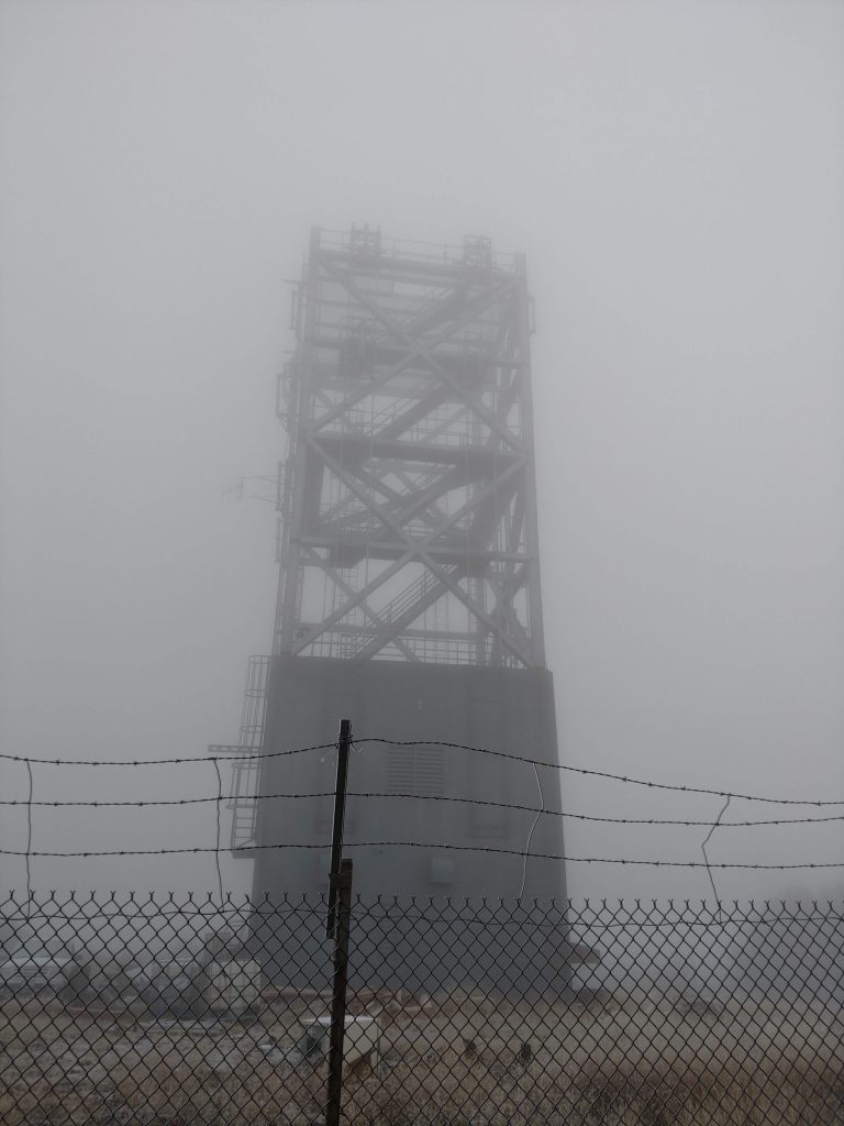
I searched but found no summit register at the top. For those particular about getting to the exact high point, I found it on the far side of the tower, adjacent to the road.
Although it looks a little haunted, the area on the road and near the summit is public as far as I know. I didn't run into anyone that day (can't imagine why with the beautiful weather).
Well that was a pretty easy and interesting high point! I hope to bag the more difficult summits North of here over this winter. We'll see how snowy it gets this year.

No Comments