


This is one of those posts about an obscure place I explored and probably won't get much traction. Located in a remote part of San Mateo County, this hike in Purisima Creek Redwoods Preserve is a fun spot to explore the higher summits of the Santa Cruz Mountains. Seldom explored and remote by San Mateo County standards, I suppose those are the main reasons I came and decided to dedicate a post to it. .
Getting to Bald Knob's Trailhead
If you plug Grabtown Gulch Trailhead into Google/Apple Maps, you'll likely get there without issue. Most routes from Silicon Valley locales take you up to Skyline Boulevard and then down Tunitas Creek Road. Note Tunitas Creek road is very sinuous and one-lane; not a great road for wide clearance vehicles.
Hiking Bald Knob
This is a 3.9 mile hike that is fairly straightforward except for the very end. Like so many hikes in Purisima Creek Redwoods Park, you start with a big descent leading to an ascent.
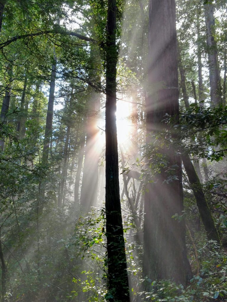
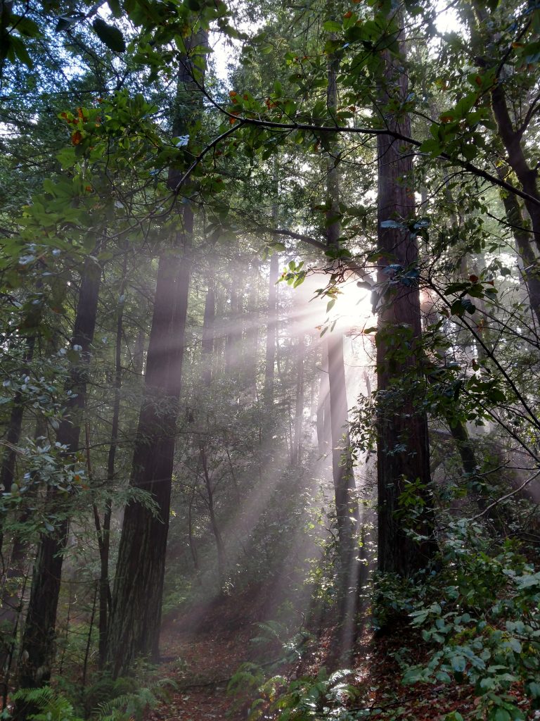
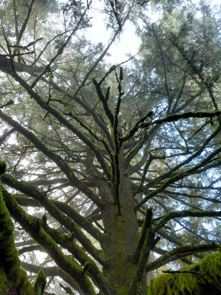
From the parking area, take the one trail, Grabtown Gulch Trail down about 0.4 miles. This is a fire road and it weaves through patches of Douglas Firs and Redwoods; a fantastic start.
At 0.4 miles take a right on to Borden Hatch Mill Trail and follow it for 0.2 miles. Cell phone coverage becomes spotty after this point
After 0.2 miles on the Borden Hatch Mill Trail, there's a fork with a smaller, side trail marked as Bald Knob Trail. There's two ways of proceeding from here
The Easier Option
There's a few ways to get to the summit on the Bald Knob Trail. The (much) easier way is to take it for 1.2 miles to the next intersection. With this option, the trail actually bypasses the summit on the South side and then there's an unmarked but very clear trail approaching the summit from the west side.
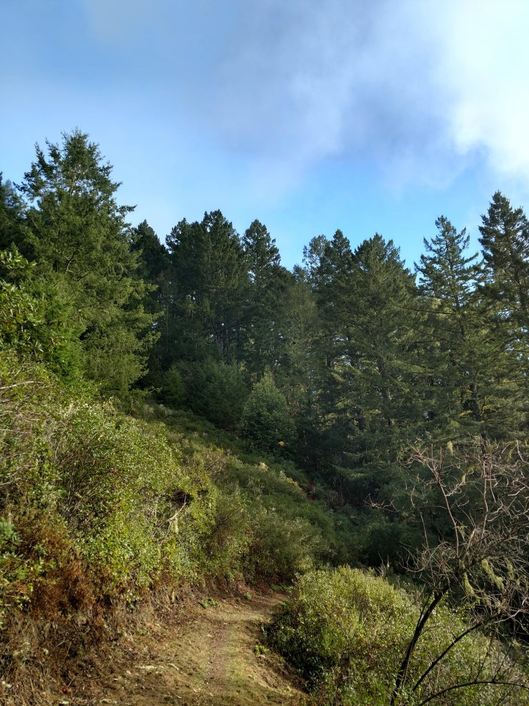
At 1.2 miles from the intersection, keep an eye on the right for a metal gate. Follow a clear path through the woods from the gate to the summit; its about 1,000-1,100 feet. I found no evidence that this trail was closed or on private property.
The summit itself has a clear marker and no register. Its also not at all bald but there's some stately Douglas Firs at the top.
The Harder Option
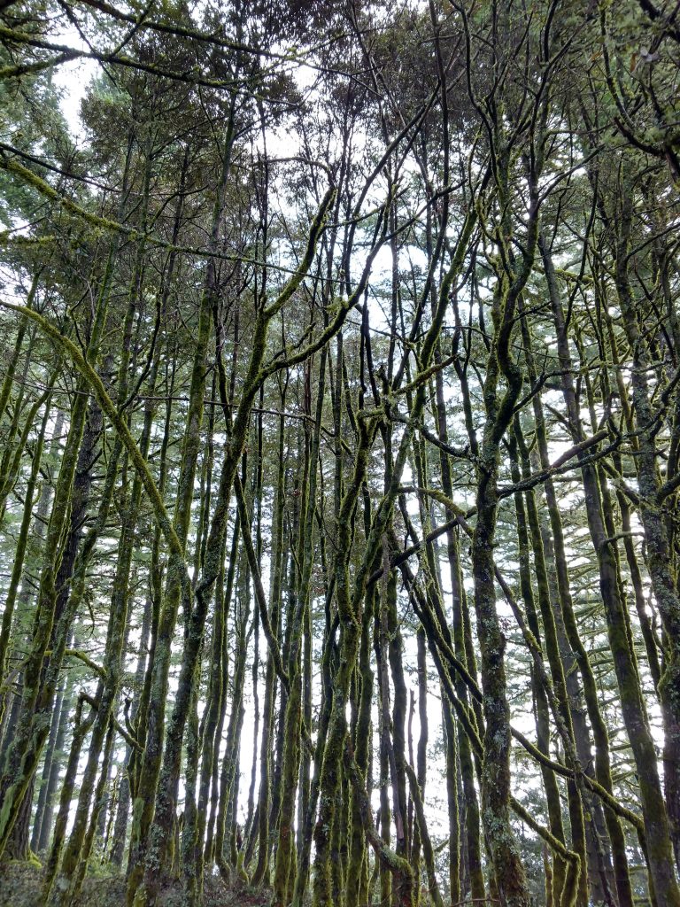
So I must have gotten bad beta on this one. At this point on the trail, which is about 0.7 miles from the junction with the Borden Hatch Mill Trail, I found a route to the summit. Most of the GPS tracks on peakbagger had this as the route to the summit but this has since become a miserable bushwhack.
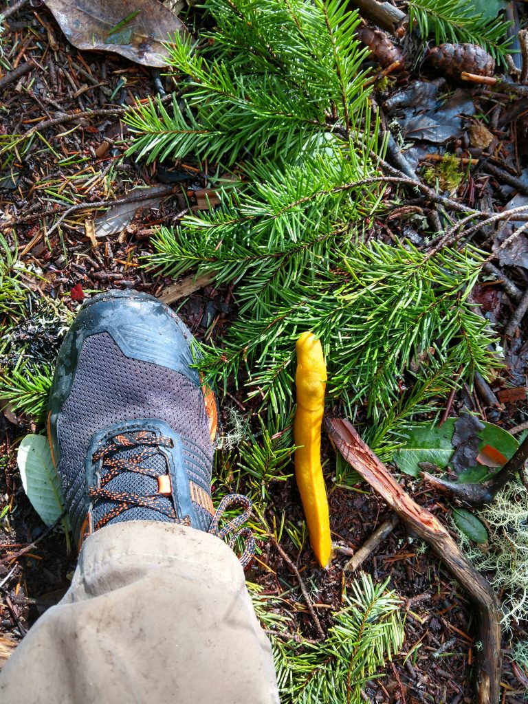
I don't recommend trying an approach of Bald Knob from this eastern route. Its clear there was a trail at some point but its long overgrown. There are some miserable sections of thick brush here. When I came to the summit and discovered the route on the western side, I laughed.
Oh well, lesson learned.
It took me about 2 hours to hike the whole thing; other than the bushwhack, some great photo opportunities of the foggy forest slowed me down.
So, hope those directions help if you climb this far flung summit. If you're looking for a more established hike in Purisima Creek Redwoods Park, try Long Ridge.

No Comments