


For those who follow the absurd pursuit of County Highpointing, Carpenter Hill serves at the highest point in Sacramento County. As I run out of options for State Highpointing (Only 7 left for me!), County Highpointing seems like a nice secondary goal. So, on one rainy day where weather prevented essentially anything else, I bagged this lofty summit.
Carpenter Hill Location
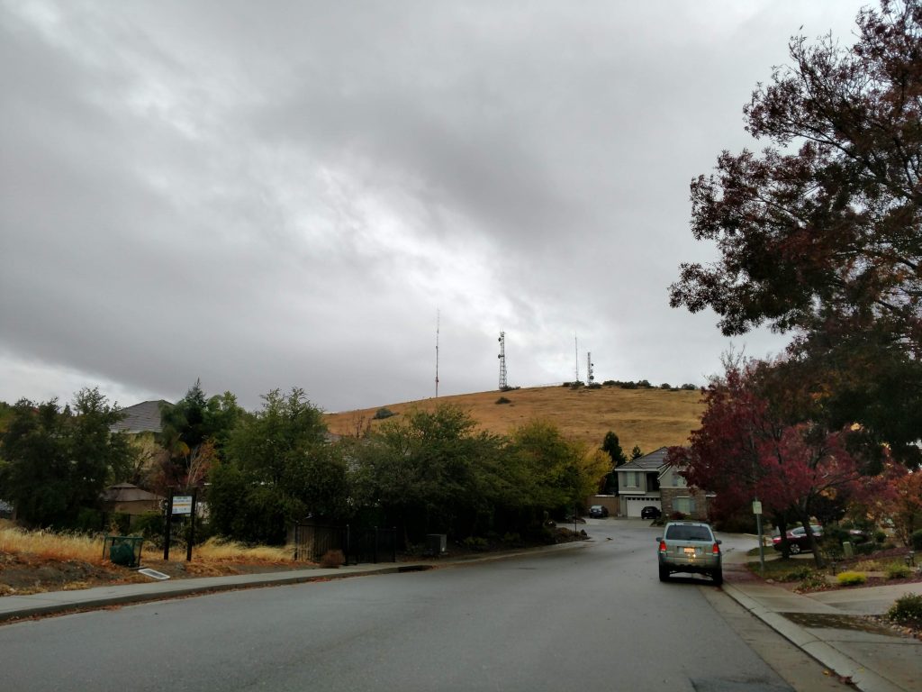
Located right on the boundary between El Dorado County and Sacramento County, Carpenter Hill/Carpenter Benchmark is the easiest county highpoint in California. The rest of Sacramento County is pancake-flat and this is the only point of any altitude other than sea level.
Its an easy drive from most of the area. Here's the GPS coordinates. The nearest landmark is Vista Del Lago High School and the nearest freeway exit is for Bidwell Street off of Highway 50.
I parked in a neighborhood nearby; here. As far as I could tell there were no parking restrictions and nobody gave me any funny looks. My "route" was as follows:
Carpenter Hill: The Hike!
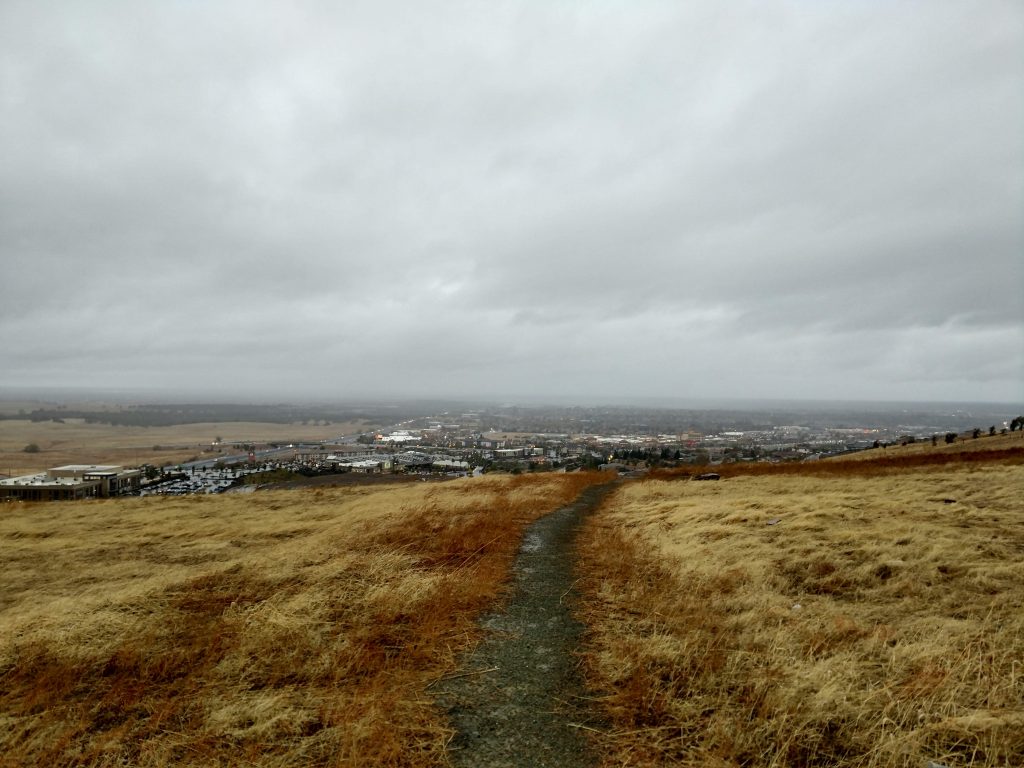
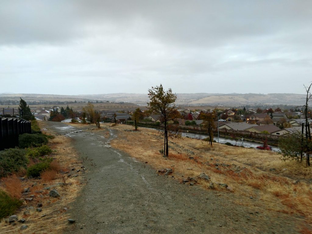
From where I parked, it took me about 15 minutes to climb up and down Carpenter Hill. I didn't find any signs or true trail so I essentially followed an open route paralleling Iron Point Road until I found a clear use trail
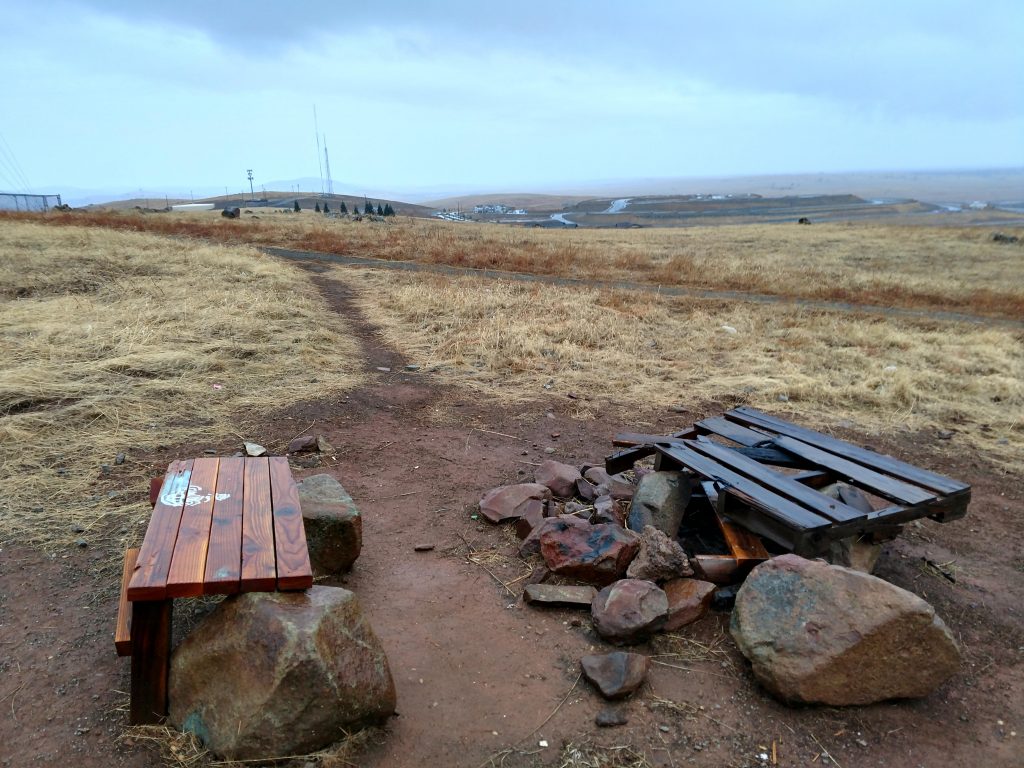
As I approached the numerous radio towers at the top, there were several small herd paths going in various directions. I also found a campfire site, curiously enough. I wonder if local kids use this area for sophomoric mischief and malarkey.
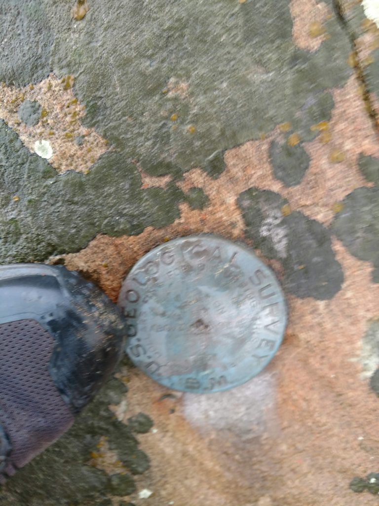
The actual benchmark is located towards the furthest radio towers, on a large rock. I searched for a summit register and found none, unfortunately. I guess its not worth most people's time.
Although only 831 feet in altitude, the views from the top were expansive. Most of the central valley around Sacramento was visible, as was the skyline of downtown. Were the weather more clear, I'm sure I could have seen to Mt Diablo and the coastal ranges.
I followed my obvious route down the way I came and was back to the car in no time. For a state with county highpoints well past 14,000', Carpenter Hill was an interesting find.

No Comments