For those who have been following my website long enough, you might notice an inordinate number of posts on El Paso and West Texas (especially considering my Northern California base). Our family has deep roots in the lower valley, and we have a long-running annual tradition to gather here in January. Naturally, I am also drawn to the beauty and wonder of the Franklin Mountains, El Paso's famously expansive public land. Every year I stumble upon something new and this year I hiked El Paso's Thunderbird formation. Here's some background and information on the hike.
Background on the Thunderbird, El Paso
Thunderbird is a relatively common appellation within El Paso. Coronado High School's nickname is the Thunderbirds. It's also a somewhat swanky neighborhood surrounding Coronado Country Club. I simply never knew it was an actual rock formation until I happened upon the trailhead. After discovering this, I completed a rigorous and completely scientific survey of several residents and nobody had heard of the Thunderbird Formation either.
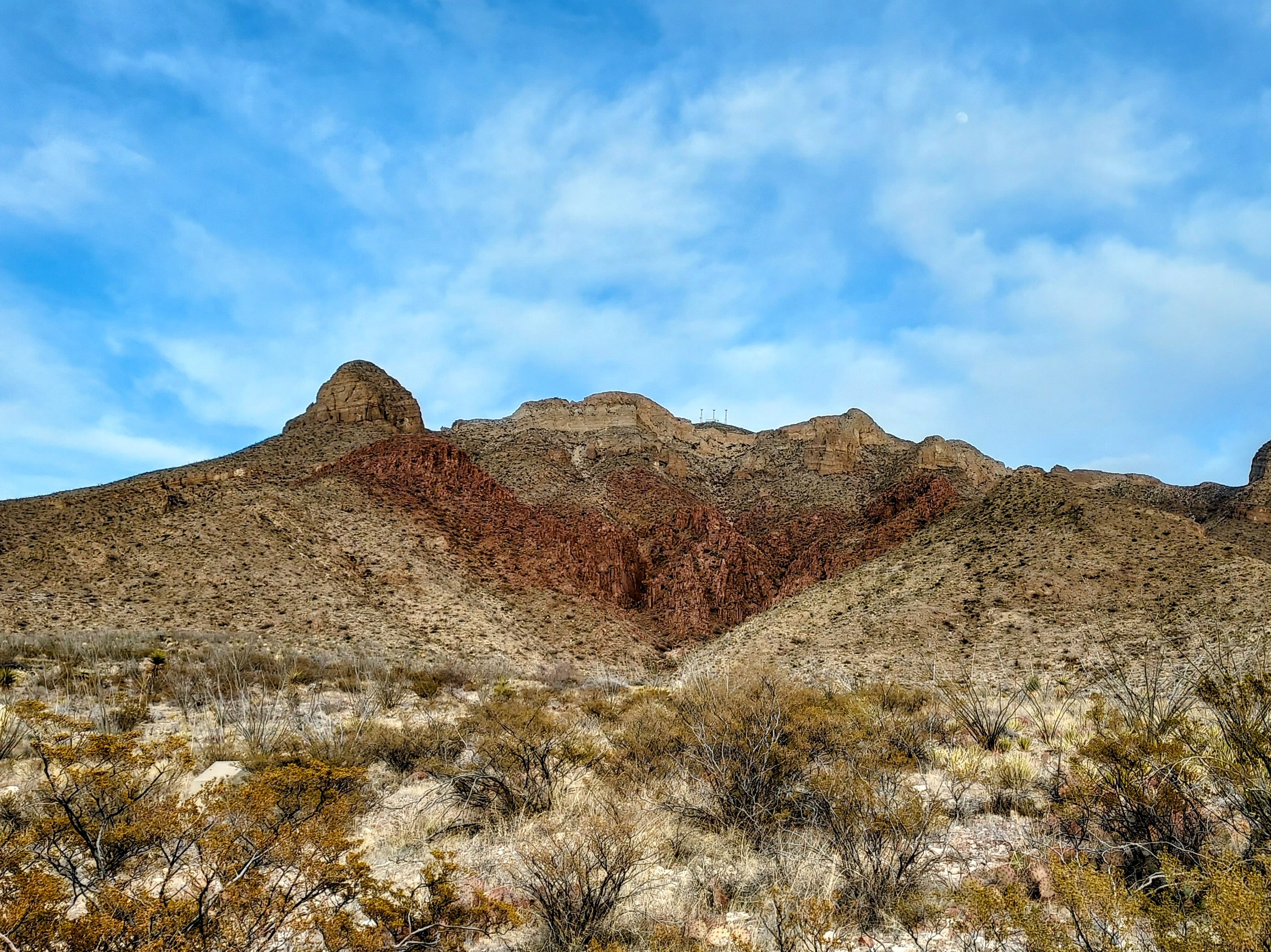
As it turns out, the formation is a striking resemblance to the legendary creature. A rust-colored rhyolite visage rises below the summit of South Franklin Mountain, becoming particularly conspicuous at sunset. Despite years of gazing at the Franklin Mountains, I had simply never noticed it.
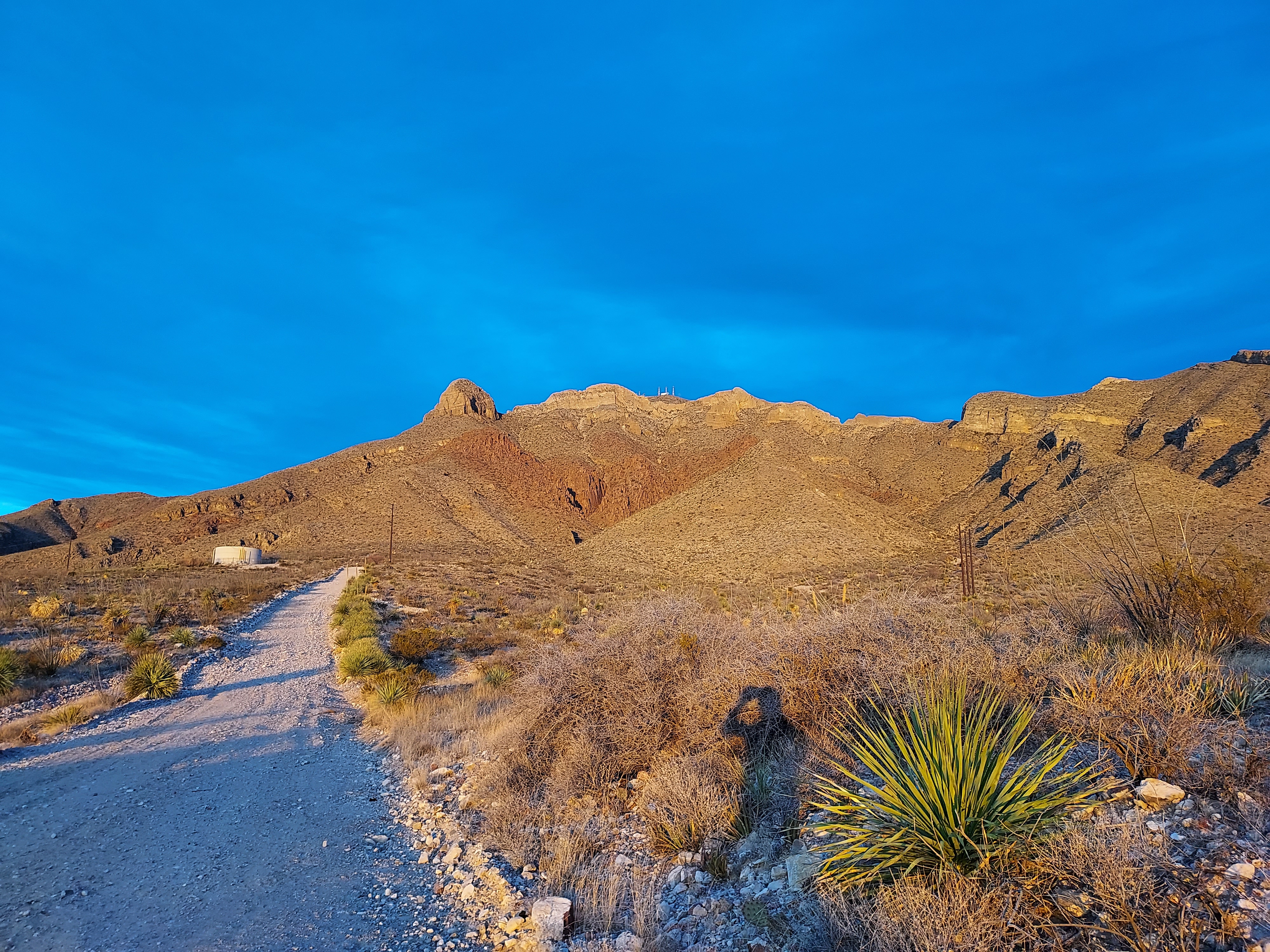
The geological forces which created the Franklin Mountains are certainly well-covered by the state park and numerous publications. But the combination of tectonics and volcanism have certainly lead to a beautiful aesthetic which continues to draw me to the range.
The Thunderbird Trail
This is a 2 mile out-and-back trail with about 600' of elevation gain. It takes about an hour. There's almost no signage so best to bring a map or GPS. I consider the trail easy but its loose and steep; best to be surefooted. I recommend hiking at sunset for the best view of the El Paso Thunderbird.
The Thunderbird Trailhead is fully public though not exactly broadcasted as much as more well-trodden trails in the Tom Mays Unit or the Tin Mines. Use your preferred mapping app to get to this point. Google maps got me there fine. The parking lot is well marked and has spaces for 16 or so cars. There's water fountains and a playground for good measure.
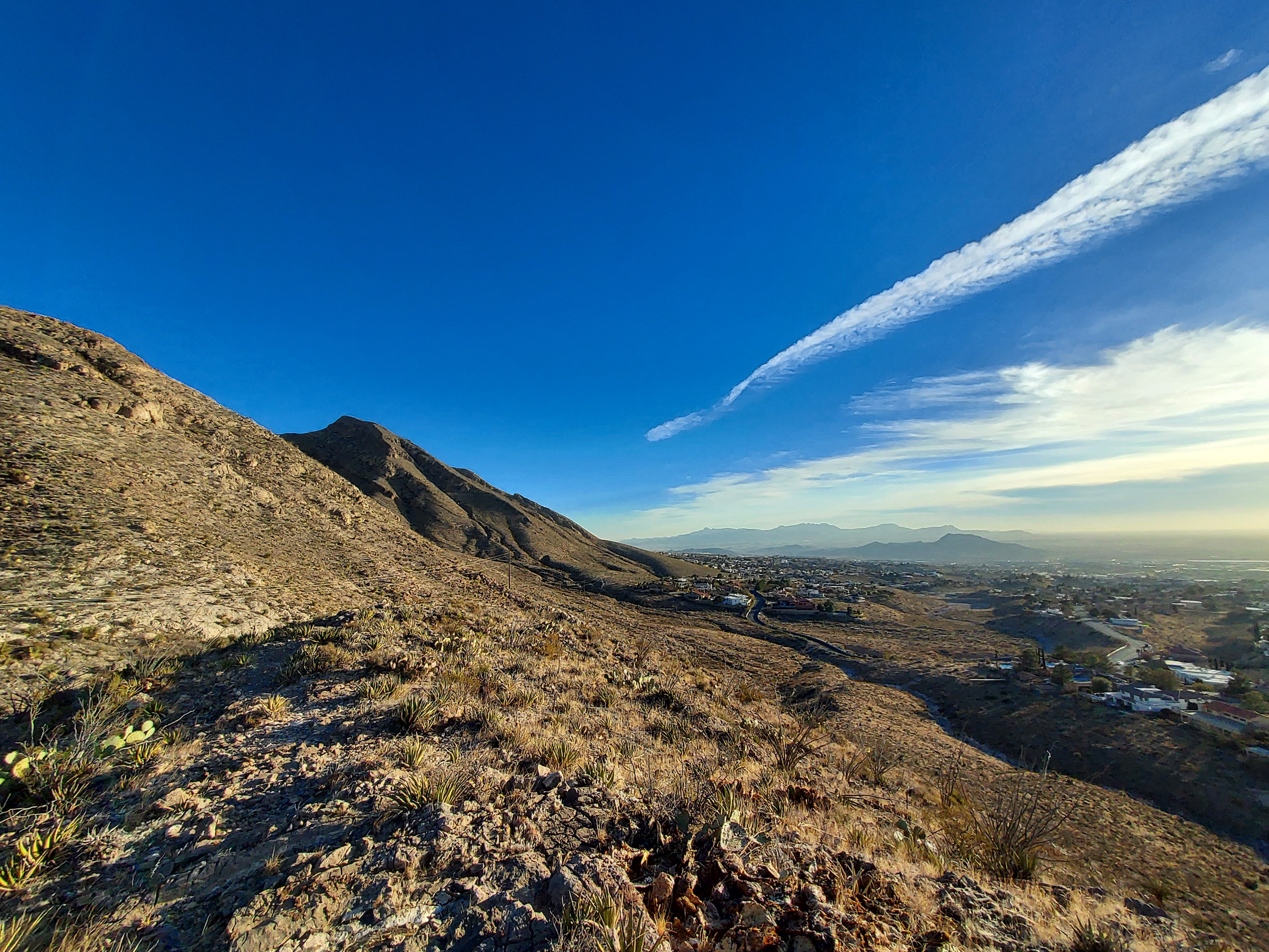
The trail departs towards the mountains from the parking lot and crosses a concrete channel. There's a nondescript sign pointing left and the trail goes behind the water tanks. For about 1/4th a mile, the trail parallels the mountains and crosses a small arroyo. It's a little ambiguous in the arroyo any many different paths exist. All these paths intersect with a dirt service road heading in a near straight line to another large water tank. Along the way, there's great views of the formation.
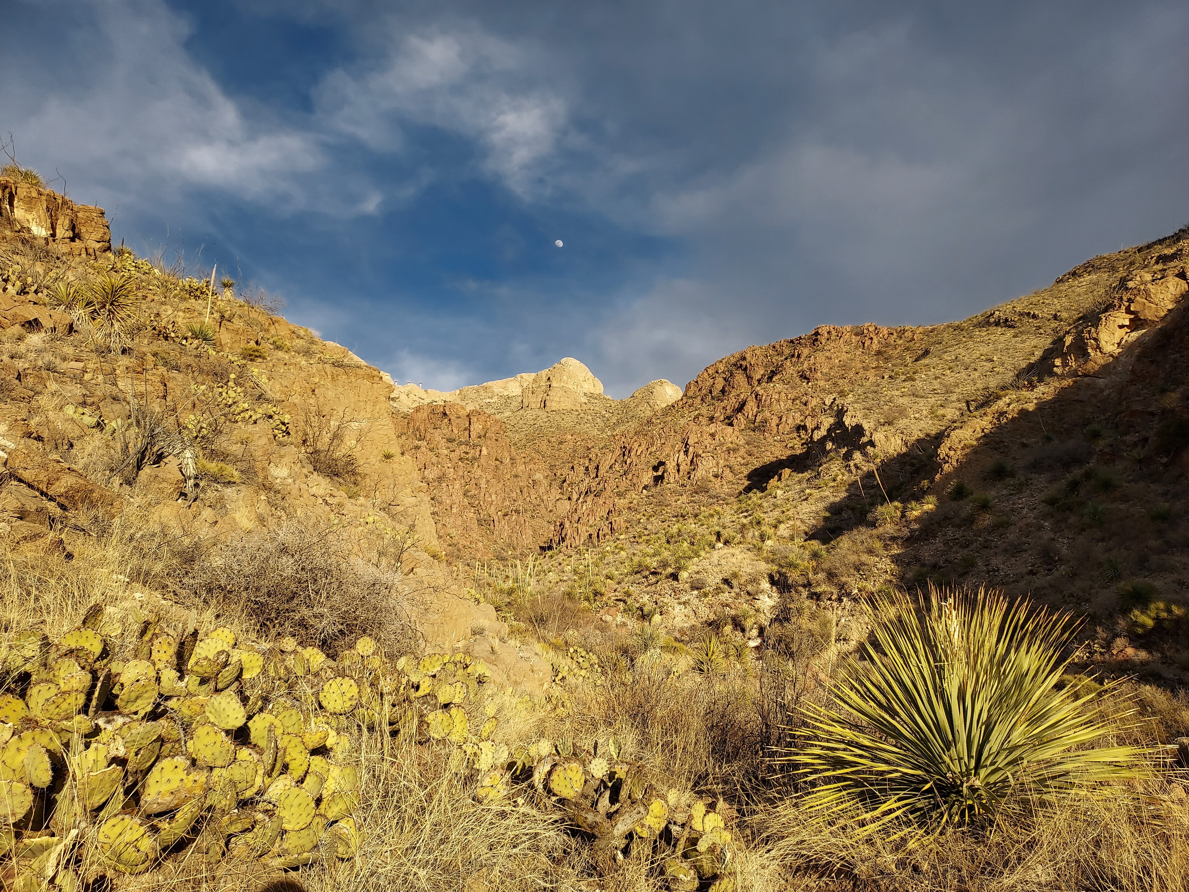
The trail to the canyon continues past the water tank and towards the mountains for another 1/4th of a mile. From there, a herd path leads from the end of the maintained trail into the canyon. The walls become increasingly precipitous and the gorge narrows the further you go up. I thought this was the best part of the hike - felt almost like a slot canyon in Big Bend.
There's no formal "end" of the trail - I basically hiked as far as I had time for. At a little more than a mile from the trailhead, the trail reaches a confluence of canyons that becomes more of a lose scramble than hike. I recommend not going past this point unless you're interest in rock climbing (which exists!)
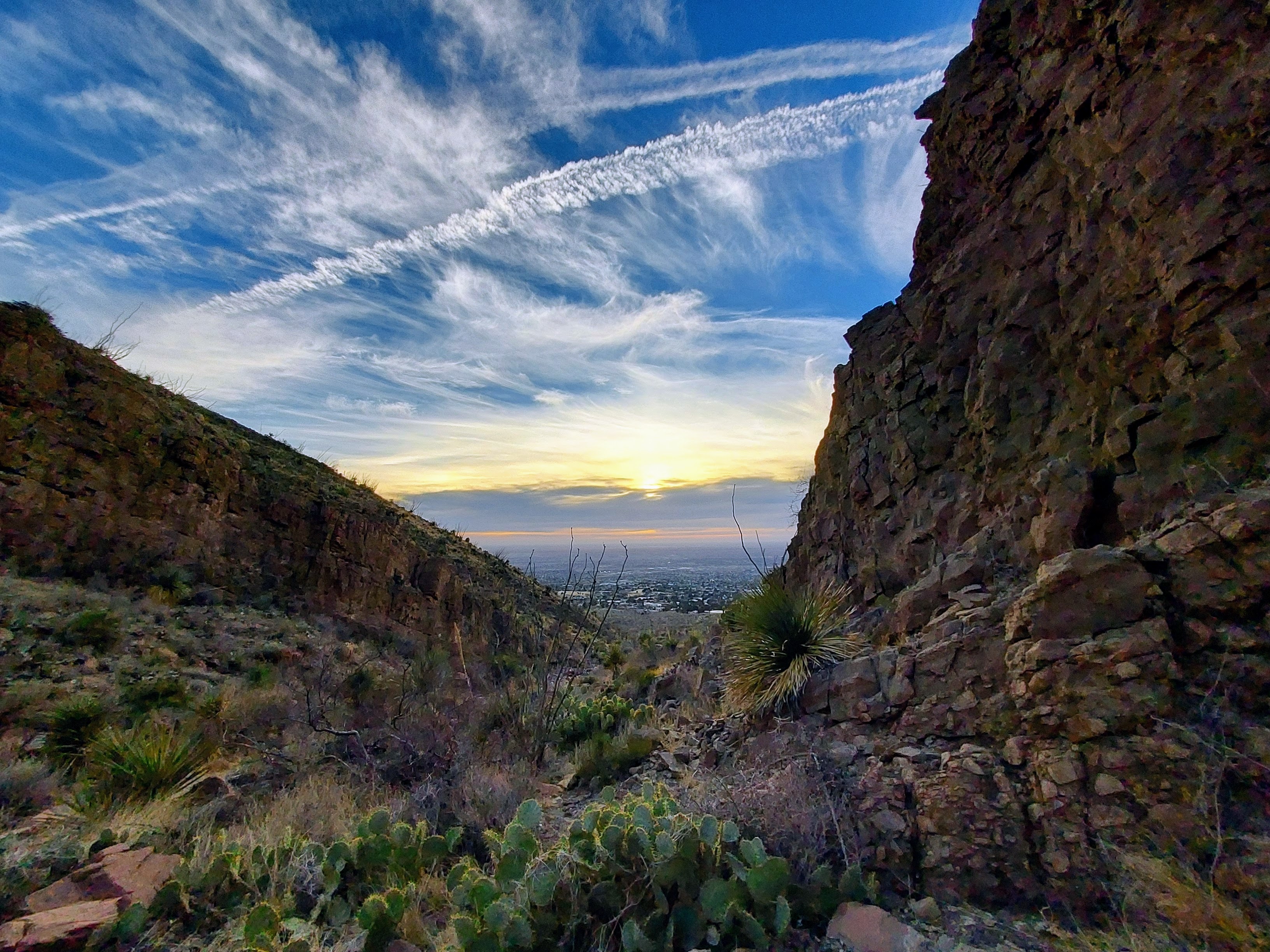
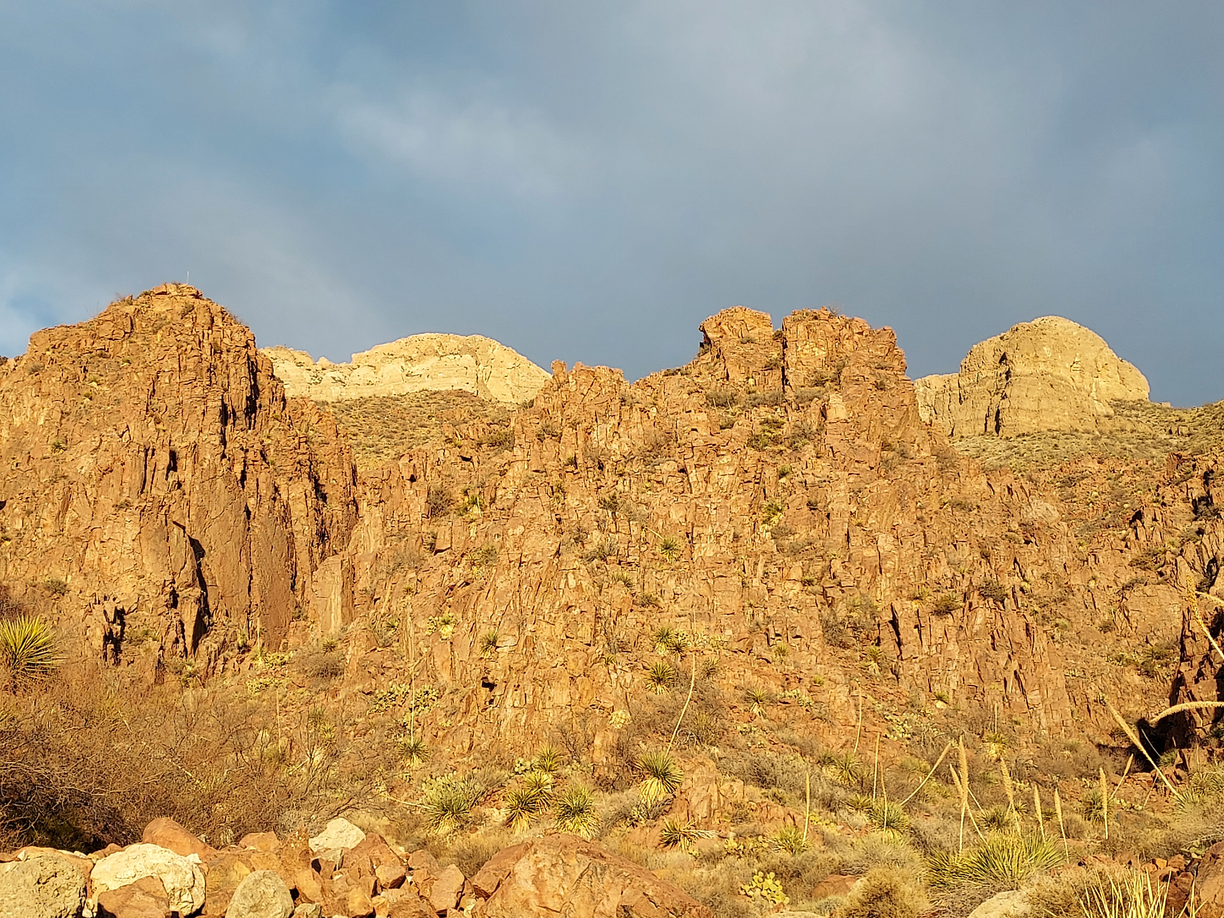
I returned the way I came and didn't have trouble with routefinding. Altogether, it's a great, short hike with a phenomenal view of El Paso's Thunderbird. The Franklins seem to have an inexhaustible supply of trails for me to stumble upon and I'm glad things still feel new.


No Comments