


After climbing Round Top, I camped out in one of the many free primitive campgrounds near Carson Pass and set my sights on Hawkins Peak. Its a major summit of the Lake Tahoe region, ending up on the Tahoe Ogul List and the Western States Climber List. Hawkins Peak has an impressive profile from afar, culminating to pluton-like summit. Although it looked imposing from a distance, its an easy 1/2 day hike with some modest class II scrambling.
Getting to Hawkins Peak
There's no real trailhead to speak of for this peak. The trailhead is essentially the closest spot you can drive your vehicle to the summit.
From all directions, drive to the intersection of CA-88 and CA-89 near Carson Pass. There are not many services nearby. If coming from the west, turn right on Burnside Road, an obvious dirt road departing from the intersection. If coming from the Tahoe area/North, simply drive through the intersection as if CA-88 was now dirt. Set your odometer and drive 4.8 miles up this road.
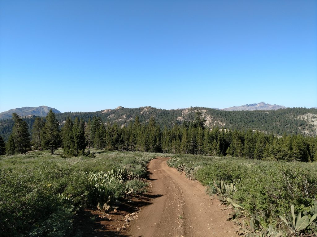
Burnside Road is a generally well-maintained forest service road that eventually goes to Burnside Lake. There's extensive drive-in but primitive campsites along this road- nice for us who appreciate free camping.
At 4.8 miles from the intersection, there's an obvious flat area at the saddle with plenty of parking. This is where I parked but those with 4x4 vehicles and the skill can turn left here and get nearly to the peak on the rough roads.
Here's a map of my drive and hike:
Hiking the Dirt Roads to Trail Turnoff
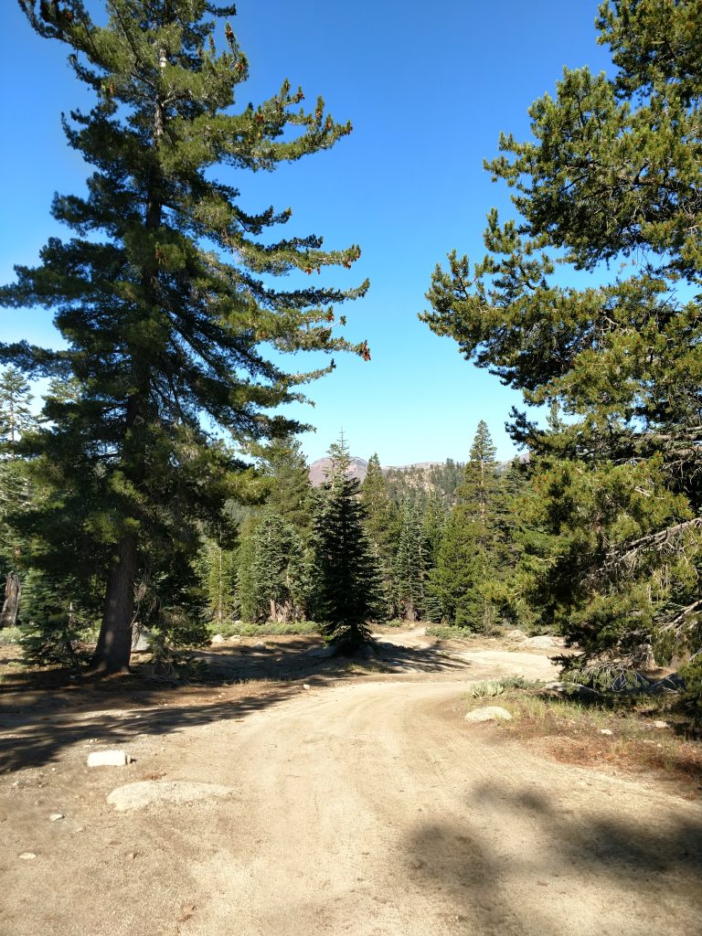
The first section of this hike was a simple walk up some deteriorating roads headed directly toward Hawkins Peak. The saddle/parking area was at an altitude of 8,200' so that meant almost exactly 2,000' of altitude gain. I found it steep but straightforward. For the drivers, note there's an odd, random gate just after leaving the saddle- it looked like people in cars simply drove around it.
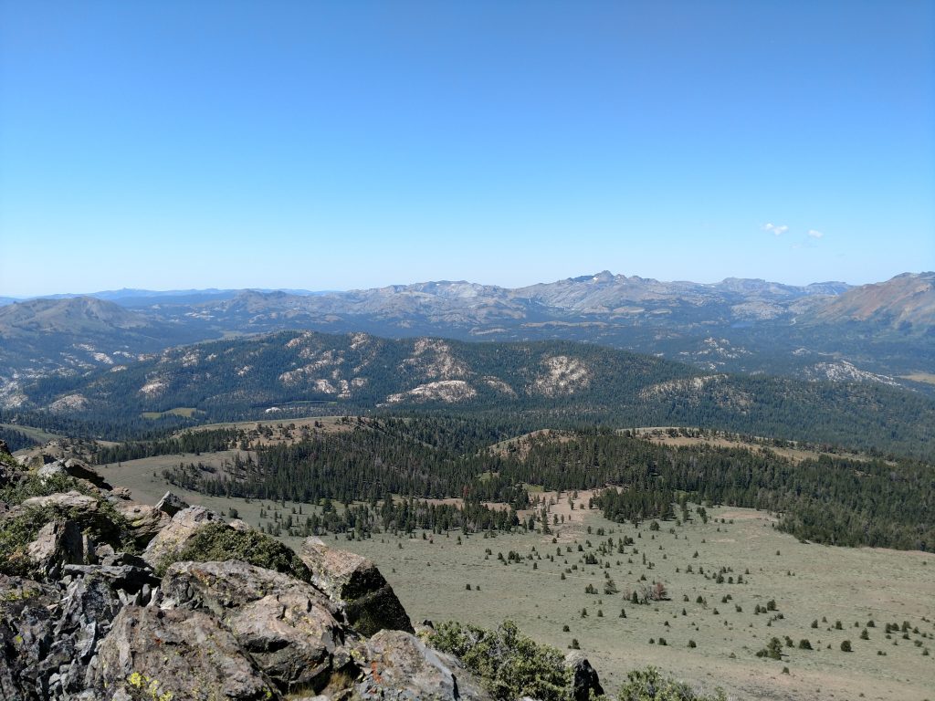
After about a half mile of hiking I broke through the trees and had glorious views of Kit Carson country and the high summits further South. Of course, there was nobody around either so it felt frontier-like.
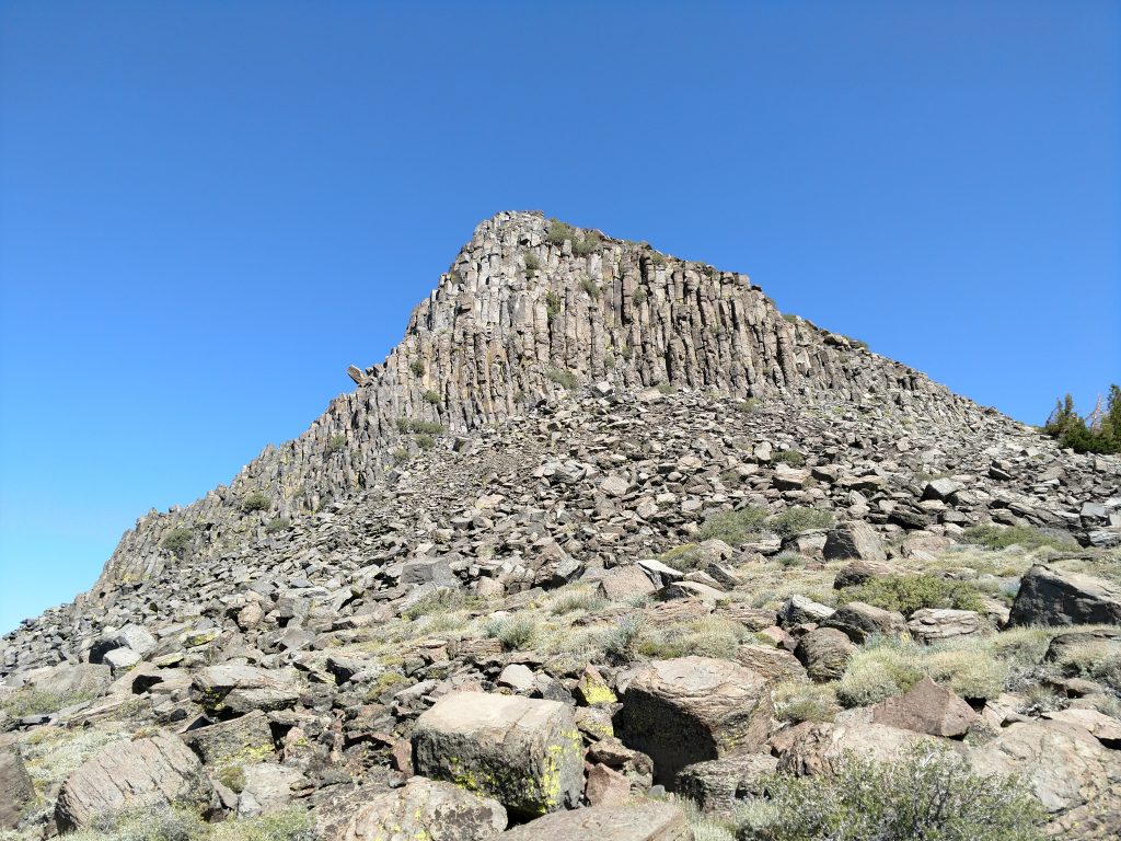
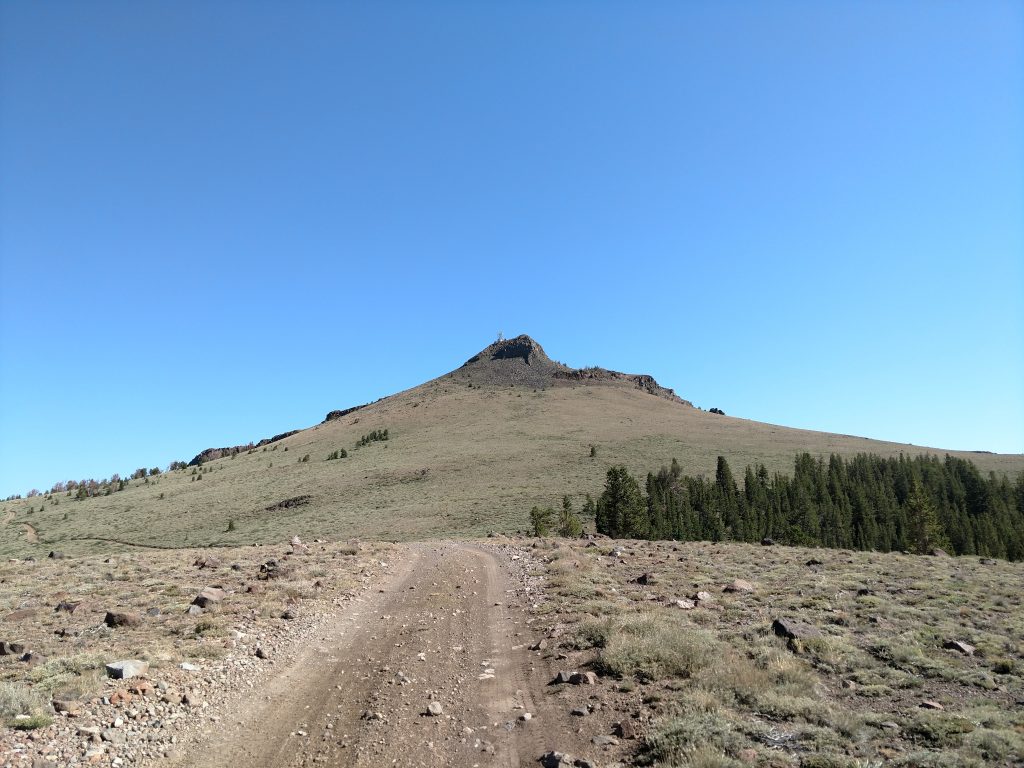
About 1.6 miles and exactly 1,000' higher than where I started, I arrived at an intersection. Hawkins Peak looms over the road looking nearly inaccessible without ropes. However, hiking just a little further takes the technicality out of the route. The standard hiking route up Hawkins Peak goes to the right but drivers typically go left.
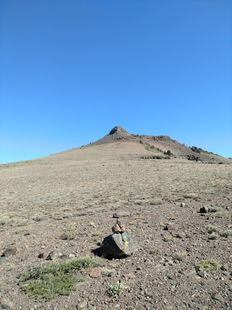
I went another 0.4 miles on the road, losing a little altitude. I got worried I was going the wrong way until I arrived at a small cairn and saw the clear, less exposed route up Hawkins Peak.
South Route to Hawkins Peak Summit
From the cairn (about 9,200'), I took the path of least resistance up the flanks of Hawkins Peak. Occasionally I picked up a herd path but for the most part it was an open country walk.
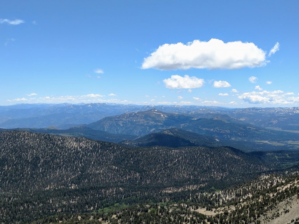
Views to the South remained exceptional. Also, looking East into Nevada revealed the innumerable summits off the Basin and Range. Again, there was nobody around sharing the view with me which I loved.
My route naturally got steeper as I got closer to the top. It might not be very visible in the photo above but I made a line for an obvious grove of trees just East of the summit. There's a small saddle at 9,600' and 400' shy of the top.
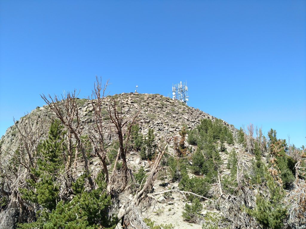
The last scramble to the top was relatively easy by scrambling standards. Its about 400' of hands and feet scrambling but nothing too exposed. Hiking poles made the ascent easier.
After about 2 hours of hiking, I gained the summit of Hawkins Peak. In August, the temperatures were pleasant and there was no wind. I took tons of photos and enjoyed a lunch. I also found the summit register, mostly full of other folks doing the Tahoe-Ogul Summits.
I took the same route back but noticed at least one climber directly assaulting the West-facing flanks of the mountain. That looked a lot more demanding.
Back to the car in less than 4 hours, I used the rest of the daylight to climb the somewhat nearby Corral Hollow Hill, High point of Calaveras County.

No Comments