


After my awesome introduction to the Warner Mountains and Eagle Peak the previous day, I woke up early for a bag of Hat Mountain to the South. At 8,741', Hat Mountain is the highest summit of Lassen County, California. Lassen Peak is curiously not within Lassen County. Hiking Hat Mountain involves negotiating some poorly maintained logging roads and bushwhacking. However, like its neighbor Eagle Peak, Hat Mountain has some grand views.
Due to its remoteness, Hat Mountain isn't frequently climbed and therefore multiple approaches exist. The "standard" route involves a bushwhack from nearby Lost Lake. However I didn't have the treads to navigate anywhere close to the lake. Had I taken that route- I'd have to descend 600 or so feet, then reascend all that to the summit. Folks on Peakbagger discovered a more circuitous route which involved less descending and less bushwhacking. I'll describe that route as best I can.
Getting to the Trailhead/Bushwhack-head
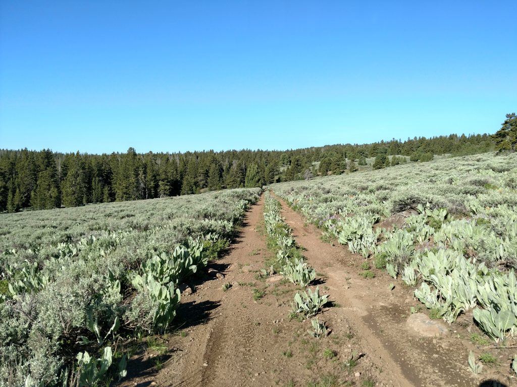
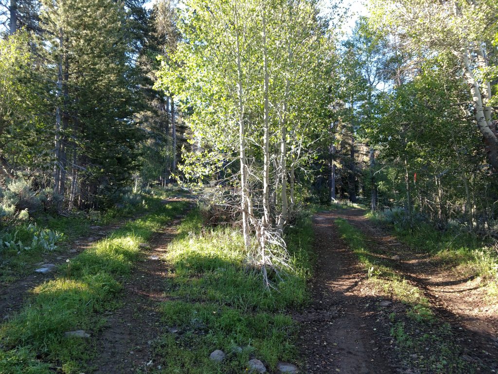
From Patterson Campground, I took South Warner Road/County Road 42 another 3.4 miles in a generally easterly direction to an unmarked but clearly visible forest service road which headed South. I took this rocky and slow road another 1.2 miles to a junction and determined this was the furthest I felt comfortable driving in my Subaru. Here's a map of my route from there-
I have an odd but effective practice of bringing a mountain bike on trips like this. Whenever I feel the road is too hard for my car, I just pull over and bike the rest of the way. I'm glad I did it this time too- just a mile further on a route passable by 4x4 cars was a ton of deadfall, preventing further travel.
Bushwhack/Open Woods Walk
It was just East of Buck Mountain and around this point that I abandoned the bike and set off on foot. I can't imagine a car really getting much further either.
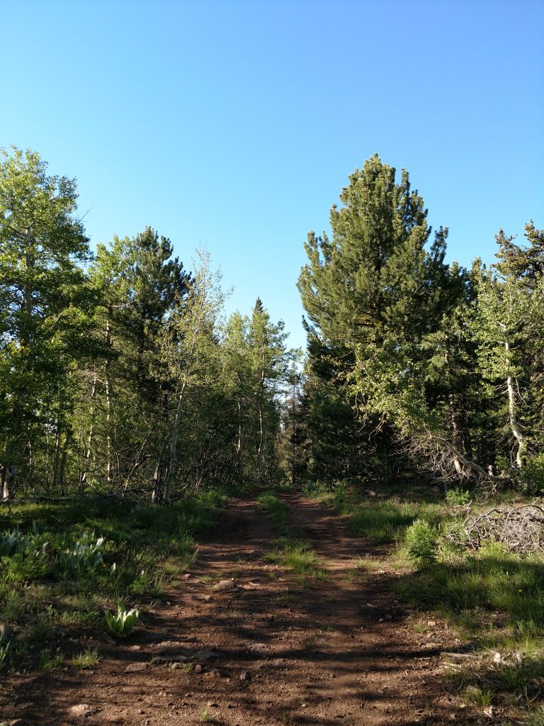
The woods walk in this section was rife with deadfall which really limited forward progress. Occasionally I picked up a semblance of a path or a road but ultimately picked the path of least resistance and found my way East.
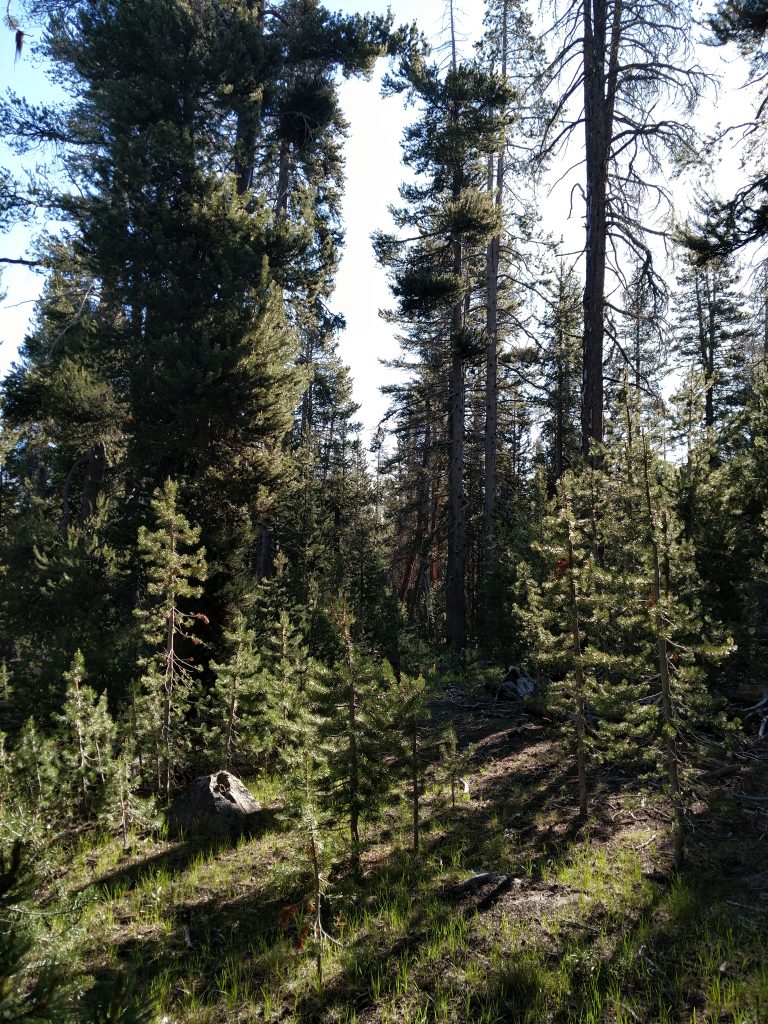
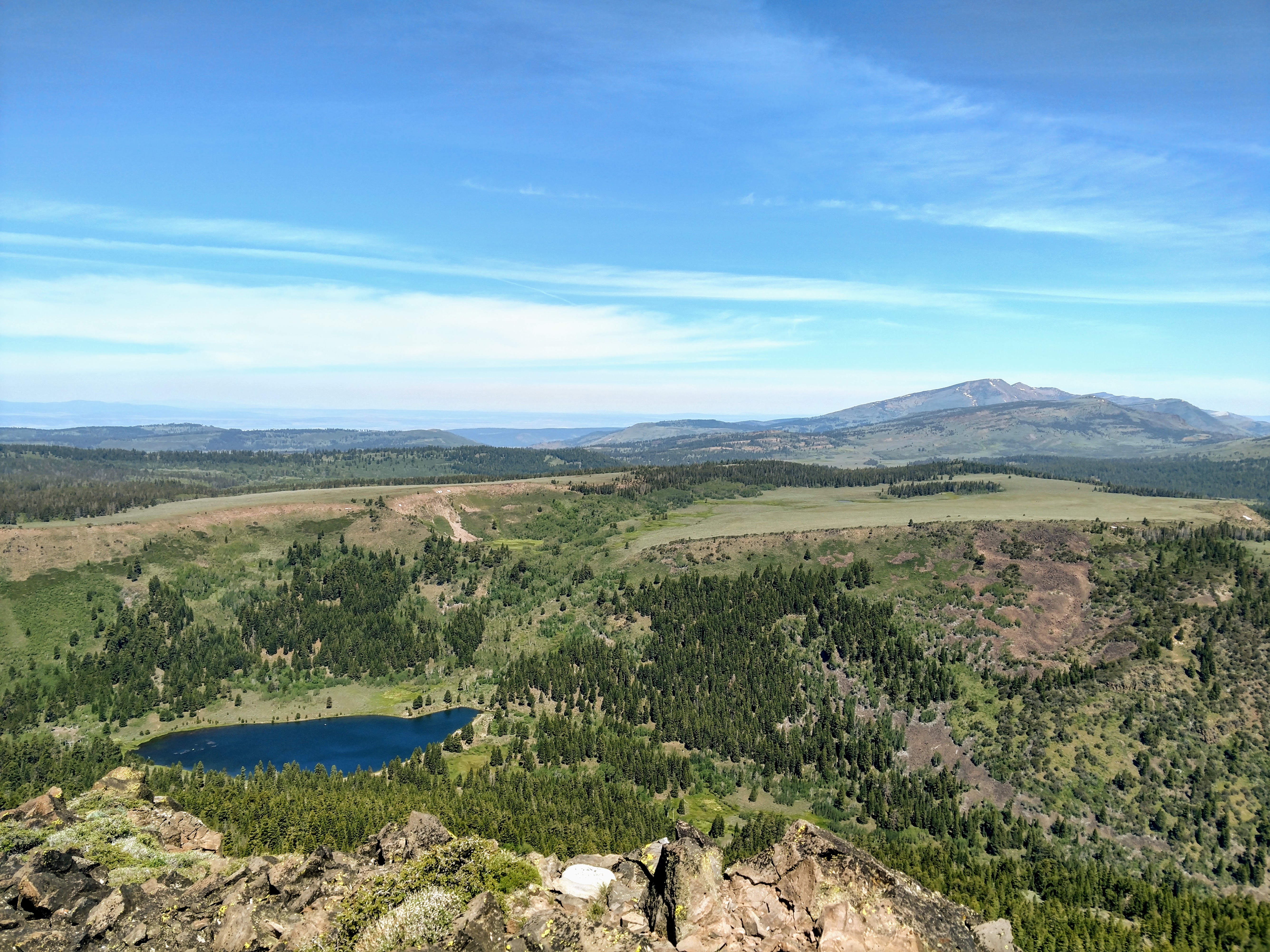
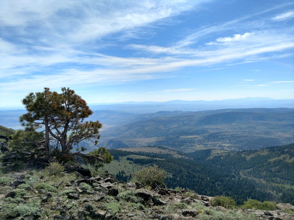
My main aim with the bushwhack was attaining the escarpment that forms Hat Mountain. After some tortuous bushwhacking I reached a few small outcrops that brought me above the trees (see photo above). Just a few hundred yards East, I gained the long-abandoned logging road which heads to the summit.
Old Forest Service Road to Hat Mountain's Summit
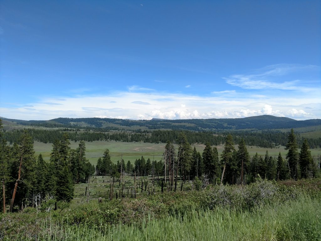
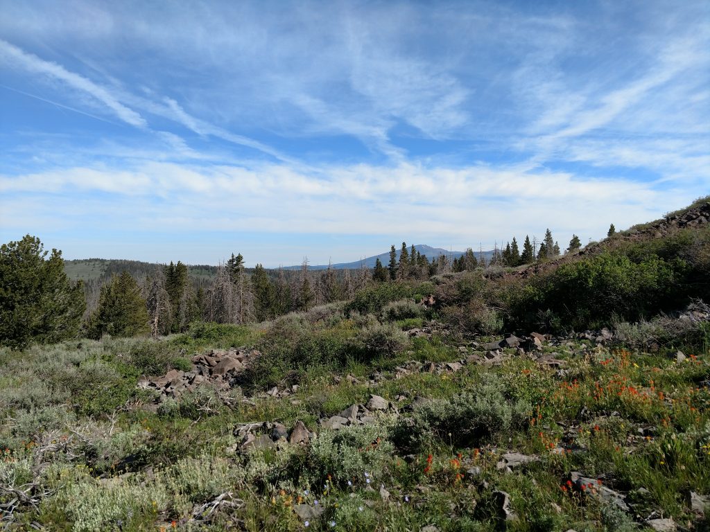
The final section of this hike was pleasant and mostly flat. I followed the remains of a logging/forest service road in a nearly straight line to the summit. Its certainly overgrown and I was glad I had pants but it wasn't the miserable bushwhack that preceded this walk.
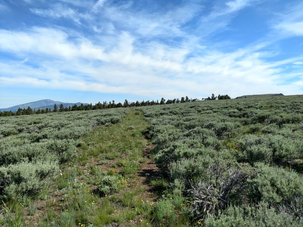
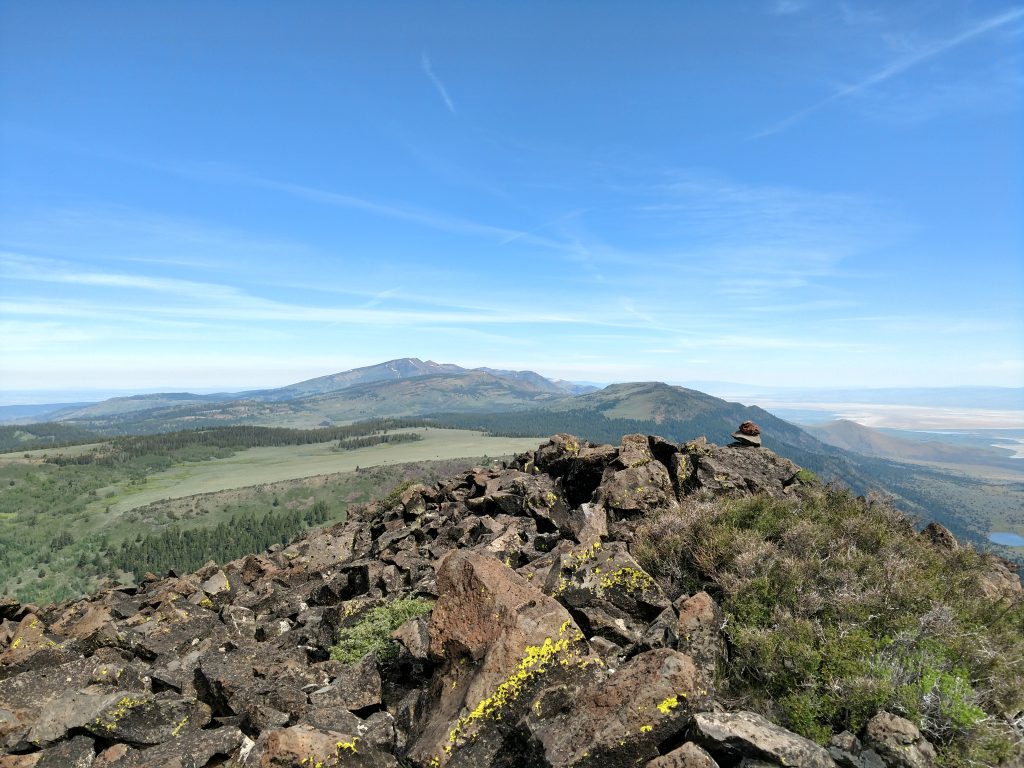
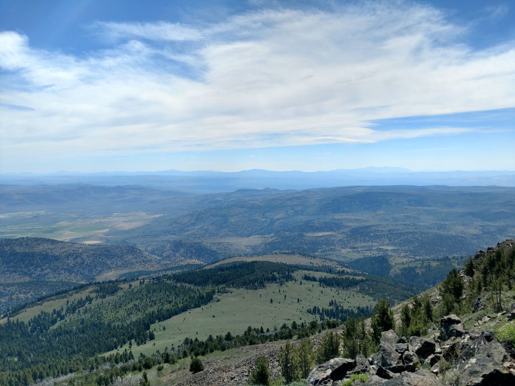
A very gentle grade eventually lead its way to the summit. It was so flat that it was hard to know where the actual summit lied. However the escarpment that creates Hat Mountain had fantastic, wide-ranging views of the Surprise Valley and eastern Cascades.
With my GPS/altimeter I found the actual high point and the summit register. Names signed matched that of Eagle Peak the previous day. It seems the only folks who climb Hat Mountain and Eagle Peak are county high pointers like myself.
On the descent, I tried my best to follow the same path but inevitably got turned around a few times on the bushwhacking section. Again, downloading a GPS track before the route helped ensure I didn't get truly lost. Even the road-walk and bike down the logging roads was confusing. However, I made it back to the car after about 6 hours, completing the trip.
I'm glad I gained the Lassen County High Point but this is not a very pleasant trip overall. Not sure I'd have hiked Hat Mountain had it not been a county high point!

No Comments