


Mt Pinal is the tallest mountain of the Pinal Mountains, East of Phoenix. Short by Arizona standards, Mt Pinal makes up for it in topographic prominence and isolation.
I explored this lesser-seen side of Arizona on a recent road trip. Although there are literally hundreds of mountains worth climbing just Northeast of the Phoenix area (most within a few hour's drive), this was a blank spot on the map for me. Always the peakbagger, I started my foray with a winter hike of Mt Pinal and nearby Signal Peak
Getting to Mt Pinal
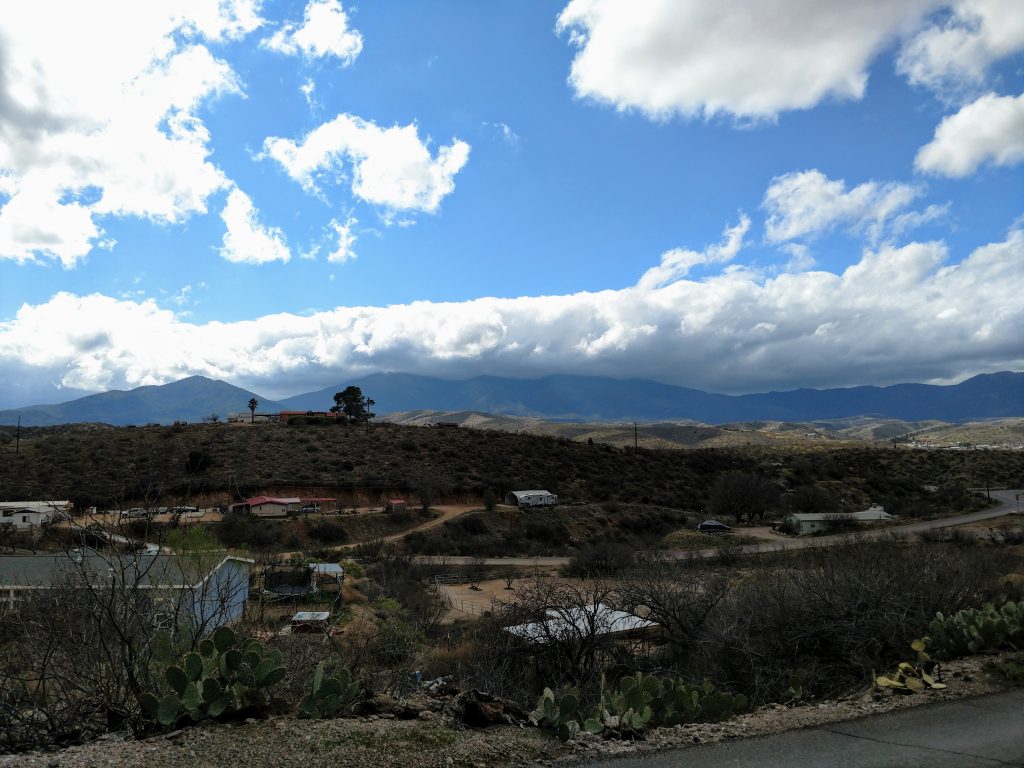
Mt Pinal is closest to Globe, Arizona (also known as Globe-Miami, Arizona). Globe isn't a company-town, per say. However mining dominates the landscape and local economy. Mt Pinal and most of the nearby trails are spared from any development.
Getting to Globe from Phoenix and Tucson is easy; simply follow your phone's mapping software. From Globe, there's many great-quality dirt roads that get deep into the range. The map below has the trailhead and driving directions from Globe's downtown:
A few things worth noting:
- There's plenty of accommodations in the Globe area if needed.
- Ice House Canyon Road is the main road that gets to the trailhead. Its all dirt, generally well maintained but, like any dirt road, becomes impassable after heavy storms
- Plug this point into your phone if you need exact directions.
- Although the trailhead is easy to get to, there's not a lot of clear signage in the area.
- You can drive to the summit if you chose- roads are generally good. In the winter, the ranger described this as impossible, naturally. Check with local sources about a drive to the summit if you chose that option.
Hiking Considerations for Pinal Peak and Signal Peak, any time of year
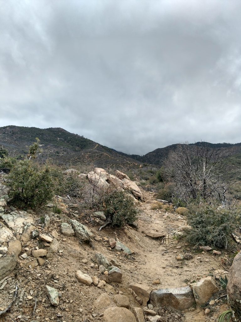
Overall, I found the hike of Mt Pinal very confusing. Again, signage is generally poor. There's well marked trails but they intersect with unmarked (and far more clear) dirt roads. I think the reason for this was a fire. I made it to the top by using Google Satellite Maps, ensuring I was on track. In any case, there's a few routes to the top. I'll describe them the best I can but note that all of them are confusing unless you're actually there. All of them involve varying degrees of road-walks on the Mt Pinal Forest Service Road (Labeled Forest Road 651 on maps)
- Icehouse Trail: From the parking area to Mt Pinal's ridgeline is 4.25 miles, one-way. The trail hugs a ridgeline for the first third (technically on the Telephone Trail for this part) before joining the Icehouse canyon trail. The last quarter of the trail involves a significant elevation gain with switchbacks. After hitting the main road, its another 1.4 miles, one-way to the summit
- Telephone Trail-Six Shooter Canyon Loop: This is one of the few times Alltrails has a well mapped and accurate route. Here's the link. Its about 13 miles total. A loop is not necessary if one prefers an out and back on either the Telephone Trail or Six Shooter Canyon Trail.
I orignally planned on the Icehouse Canyon Route but I ended up on a rather unusual (but in the end direct) route utilizing the Telephone Trail and some unmarked but very clear 4x4 road. Again, please reference the map above for clarity.
From Trailhead to Mt Pinal
After parking at the trailhead, I followed the Telephone Trail for 3/4ths of a mile. Here's where I intersected a very clear but steep 4x4 road or possibly a buried cable swath. I thought this was the telephone trail but this is not a true trail. If you follow this swath about 100 yards, the Telephone Trail continues, deviating to the right off the swath.
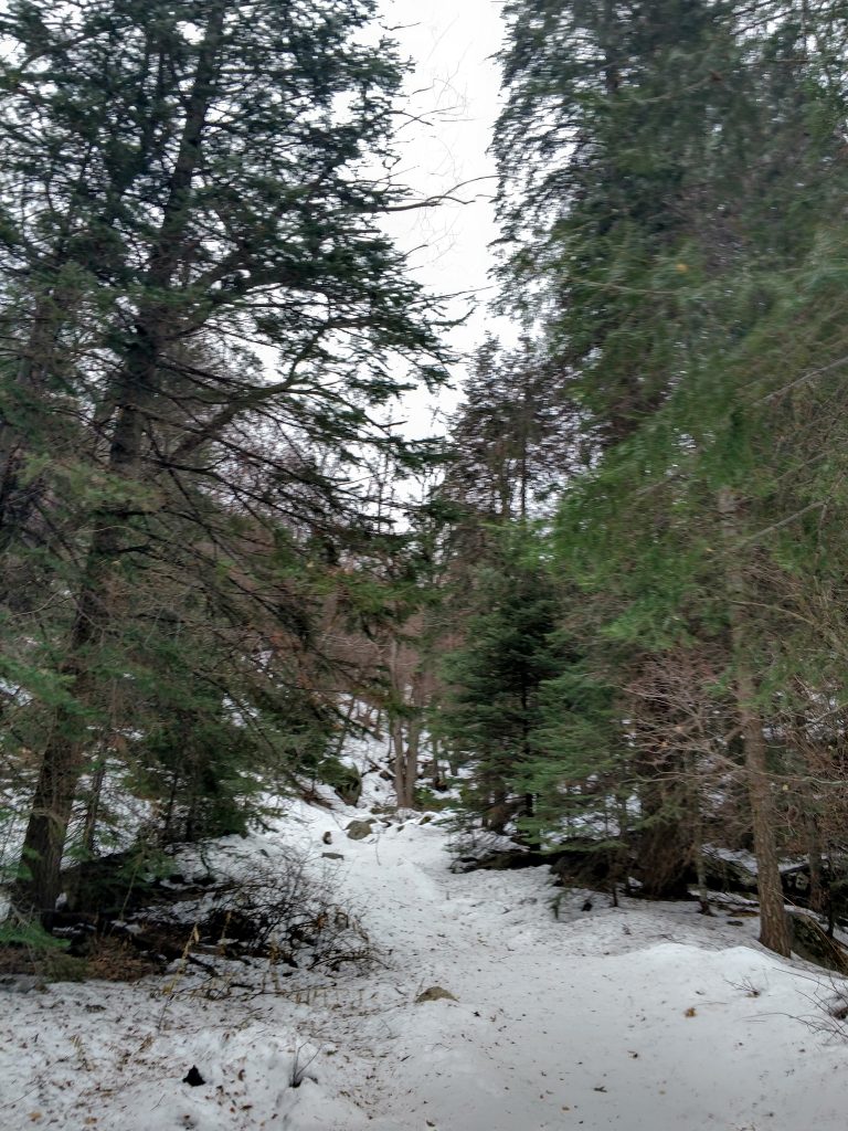
I continued up the swath. It was steep but very clear. Along the way, I passed through several gates, none of them indicating restricted access or private property. Along the swath, I saw several unmarked footpaths going left and right. Given how confusing the Telephone Trail/Icehouse Canyon route was, I simply continued up this swath. It was impossibly steep in some sections but I worked my way along.
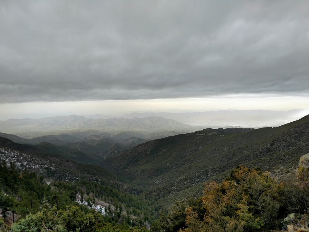
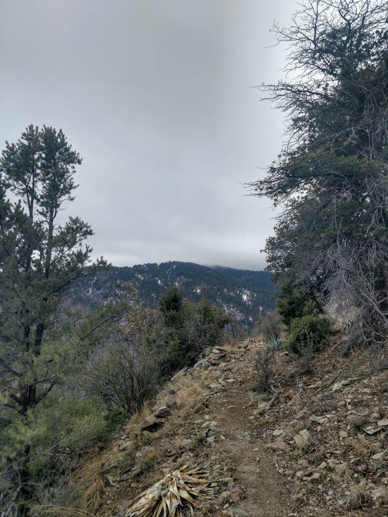
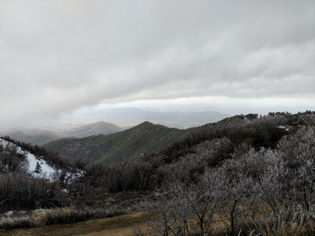
As the swath ascended the ridgeline, views started opening up. After 1.8 miles of hiking, I encountered an unmarked but very clear footpath deviating from the swath. After the hike, I realized this was where Telephone Canyon picked back up. This trail was thankfully clear:
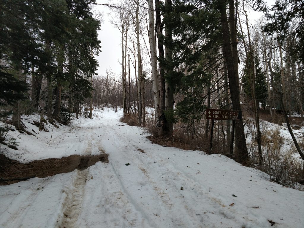
Not really knowing what to expect, I followed this trail further as it descended from the ridgeline and down into Sixshooter Canyon. It was pleasant hiking although I was getting concerned that I was off-route. However, after less than 1.0 mile of descending into Sixshooter canyon, I intersected the Sixshooter Canyon trail and a clear sign pointing towards Ferndell Spring and Pinal Peak. I took this steep but clear route, eventually meeting with Forest Service Route 651 which I knew lead to the summit.
From the point where the trail intersects with the main Forest Service Road, its 0.7 miles to the summit. I made an immediate right, then a left to follow the main road to the summit. I passed by the road to Upper Pinal Recreation area and simply followed the signs to the summit.
Pinal Peak and Road Walk to Signal Peak
The summit of Pinal Peak was full of radio towers; not much of a wilderness experience. This was expected of course but I decided to continue my exploration of the ridgeline. I found no summit register at the top.
Using my map, I plotted a road walk to Signal Peak. This is the second highest summit of the range and less than a mile from Pinal Peak. I figured why not?
Down I went. The road walk was okay; there's a surprising amount of development in this area. I passed by several summer residences, radio towers and campgrounds. Eventually I came to the intersection with Signal Peak; there was a gate preventing further vehicular traffic but nothing stating you couldn't hike Signal Peak.
This walk to the summit was a bit bland; the road kept going on and on (not far but I was kind of exhausted). Eventually it looped back to the summit and I snapped a few photos. A thermometer on one of the residences indicated the temperature was less than 20 degrees Fahrenheit!
Sunset was approaching so I didn't spend much time on this summit either.
Signal Peak Back to Trailhead
Which way down? I was as confused as ever at which way would be the best route down. I decided to follow that swath all the way back to the first intersection with Icehouse Canyon.
Thank goodness for satellite view; it was clear that this swath or 4x4 trail would follow the ridgeline extending Northeast from Signal Peak, almost in a uniform line back to where I parked. Though nervous at first, I found no trouble following it down.
So, that's my meandering route climbing Signal Peak and Mount Pinal. Total distance was 11.0 miles exactly. Though there may be more clear hikes to the summit (or simply driving to the top), I actually like the one I took!

No Comments