


Zanja Peak is the highest point of the Crafton Hills, a subrange of the San Bernardino Mountains. Its an easy, 1/2 day hike near Redlands and Yucaipa, California.
After a gigantic hike of Anderson Peak, I didn't have the energy to hike anything else as significant. Nevertheless, a brief Google search lead me to Zanja Peak, the high-point of the Crafton Hills and an easy hike near Yucaipa, CA. I was staying in Redlands so it was a hop, skip and a jump away from my hotel.
Hike Overview
This is a short but steep hike. Its exposed to the sun but has views the whole way. Here's the stats I had by the end:
- Total Distance: 4.0 miles
- Total Time: 2 hours
- Elevation Gain: 1,100'
- Elevation Loss: Negligible
- Low Elevation: Parking lot, 2,454'
- High Elevation: Zanja Peak, 3,543'
Here's a map of the hike I took:
Zanja Peak Hike
The parking lot is part of Crafton Hills Open Space and has free parking. I plugged in Zanja Peak Parking Area to Google Maps and got there without a problem. Its about 20 minutes from downtown Redlands.
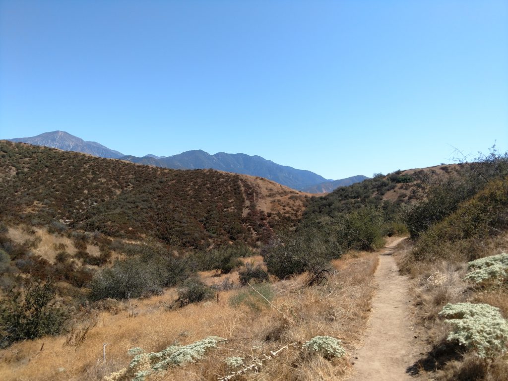
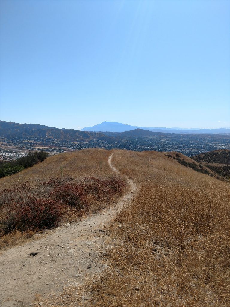
After parking, I crossed over the gate and hiked 0.1 miles up the paved road to the first dirt trail on the left. This trail lead me another 0.4 miles uphill, steadily gaining altitude. The trail came to an obvious fork by one of the few trees on the trail. Going left takes you to the summit as well but the trail is less established. I went right.
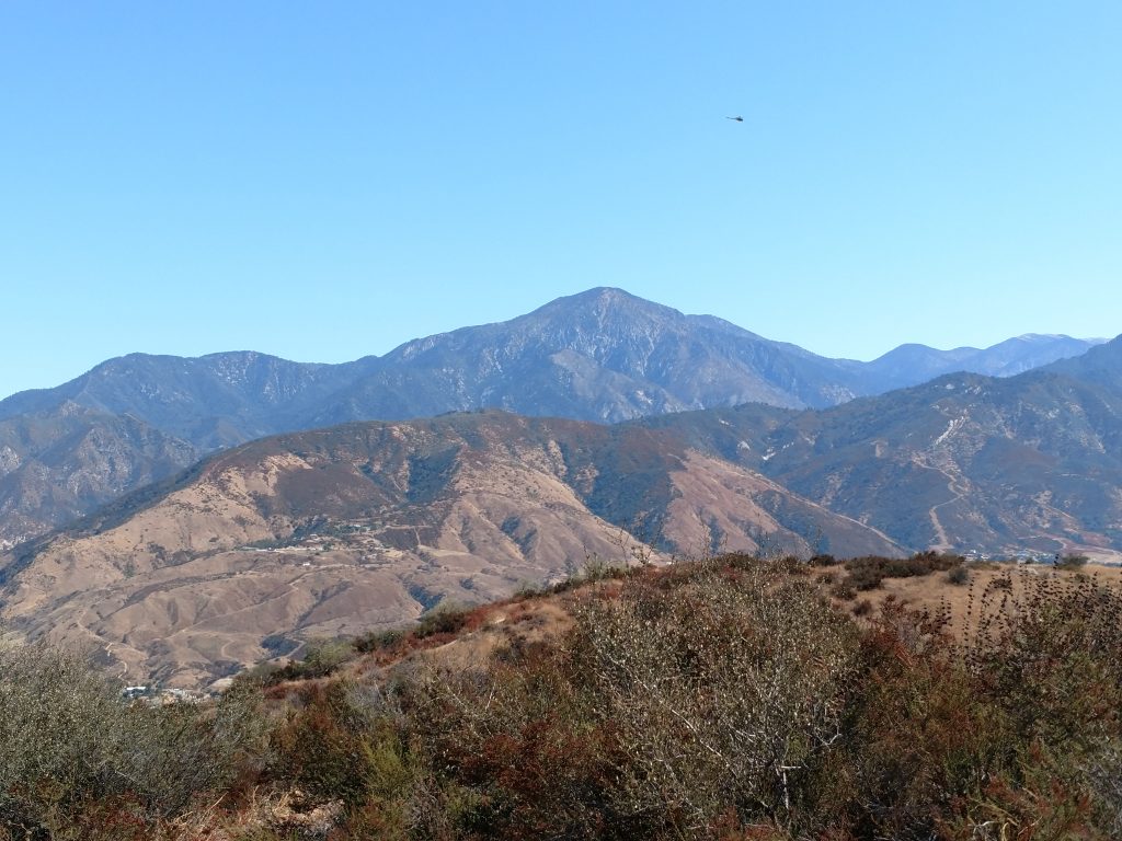
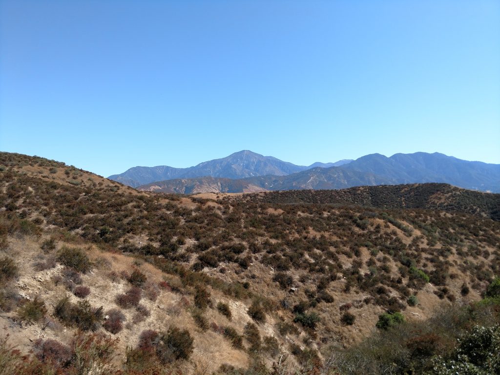
Zanja Peak trail leads to the right and starts with a number of switchbacks. Already the views were phenomenal. San Bernardino Peak loomed to the East and I could already see all the way to Palomar Mountain in San Diego County. That's 50 miles away! Finally, San Jacinto rose off in the distance like Southern California's Everest.
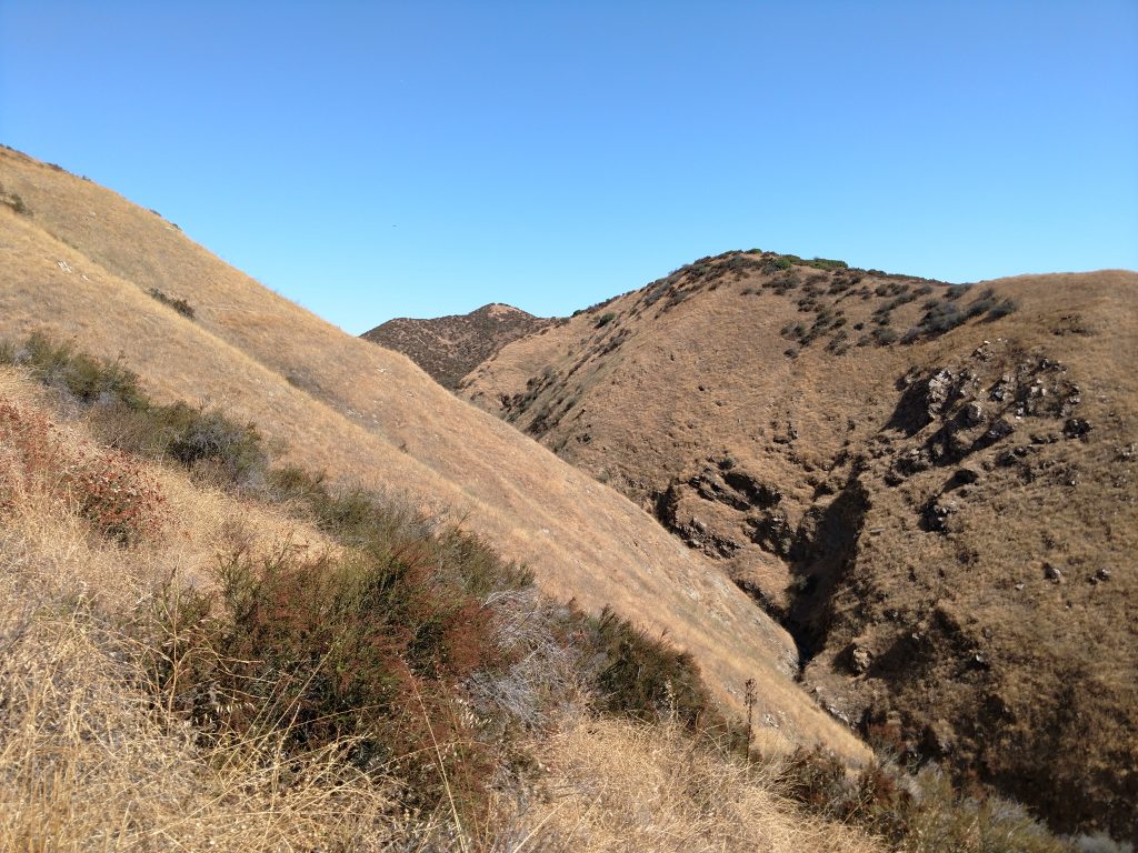
About 1.0 mile in, the trail dips into the canyon and flattens out a bit. Classic Southern California chaparral coated the hills making me feel far from civilization. In the spring, these hills are carpeted in green grass and wildflowers.
After another 0.4 miles of hiking, I intersected the "Gold Trail" and simply continued right on the main trail.
The Summit
From the intersection with "Gold Trail", Zanja Peak was 0.8 miles of steep ascending to the summit. A few side trails deviated from the main route but the summit was easily found and achieved.
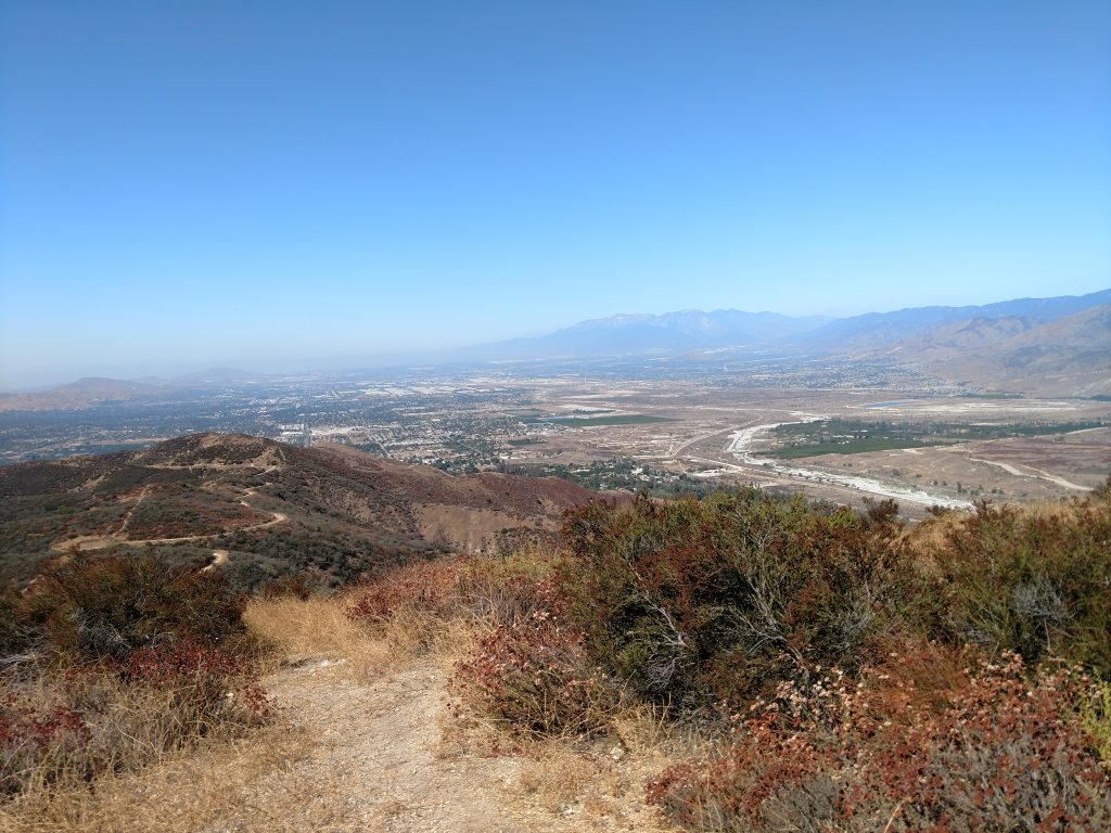
Nearly all of the Inland Valley was plainly visible from the summit as well as most of the San Gabriels, San Bernardinos, San Jacinto and the Peninsulaar Ranges of San Diego County. Its quite spectacular for summit of modest altitude. I caught up with a few friends who were lifelong residents of Redlands and they told me its their favorite Yucaipa hike.
Routes down Zanja Peak
For the most part I simply followed my route back to the car. However there's a lesser-hiked side trail from the summit's saddle that crosses a few smaller sub-summits on the way down. I took this partially and got more stickers in my socks than I could tolerate. The trail is officially unnamed but easy to follow.
I hiked this mountain in about 2 hours and, on a weekday, didn't see anyone else on the trails. If you're in the area, its a great hike near Redlands and Yucaipa.

No Comments