


Cahto Peak, an obscure P2K of California's North Coast
I'm all about hiking obscure mountains in the wilderness and this is no exception. Nobody really climbs these mountains except for the small but mighty crowd of peakbaggers which I'm proudly a part of. After hiking Mt Konocti in Lake County, I set my sights on Cahto Peak. This summit is attractive because it has greater than 2,000 ft of prominence (P2K) and exceptional views of the North Coast and Pacific Ocean. Other nearby summits are part of other arcane peakbagging lists. So you who are reading this is probably one of those who cares about such goal. Here's my account of hiking Cahto Peak, South Cahto Peak and Signal Mountain.
Getting to Cahto Peak's Trailhead
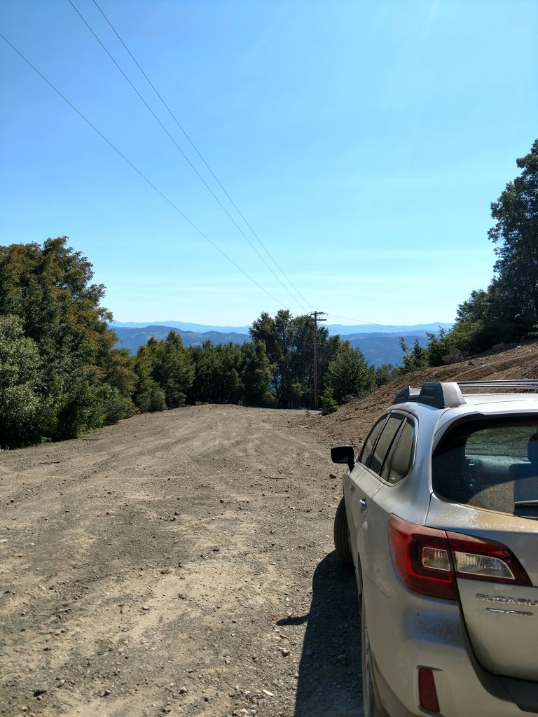
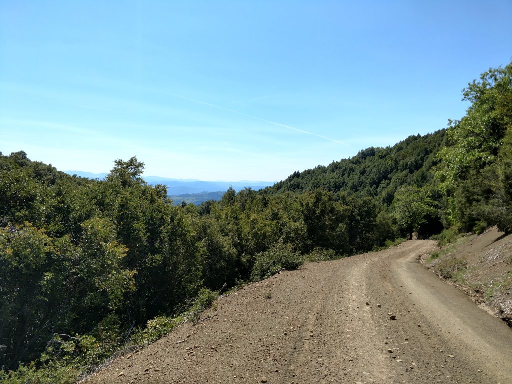
Every ascent that I'm aware of begins from the same spot. Its at the end of a gated dirt road which provides access to the radio towers on the summit. Get to Laytonville California on Route 101 and look for the obvious intersection with Route 101 and Brascomb Road. Head West on Brascomb Road (left if coming from the South) and take it 2.4 miles to Cahto Peak Road. After this turnoff, the road quickly becomes dirt with some noteworthy potholes. I found them avoidable and a generally good quality road to the gate. Some sections are serpentine and steep but I can't imagine most cars having trouble (I drive an Outback). Take this road 4.9 miles from the intersection with Brascomb Road to the gate and park in the clearing. This is an active utility road, do not block the gate by parking here.
Here's a map with hiking and driving directions:
Hiking Cahto Peak
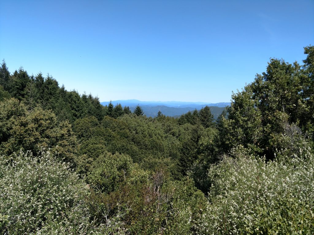
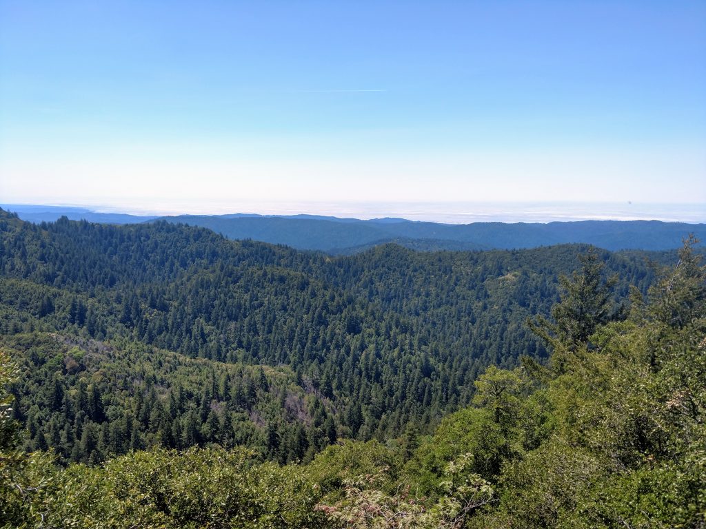
The hard part is over! As far as I'm aware, there are no fees, registration or access issues from here (as of May 2019) From the gate, its a very simple 1 mile walk to the summit (one-way). There are wonderful views of the Mendocino Ranges and Anthony Peak which rises to 6,960'. It was a very wet winter in 2019 when I hiked this mountain so there was plenty of snow in the distance.
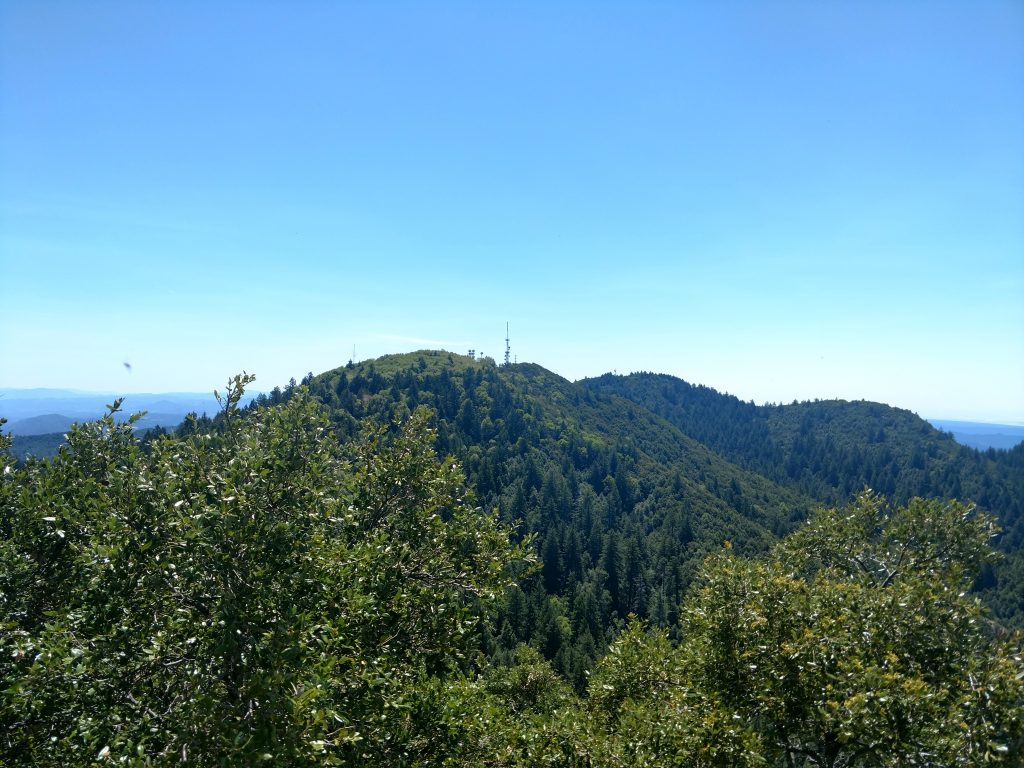
About 2/3rds of the way up to the summit from the gate, there's an obvious fork in the road. Take a left here and hike another 1,000 ft to the next fork. Take another left and another 1,000 ft to the summit. Though covered in radio towers, there are panoramic views of the ocean and North Coast Ranges. Its quite peaceful.
Cahto Peak Fire Lookout, North Slope and South Fork Eel River Wilderness
After searching in vain for a summit register, I followed the road back down about 1,000 (horizontal) feet to the fork and walked up to the Fire Tower Lookout. I hoped it was open but naturally it was derelict and locked. I found a few better views of the Pacific Ocean.
After tagging the fire lookout summit, I returned to the very first form and went North towards the second summit covered in radio towers. The second summit is 1,500 horizontal feet feet from the first fork in the road and not much to look at. I waved at a radio tower technician and grabbed lunch.
The boundary for South Fork Eel River Wilderness begins just north of this summit. This is one of California's wilderness high points, if you care about such things.
Bushwhack into South Fork Eel River Wilderness and Signal Peak
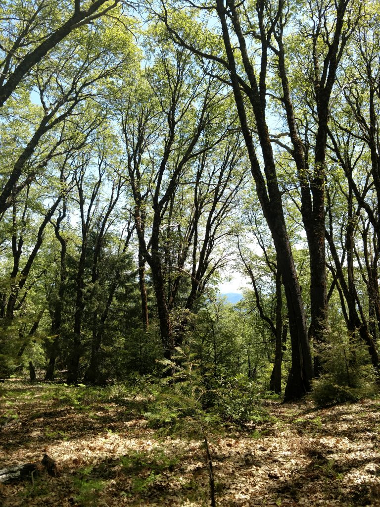
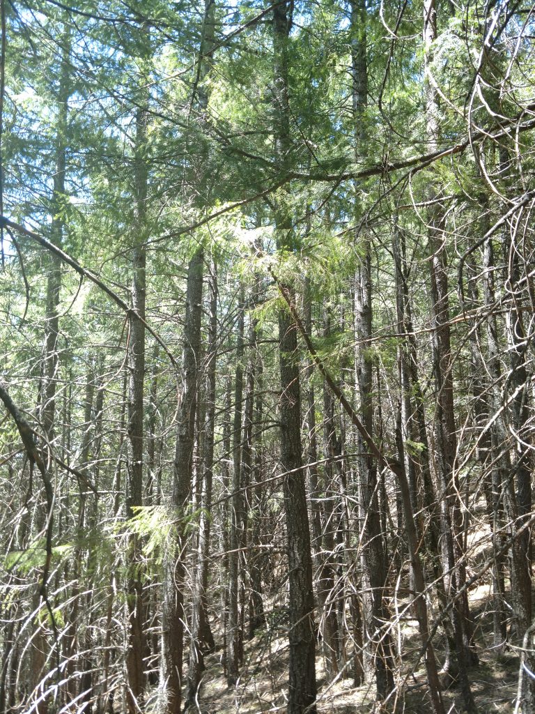
This area is seldom visited. For those who venture into the wilderness, I'm sure they're fellow peakbaggers attempting to climb Signal Peak. I don't know what the appeal is but I climbed it too. Its a true bushwhack so if you do the same, take necessary precautions and be prepared.
From the North Slope, I followed the very faint remains of a jeep trail about a thousand feet and came across another radio tower located here. I picked up a slightly improved jeep trail which took me another 0.3 miles to a previously unanticipated four way intersection. I headed North on the muddy remains of a trail before coming to Stoten Opening.
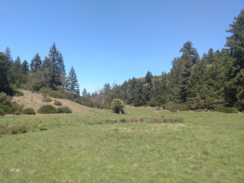
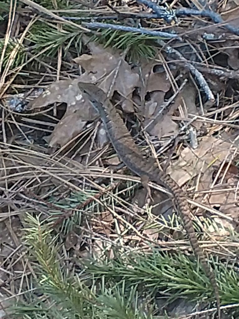
Stoten Opening serves as a good waypoint between the Cahto Peak's North Slope and Signal Peak. Looking North from Stoten Opening, Signal Peak rises very obviously just off to the Northwest or to the viewer's left. I hoped to see more evidence of wildlife at the opening but I saw none. Others have reported seeing bears up here.
From Stoten Opening to Signal Peak is just 0.3 miles as the crow flies but given the steep bushwhacking, it took me about 45 minutes. Fortunately its easy to follow- an arm of the summit rises uniformly to the high point. I followed the GPS but felt I didn't really need it.
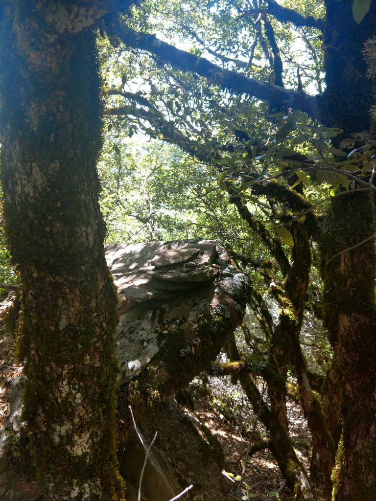
After the slope started evening out, I searched around for signs of a summit canister or highpoint but I only found the cairn shown above. It matched Bob Burd's Trip report so it must be the true high point. Just before the summit, I found a large granite boulder with some views back toward Cahto Peak.
Signal Peak back to Parking Area
I followed my same route down to the Stoten Opening and the four way intersection. Standing at the intersection, looking south or away from Stoten Opening, I went left and found the remains of an old logging road all the way back to the access road to Cahto Peak. There were some sections where it was very faint and overgrown but not too difficult. From the intersection back to my car was about 1 mile.
The whole hike took me a half a day and my total distance was almost exactly 4 miles. Afterwards, I tried bagging the nearby Iron Peak. Unfortunately I could not find a legal/public access point to Iron Peak and I'm against trespassing. I'll have to find out a way to access it in the future. If you know how, please comment!

No Comments