


Onward with my "close-ish to home hikes" during COVID19! Sonoma Mountain looms over the North Bay and is tantalizingly close to nearly every major city in Sonoma County. For many years, access to this iconic summit was highly restricted. That's probably due to its highly prized vineyards and viticulture. However, Jack London State Park offers a number of fantastic hiking trails on Sonoma Mountain's western flanks. Then, in 2015, North Sonoma Mountain Regional Park was opened by Sonoma County. The summit's ownership appears public and with future plans to expand trails to the actual top.
I recently hiked the length of the North Sonoma Mountain Ridge Trail to the Jack London State Park Highpoint. This is a 9.75 miles strenuous hike but with excellent and unique views of Sonoma Valley and Bennett Valley.
The Trailhead
North Sonoma Mountain Open Space is so new that getting to the trailhead almost feels like trespassing or driving through a private neighborhood. Plugging in the park coordinates to your phone will get you there no problem. There's just a few things to consider.
Most access involves a drive along Pressley Road/North Sonoma Mountain Road. Its a nice country backroad and its paved but quite twisty- not a great road if you become carsick easily. There's a sign marking the entrance to the park but the road is very narrow- just a single lane for the most part. It winds alongside several private residences which seem foreboding but eventually terminates in a large parking area. Pay the 7 dollar fee at the self-service station.
Bikes are allowed but only on a very small part of the park- its not worth it if you ask me. Dogs are allowed but can't enter Jack London State Park.
Here's a map of my hike:
North Sonoma Mountain Parking Lot to Bennnett Valley Overlook
The first two miles of this hike are steep but lovely. The trail begins with a shaded 0.1 miles to the South Fork of the Mantanzas Creek and a small grove of redwoods. There's picnic tables here which were closed due to COVID19 when I visited.
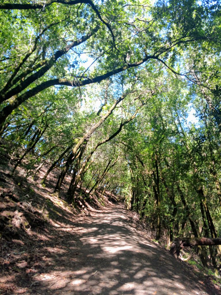
From here, the trail genetly ascends a series of switchbacks along an open field with increasing views of Bennett Valley. Its exposed to the sun but only for a short ways. Most of the next 1.5 miles are covered in trees which makes this accessible during hot summer days.
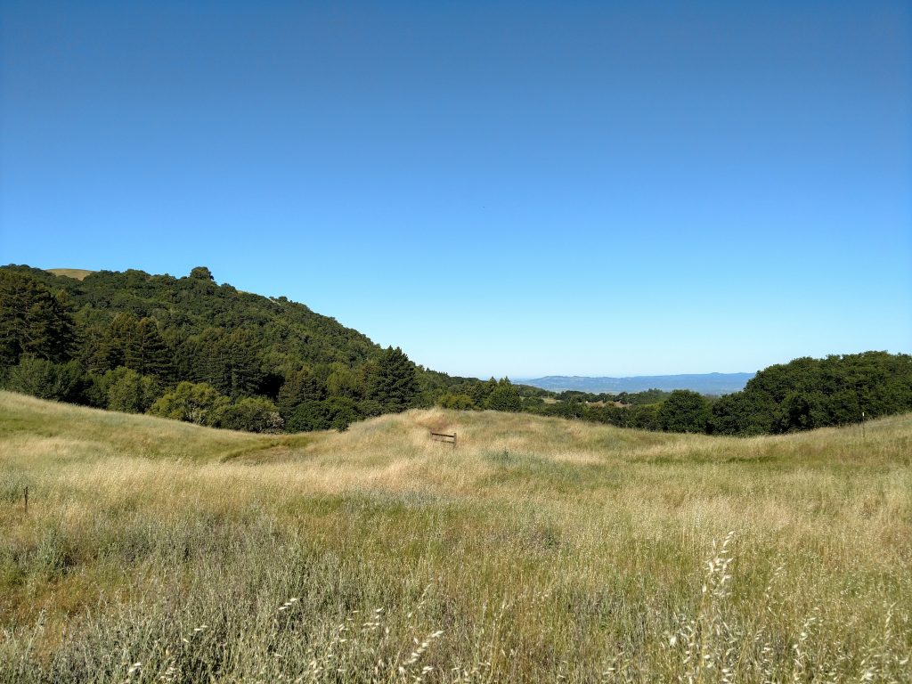
The trail remains consistently steep for the first 1.6 miles until it plateaus and reaches the signed Bennett Valley overlook which is steps away from the main trail. Its sunny and exposed but a nice spot for rest.
Please note bikes are not allowed past the Bennett Valley overlook.
Bennett Valley Overlook to Jack London State Park Boundary
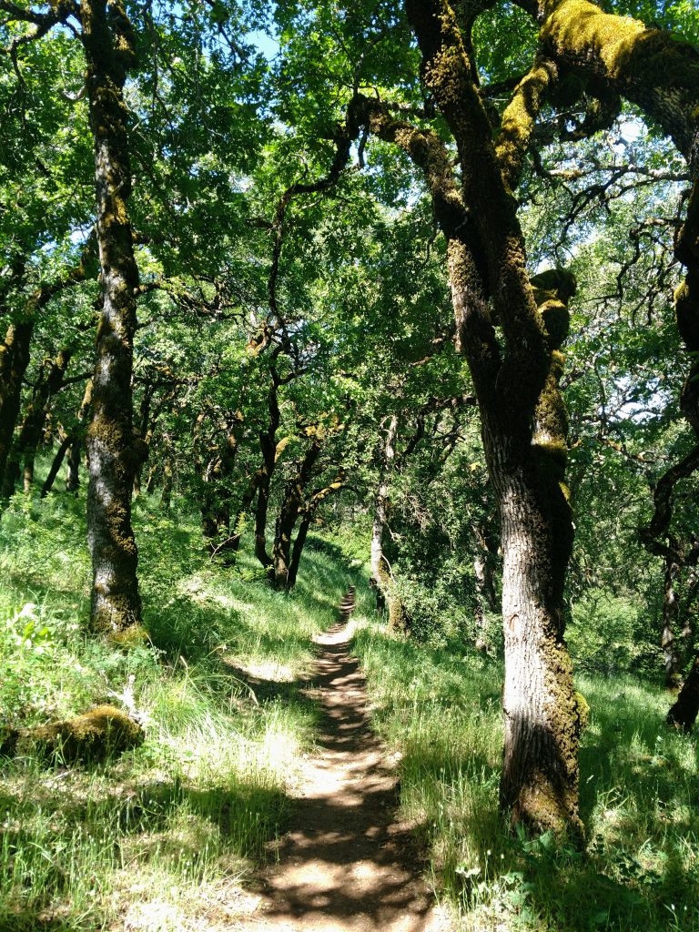
The next 1.75 miles are almost completely shaded as the trial heads East to Jack London State Park. Views are limited and at best directional but the forest is full of Northern California natives such as gnarled Coast Live Oaks- such a stately looking tree.
After the Bennett Valley overlook, the trail gently descends 0.5 miles before steeply ascending the next 0.5 miles. Mile 3 are marked by lots of "PUDs" or pointless-up-and-downs. Somewhere between mile three and mile 4 is the State Park Entrance which is marked to inform hikers that dogs are no longer allowed.
Boundary to Jack London State Park Highpoint
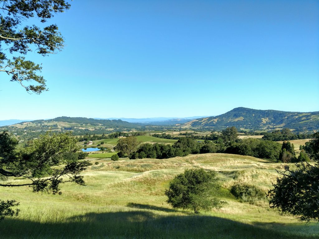
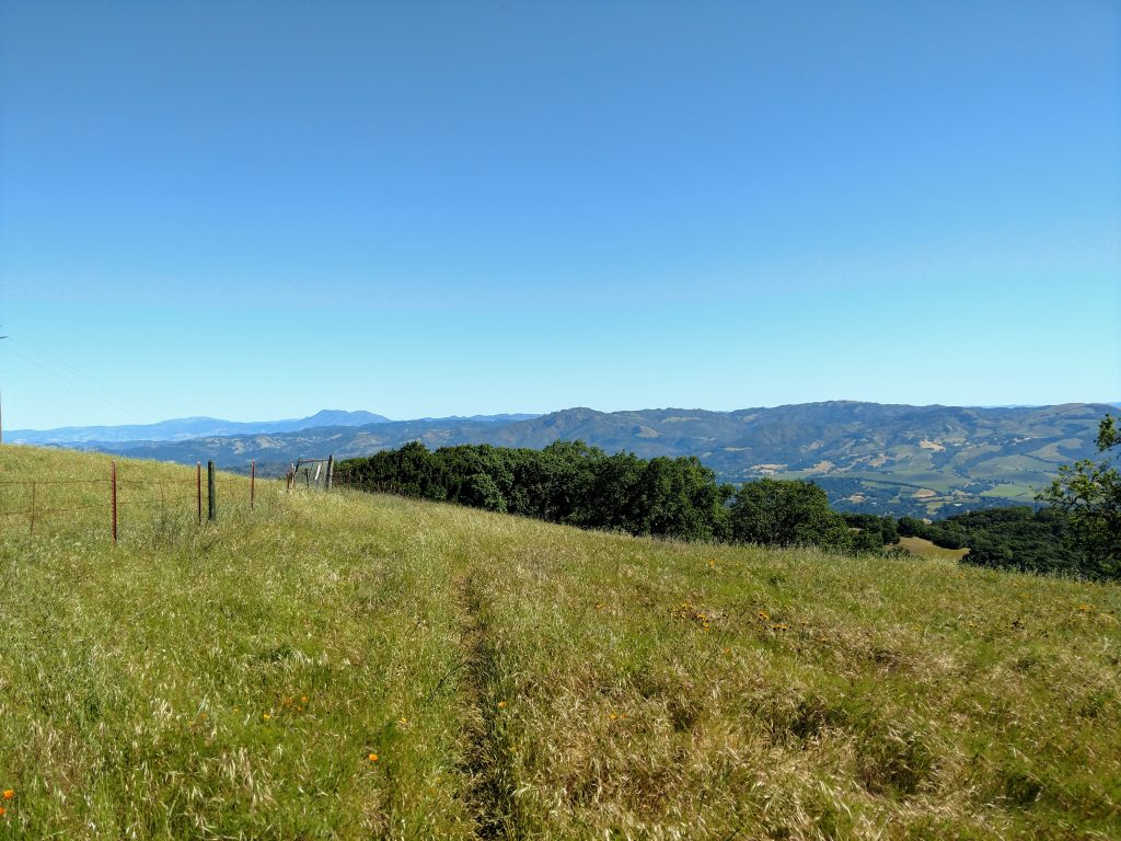
The final mile within the state park includes expansive views of Sonoma Valley and the North Bay. Late in the spring, the fields burst with California Poppies. Mt Diablo also looms in clear view to the South. This was my favorite part of the whole trail.
Just 0.5 miles past the park's boundary, the North Sonoma Mountain Trail terminates at the Hayfields Trail. Turn right here and hike for 0.2 miles until reaching the Mountain Trail. Taking another right here eventually brings you to the park's summit.
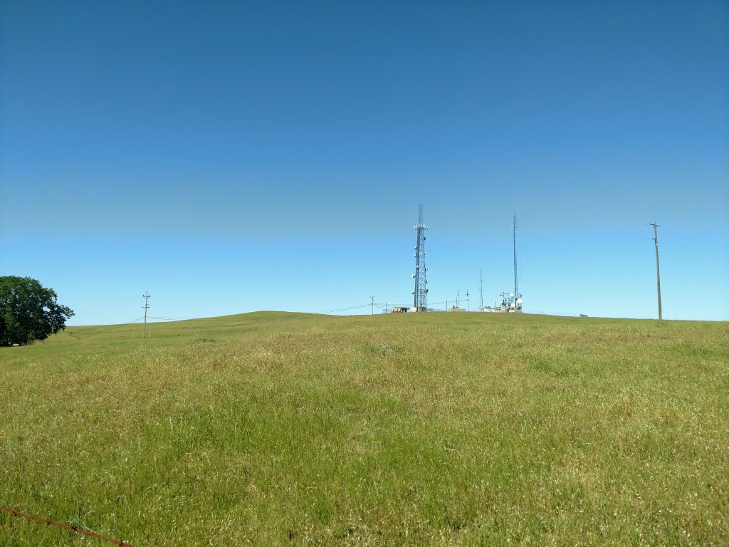
Unfortunately this is the highest open-access part of the park but maps indicate Sonoma Mountain's 2,463' summit is public hands. There's a fence that halts access from the Jack London State Park Highpoint but on the other side there's clear evidence for trail-building and another bench in the distance. The range highpoint is about 1/3rd of a mile Southwest.
The return took almost as long as the ascent for me due to uneven footing and plenty of ups-and-downs. Although mostly shaded, it started getting pretty hot in the mid-morning. North Sonoma Mountain is far enough inland to lose the cooling effects of the Bay on hotter summer days. I'm glad I was off before lunchtime.

No Comments