


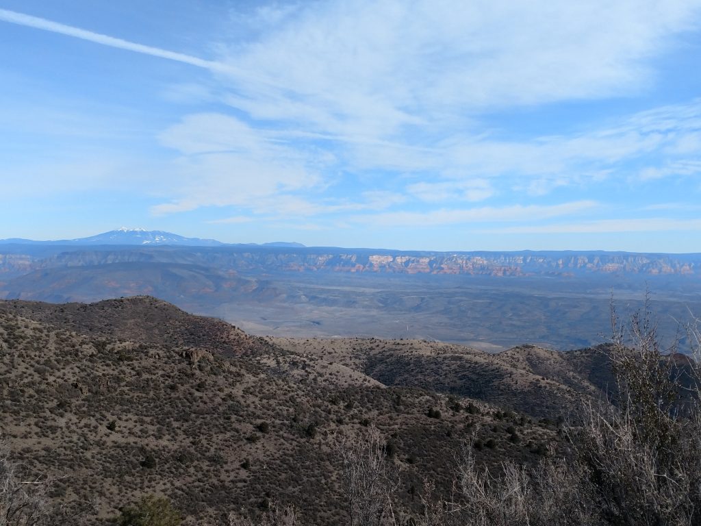
As I made my way West across Arizona, I came to the Verde River Valley and Sedona. I've taken may trips to Sedona in the past and marveled at the surrounding mountains. On this most recent road trip, I finally hiked Woodchute Mountain which is the tallest in the area. Its a generally easy hike with a short, open-country bushwhack to the summit.
Getting to the Woodchute Mountain Trailhead
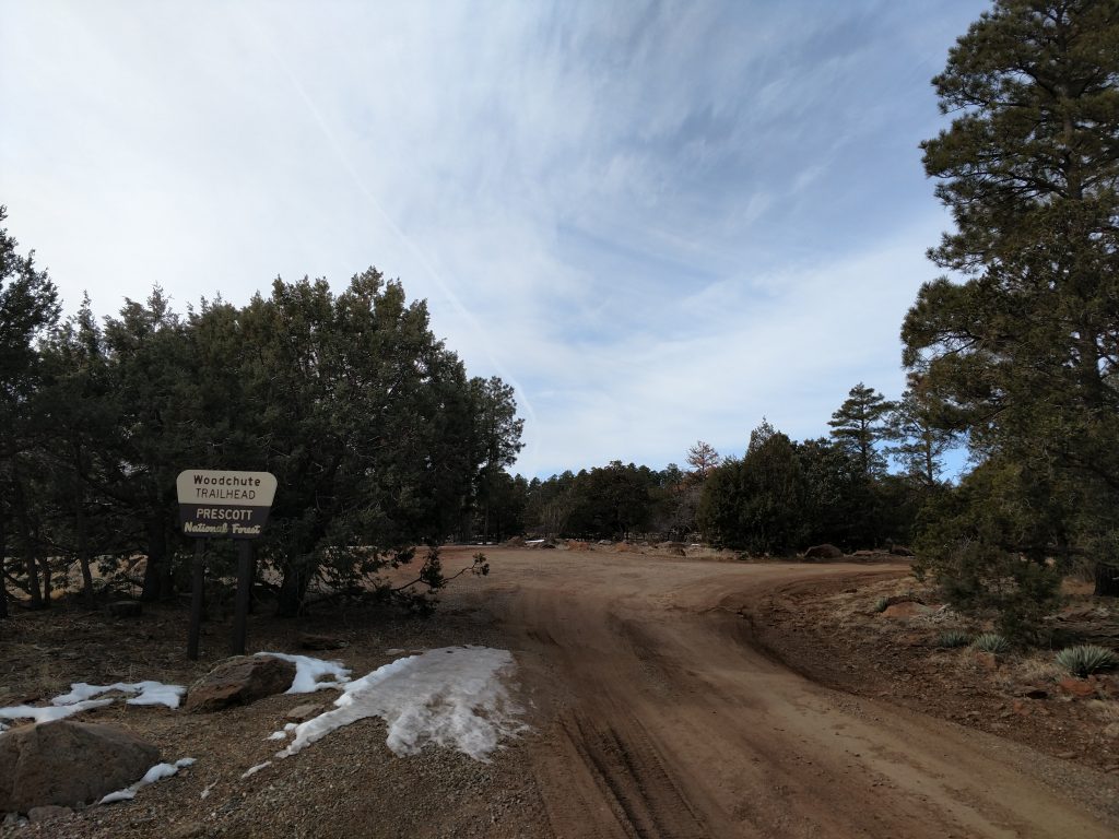
Woodchute Mountain is the highpoint of the Woodchute Wilderness which sits between the old mining town of Jerome and the small city of Prescott. Scenic Arizona Route 89A runs between the two locales and is a beautiful drive. At the pass known as Mingus Summit, there's a road heading North for Potato Patch Campground. Just before the campground, a road goes off to the left which heads to the Woodchute Wilderness Trailhead. Its about 0.8 miles from the junction and 1.1 miles from the highway.
When I visited in the winter, the gate was open but the road was covered in snow and ice. I decided against driving further and simply parked off the road near the highway. From the looks of it, the dirt road to the trailhead is in fairly good shape and can probably be driven by most any vehicle.
Here's my map of the region and the hike:
Woodchute Wilderness Trail
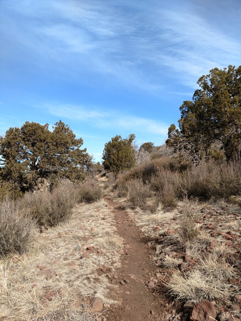
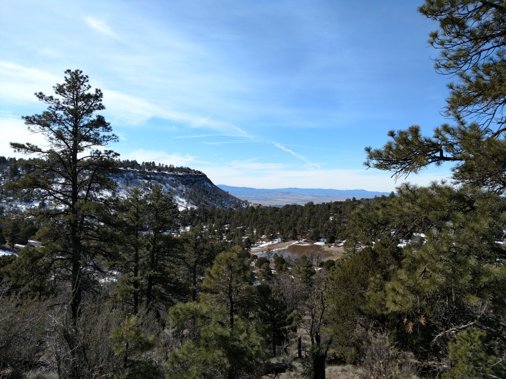
At the trailhead, there's a vault toilet and sign in sheet. I took the only trail headed out of the parking lot and headed in a Northerly direction. The views of Sedona, Oak Creek Canyon and the Verde River Valley almost instantly opened up. The trail gently gained elevation through this scenic section with only minimal trees obscuring the panorama.
The trail essentially paralleled the wilderness boundary for the first half. It was in great shape although naturally there was plenty of snow in February. Traction wasn't necessary but I'm glad I brought waterproof boots over trail-runners.
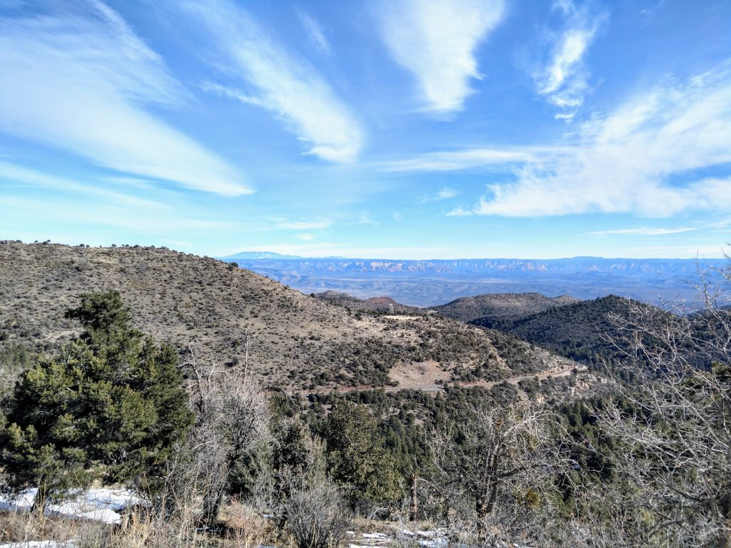
Woodchute Mountain's profile looks much more like a mesa than a summit. The top comes into view within the first third of the hike. I kept on the main trail as it circled another smaller, lower mesa and arrived at a trail junction near the wilderness boundary.
At the small saddle between Woodchute Summit and the small unnammed mesa, there's a few water tanks, presumably from the ranching days. From here, the trail became quite steep.
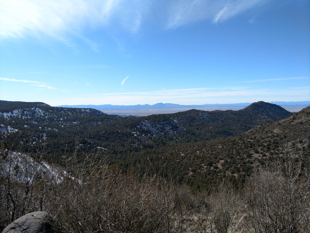
As the trail climbed, Prescott Valley became visible. Clear winter skies made me feel like I was on top of the world.
Bushwhack to the Summit
At approximately 7,600' and when the trail crests over the flat top of Woodchute Mountain, I departed from the path. From a bushwhacking standpoint, its was as easy as it gets. However, I imagine this might be scary to those unfamiliar with off trail travel.
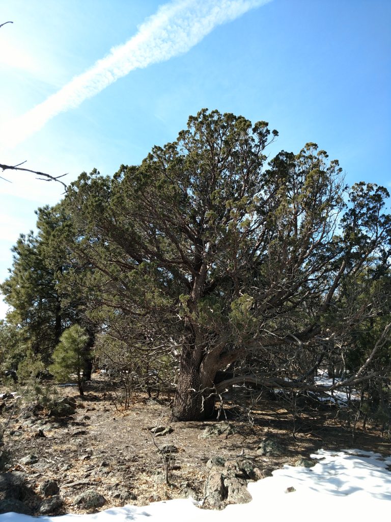
Using my GPS, I followed a nearly uniform Northwestern route through the woods until I stopped gaining altitude. The forest was relatively thin throughout the top of the mountain but the summit was not obvious. After about 0.6 miles of walking, my altimeter indicated I was close. I started poking around for any sign of a true summit. Eventually I found a cairn and summit register near some stout, muscular junipers.
The summit register was fantastic; it was full of famous names in the obscure world of peakbagging. I wasn't the only one who ventured up in the winter either; looks like people visit all times of year. Many had similar peakbagging goals.
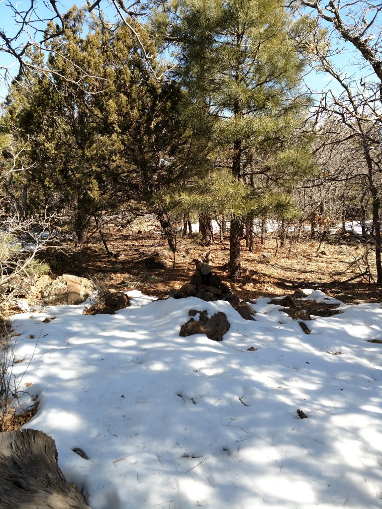
I returned on mostly the same path; its always difficult trying to find the same bushwhacking route. I knew if I simply walked South East I would eventually reach the main trail. if you do this mountain, a GPS map and altimeter are essential.
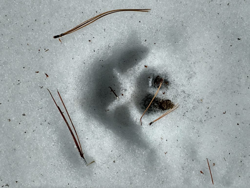
The rest of the way down was mostly uneventful though I'm certain I found some mountain lion tracks along the way:
For me, the hike took less than half a day; the ascent was gentle and the descent was just as pleasant.
Next up, Bill Williams Mountain!

No Comments