I climbed Blanca Peak in Southern Colorado in June of 2019 which felt more like a late spring ascent than a summer one. I had a successful ascent regardless.
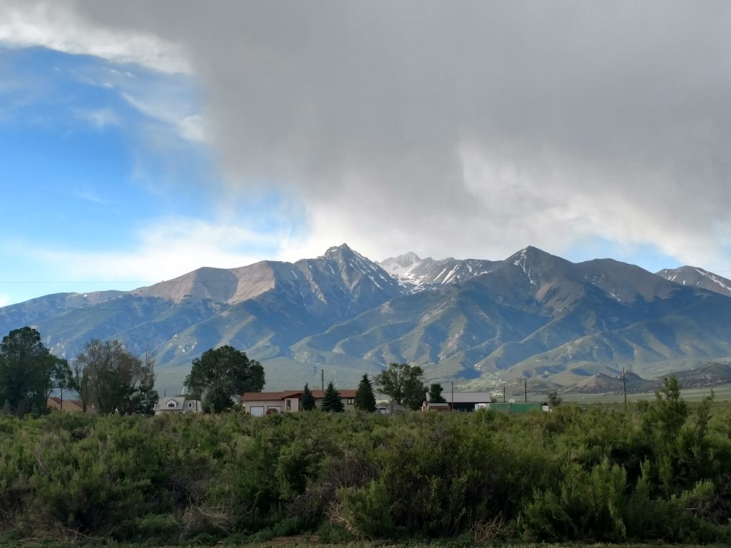
Mt Blanca is one of the most significant summits of the Colorado Rockies for many reasons. Its the tallest summit of the Sangre de Cristo Range and the tallest mountain at its southerly latitude in the state. Its the fourth tallest summit in Colorado, the seventh tallest in the contiguous US and 47th tallest summit in all 50 states.
From a topographic prominence standpoint, Blanca Peak is #46 in the contiguous US. It rises almost 7,000 ft above Alamosa, the largest city of the San Luis Valley. By nearly ever measure of a mountain, Blanca is exceptional. Obviously I wanted to climb it.
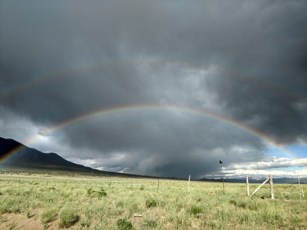
Getting to the Mt Blanca Trailhead and Lake Como Road
Typically Mt Blanca is accessed from Lake Como Road. Even a cursory search of Lake Como Road reveals its driving difficulty. Its no exaggeration that the road is one of the toughest 4-wheel drive roads in the country. Its the first time I've heard the term "severely modified 4x4". In any case, I parked my Subaru Outback less than a few miles from State Route 150 and hiked to Lake Como from there. Probably 95% of high clearance and 4-wheel drive vehicles (and drivers for that matter) can't make it more than a 3-4 miles up the road in my estimation.
At the lowest reaches of Lake Como Road are several areas to park. I parked well off the road, packed my gear and began a late afternoon hike to Lake Como. The total distance from where I parked to Lake Como was 6.76 miles.
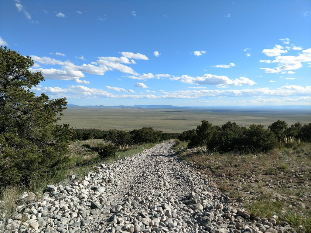
The scenery and views were naturally phenomenal. The hiking on the other hand was grueling. Its exposed, extremely rocky and very, very steep. I didn't enjoy the hike up or down but there was no getting around it. It took me roughly 4.5 hours hours to make the trek.
Camping at Lake Como
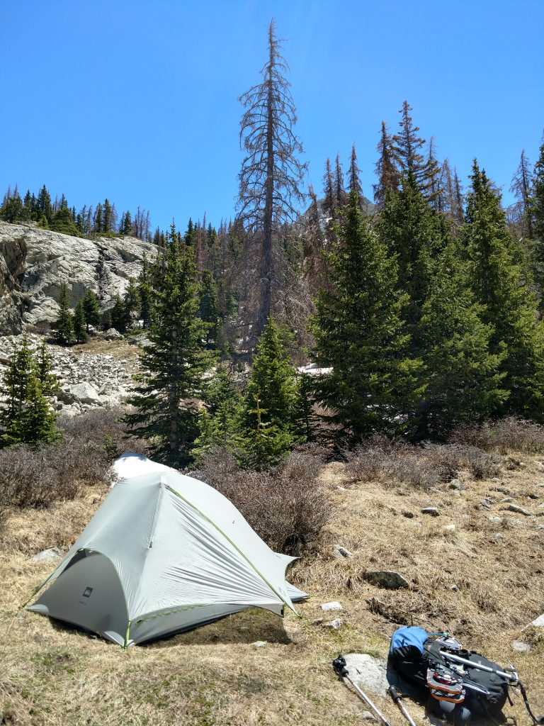
I'm astounded to learn that the western shores of Lake Como are technically on private property. Camping is prohibited by law and discouraged by guidebooks. The rough road circles around the North shore of the lake before terminating on the eastern shore. I found only one flat campsite with a makeshift fire pit. On busier weekends with better conditions, I'm sure this area fills up quickly. As for me, I had the whole range to myself. I nodded off around 9PM and rested as best I could for an alpine start
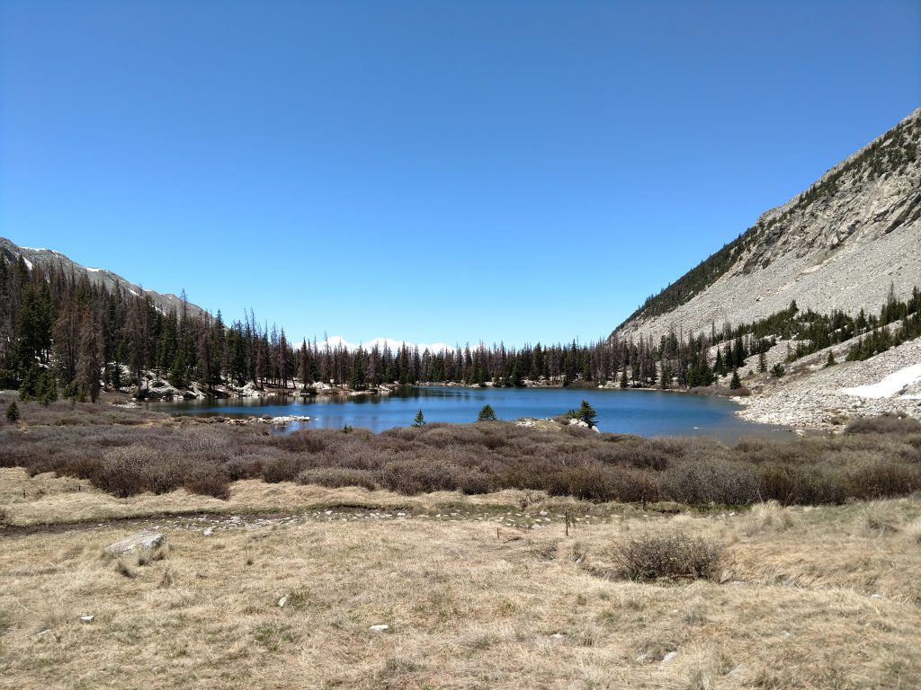
Mt Blanca: Northwestern Ridge/Face
Up and at em'! With the snowpack typically seen in the late spring but enough daylight to soften conditions early, I was on the route by 4:30AM. Lake Como sits at an altitude of about 11,800' which is about 2,500' lower than the summit of Blanca Peak. People typically combine Mt Blanca with nearby Ellingwood Point, also a Colorado 14er. This typically takes most of a day but conditions didn't allow a bag of Ellingwood on my peak day.
Even at 430AM, I felt like I was running late. Snow began covering the route from there to the summit. I followed the remains of the 4x4 road up the chain of lakes to the Northwestern ridge. I quickly rose above treeline on this road and the route was easy to follow.
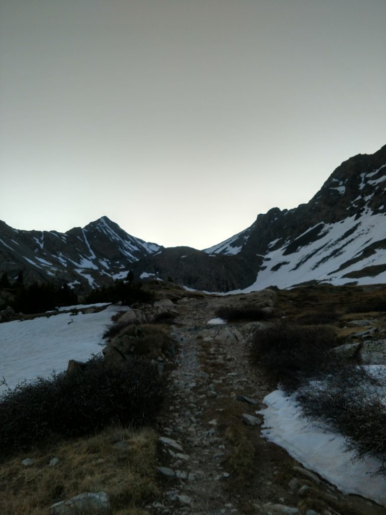
From Lake Como up the first mile, I simply crossed the snow in boots. Just below Blue Lakes, I found a slope of Styrofoam snow which I easily negotiated in mountaineering crampons and ski poles.
Blue lakes were totally frozen... in late June. What a year! I found a relatively flat route around the lakes, then climbed a class II snow covered route up to Crater Lake. From there, the route up Blanca Peak was very obvious.
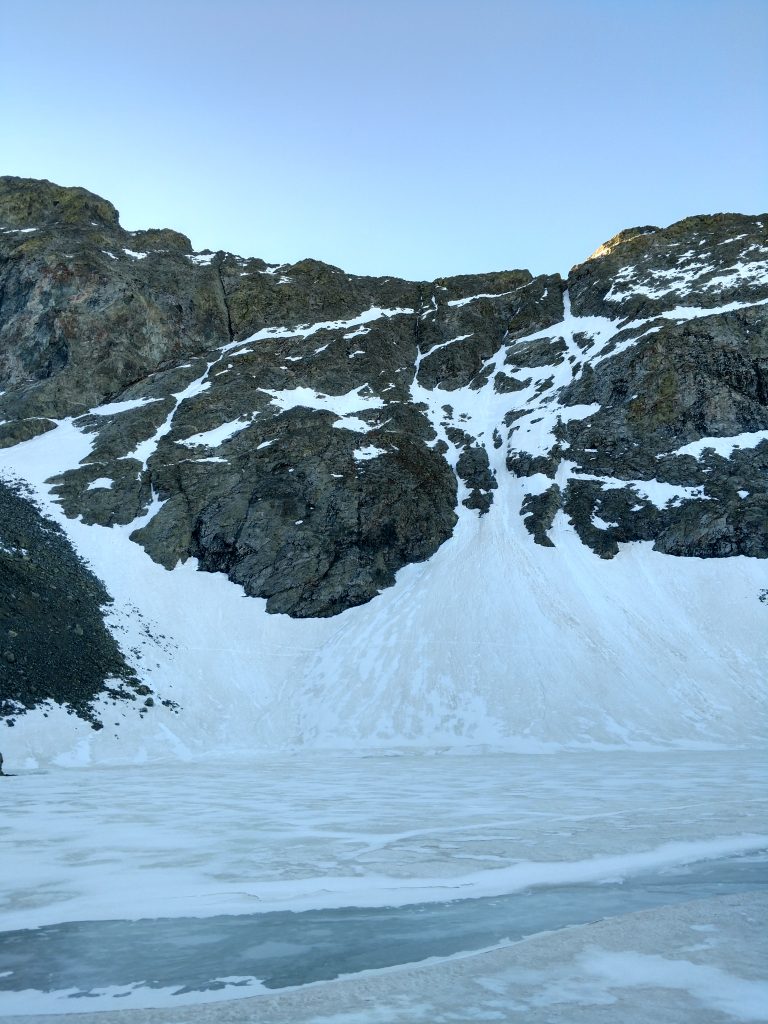
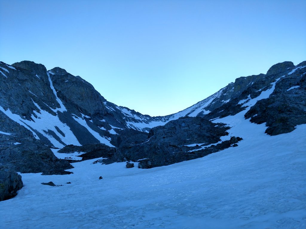
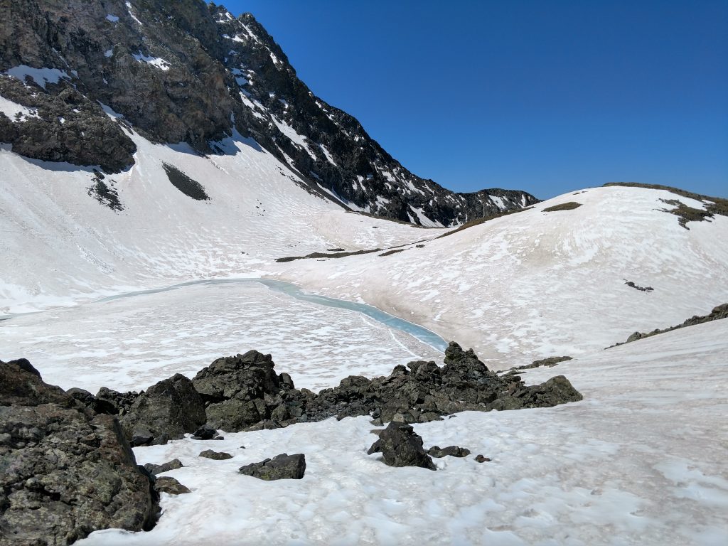
From 13,500' to the Summit
I slowly gained altitude on the totally snowcovered slopes to about 13,500' . I saw a clear snow climb route to Ellingwood Point- if you want to climb both peaks on the same trip, climb Ellingwood first from around this altitude given its South facing slope (this was my mistake- by afternoon it was nothing but slush).
It was easy for me with excellent early morning conditions to gain Blanca Peak's northwest ridgeline. From here, I kicked off the crampons for a bit and climbed a mix of snow and talus up to nearly 14,000'. Crampons and an ice axe were necessary after this and I found one short but exposed section of class III scrambling that made me nervous. Other than that, it was straightfoward and I reached the summit at 9AM exactly.
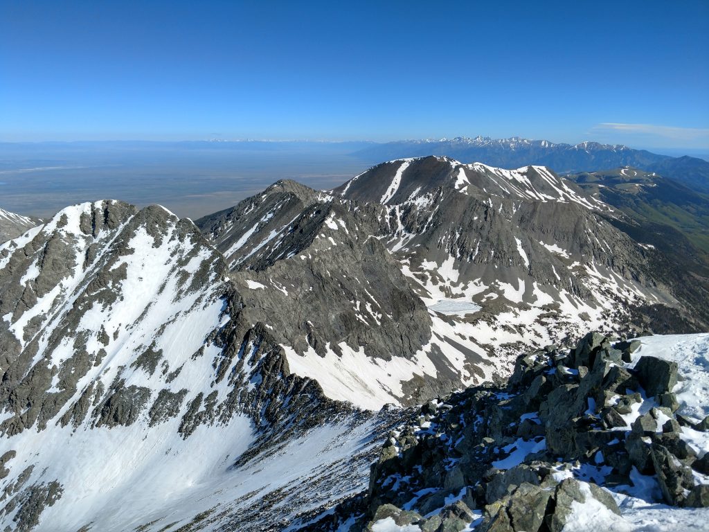
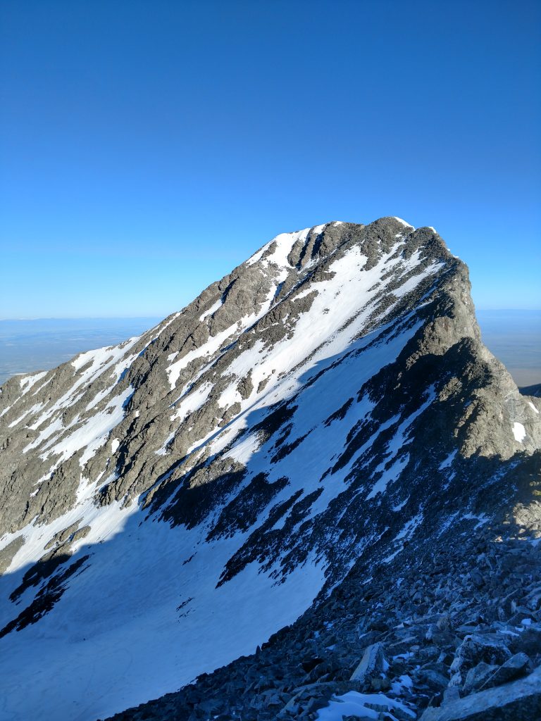
At the top of Mt Blanca and the Descent
It was clear and windless at the summit. I used the fair conditions to take many photos and some heroic selfies. Beginning my descent around 930, I almost instantly ran into slushy conditions. I further regretted not starting earlier. Once the sunlight touched the snow-covered summer slopes, I began post-holing and sliding. It was particularly grueling between 13,000' and Blue Lakes. Ellingwood Point wasn't happening that day.
I made it back to Lake Como at around 2PM and broke camp. Though it was downhill, hiking Lake Como Road in either direction always feels like an uphill struggle. Just too much scree for a "hike".
It took another 3-4 hours to return to the car and the heat was severe at lower altitudes. Apparently climbing Mt Blanca is all about precise timing!
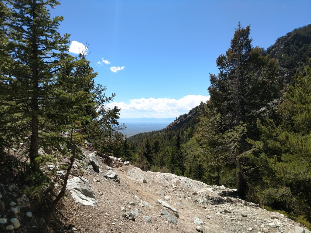
The only people I saw on the whole trip were some hikers and 4x4 drivers at lower altitudes on Lake Como Road. This normally packed climb was nothing but solitude for me. Thank goodness!
In retrospect, I liked my idea of a late afternoon climb to Lake Como from the valley; it cut down on sun and heat exposure but I didn't have to set up camp in the dark. I wished for an earlier start on summit day. Had I all the time in the world, I would have done it in three days, taking extra time for Ellingwood Point and avoiding a scalding descent on Lake Como Road in the afternoon. But I climbed Blanca Peak and I'll return some other time for Mt Lindsey, Little Bear Peak and Ellingwood Point.


No Comments