Highpoints is undoubtedly at the intersection of adventure and folly. Hiking, climbing or driving to the highest point in 50 spaces demarcated in recent times serves absolutely no purpose nor practice use which is perhaps why its so enticing. Here's my account of my 33rd state high point.
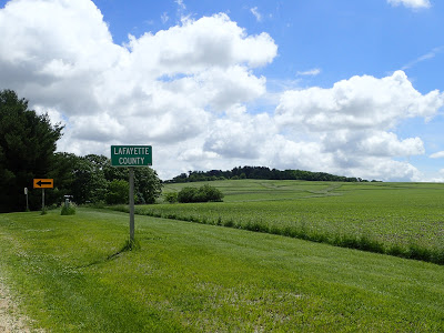
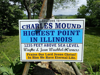
Illinois is a flat state though not as flat as people suspect, especially in Jo Daviess County. Located in the "Driftless Area" hills and rugged topography are not as uncommon as you would expect. Herein lies the high point of the state- Charles Mound. At 1,235' , its one of the shortest high points in the country.
Like many midwestern high points, its on a farm. Again, this is a high point that is on somebody's privately owned land. There are several high points that are on private land, including Sunflower Mountain (Kansas), Black Mountain (Kentucky), White Butte (North Dakota), Driskill Mountain (Louisiana), Hoosier Hill (Indiana), Campbell Hill (Ohio)
(Rhode Island's infamously restricted high point, Jerimoth Hill, has more recently become completely publicly owned)
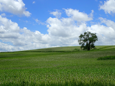
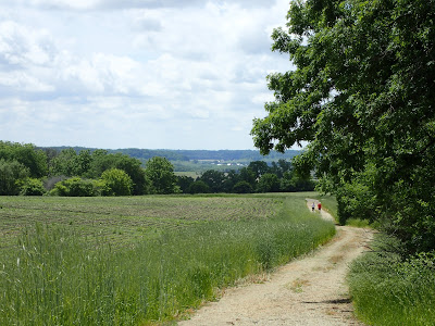
Note that as of 2016, it appears that driving to the summit is not permitted. Park near the driveway and be sure not to block traffic! The hike up to the summit is about 2.4 miles, round trip. It involves a walk up a well-maintained dirt road to the very obvious summit marker. Despite its modest elevation, there are a number of expansive views of the beautiful NW Illinois scenery. Rolling hills ripe with crops make is an especially pretty sight in the Midwest.
As there are only about 4 weekends per year when hiking is permitted, one of the interesting experiences of this hike is the bottleneck of other highpointers. I met people from at least 10 different states on the morning I hiked. Every quadrant of the country was represented that day. We all swapped stories of victories and failures on more daring summit attempts.
 |
| The highpoint from a distance |
Thank you to the gracious landowners who allow hikers like me to get to the summit!


No Comments