This is a new-to-me East Bay hike which has great views of Mt Diablo and the surrounding valleys. Its a relatively easy 5 mile hike which takes about 1/2 a day.

A hike worth the drive
In an effort to add variability to what we typically do on the Peninsula, I'm exploring some East Bay hikes. I was intrigued by a recent visit to Concord for a
Brew Festival. Although that trip didn't include anything outdoorsy, it gave us plenty of reasons to come back. That's when the idea of "Hike-then-Brewery" came to be! Our plan: find a 1/2 day hike near to
Epidemic Ales then hit em up after!
Park Overview
This hike is in
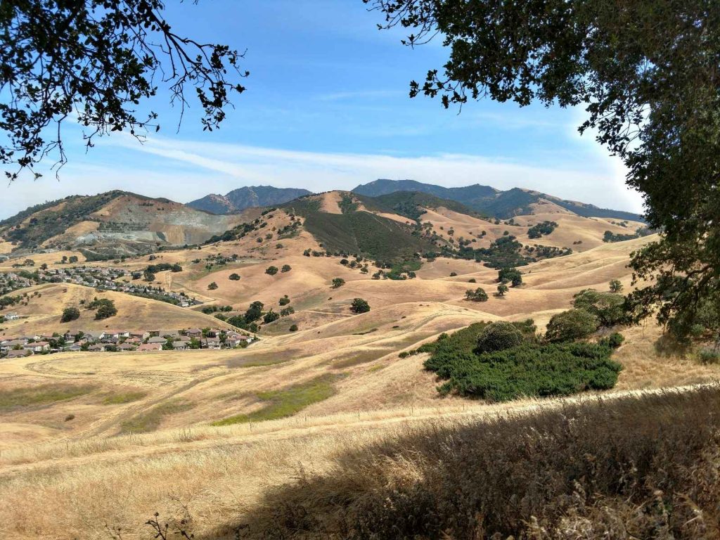
Lime Ridge Open Space, managed by the City of Walnut Creek. The park is bisected by Ygnacio Valley Road, creating a North and South Section. Lime Ridge's North section is less steep and has excellent views of Concord and the Carquinez Strait. The South region is far more extensive with a network of jeep trails, single tracks and herd paths. Glorious views of Mt Diablo and its foothills make this a popular place to hike. Even so, we didn't see very many people on an otherwise beautiful, 65-degree Saturday in June. Here's a map of where we hiked-
Ascent to the Ridgeline
The Parking area at the end of Valley Vista Road, across from Boundary Oak Golf Course serves as an excellent jumping off point for exploring Lime Ridge. There are dozens of loop hike options here. We picked up a complementary map of the area at the trailhead and set off.
We started up the Ohlone Trail which connected with the Paraiso Trail after about 0.25 miles. It was steep and unshaded so I'm glad we brought a ton of water. From here, the Paraiso Trail takes a fairly direct assault up Lime Ridge, gaining about 450 feet of altitude in 0.6 miles. Thankfully, we conquered most of the elevation early on. As we ascended, the views become phenomenal.
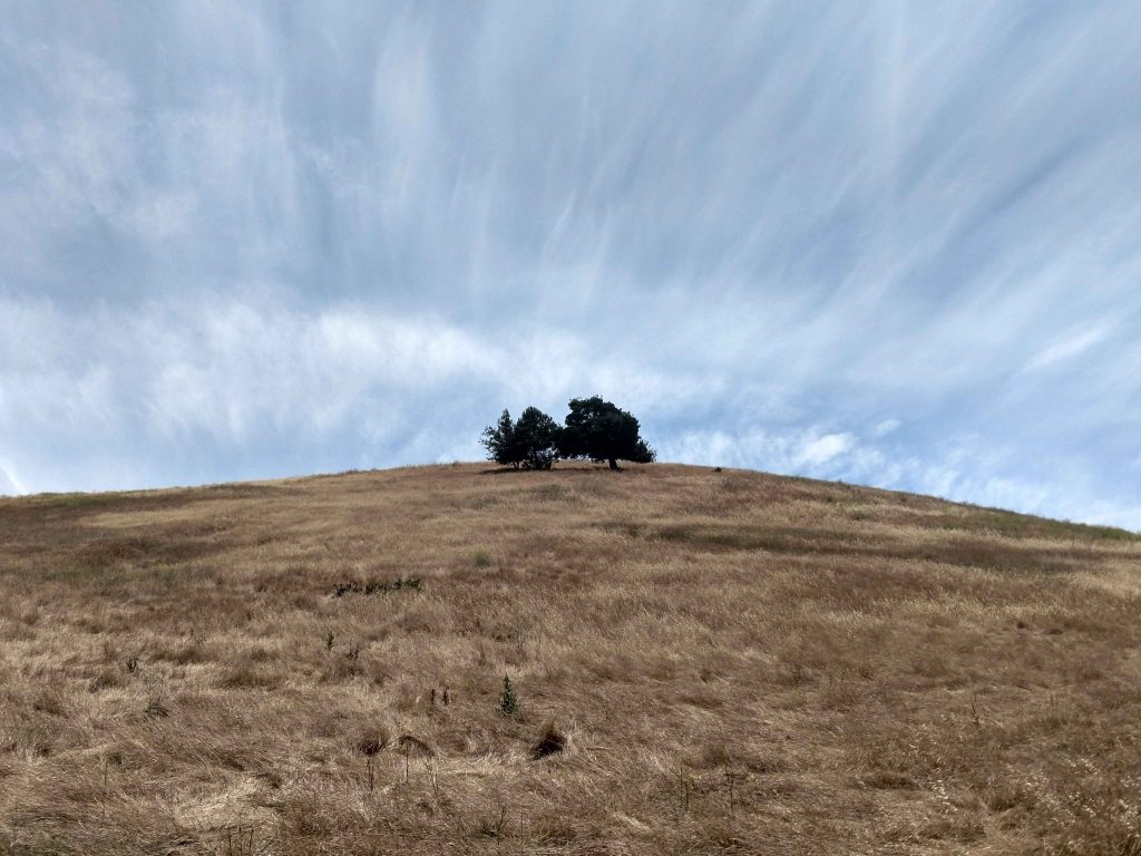
The Paraiso trial intersects with the Manzanita Trail at Lime Ridge. By turning Northwest (left) we continued along the main spine. there were a few more up-and-downs but most of the elevation gain was behind us. Although the Manzanita trail is the most straightforward route along the ridgeline, we chose to deviate on the Lime Ridge Trail which was far more shaded. At an altitude of about 1,000ft, we reached a confusion six way intersection.
Six Way Intersection and Down the Ridgeline
Though not terribly well marked, this intersection allows a shortening of the loop. The wide, well graded trail headed West (to the left if coming off of the Lime Ridge Trail) wraps back around to the Ohlone trail and then parking area (2.85 miles total). If we went straight, we would have topped out on Lime Ridge then taken the trail down the Blue Oak Trail back to the Ohlone Trail (4 miles total).
We went for the full 5 mile loop by taking the Paradise Valley trail which heads North by Northwest from the six way intersection (second right). I'm so glad we did because we came across a hunting Red Tail hawk who managed to catch a snake, then feed it to her chicks!
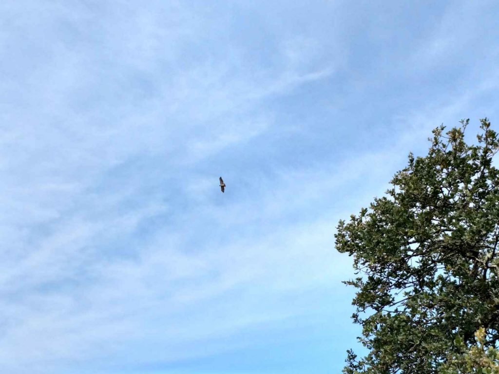
Man I wish I had a telephoto lens! Even with a naked eye, that was a tremendous sight.
Ohlone Trail to Parking Lot
After spending time in the shaded woods, the trail nearly intersects Ygnacio Valley Road before headed back towards the parking lot. There are several ways to get back between the Ohlone, Buckeye and Blue Oak Trail. A direct way is evident if using the map. Ours was as follows-
- From the intersection of the Paradise Valley Trail with the Ohlone Trail, we went south for 0.4 miles
- We went Left or Southeast on the Buckeye Trail for 0.2 miles, crossed the four way intersection and continued on the Blue Oak Trail through 0.1 miles
- At the second four way intersection, we continued on the blue Oak Trail another 0.3 miles.
- At the final four way intersection with the Ohlone Trail, we headed Right or South along the Ohlone trail all the way back to the trailhead (1.2 miles)
We found an odd, unmarked site on the way; the Contra Costa County Police Department firing range. Though nobody was practicing on the day we visited, it was curiously devoid of any "no trespassing signs" when coming from the North. I'd suggest taking the Ohlone trail around it.
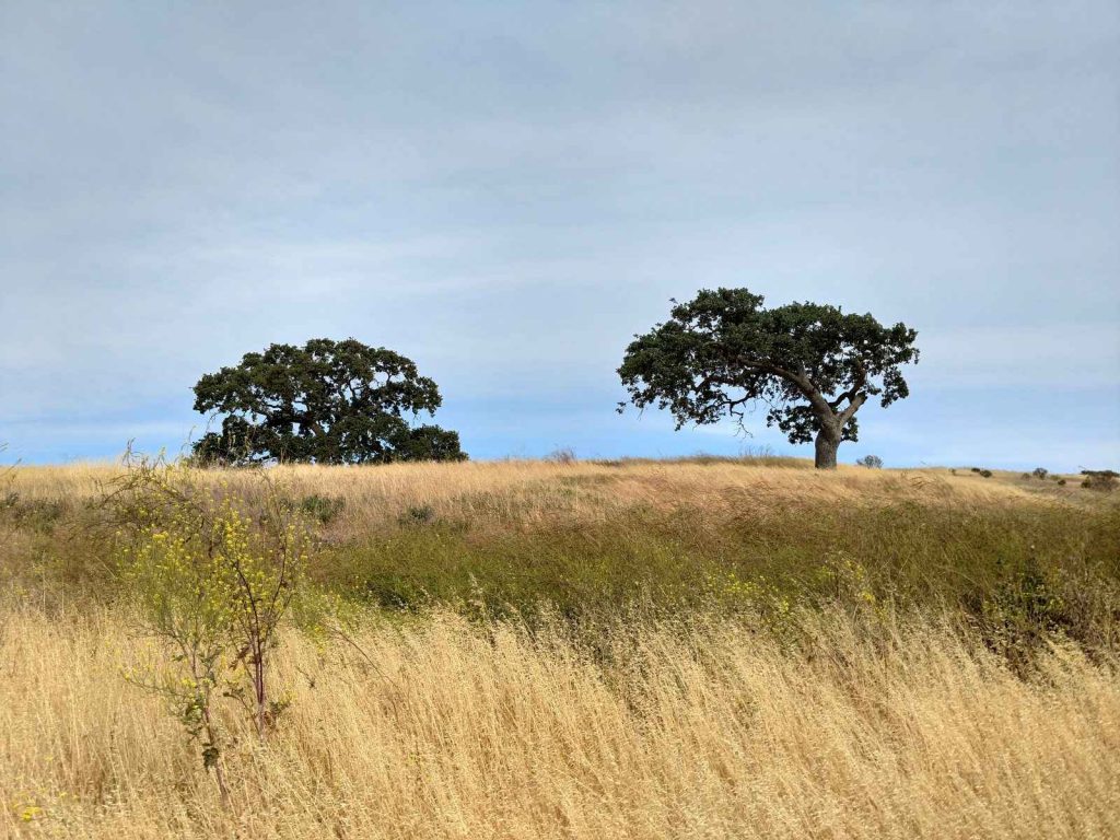
Overall, the hike back to the parking lot is relatively flat and runs through beautiful Oak Savannah characteristic of Northern California. Trails are generally well marked though I recommend a map in this section. We had no trouble finding our way back with good directions but I imagine its easy to get turned around.
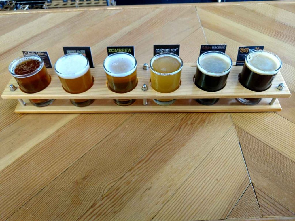
We wrapped up our hike with a visit to Epidemic Ales of Concord. This is our favorite brewery in the area and has excellent high-IBU IPAs and my favorite stout, "Nutty but Nice". As the name suggests, it tastes like a reese's in beer form. Thank goodness there's good beer at the end of the trail!


No Comments