


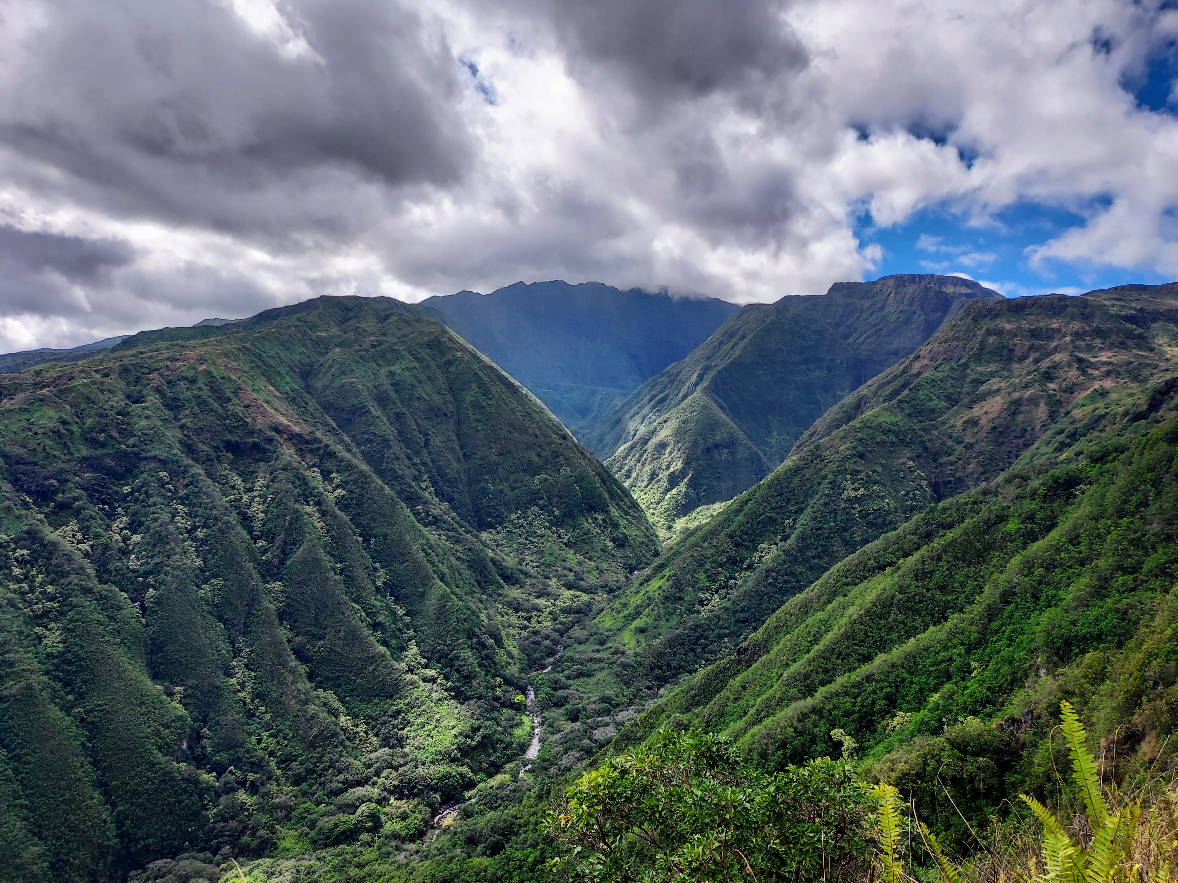
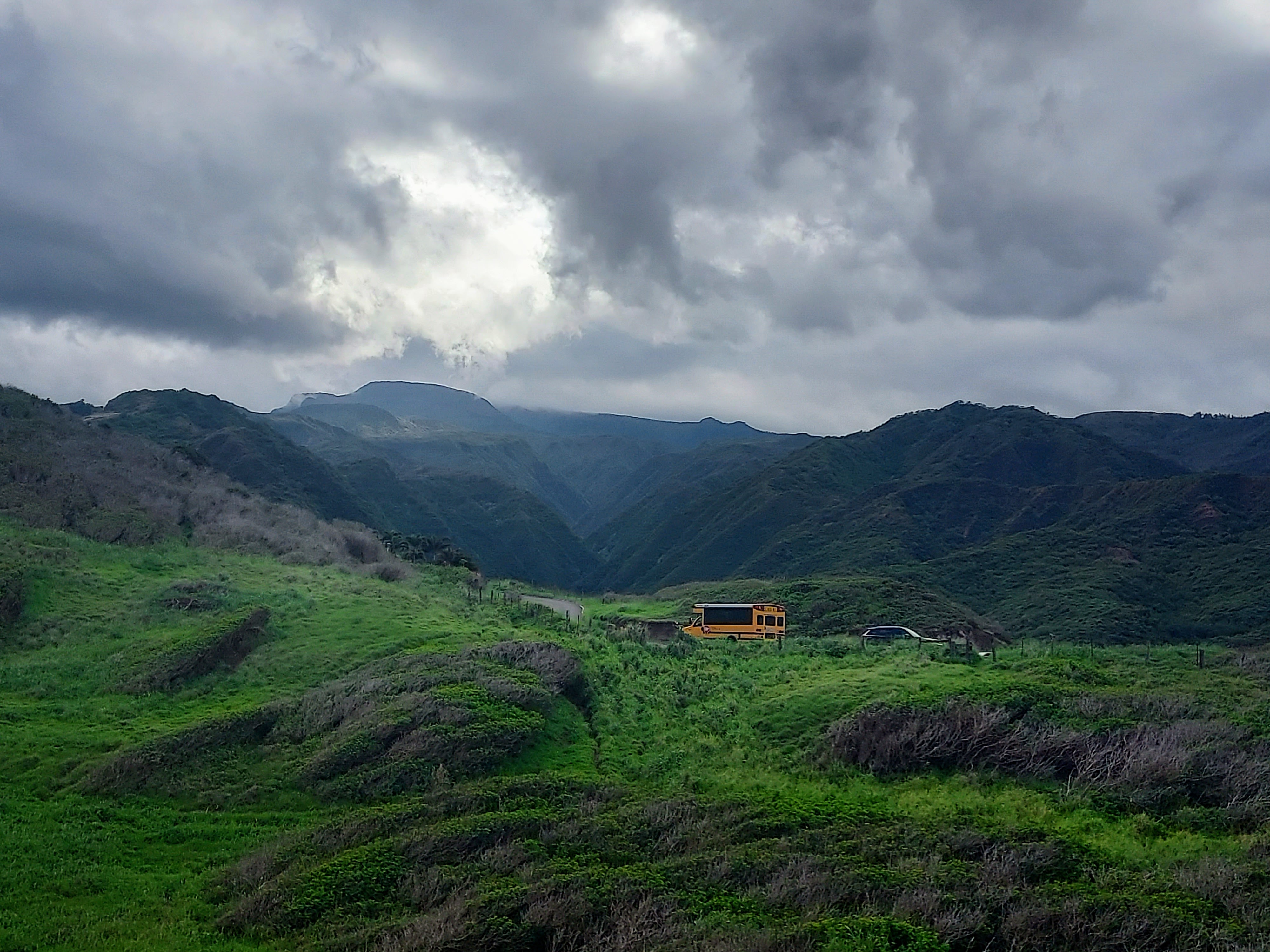
The Kahekili Highway, a notoriously dangerous road on Maui's west side, challenges drivers despite its paving in the 1990s. It continues to rank among the state's most difficult roads to navigate. Car rental contracts reportedly included clauses that specifically prohibited driving on this sinuous and narrow road, which clings to cliff sides. I discovered the highway while hiking the Waihe'e Trail (pictured above). I'm not sure I would do it again, but here are some highlights from the adventure.
Kahekili Highway Basics
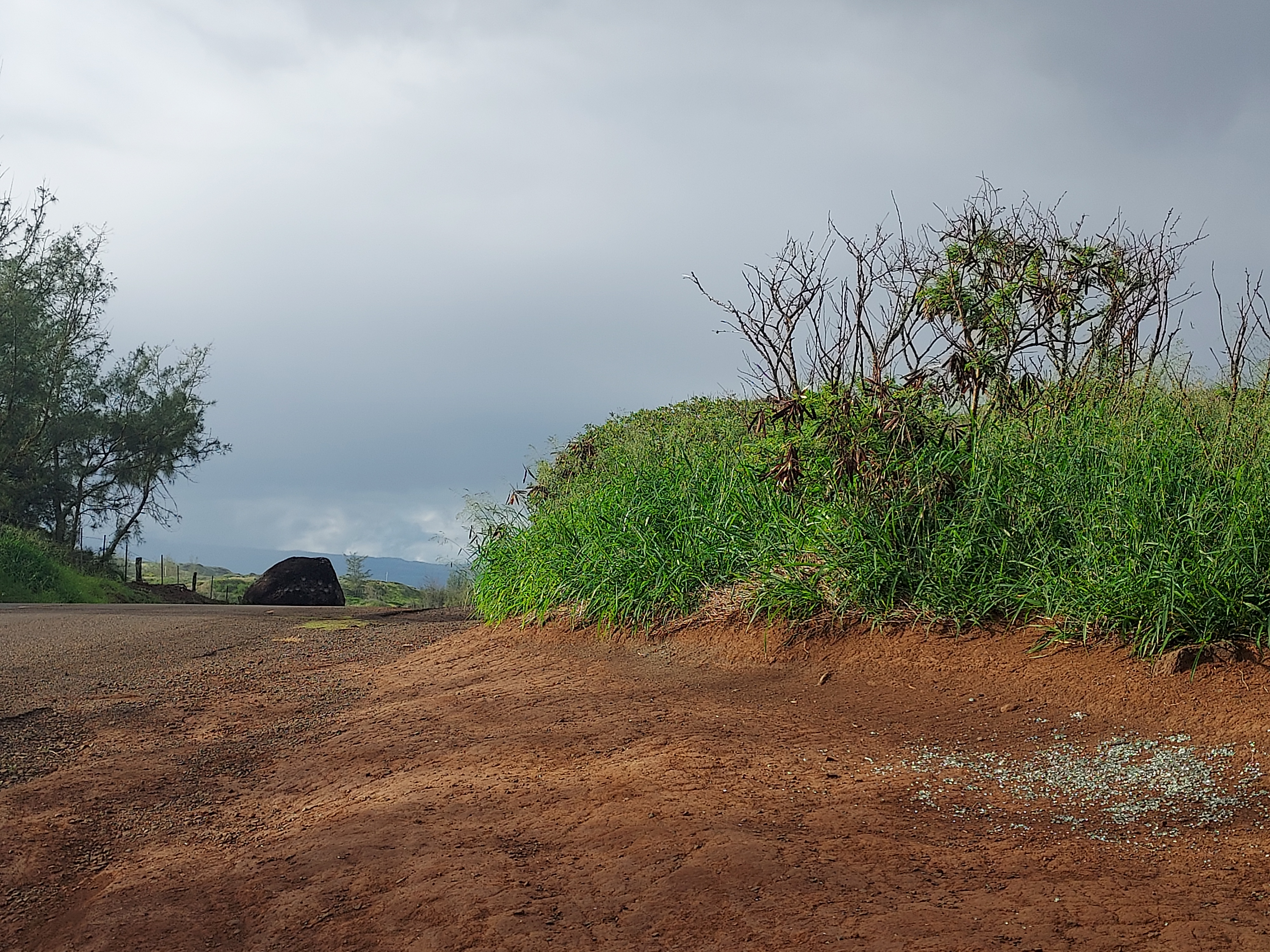
The Kahekili Highway is often described as the stretch of State Route 340 from just north of Waihee-Waiehu through Honokohau Bay, just east of Kapalua. It includes a 9-mile section where the road narrows to an extremely tight single lane. This section, with minimal room for passing oncoming traffic, lies between the Olivine Pools Trailhead and the Waihe'e Trailhead. Negotiating this part took me about 40 minutes.
Its entirely paved though the quality of the road is poor. Driving end-to-end takes about 1 to 1.5 hours. There are numerous places for stopping, either for sightseeing or short hikes. Without a doubt, the best hiking is the Waihe'e Trail, which could be considered the best hike in Maui's west side.
Like most of Maui, weather and conditions are unpredictable. Microclimates, seasons and altitude all vary despite the relatively short distance covered. In my afternoon, there was torrential rain, mist, fog and bright sun- classic Maui.
I did the road from Waihee-Waiehu to Kapalua and eventually through Lahaina.
First Stop: Waihe'e Ridge Trail
Wanting a half day hike near Wailuku/Kahului, I started with the Waihe'e Ridge Trail. This is a short but strenuous hike with phenomenal views. It is 4 miles out-and-back with about 1,500' of gain. From parking lot to lookout, the trail is a continuous climb.
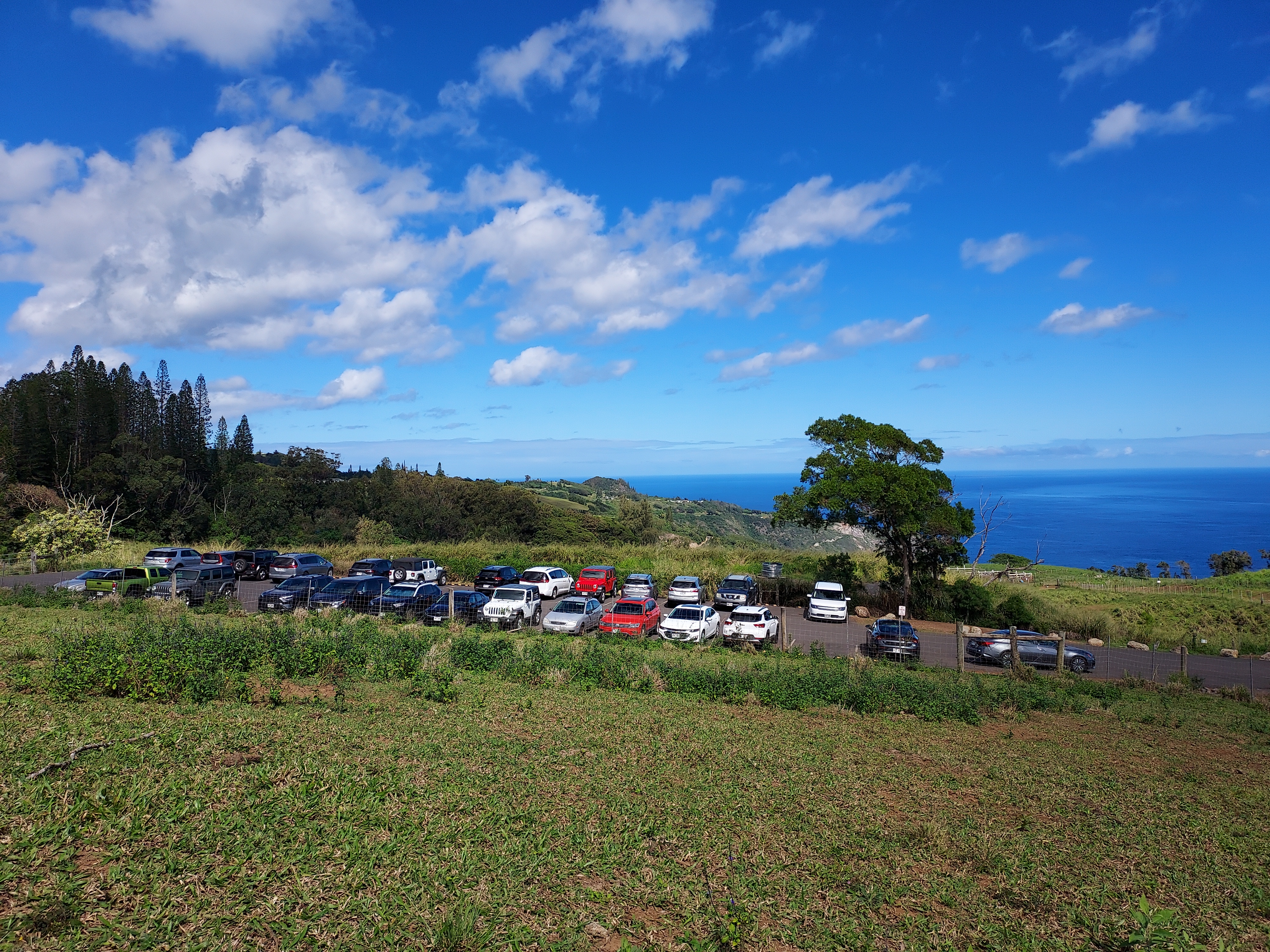
The road instantly narrows as it departs from the Wailuku area but the turnoff for the Waihe'e ridge parking area is obvious. Listed as Maluhia Rd on Google Maps, the turnoff is on the left if heading northbound. Though the road looks private, it is open to the public. Note this road is very steep, narrow and one lane. Take care in driving up and down. At the top is a parking area that can fill quickly and has room for at least two dozen cars. Broken glass all about the parking lot showed the evident problem with car break-ins for people who leave valuables.
From the parking lot, I passed through a gate/cattle guard and began the climb. For a short while its a walk up a paved road. For the most part, its a steep climb up a dirt road. Tropical humidity makes this hike even more challenging, in spite of the short distance covered. But the views are some of the best in the state.
At approximately 1 mile in, there's a glorious overlook of the Western Maui Mountains and possibly some glimpses of Puʻu Kukui, the highest point. Below, the Waihee River has carved a gorge a thousand feet deep, a dramatic chasm. It felt straight out of Jurassic Park, complete with the lush wilderness. The frequent buzz of helicopter tours overhead adds to the feeling.
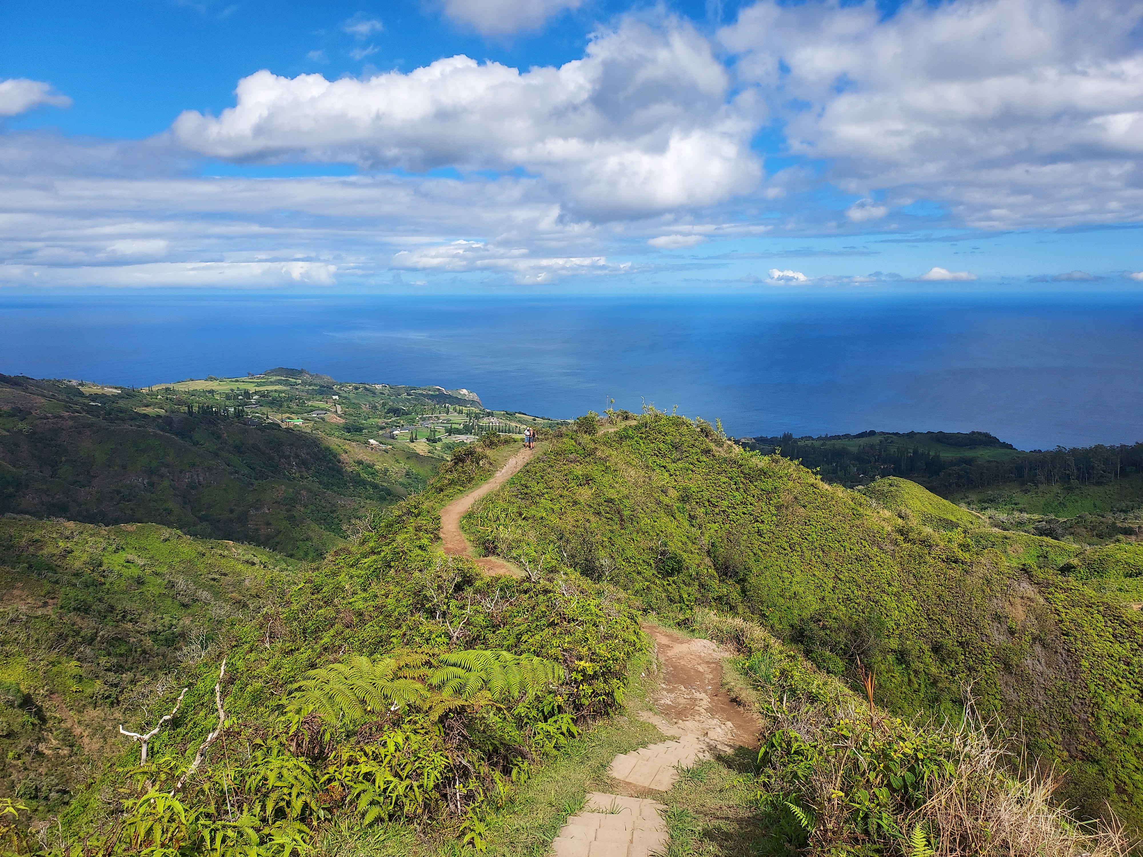
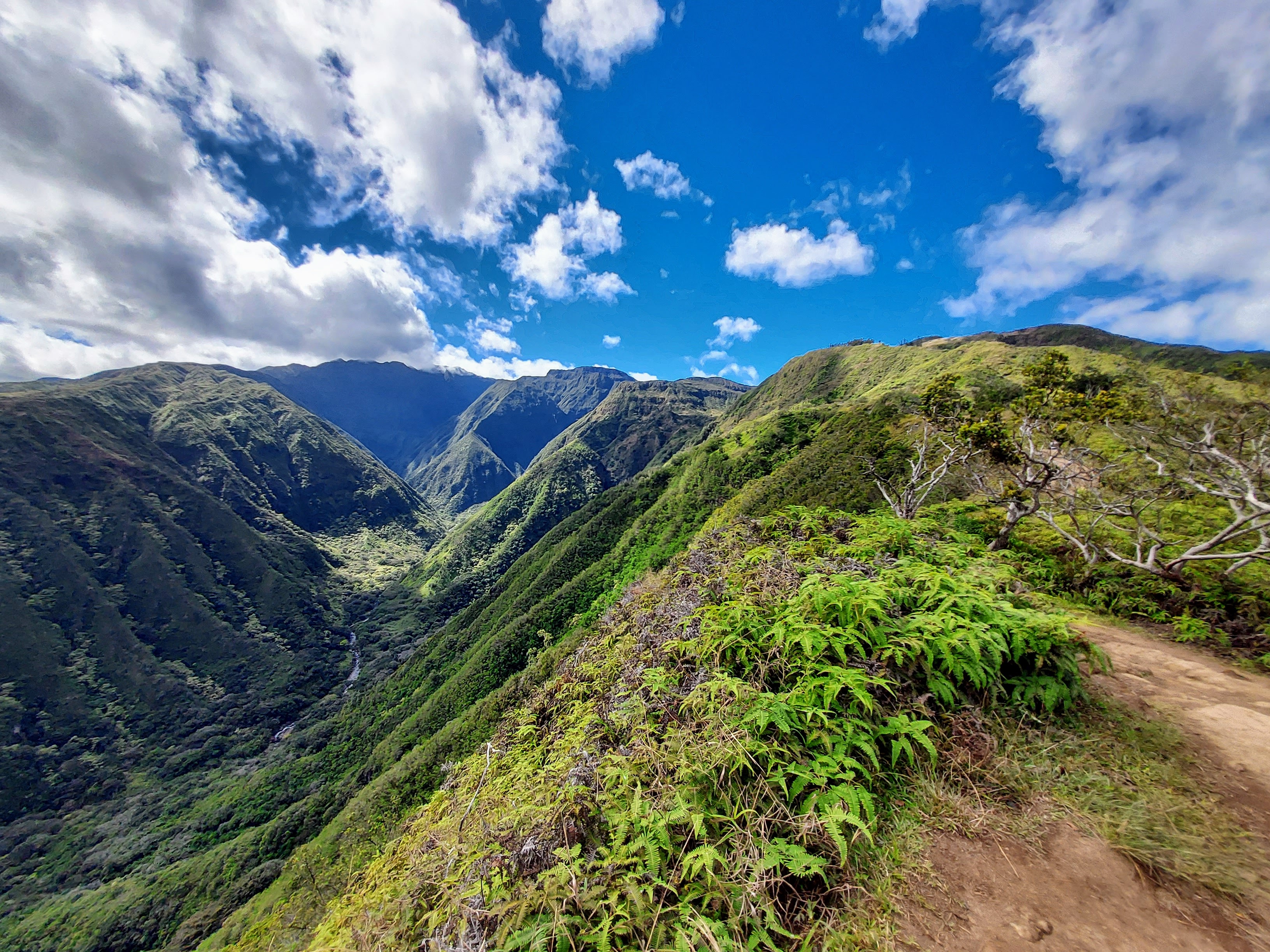
The trail abruptly ends at a wooden overlook with views of the Western Maui Mountains and distant Molakai. I took my lunch hear and basked in the panorama. Altogether it was my favorite hike on Maui outside of Haleakalā National Park.
Makamakaole Trail
Past the Waihe'e Ridge Trailhead, the Kahekili Highway becomes increasingly harrowing. You can snag another lovely hike just 1 mile further up the road. The Makamakaole Trail is about 2-3 miles, depending on how long you hike up the stream. Parking is challenging here with a few pullouts though this means the trail stays relatively uncongested. Along this hike there's 13 stream crossings and 2 waterfalls.
Pu'u Koa'e Overlook
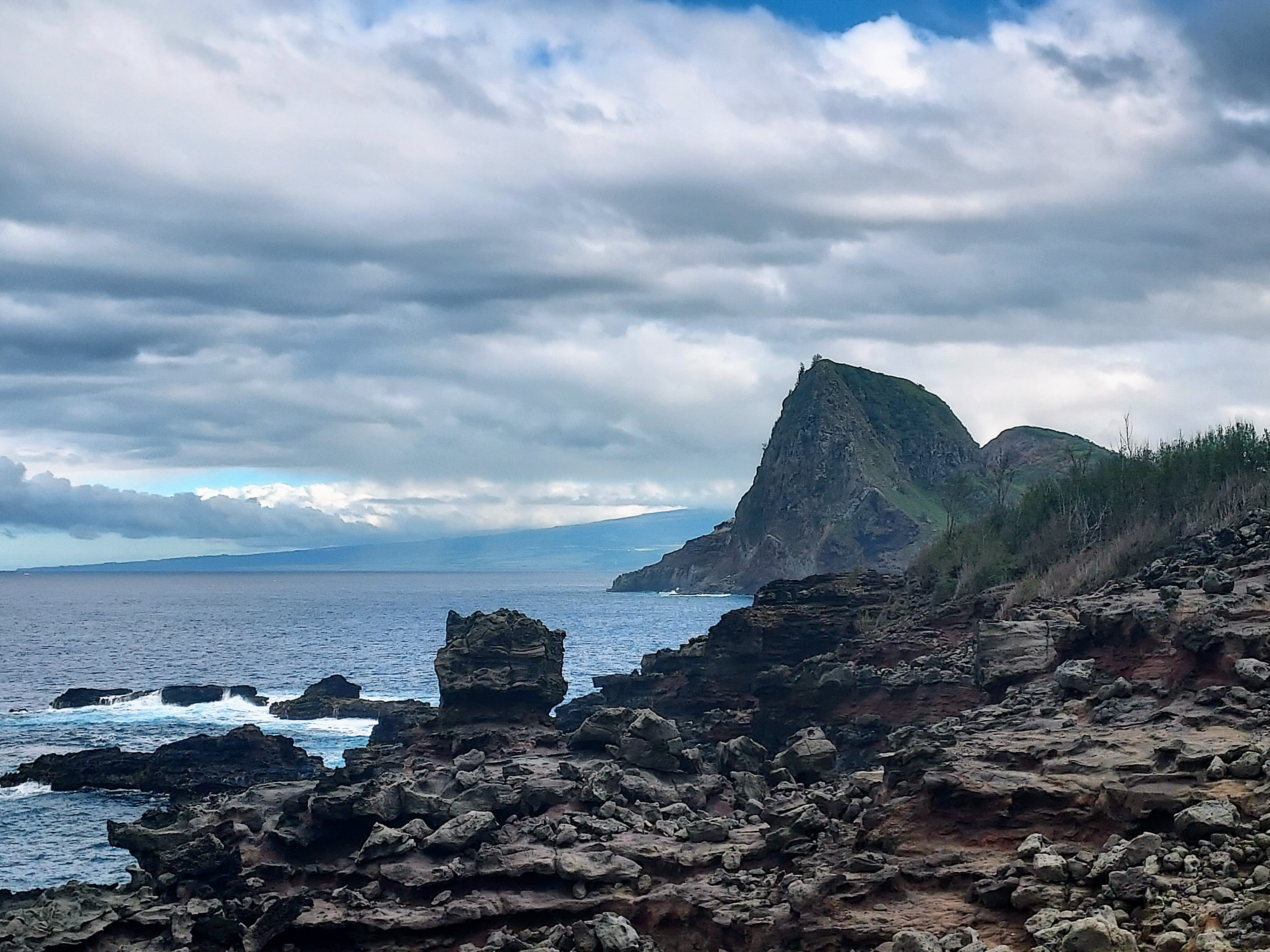
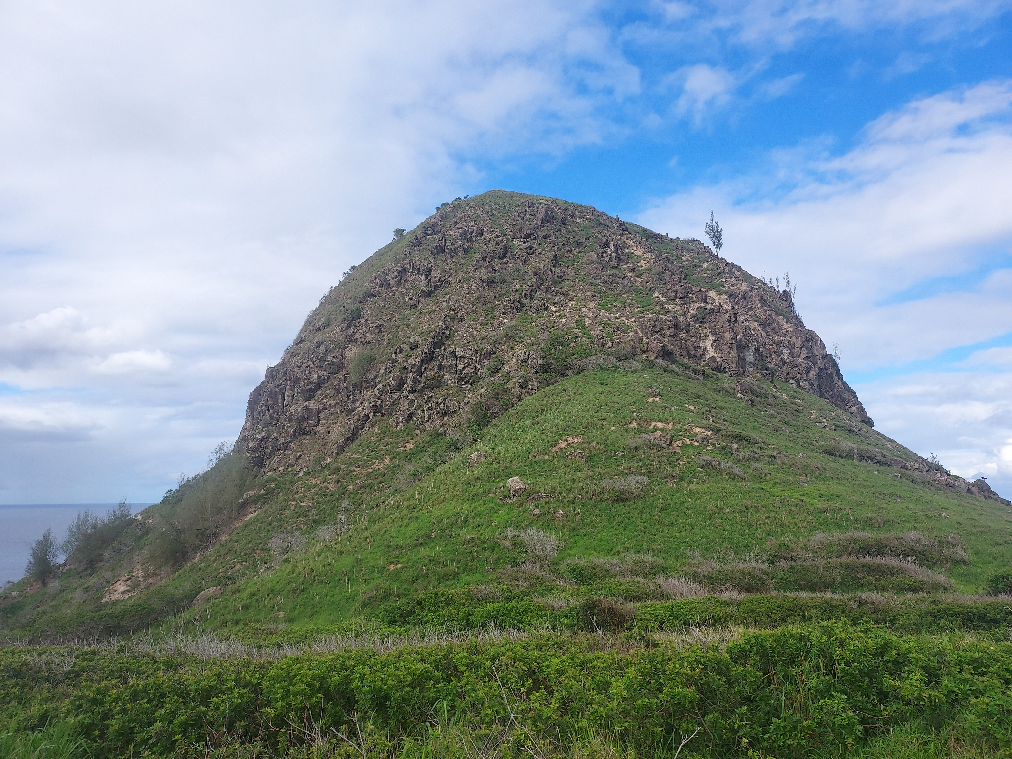
About 7 terrifying miles past the Waihe'e Ridge trailhead is Pu'u Koa'e, a massive monolith rising straight out of the ocean. There's a small pullout and a short herd path for viewing. Though there's not much hiking here, the lore and legend of the rock is worth pondering.
Just past Pu'u Koa'e is the small hamlet of Kahakuloa. There's a few vendors selling shaved ice and other island delights but otherwise its pretty low key. The beach looks great but it's unfortunately not open to the public.
Olivine Pools Trail
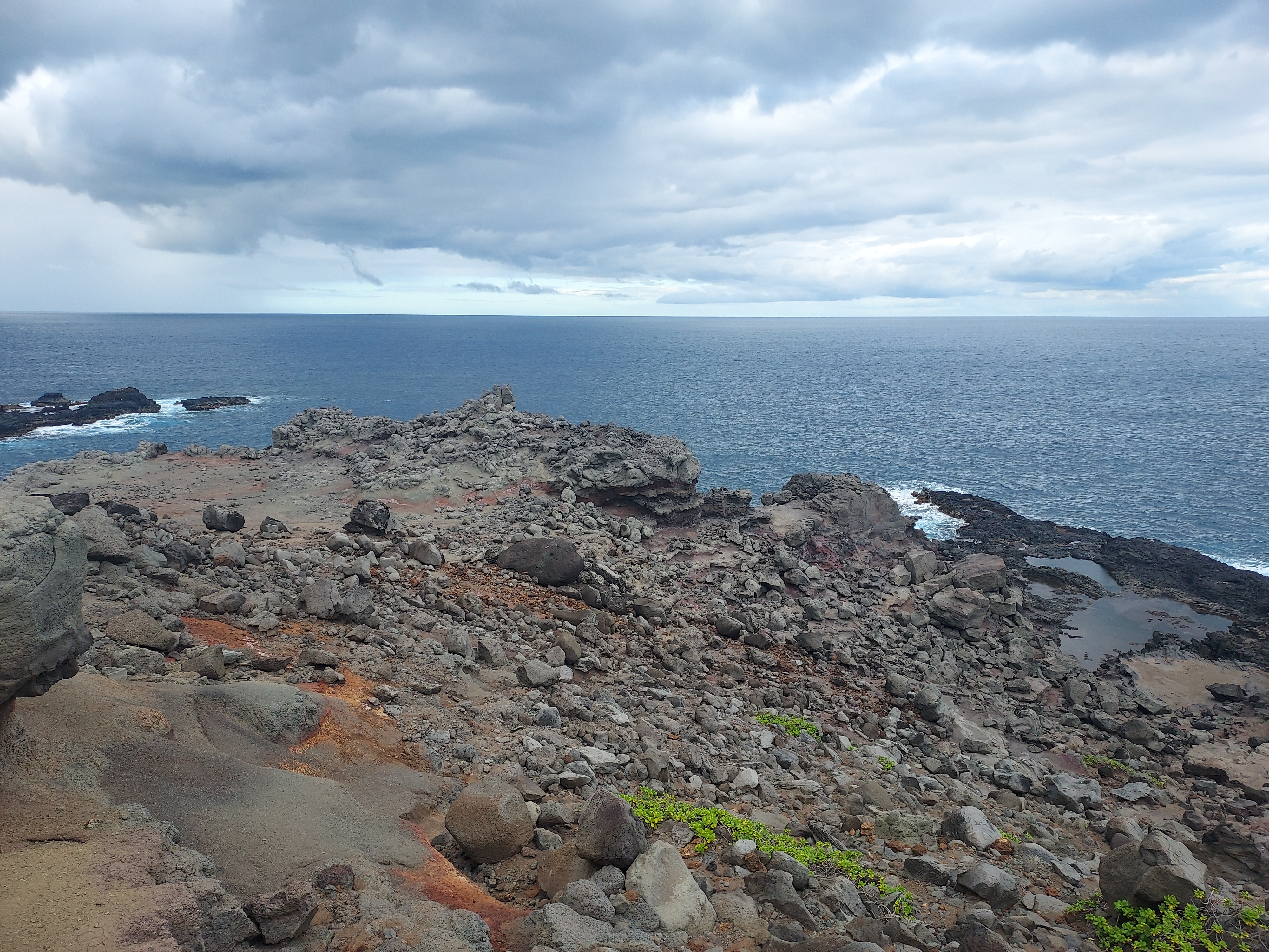
About 9 miles past the Waihe'e Ridge Trailhead are the Olivine Pools. The road gets noticeably better and wider past this point. The Olivine Pools reference some large, colorful tidepools rising over the cliffy coast of Northern Maui. People apparently try to swim here which I don't recommend. The pools are close to extremely rough waters and there's plenty of reports of people being swept away to the sea.
I preferred this spot for the dramatic views of Pu'u Koa'e. Otherwise it was worth skipping for some better hikes further along.
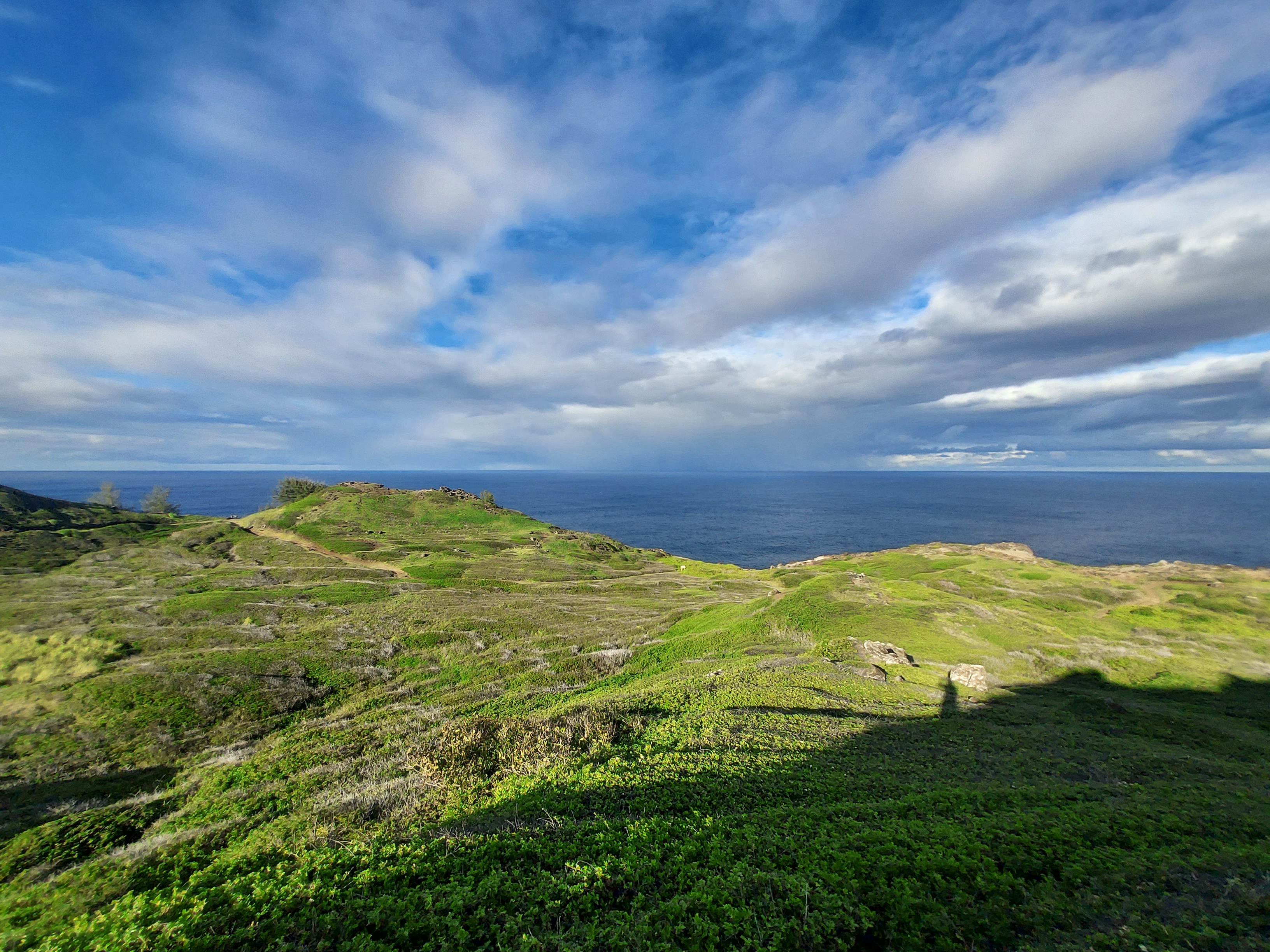
ʻOhai Trail
At 11 miles up from Waihe'e Ridge Trailhead is the second best hike on the Kahekili Highway. The ʻOhai Trail is short but has lovely views. The trail stretches over approximately 2 miles, winding through a landscape that is lush yet scrubby, and dotted with volcanic features. I suspect it's heavily affected by the strong winds hitting the northern shoreline, which could explain the absence of the dense forests found elsewhere on the island.
The trail is not too difficult and remains clear throughout. With a winter time visit, distant pods of breaching humpback whales were a common sight.
Nakelele Blowhole Trail
At a little over 13 miles past the Waihe'e Ridge Trailhead is the trailhead for the Nakelele Blowhole. This is a short hike to a geyser-like feature on Maui's northernmost tip. The rocky, cliffy landscape created a narrow hole where pounding waves will blast seawater several stories tall. Conditions are challenging to predict though going at high tide with heavy swells seems to be the local wisdom.
The trail itself is less than a 1/5th of a mile and poorly marked. There's a pullout for parking.
Acid War Zone Trail to Nakalele Lighthouse
This is a short, oddly named hike near the western terminus of the Kahekili Highway. Its an alternative to the more trafficked Nakelele Blowhole trail and also reaches the famous blowhole.
Final Notes
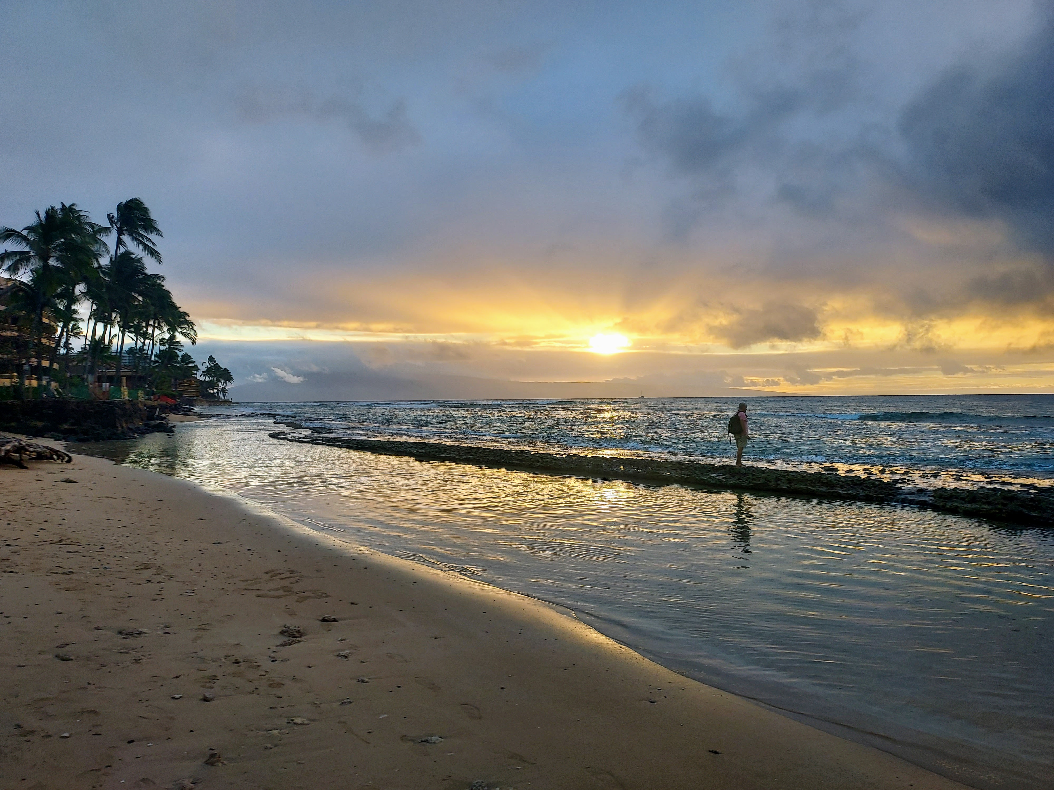
The Kahekili Highway unceremoniously ends at a hairpin turn near Honokohau Valley. Past this point, resorts are instantly dominant. Rather than drive back the way I came, I simply continued on through Maui's Western Coast and looping back to Wailuku.
Altogether, it was a great way to spend an afternoon on Maui, especially seeing some of the less-visited sights on the otherwise heavily traveled island.

No Comments