


Scarper Peak is one of the most significant peaks on the San Francisco Peninsula but you'd never know that unless you studied a map. Tucked away in previously inaccessible ranch lands, this area was apparently purchased by POST for public use. These days, its a gorgeous though well off-the-beaten track hike near Half Moon Bay and Rancho Corral de Tierra.
Although Scarper Peak is one of the most prominent summits on the San Francisco Peninsula, its doesn't get much more than a few dozen visitors a year (based on what I can tell from Peakbagger and AllTrails). For years I thought Montara Mountain, at 1,898' but Scarper Peak just overshadows it at 1,944' . Once I found that out, I hoped to climb it.
I doubt many people will be interested in ascending this summit other than compulsive climbers and peakbaggers like myself. To that end, Scarper Peak lands on the Bay Area Mountains with greater than 1,000' of topographic prominence list (Bay Area P1000) and the California Coastal Peaks List- note both lists have access issues for some summits.
Scarper Peak Trailhead
The trailhead that serves this hike is located off Coral Reef Avenue in Half Moon Bay, CA (click on link for directions). There's space for about 10 cars, roughly. Parking is free!
This area also serves as the primary access point for hikes in Rancho Corral de Tierra, a relatively new addition to Golden Gate National Recreation Area.
Here's a map of the Scarper Peak hike:
Part I: Rancho Corral de Tierra
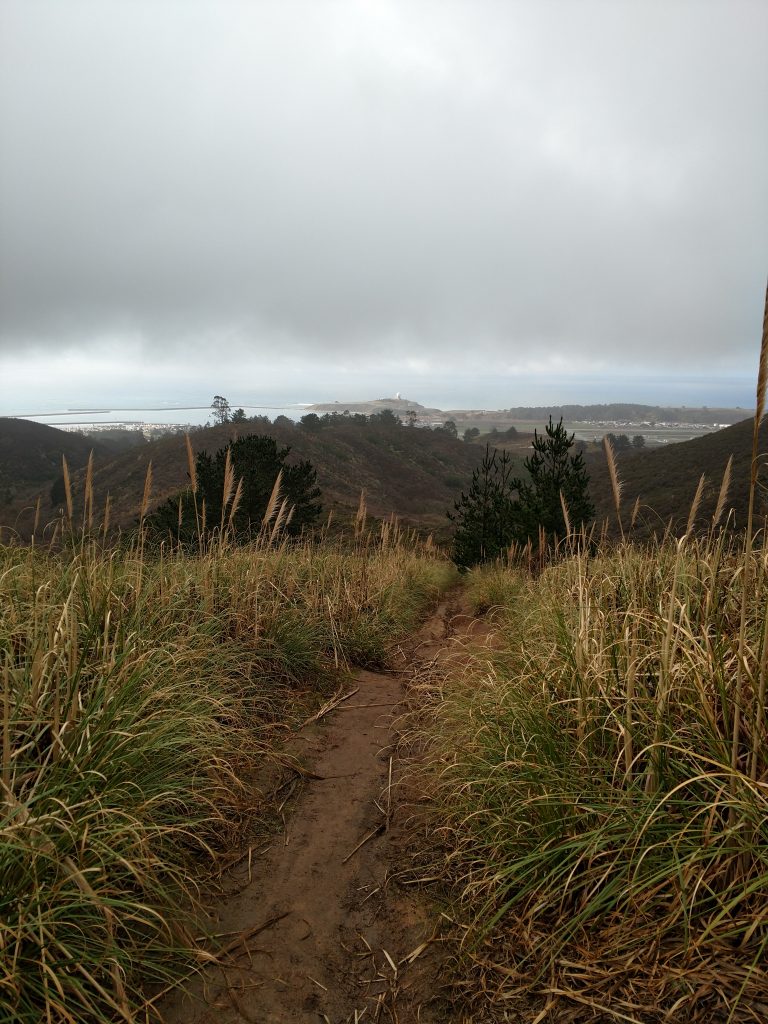
Note that there are hardly any signs, no mileages and no directions while on this hike! I recommend bringing a local map and planning your route extensively before going. This map is helpful from the NPS although it is dated.
The first part of the hike has several options but all the trails eventually intersect with El Granada Boulevard (closed to cars but open to hikers, presumably). I took the Clipper Ridge Trail 2.2 miles from the trailhead to the intersection. The Clipper Ridge trail was muddy and very overgrown- on the way down I took the French Trail which is slightly longer at 2.7 miles but far better maintained.
Whichever route you chose, its about a 1,100' climb which is generally consistent and steep.
Part II: Unnammed Road to Scarper Peak Turnoff
Clipper Ridge Trail ends abruptly at a paved, unnamed road, presumably an access road for the ranches and perhaps radio towers. I saw no evidence of restriction to access on this road.
From the intersection with Clipper Ridge, it is extremely helpful to have a GPS or odometer; dozens of roads and trails deviate from this road that may lead to restricted access areas. I took the road about 1.5 miles to the intersection with another unnamed, overgrown fire trail which leads to the publicly accessible side of Scarper Peak.
Total elevation gain for this section was 350', mercifully less steep than the previous section.
Part III: Scarper Peak Turnoff to Summit
As the trails and roads are extremely unclear in this section, I again recommend plugging in some way points. Here's a google maps link for the turnoff for Scarper Peak. I completely missed this the first time around and didn't realize it until a half mile and several hundred feet of ascending later!
From this turnoff, its another relatively flat 0.8 miles to the next intersection. Take a left at the intersection and follow it for another 0.6 miles to the summit. An FAA station inhabits the actual highpoint.
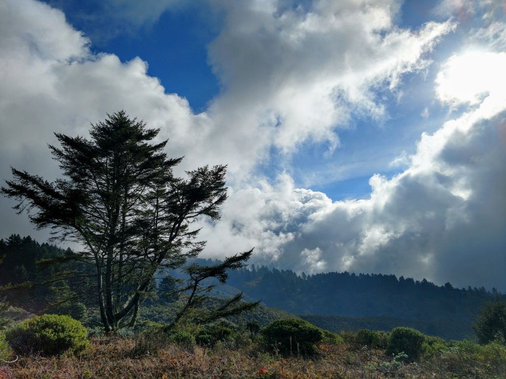
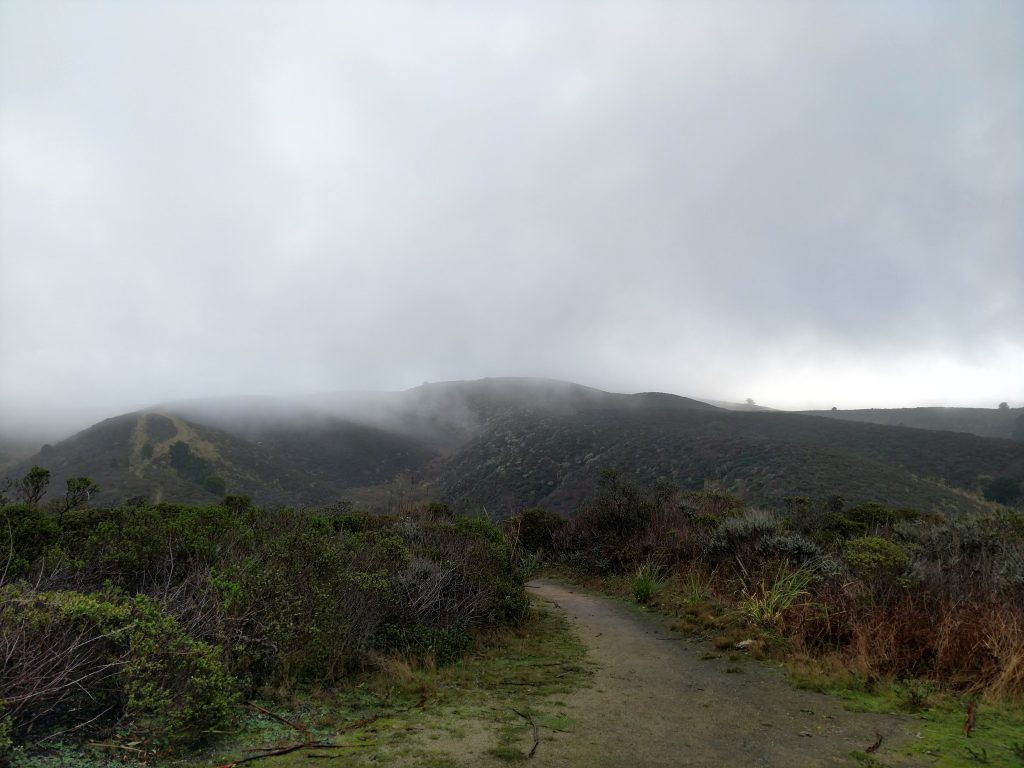
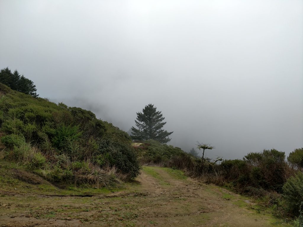
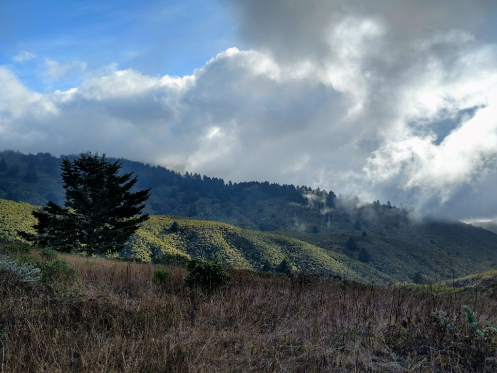
Although there are extensive views on the way up (when not obscured by clouds or fog), there are none at the summit. No sign of a summit register either!
I returned the way I came and completed the hike in about 5 hours- taking into account some doubling back and getting lost. Again, given the notoriously vague access issues related to hiking near Half Moon Bay I recommend checking with local sources regarding current restrictions, if there are any.
So, for all the other compulsive Bay Area Peakbaggers and Climbers, hope this helps!
Just a side note: different maps and people refer to the summit as Scarper Peak, Scarpa Peak and Scarpet Peak. This is apparently a topic of debate among local mapmakers.

No Comments