 |
| View from the summit, looking towards Kentucky |
Miles: 2,420
This was just a brief hike on my trip through Southwestern Virginia but it was worth the trip. High Knob is the highest mountain in the general vicinity of southwestern Virginia and eastern Kentucky. The entire area is known as the "ridge and valley" section of the Appalachians. Driving through the area, the mountains appear less like the classic conical shape and look more like massive waves of rock and earth. The image of an open ocean during a storm comes to mind when thinking about the topography of the area. The only breaks in these "waves" are river gaps which predate the mountains themselves. This is the case of the New River Gorge which points towards its extreme age. Big Stone Gap shares a similar geological heritage, I believe.
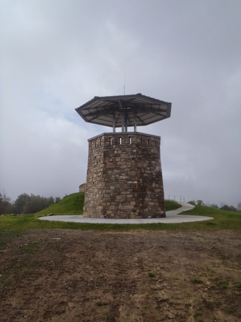
High Knob can be driven or hiked. It is near the center of Norton, VA. The drive is paved and popular. Also, the 33 mile long Chief Benge's Scout Trail ends at the summit which would work as a great backpacking trip. There was a historical fire tower at the summit which provided a great vantage point but it was vandalized in recent years. The new tower has been built and while it provides a similar view, it is considerably less pretty than the original.
 |
| I suppose it would be hard to burn down this structure- something going for it... |
The summit tower itself is accessible by wheelchair which makes it very popular. Better mountain views can be had in other parts of the region, but this provides a good one.
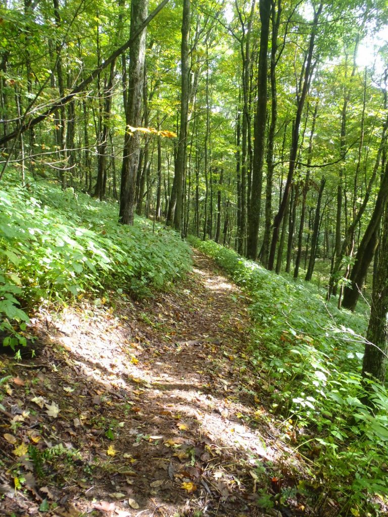
I decided that driving here wasn't enough so I continued down the Boy Scout Trail for a mile or so. This was a nice walk in the woods. I love that the Boy Scouts have such a visible impact on the area! The trail was well maintained and marked and I wished I could do the 33 mile trail. I'll save it for another time.
 |
| Lovely Trail! |
 |
| View from the tower |
Read. Plan. Get Out There!


No Comments