Mt Putnam stands across the Stowe Valley from Mt Mansfield and is part of the Worcester Range of Vermont. It is a great hike which sees much less activity than nearby Mansfield and, in addition to the summit, Mt Hunger and the Stowe Pinnacle are other good views.
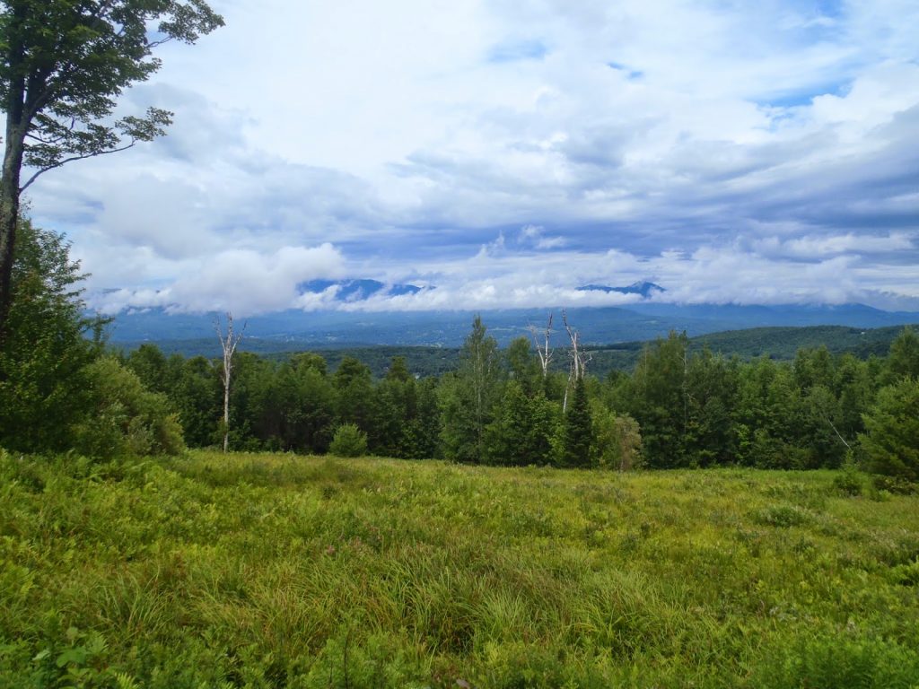 |
| Across the Valley, Mt Mansfield makes a brief appearance on a cloudy day |
Continuing on my Route 100 adventures, I came to the famous town of Stowe, Vermont. Stowe is similar to my home state's South Lake Tahoe as a major ski destination town that has plenty of outdoor adventures to be had during the off season as well.
Mt Mansfield, the state high point, is the obvious draw of thousands of hikers and visitors. However just across the valley is the Worcester Range which isn't nearly as tall but is more pristine and wild than Mansfield. I was excited to hike Mt Putnam and the Stowe Pinnacle for these reasons.
It is interesting that even my updated Vermont Gazetteer map doesn't fully note all the trails available in the Worcester Range. This is unfortunate because the range can be hiked extensively. Here is my map-
The Stowe Pinnacle is the small knob with Mt Putnam being the tallest mountain.
Mount Hunger is another popular hike in the range and can be done in conjunction with Putnam or separately.
A parking lot exists at the end of the unpaved Pinnacle Heights road and the driving route to get there is marked by signs for "Pinnacle Meadows". The last 1,000 yards of the road are steep and bumpy- I actually took one too fast and ruined a tire... oh well. You've been warned.
The trail itself leaves from the parking lot, past a gate and follows a presumably abandoned logging road. In 0.5 miles, it comes to a delightful mountain meadow with expansive views of the Stowe Valley. It is a great hike in itself. Continuing on, the trail goes into the woods and in another 0.62 miles, it comes to the fork for the Stowe Pinnacle Trail. From here, it is a steep 0.5 miles to the bare knob which has even better views than the meadow. Most people will only hike to this spot and not without reason!
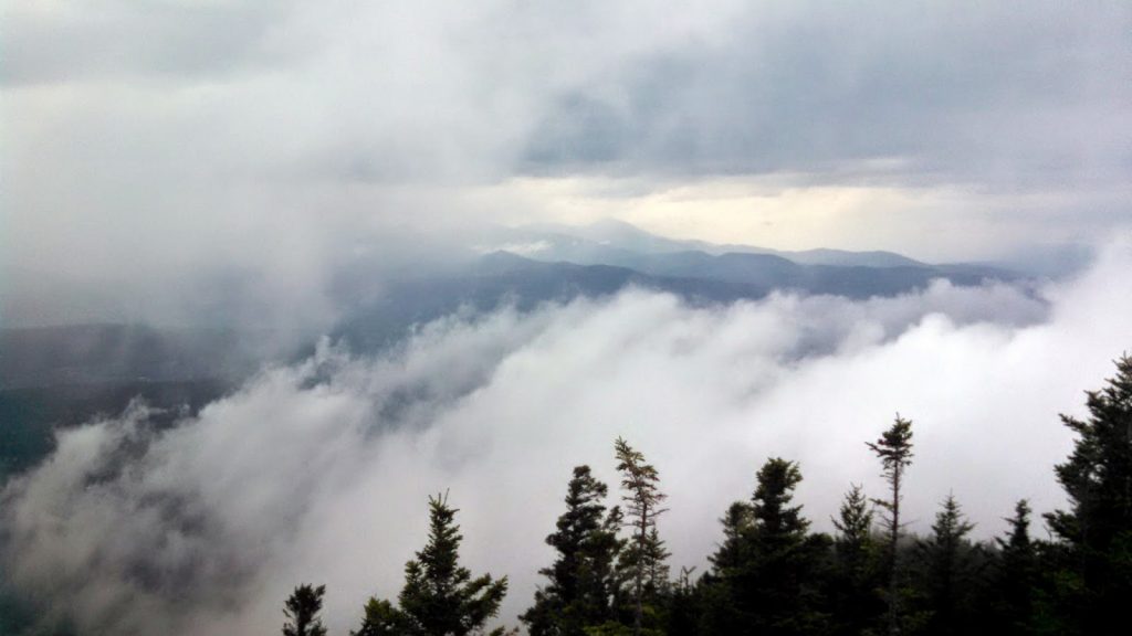 |
| Thunderstorm rolled in while hiking the Stowe Pinnacle |
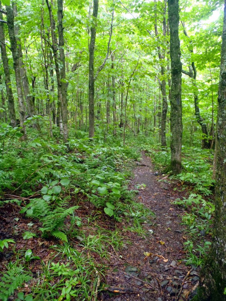 |
| The lush Vermont woods |
After the Stowe Pinnacle, it is about a mile to the Skyline Trail and the trail becomes a bit ambiguous in some sections. It isn't quite like following a herd path, but I did get turned around once or twice. The going was steep.
The Skyline Trail itself actually crosses most of the range and it can be done as a grueling day hike. Unlike the Long Trail, there are no shelters in this range, so it retains its original wilderness. From the intersection of the Pinnacle Trail with the Skyline Trail, it is no less than a quarter of a mile to the actual summit. It is hardy noticeable and is unmarked; I had the benefit of an altimeter to discover the true high point. There was a little bit of a worn down area on the actual summit that is probably due to folks like me who are neurotic about getting to the true and actual high point.
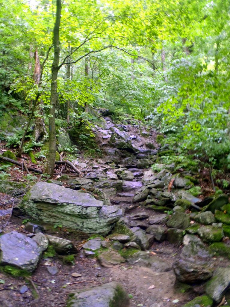 |
| The trail is nicely cut and well established up to the Stowe Pinnacle |
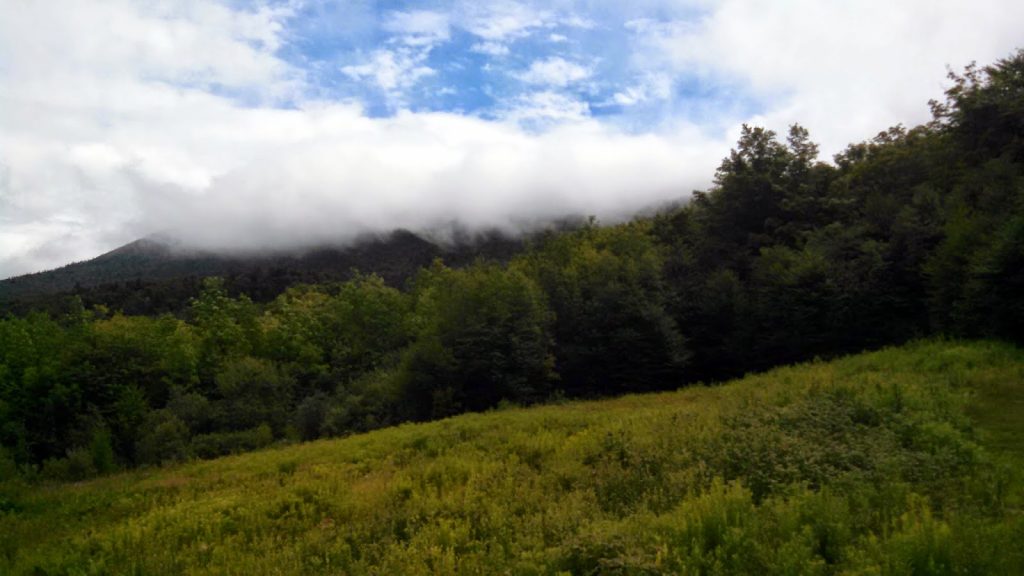 |
| View of the range near the Pinnacle Meadow |
I was able to easily complete the hike before lunch. Not too much goes in to it other than a simple out-and-back of a high point which includes the best view on Stowe Pinnacle. It is a good adventure if you're staying in the Stowe area and are looking for something less crowded and traveled than the Mt Mansfield area.
Read. Plan. Get Out There!


No Comments