As it turns out, the final hikes I accomplished on this recent bonanza were the two difficult summits of White Cap and North Kennebago Divide. Both peaks are reached though a combination of old logging roads, light to moderate 'whacking and herd paths. I was able to do them in 1/2 a day and combine them with East Kennebago Mountain.
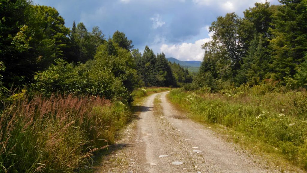 |
| The logging road leads to North Kennebago Divide and White Cap |
The "Rangeley 6 Pack" is a famous group of remote mountains which inhabit the bottom of the New England 100 Highest List and often are the last summits people climb in their quest. Frequently you see the summit canisters signed with a terse "#100!!!!" which is a testament to their ruggedness and difficulty. Again, in the grand scheme of bushwhacking, these summits are not really difficult but to those who are used to well traveled and well signed trails, it is a bit daunting. Additionally, you have to be very familiar with the Maine Gazetteer and driving on logging roads to finish these summits. Some people set off to climb the NEHH and find no difficultly in bagging the likes of Baldpate and Nancy but simply never work up the desire to drive 10-20 miles on decrepit logging roads and spend most of a day fighting through spruce for a summit without views. Its a strange game.
Here's an area map-
Getting to the "trailhead" is a hell of a trip. The logging roads are in pretty good shape because they are active. However there are multitudes of logging trucks which travel these roads and you better be sure to pull off well to the side of the road if you see one coming. As it turns out, I busted a flat the furthest I could be from anywhere- things like this happen well out there.
Regardless, I parked pretty far away from the end of the logging road you see above which significantly increased my mileage. I think I could have driven further, but I was glad I didn't. From the clearing at the end of the logging road, I stayed generally to the right and found a very well trodden herd path almost all the way to the saddle between NKD and White Cap. Note that there are several smaller herd paths along the way that can confuse things.
The easiest part was getting to the Saddle. White Cap wasn't too difficult whereas NKD was essentially a bushwhack. I started with White Cap- you can see on the map in satellite view how there's a very well-demarcated route that comes within about 200' of the summit of White Cap. This is an excellent trail and easy to find. The trail comes to the height of the land and then there are a few cairns to mark the herd path to White Cap. Overall, it is a very easy bag (considering it is in the famous Rangeley 6-pack).
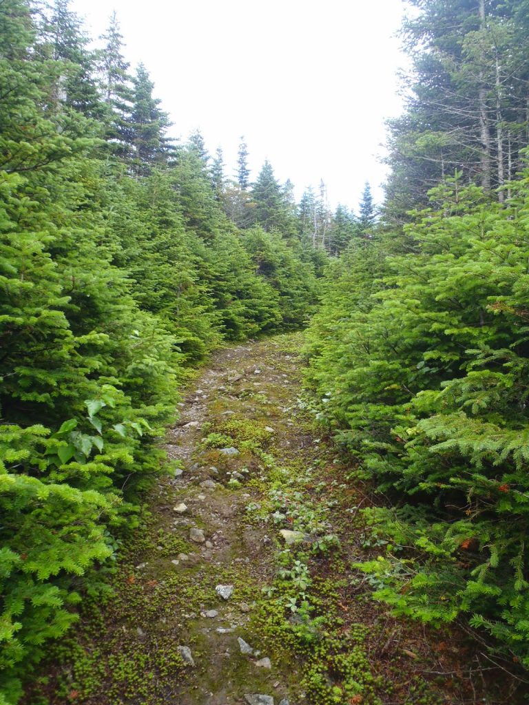 |
| Bushwhack? No, not really |
 |
| Great herd path, almost as good as any trail |
 |
| Small cairn in the middle of the trail marking the herd path to White Cap |
There's nothing much to see on White Cap. I perhaps saw a fleeting view of Boundary Peak, but it was difficult to say. I quickly came down from it and to the saddle between NKD and White Cap.
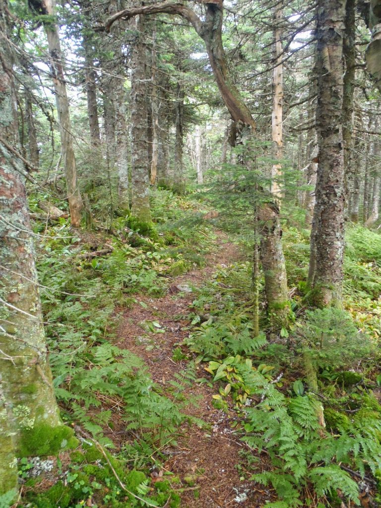
North Kennebago Divide was a bit of a different story. While I wouldn't classify it as a particularly hazardous bushwhack, it wasn't exactly the well marked herd path that White Cap was. I wished I had hiked this one first and then followed that nice trail all the way down from the earlier summit. Oh well. From the saddle between the two, I essentially followed a combination of herd paths and my own path all the way to the summit. It took about as long to get to NKD from the saddle as it did to get from White Cap from the bottom.
 |
| My signature on the register |
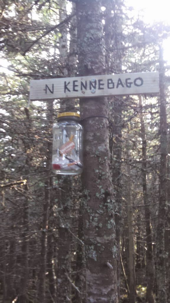 |
| NKD summit canister |
So yes, it was a pretty mid-range bushwhack without a lot to say other than that there weren't many views and most of it was though logging land. It wasn't exactly something I'd want to do again, but maybe a winter ascent would be different.
That's #95 of 100!
Read. Plan. Get Out There!


No Comments