The Maine Mountain Guide notes that the summit of White Cap Mountain is "arguably one of the finest in the state". After hiking dozens of mountains in the state and even more across New England, I would confer!
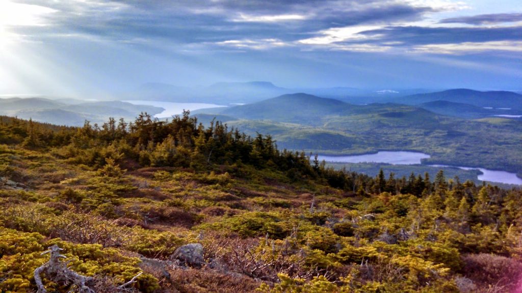 |
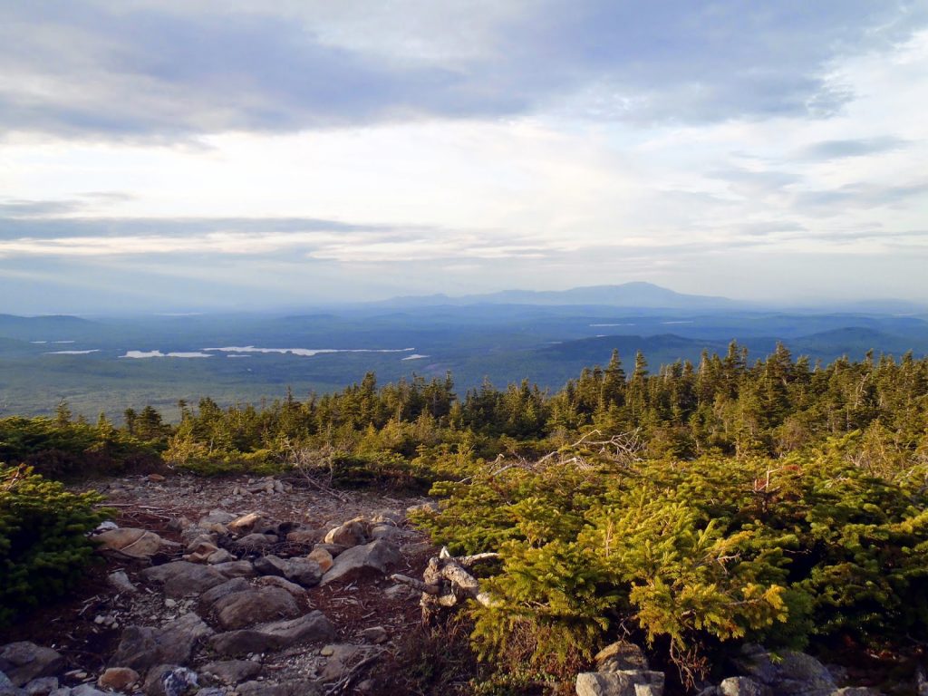
| Most of the Appalachian Trail in Maine can be seen from the summit |
Another great stop on my tour of the
Maine North Woods was the gorgeous summit of White Cap Mountain which serves as the highest point on the
Appalachian Trail's 100-Mile Wilderness. Its named the 100 mile wilderness because there are no services nor paved roads through this section, however it is easy for somebody to get into the woods for a day trip or overnight if they so wanted. For me, I was out to bag White Cap Mountain which can be hiked in a half to 3/4ths of a day, depending on which trail you use.
Here is a hiking map-
White Cap can also be hiked from the South by way of the
White Brook Trail. This is somewhat more difficult to get to and I'd recommend 4x4 for the trailhead. However it is a less traveled section of White Cap and certainly worth the hike.
The Maine Mountain Guide provides excellent directions from the center of town of Greenville. You can use the map above for directions as well. I noted two parking areas- the first was an area I used because there was a report that the road was flooded. The second is the usual parking area and is right at the gate which blocks off further travel. Either way, most of it is passable without having a high clearance vehicle, but drive at your own risk.
 |
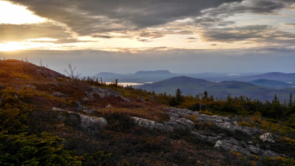
| Glorious views of Katahdin and BSP at the summit |
From the big yellow gate, its a 0.5 mile stroll through the woods on the old logging road with very little elevation gain. The turnoff for the Appalachian Trail isn't exactly marked with a billboard but you'll see it if you're looking for it. I did pass a moose both on the hike up and hike down in this area.
From here, the Appalachian Trail climbs steadily up the mountain, gaining almost 500 feet immediately before going through a relatively flat section which parallels a brook. At 1.4 miles past the junction with the logging road, the trail comes to the Logan Brook Lean-To which is a great place for an overnight. If you're day hiking, this is the part where the trail gets steep. It is just under 1 mile to the summit from here.
I was surprised how well maintained the trail is through here. The steepness was certainly challenging, but stairs had been cut for a significant portion of the trail. The steps made the hike up less difficult. In no time at all, I was standing on the summit, with the camera rolling-
 |
| Looking south along the Appalachian Trail |
 |
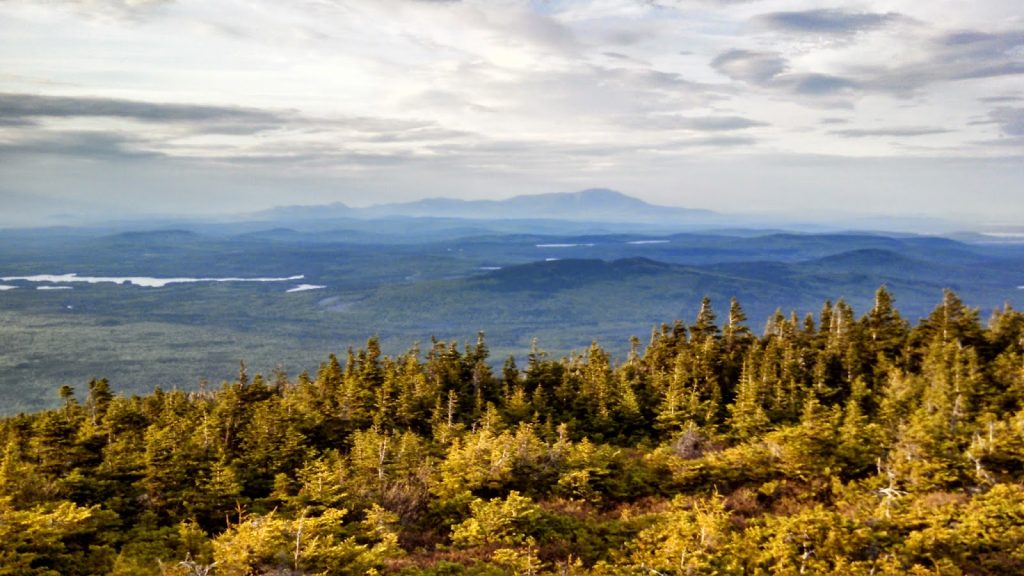
| Another view of Katahdin |
 |
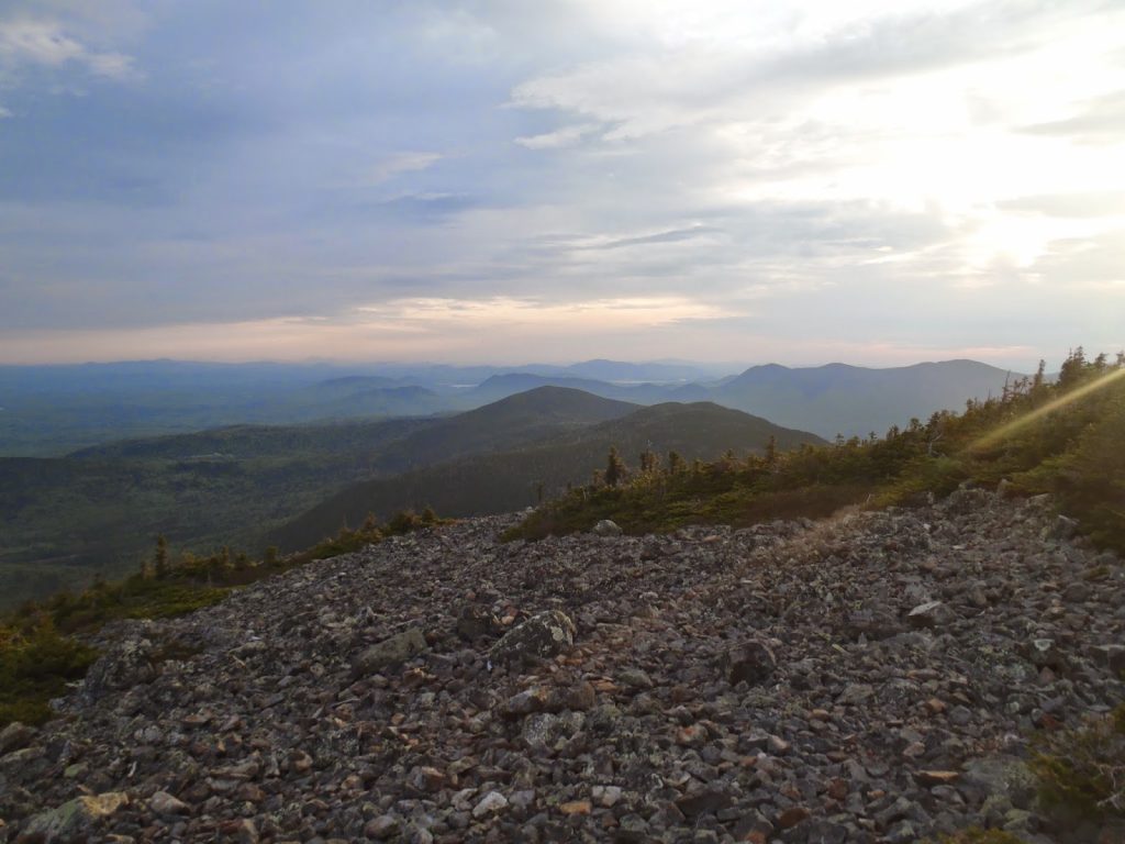
| Changing colors as the sun sets |
 |
| Little Spencer to the Left with Big Spencer on the Right |
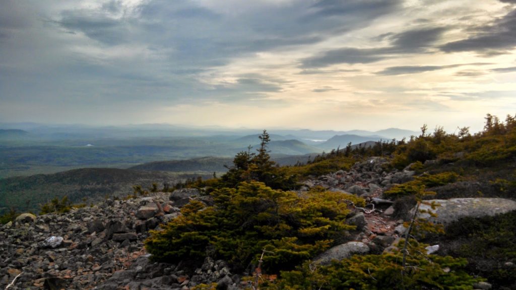 |
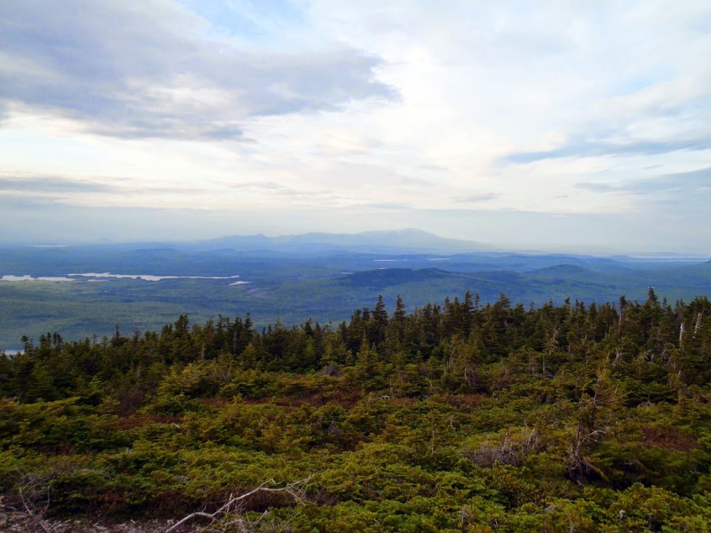
| More views from the top |
Is "arguably the best view in the state" an exaggeration? Katahdin is great, but I'd prefer White Cap. It is perhaps one of the only parts of the trail where you can see nearly 200 miles of it on one mountain- Old Speck was faint but visible with the horns of Bigelow very clear.
I could have spent hours up there, but I had other destinations which included some bushwhacks to some off-the-grid peaks. Hopefully I'll return to White Cap soon.
Read. Plan. Get Out There!


3 Comments
Sarah Dooley
August 22, 2014 @ 00:59
Hey there! Great blog! Do u have directions to the trailhead?
Deepweb
June 26, 2020 @ 03:34
“I’m really loving the theme/design of your website. Do you ever run into any internet browser compatibility issues?
A handful of my blog visitors have complained about my website not working correctly in Explorer but looks great in Chrome.”