Mt Isolation is another very difficult hike in the White Mountains that is often only done to complete the famed Appalachian Mountain Club White Mountain 4,000-Footers List. On the particular day I did it, there happened to be a Nor-Easter... just to make sure the misery was complete.
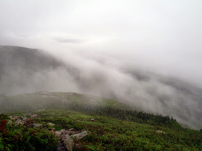 |
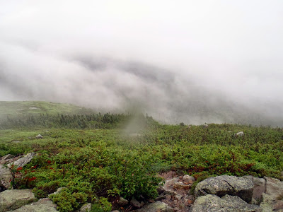
| Clouds over the Glen Boulder Trail on my way up Mt Isolation |
Mt Isolation.... sounds like a great hike huh? Another day, another 4,000-footer under my boots. Of course, there are no easy 4,000-footers. There are only hard ones and harder ones. Isolation falls into the latter category. The one day I had to hike Mt Isolation also happened to be the day a furious Nor-Easter rolled through as if to make the day more difficult.
For the record, although the hike of Mt Isolation is long from any direction, many will say that this is one of the better hikes in the White Mountains. I can see their point too- it is a great summit in a great wilderness and unlike the clogged trails of Mt Washington and Moosilauke, you may not see a soul for the whole day. On a clear day, there are even some great views! This wasn't the day...
So you want to hike Isolation eh? Well pick your poison. There's the
14.5 mile Rocky Branch trail which plows through the wilderness, ascending to 3,100ft before dropping back down to 2,800ft with an notoriously dangerous river crossing before ascending back up to 4,003ft. That route is somewhat less direct but involves less elevation and is one of the most frequently used trail up Isolation. The second option is what I did- ascending up to 5,200ft on the Glen Boulder Trail before dropping to 3,800ft and up to the summit once again. Total distance is about 12 miles but, as you can see, its a series of grueling ascents and descents. There's also the 17.2 mile (roundtrip) ascent through the valley of the dry river which has been reportedly wrecked by Hurricane Irene.
I should mention that the Glen Boulder approach up Mt Isolation does have some stupendous views on clear, sunny days and even with the storm I did catch some-
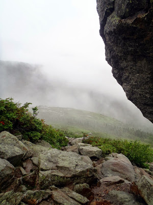 |
| View from the Glen Boulder |
Starting at the Glen Ellis Falls Picnic Area, the trail immediately ascends 1.6 miles up to the Glen Boulder. This is somewhat of a famous sight with a massive, precariously perched boulder with sweeping views of Crawford Notch and the Wildcat Mountains. Its a great hike in its own right. The trail enters somewhat of an alpine zone at this point where it zig-zags around bare granite and stunted pines. I found this to be enjoyable; the alpine zones of the Whites are a rare and beautiful environment. Even the rain, wind and fog couldn't conceal it.
Wrapping around the Gulf of Slides, the trail continues another 1.6 miles to eventually top out at a point 400 vertical feet below Boott Spur. Perhaps on a better day I would have liked to have climbed up to the spur and enjoyed the view of Tuckerman Ravine. However this was very exposed and I feared thunderstorms so I quickly turned down the Davis Path and made way towards Isolation.
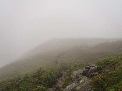 |
| Classic alpine zone trails in the White Mountains |
The trail stays above treeline for a while then dips below as you lose more and more elevation. In 1.6 miles you come to the junction of the "Isolation Trail" which can be confusing because this does not ascend to the summit! If you're coming south on the Davis Trail as I did, bear LEFT! Bearing right will drop you down into the Valley of the Dry River and you'll be far from the summit. I imagine that even if you did make this mistake, you would realize your error because this trail is maintained and probably destroyed from Hurricane Irene and Sandy. The trail continues 0.3 miles to the junction of the east branch of the Isolation Trail. Stay RIGHT this time and in another 1.0 mile, you're at the summit of Isolation!
The summit is mercifully clear and has views. Too bad for me, the fog was too thick to see anything except a few stunted pine trees. Oh well... here are some more views from the way back down (AND UP!).
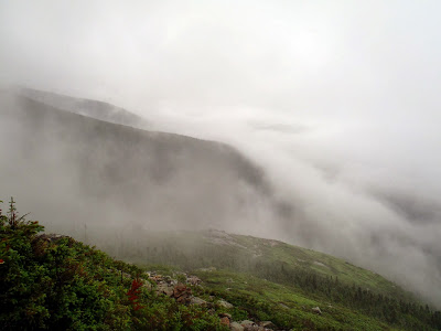 |
| Even in a Nor-easter the White Mountains are gorgeous |
 |
| Looking Down into Pinkham Notch |
 |
| The seemingly impossible Glen Boulder. I wouldn't want to camp on the downhill side of that rock! |
Well goodness, I only have a few peaks left on the pursuit of all the 4,000-footers! I've done all of them in Maine and Vermont and just have a handful of the White Mountains left!
Read. Plan. Get Out There!


No Comments