 |
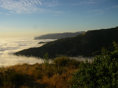
| Perhaps the country's only backpacking trail with GUARANTEED good weather! |
 1. The East End: Begining at the rather touristy Pepply Beach, the trail immediately begins ascending the eastern mountains of the island as you follow the jeep trail. Fortunantely your ascending is rewarded with stunning views of Avalon and the East End. A side trail will take you to the 1,536ft East Peak, the highest on this part of the island. This part has wonderful views, but is very exposed. Eventually you will loop back around to the road out of Avalon.
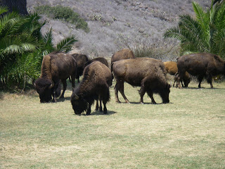
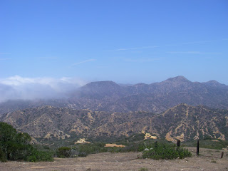 2. Central Highlands: This part of the trail will take you through the interior and highest part of the south portion of the island. This is a shrubbier and more dense section with pleanty of elevation gain! Although you don't see the ocean as much, you will crest at Blackjack Camp. This is an excellent place to stay for the night and it has water! It is possible to trek partially up the 2,000ft Mt Blackjack. You also have a high possiblity of seeing bison in this section!
3. Airport in the Sky and Little Harbor: This part of the trail is perhaps the highlight of the Eastern Portion. Airport in the Sky is only a mile and a half past Blackjack where you can order a legitimate Buffalo Burger! From here, you have a long decent into Little Harbor with a view of the seldom visted ocean side of the island. It is picturesque and a slice of paradise. After several days in the interior, you'll be happy to bask in the shade of the palm trees and take a swim!
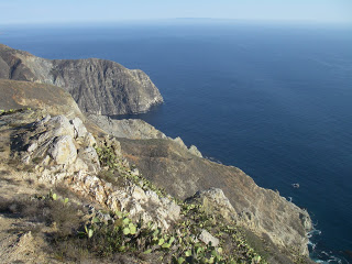
5. The West End: We have a saying for this part of the island- "The West End's The Best End!" Its true, this is by far the most scenic and empty part of the island. Hardly any tourists, only tall cliffs and 50 mile views in every direction. Parson's Beach and finally Starlight Beach are true wilderness solitude. If you chose to section hike the Trans Catalina Trail, this is the one section you shouldn't miss!
I hope this has given you the gist of what's offered on the Trans Catalina Trail. Each section has a different flavor and hiking the whole trail will give you a wonderful understanding of Catalina's unique environment. From end to end, the trail is 37 miles but the western terminous is still far (11 miles) from any exit point. So in reality, if you would like to hike the whole thing, its a trip closer to 50 miles.
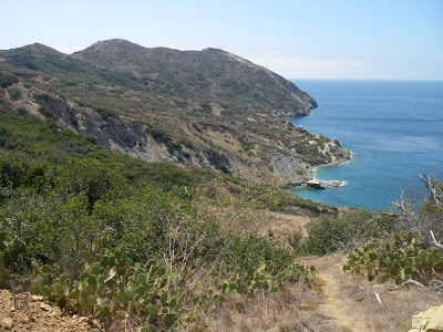 |
| The seldom visited Starlight Beach, Catalina Island |
Backpacking the Trans-Catalina Trail: Part 2
Read. Plan. Get Out There!



2 Comments
Catalina Backcountry
September 5, 2011 @ 17:34
Great Post! Great descriptions of the TCT segments.
Joe
September 5, 2011 @ 22:02
Thank you! For a 37 mile trail, it really does offer a huge change in scenery with every mile traveled