I don't know a lot about Alabama but I've known for a while that the Little River Canyon is essentially the Grand Canyon of the South. Cutting through the expansive Lookout Mountain, the Little River has all the falls and gorges of a canyon usually seen out west. It should not be missed when visiting the state.
 |
| The Grand Canyon of the South |
Day: 25
Alabama is a particularly underrated adventure state. People tend to think it is flat and uninteresting and appeals more towards college football fans more than anything. Alabama is actually where the Appalachian Mountains first rise from the Atlantic Piedmont. The Cumberland Plateau also starts in northeastern Alabama. The Gulf Coast is, of course, a great place to be but this is more well known. It is likely that I'll probably do a coastal tour one of these days so I decided to stick in the mountains. My first stop after crossing the Georgia line was
Little River Canyon.
The Little River Canyon National Recreation Area essentially serves as Alabama's National Park and is akin to Yosemite or Yellowstone as being the defining beautiful natural feature of a state. The Little River begins on Lookout Mountain whose summit is actually in Georgia. It flows across this relatively high plateau before cutting a massive gorge through the mountain and flowing onwards. This gorge does not compare in depth to say, Snake River Canyon of Kings Canyon but given the relative altitude of surrounding areas, I'd have to call this the Grand Canyon of the South.
 |
| The Little River Canyon is definitely grand! |
Being managed by the National Park Service means that the area is immaculately well maintained. Activities are also numerous and I wonder why this is not a fully fledged National Park. Like many other canyons, there is a great rim drive which deserves driving even by hardcore adventurers. Overlooks occur every few miles and all serve as great lunch spots or places for milling about and enjoying scenery. For me, there were some good hikes and vistas but I would much prefer
rock climbing or
river running in the future. The lack of guidebooks and well established routes would beacon the avid climber looking for a good project...
Most people prefer starting from the north where the
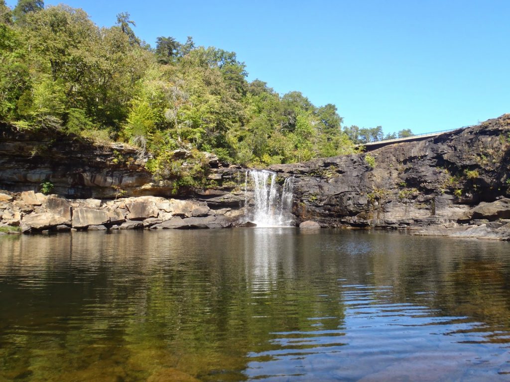
visitors center is and making their way south. Little River Falls is the tallest and most photographed point in the park, for good reason. The overlook is very accessible from the highway and there are also numerous hiking trails and spur trails to get you down into the canyon. It was fun to scramble down to the river and get some pictures. I wouldn't do this during seasons of high water or rain...
 |
| Down in the bottom of the canyon |
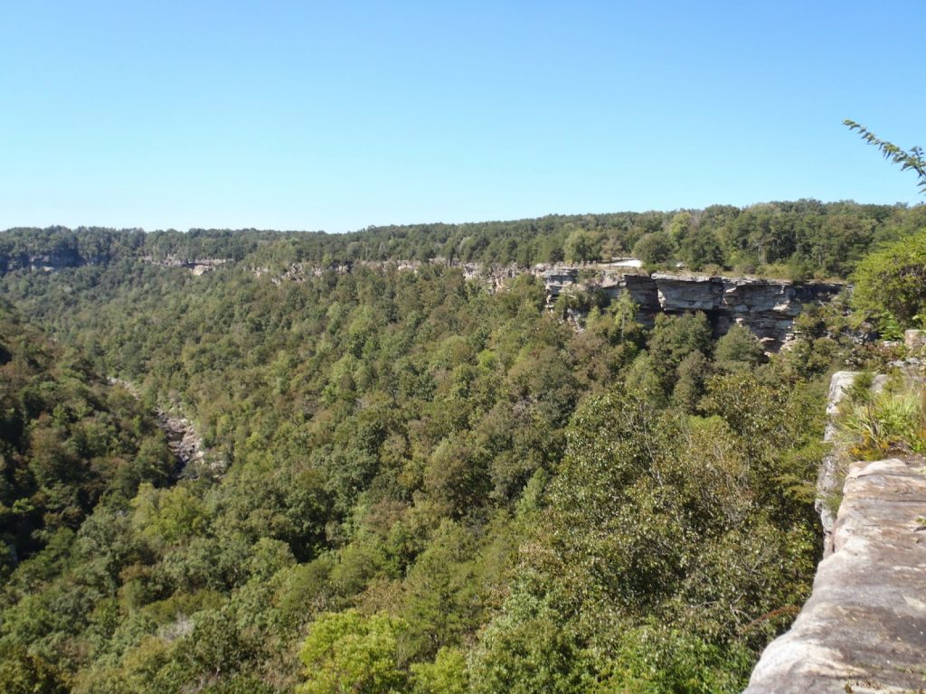
As you work your way down State Route 176, the overlooks tend to get better and better. The canyon deepens and takes some dog legs and sharp curves as if only to make for better photographs. Hiking trails are occasional but there are about 3 points where you can hike down to the river. My favorite of the hikes was the
Eberhart Point Trail which is 1.5 miles, round trip. It is obviously steep but it leads to a
perfect swimming hole which I indulged in on this hot September day.
Grace High Falls is the best waterfall in the park but it was not running today...
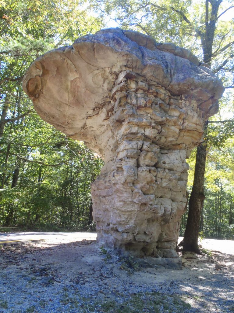 |
| The area is littered with strange and wonderful sights |
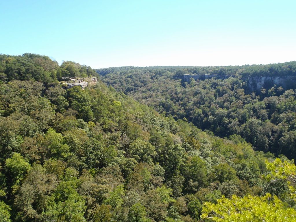 |
| Overlooks everywhere! |
 |
| It is about 800 feet deep in some sections |
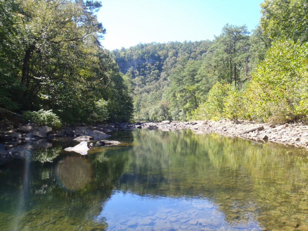 |
| Swimming hole! |
After spending about an hour at the bottom, swimming and chilling, I had to hike out and be on my way. The Little River National Recreation Area is an excellent place for day tripping and nearby many other sights in the Alabama highlands. My next destinations would be Mt Cheaha and Oak Mountain State Parks. I'm glad I was able to explore this underappreciated area.
Read. Plan. Get Out There!


No Comments