The Caribou-Speckled Mountain Wilderness of the Maine White Mountains hides several shorter summits which have remained relatively untouched from any logging or development save for a few hiking trails. Located near Evans Notch on Rt 113, Maine.
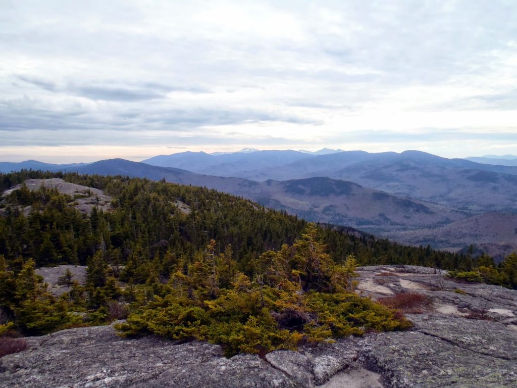 |
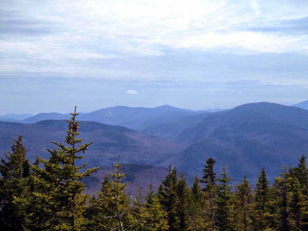
| Caribou Mountain Summit looking towards the Carter Range and the Presidentials |
After hiking
West and East Royce Mountain, I wanted to get the most out of my trip out to Evans Notch area so I crossed the height-of-the-land and made my way down the Androscoggin side. I had no idea that this road was so well paved and maintained, especially because its a bumpy ride up until the Maine border!
Caribou Mountain interested me in particular because it is the namesake of the
Caribou-Speckled Mountain Wilderness which is part of the Maine slice of the White Mountain National Forest. Speckled Mountain is another excellent hike in the area with similar views. Here's my map of the loop hike-
The parking lot for Caribou Mountain is just over 3 miles from the height of the land and is located at 963' of elevation. The parking lot holds about a dozen cars and I don't think it ever really fills up except on massively busy summer holidays. The hike is almost always done as a loop hike of both the Caribou Trail and the Mud Brook Trail. I'm under the impression that most people hike in a clockwise fashion, I just happened to do the opposite. Trail sign distances differ from both the White Mountain Map distances and the Maine Mountain Guide distances but as far as I could tell, it was about 3.0 miles to go up the summit using the Mud Brook Trail and 4.0 miles to go up using the Caribou Trail
The Mud Brook trail heads south, paralleling Rt 113 briefly before turning east and following Mud Brook. I was expecting a name like "Mud Brook" to be pretty damn muddy this time of year but the trail was actually clear. As it parallels the brook, the trail is well marked and only moderately steep. At about 1.4 miles into the hike, the trail crosses into the actual Wilderness Boundary, marked by the instantly recognizable Wilderness area polygon-
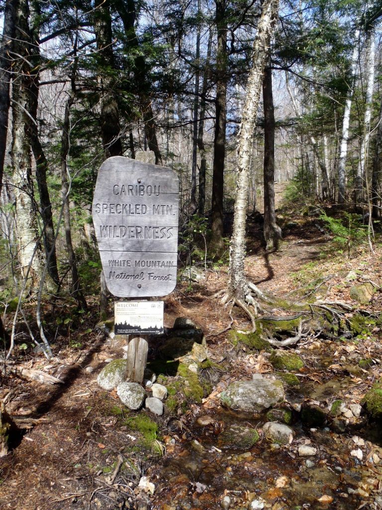 |
| You are now entering wilderness! |
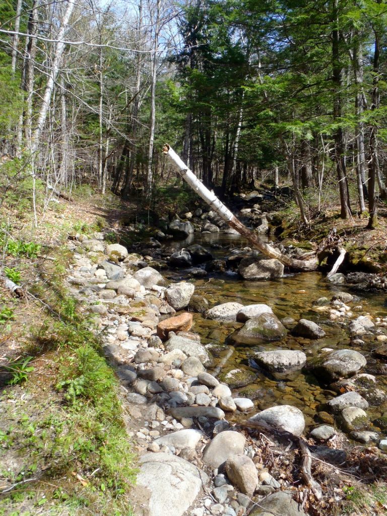 |
| The Mud Brook Trail was not muddy at all, even in the early spring |
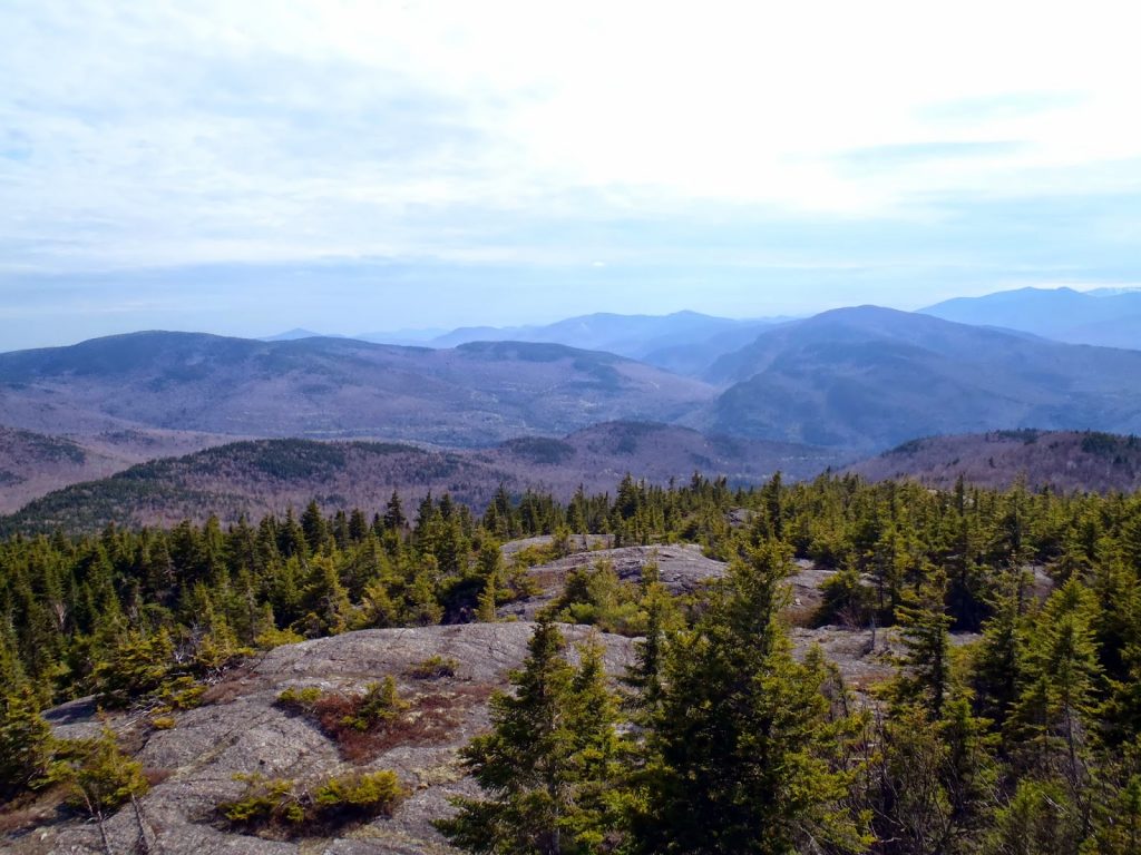
After getting into the wilderness, the trail ascends more steeply but there are some great ledges with views of the entire range and wilderness area. The trail becomes slightly more ambiguous towards the top, especially once you get into the alpine zone. Its funny to think that a summit that scarcely breaks the 2,800' mark would have such an extensive alpine area. There were plenty of bare ledges with views in all directions. It was reminiscent of a 4,000 footer. In fact, I can think of a dozen 4,000 footers with less desirable views-
The summit area itself was almost indistinguishable from the other bare granite knobs but it was a great place to have dinner-
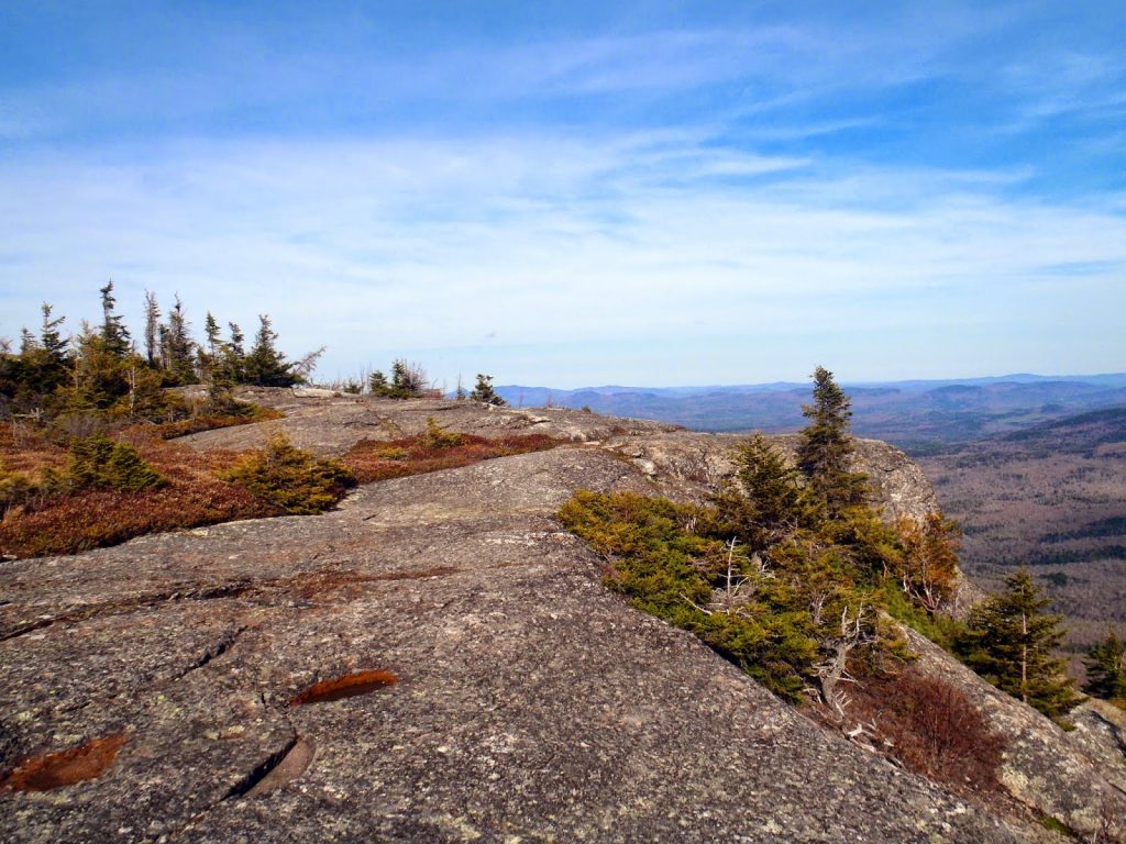 |
| Caribou Mountain had a pretty extensive alpine area for a 2,840' summit |
 |
| Looking towards Evans Notch in the late afternoon |
 |
| The high summits of the Whites off in the distance |
I could have stayed on the summit all afternoon but I had to come down. The trail dips back below tree line and reaches the fork of the Caribou Trail. This trail takes you down the mountain's northern side and parallels numerous unnamed waterfalls and cascades, some as high as 50 feet. Had this hike been in the Crawford Notch or Franconia Notch area, it would surely be overrun but I had them all to myself in this infrequently hiked part of the Whites. I hiked slowly- there were waterfalls ever tenth of a mile it seemed.
Eventually the trail flattens out and returns to the Caribou Parking Lot. Although there was almost 2,000' of elevation gain, it really wasn't quite as difficult as one would expect. Evans Notch has pleasantly surprised me with numerous hiking opportunities that involve low summits with expansive views. The
Baldfaces, Royces, Speckled Mountain and now Caribou Mountain were all in my list of favorite hikes in New England. Evans Notch is an excellent alternative to all the 4kers which can be a traffic jam in the summer.
Read. Plan. Get Out There!


No Comments