


My climb of Virgin Peak is a long overdue post from my winter travels but it certainly deserves posting. This is a remote summit which dominates the skyline as you travel on I-15 between Las Vegas and St George. In my innumerable trips to Las Vegas and Southern Utah this summit has always intrigued me. Lofty and lonely, Virgin Peak is one of the topographically isolated and prominent summits in the state of Nevada. This year's heavy precipitation limited my access to higher summits in the winter. Hence I finally climbed this one in January 2023.
Virgin Peak Overview and Access
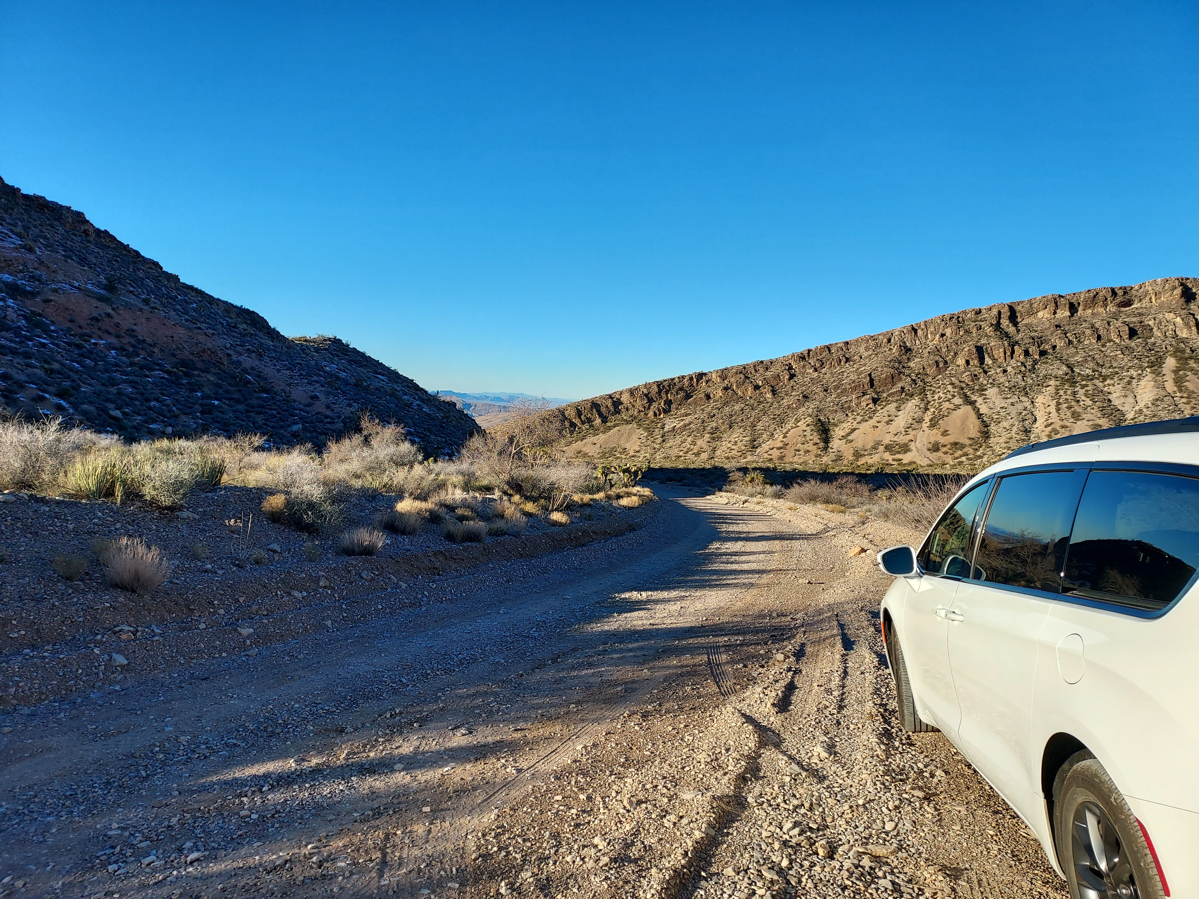
Virgin Peak lies in Gold Butte National Monument sandwiched between Lake Mead and the Arizona state line. Though not far from Las Vegas, the area is considered very remote. I was previously here about 4 years ago hiking Little Finland aka Hobgoblin Playground. There's one main access road - Gold Butte Road. It's a rough though sort of paved road stretching 20 miles from the town of Riverside to Whitney Pocket. Though an unpleasant drive in a low clearance vehicle, it is not difficult. I made it in a rental minivan to Whitney Pocket without incident. At Whitney Pocket, there's ample camping.
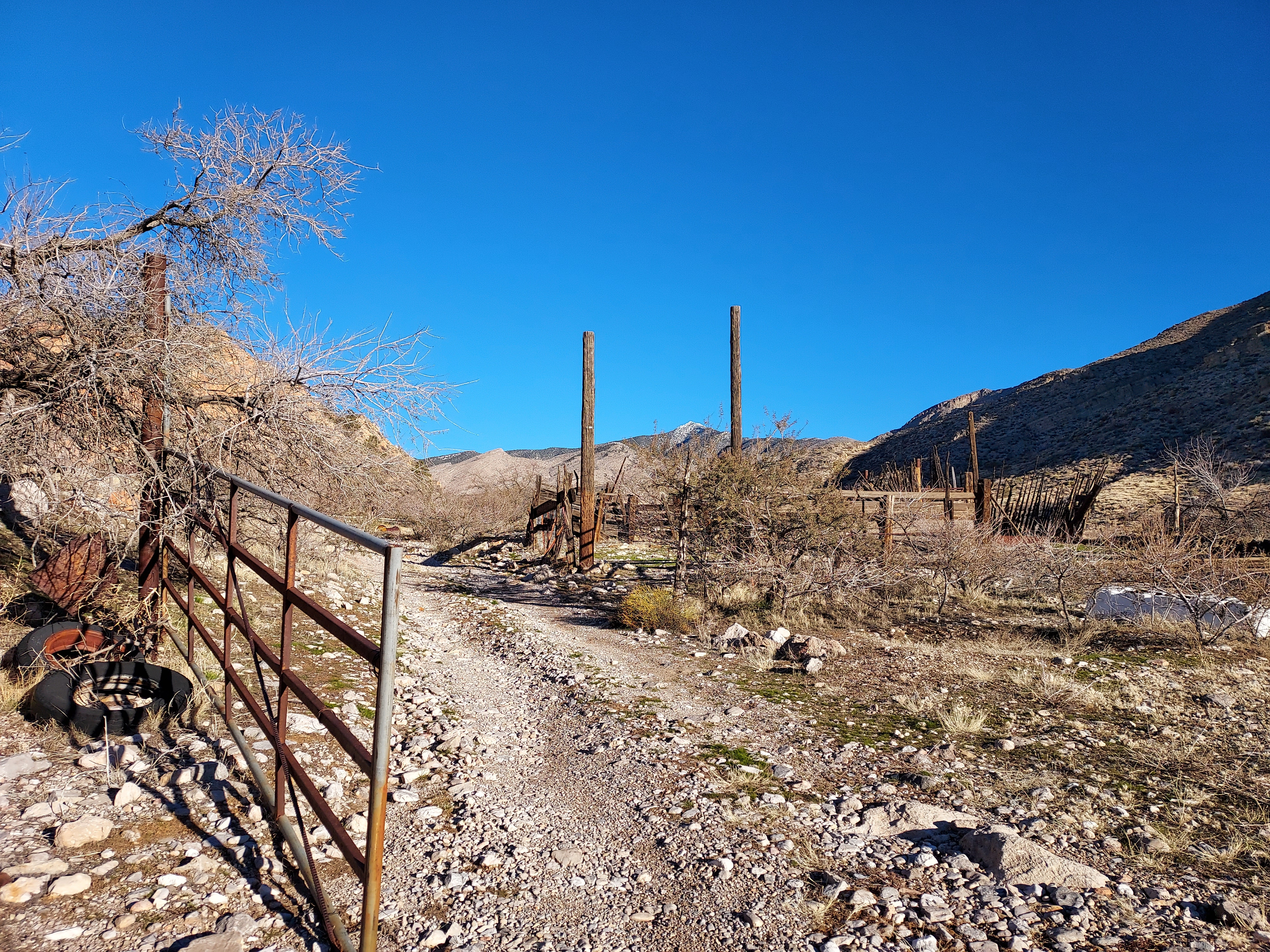
To get to the "trailhead" for Virgin Peak, head east from Whitney Pocket on Whitney Pass Road for another 2.4 miles to a turnoff for the unmarked Black Rock Mountain Road. I was able to park the minivan off to the side of the road here. Basically anyone with the right tires and clearance could make it another 0.8 miles to "the corral" but I decided to park off of the main road.
Virgin Peak lies entirely on public land with unrestricted access. There's no fee to park, camp, hike or backpack in the area. Its all managed by the BLM. The peak also makes several noteworth peakbagging lists including:
- Highest Point of Gold Butte National Monument
- #8 most topographically isolated summit in Nevada
- #30 Sierra Club Desert Peaks Section
- #56 most topographically prominent summits in Nevada
- #67 Nevada Peaks Club List
Virgin Peak Scramble/Hike
My route was slightly longer than most given that I started basically from Whitney Pass Road. Total distance was 13.5 miles with 4,700' of approximate gain. It took about 9.5 hours. Solitude was guaranteed.
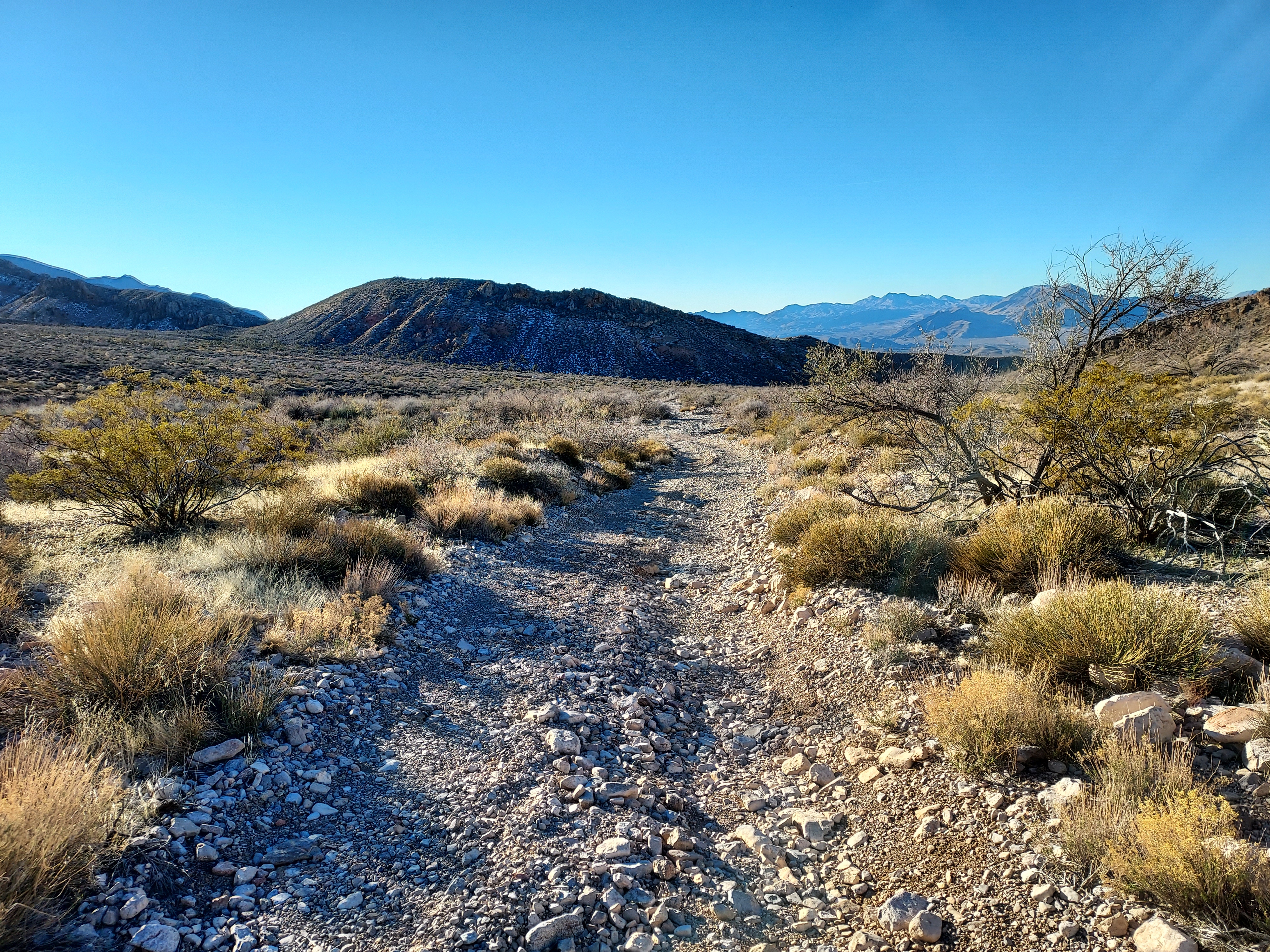
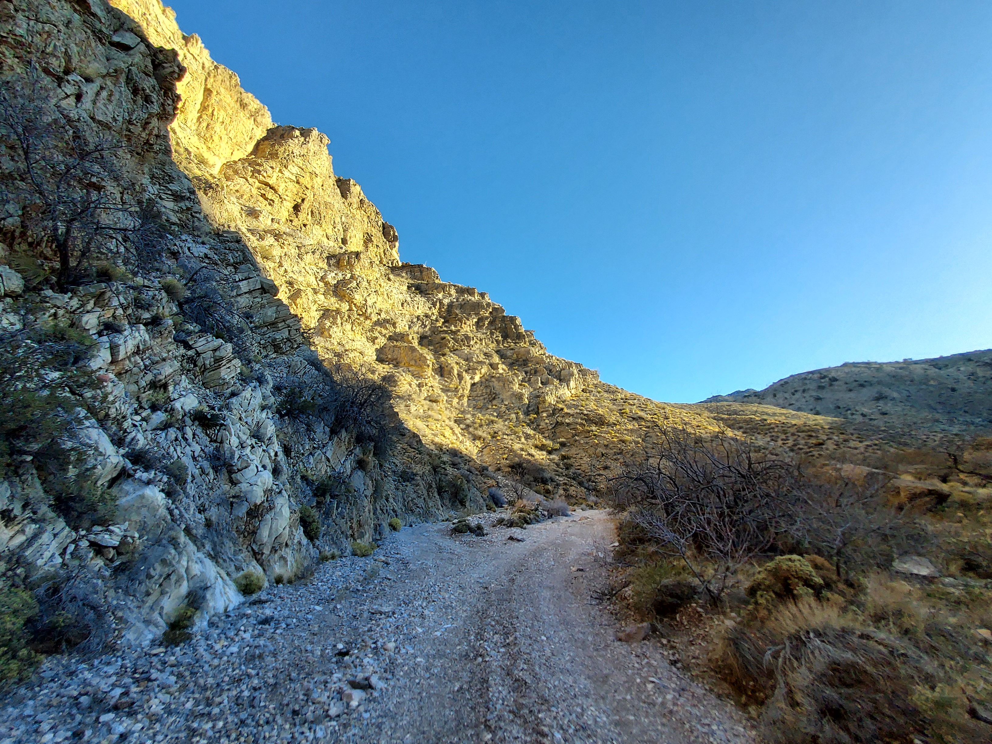
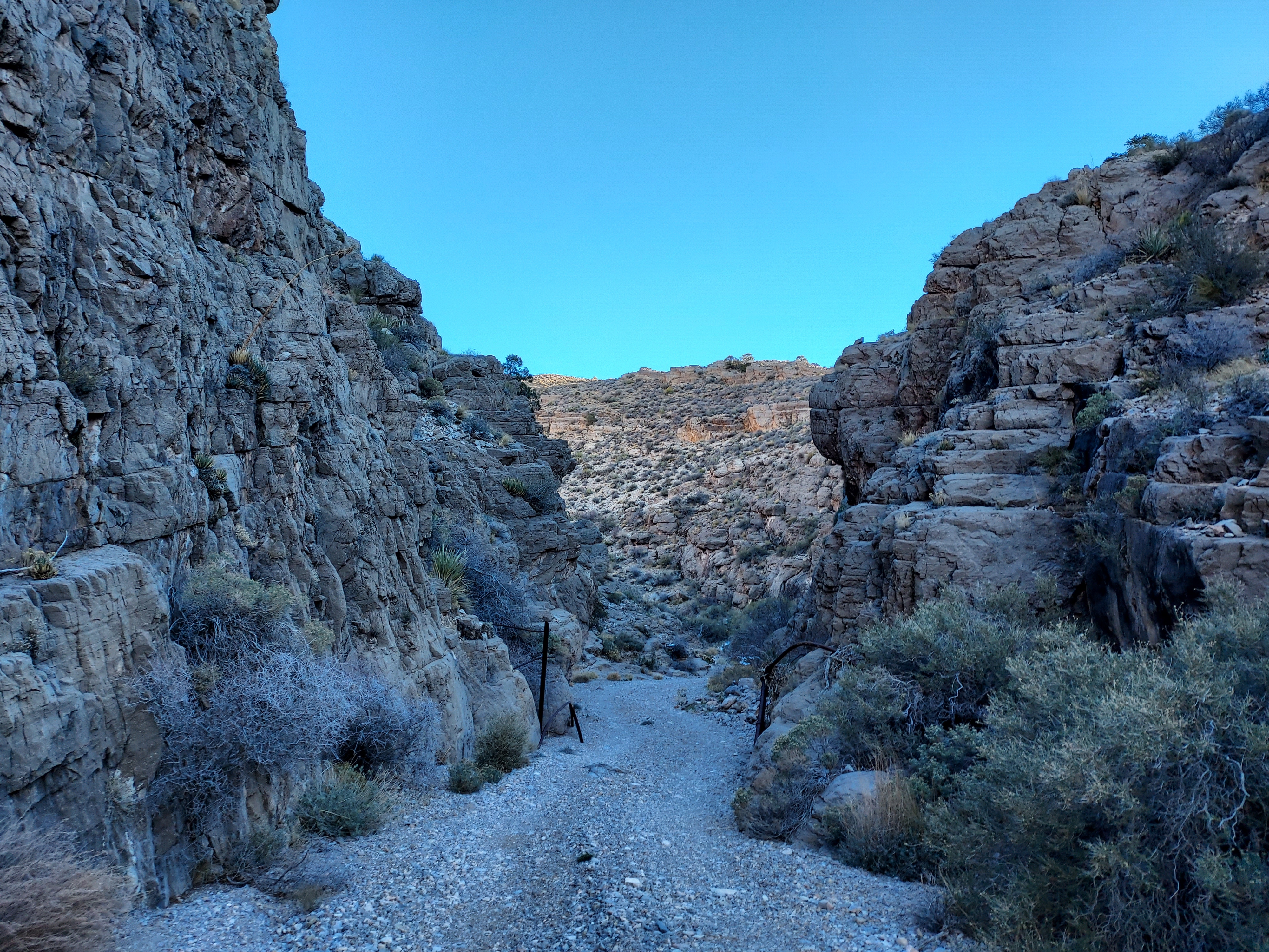
From where I parked on Whitney Pass Road (elevation ~3,800'), I began my hike up Black Rock Mountain Road. I encountered "the corral" at 0.8 miles then continued heading north. At about the 1 mile mark, I took an obvious right and followed the heavily deteriorated road into a sinuous canyon. I followed the road for 2.2 miles, gaining 800' before beginning my trek up the ridgeline. I doubt most vehicles could make it past the first few miles but an ATV could certainly shorten the distance.
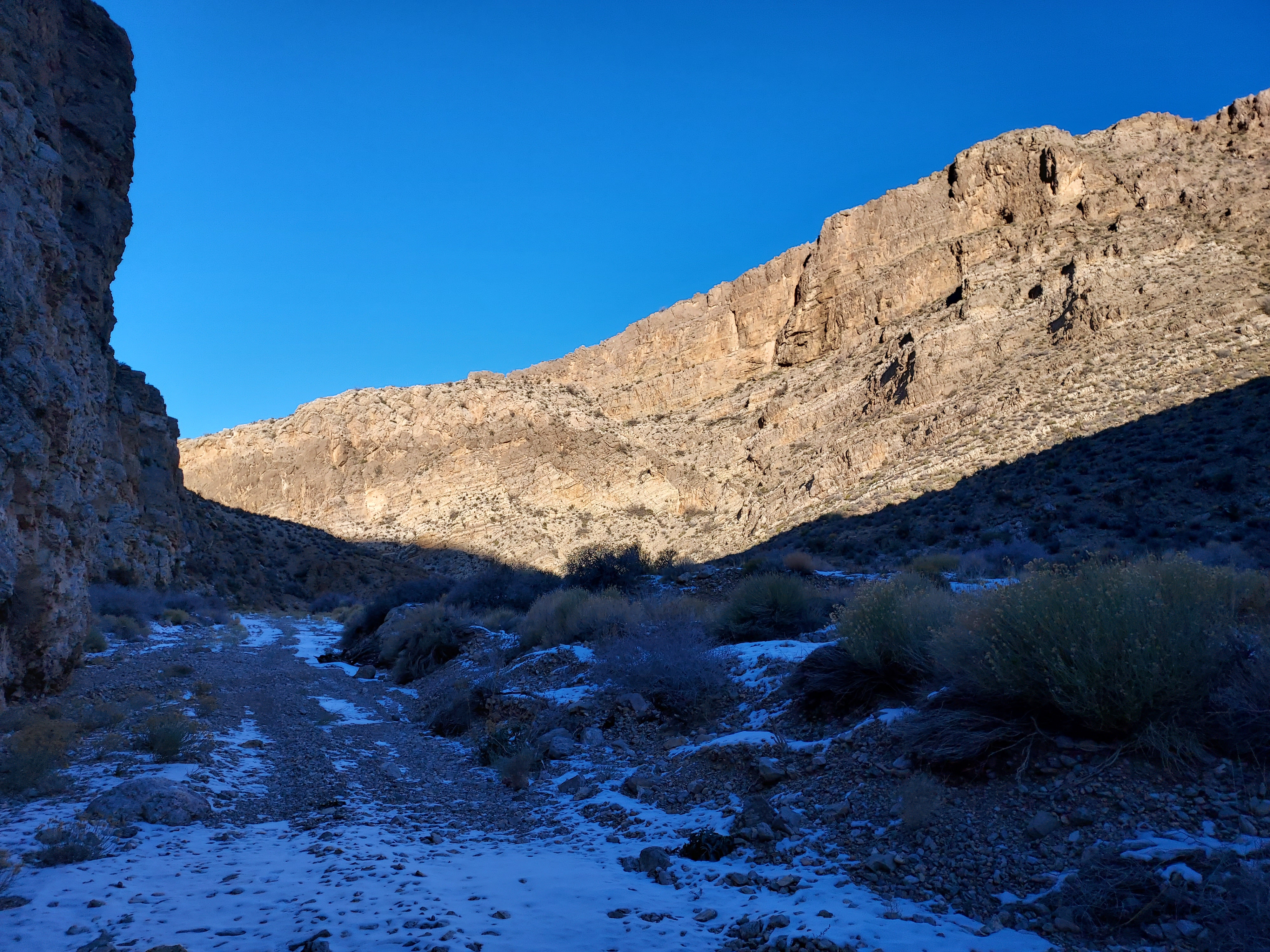
I had the benefit of a pre-loaded GPS route. Hence around 5,100' I knew to start climbing the ridgeline. It was brushy, thorny and rough in some sections. I would wear pants any time of year attempting this scramble. From the canyon to the ridgeline proper was about 0.7 miles and 700' of gain.
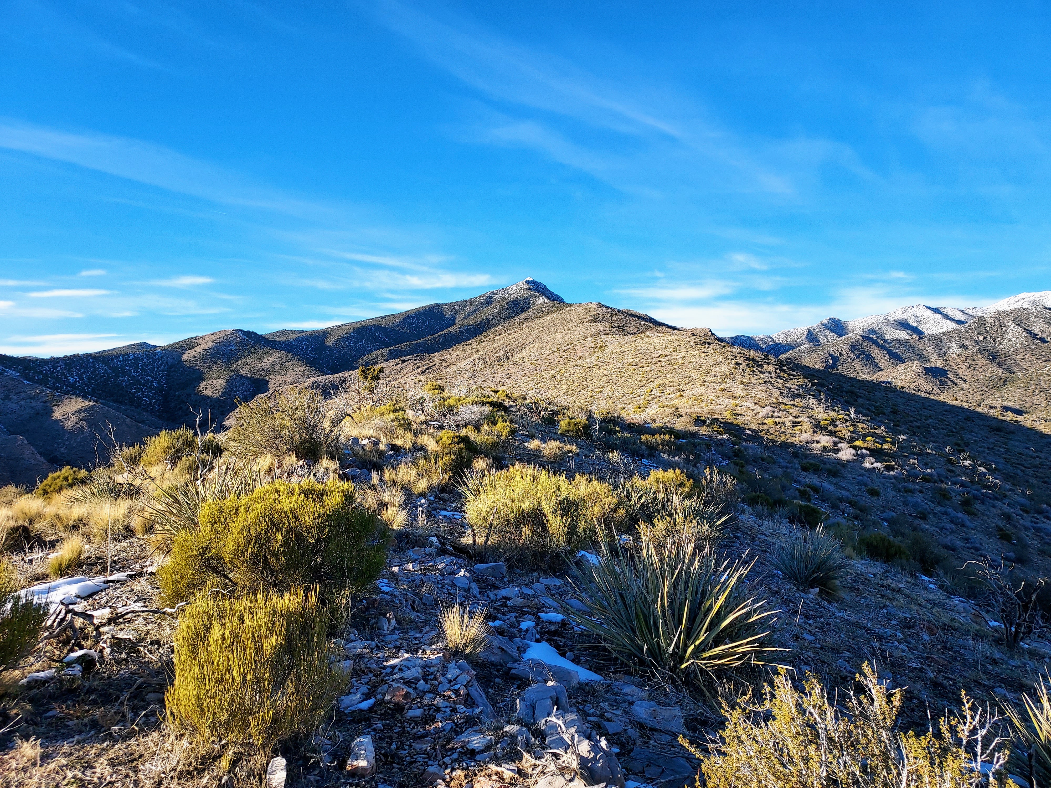
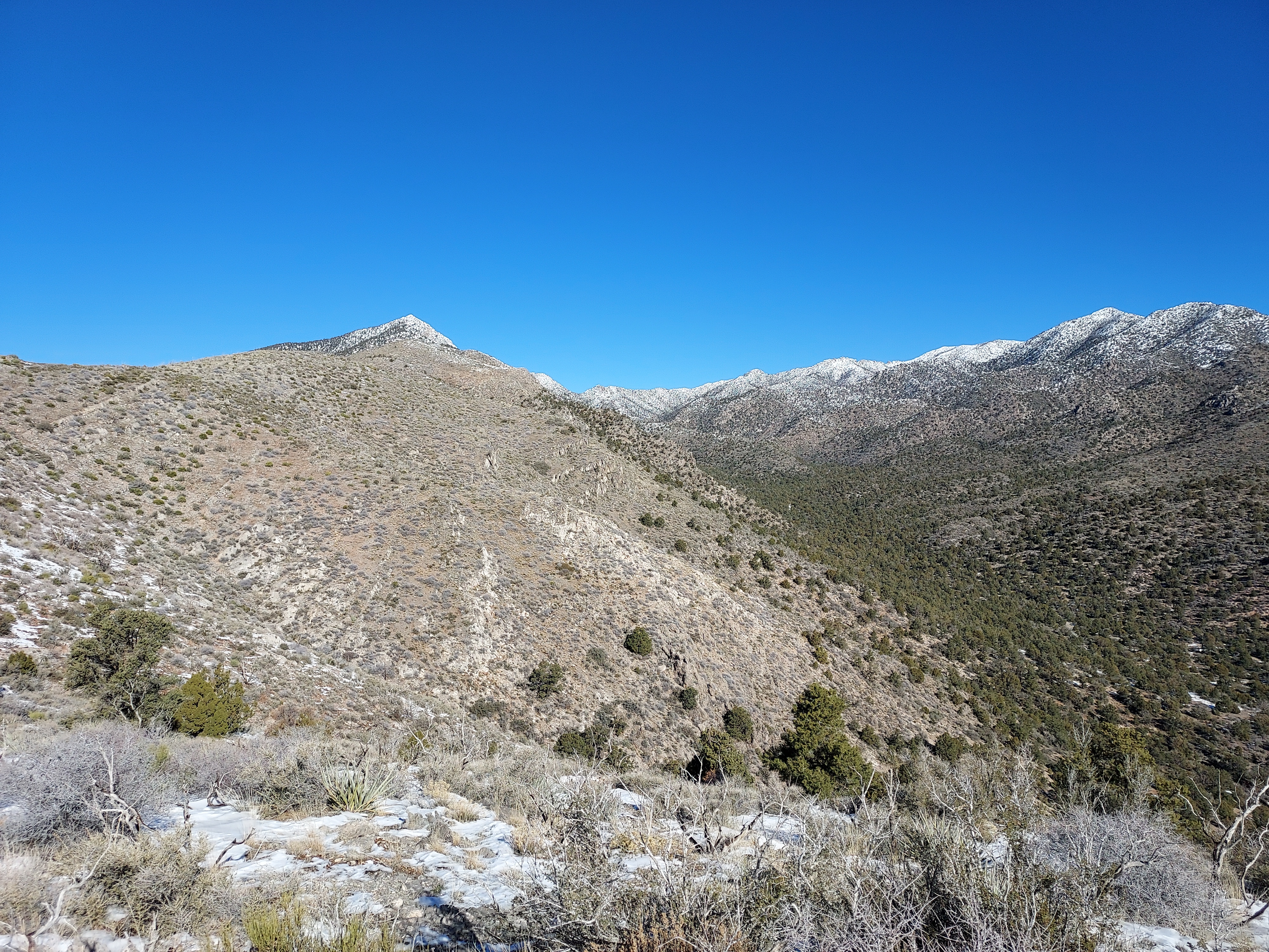
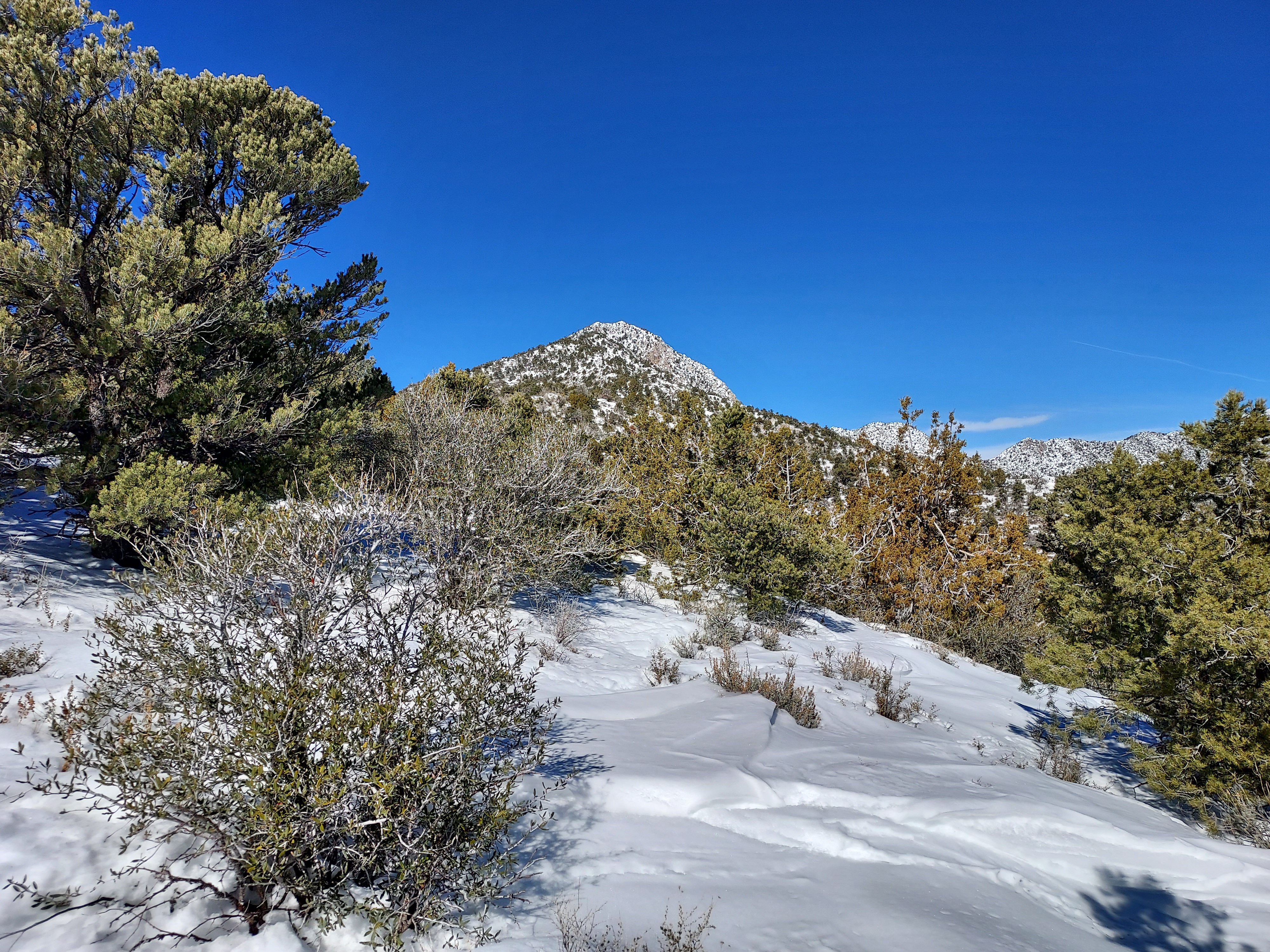
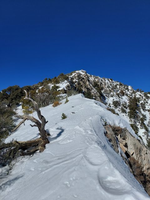
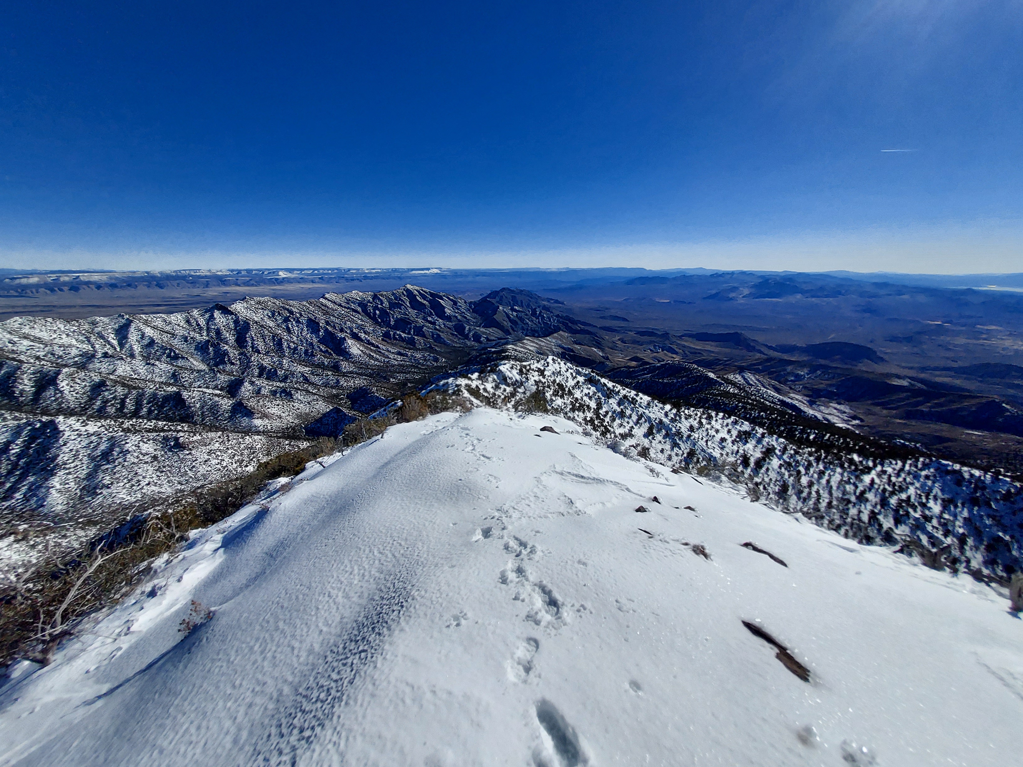
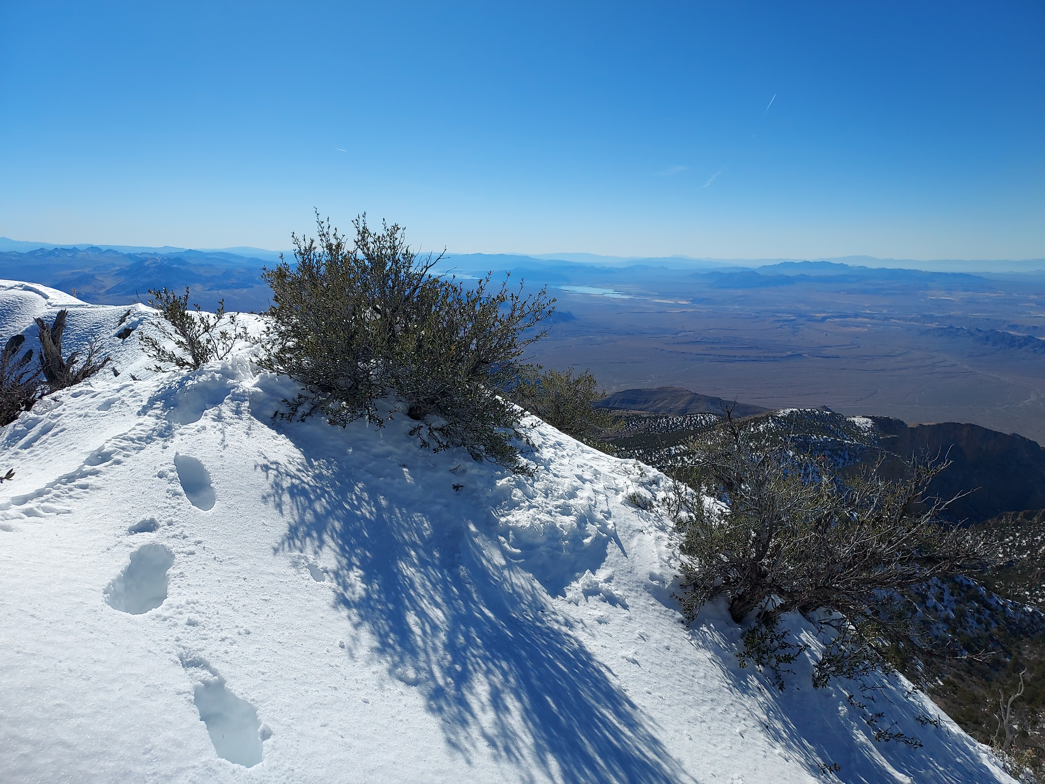
Once on the ridgeline, directions were very simple. I just headed uniformly north by northwest for 3.1 miles until I made the summit. I gained approximately 2,200' from ridgeline to summit. It was mostly open-country bushwhacking. In warmer months, its probably quite pleasant. With all the snow we've had this year, it felt more like a mountaineering route. Post-holing began around 6,500' which slowed my pace considerably. There's a crux-y section around 7,500 that was very tricky. I'm unsure if it was the "knife's edge" that others have referenced. But it was a complicated section, especially with all the snow.
Summit and Descent
The last 500' were painfully slow given the snow. I expect there's at least some snow at the higher elevations in most years. Microspikes were mostly sufficient for this section. The need for snowshoes that day was debatable. It would have helped with the post-holing but its such a heavy load to carry on an already long outing.
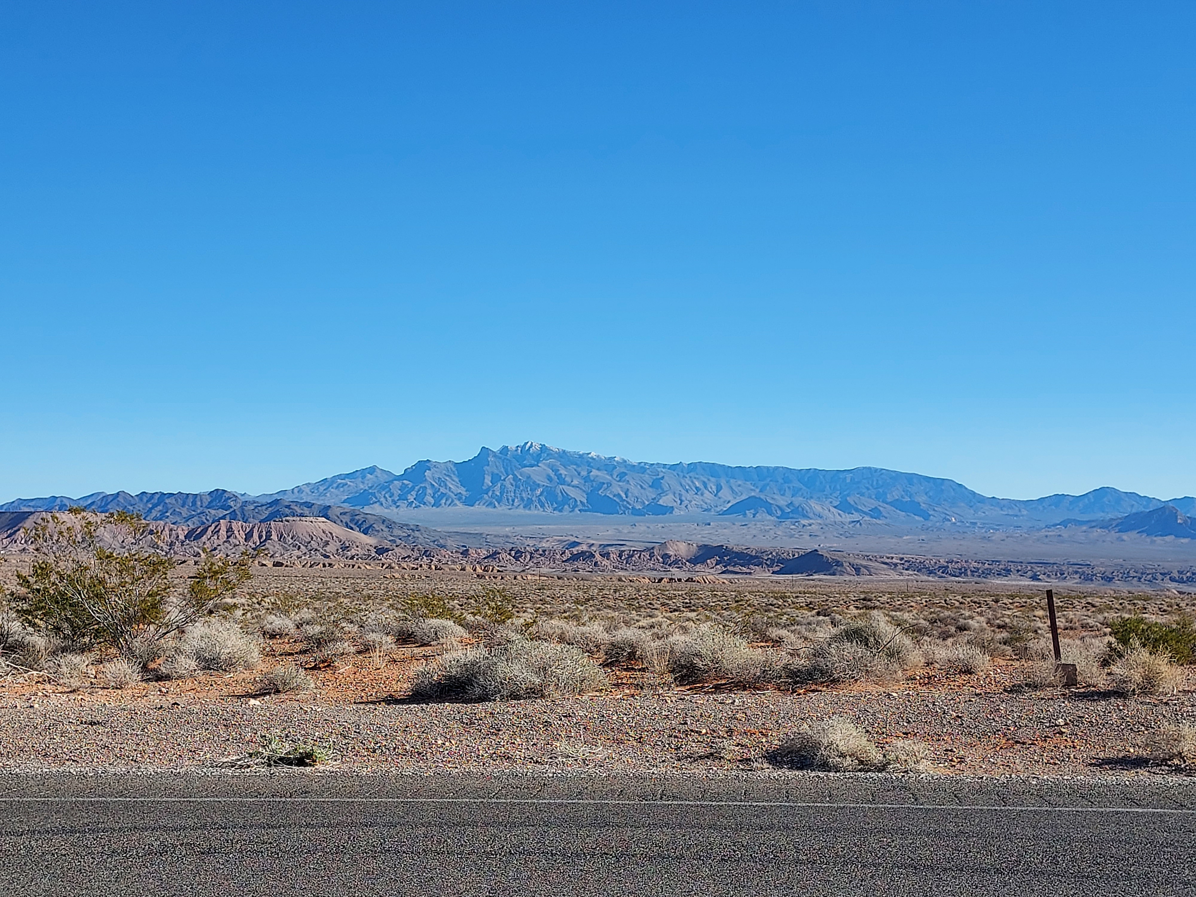
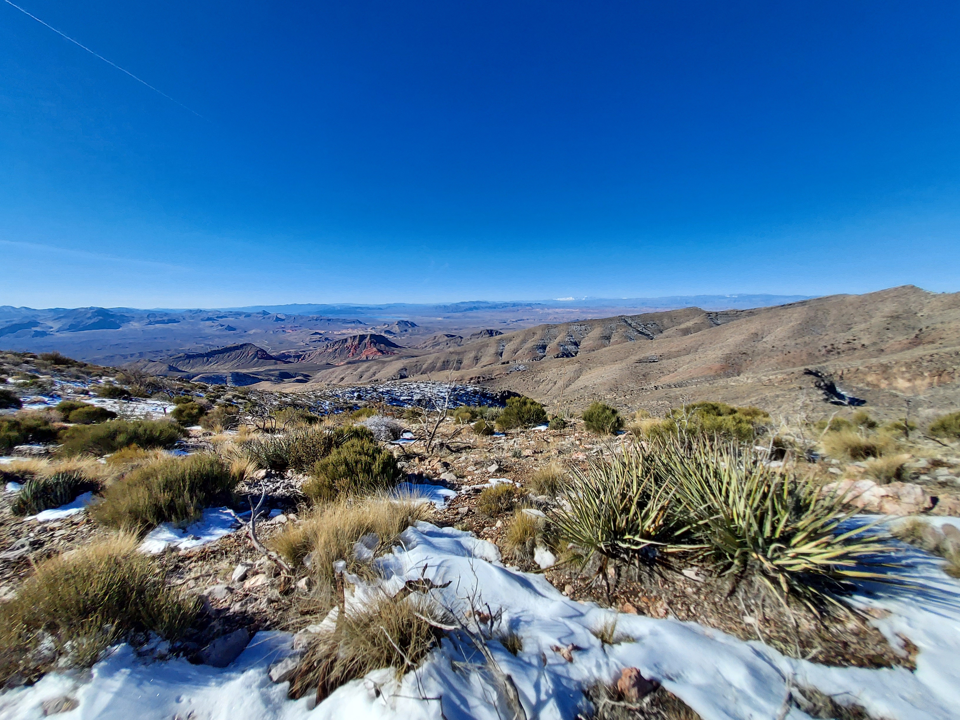
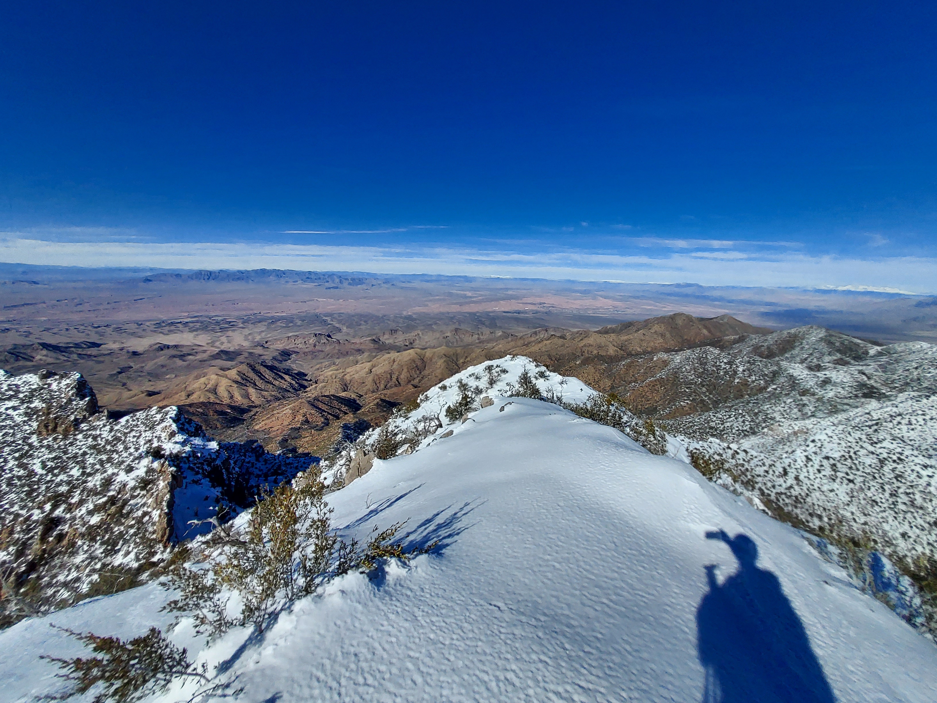
In the midafternoon I finally stood on the summit, 8,071' above sea level. If there was a summit register it was buried beneath a significant amount of snow. But the view was phenomenal. To the north were the snow-capped Mormon Mountains of Nevada and Pine Valley Mountains of Utah. The icy spring mountains loomed in the far distance. Multitudes of mesas and canyons of Grand Canyon-Parashant National Monument were visible to the southeast. Every landmark of Gold Butte National Monument could also be seen. It was gloriously clear.
Descent was not too compilated. Although certainly brushy and thorny in some sections, routefinding was very easy. I made it back to the car just as the sun was setting. From there I spent another night at Whitney Pocket.
This was a fantastic and very enjoyable hike. I'd definitely do it again.

No Comments