


After bagging Mt Wilson near Las Vegas, I drove to Kingman, Arizona for a climb of Hualapai Peak. This is a difficult summit and the Mojave County High Point. In the summer, I'm sure it's a nice respite from the desert heat. Winter is a whole different ballgame. I'm not sure how snowy the Hualapais get normally but 2023 dumped truckloads on this alpine mountains. Hence, this wasn't the usual hike/scramble, it was a snowshoe trip.
Hualapai Peak Overview and Directions
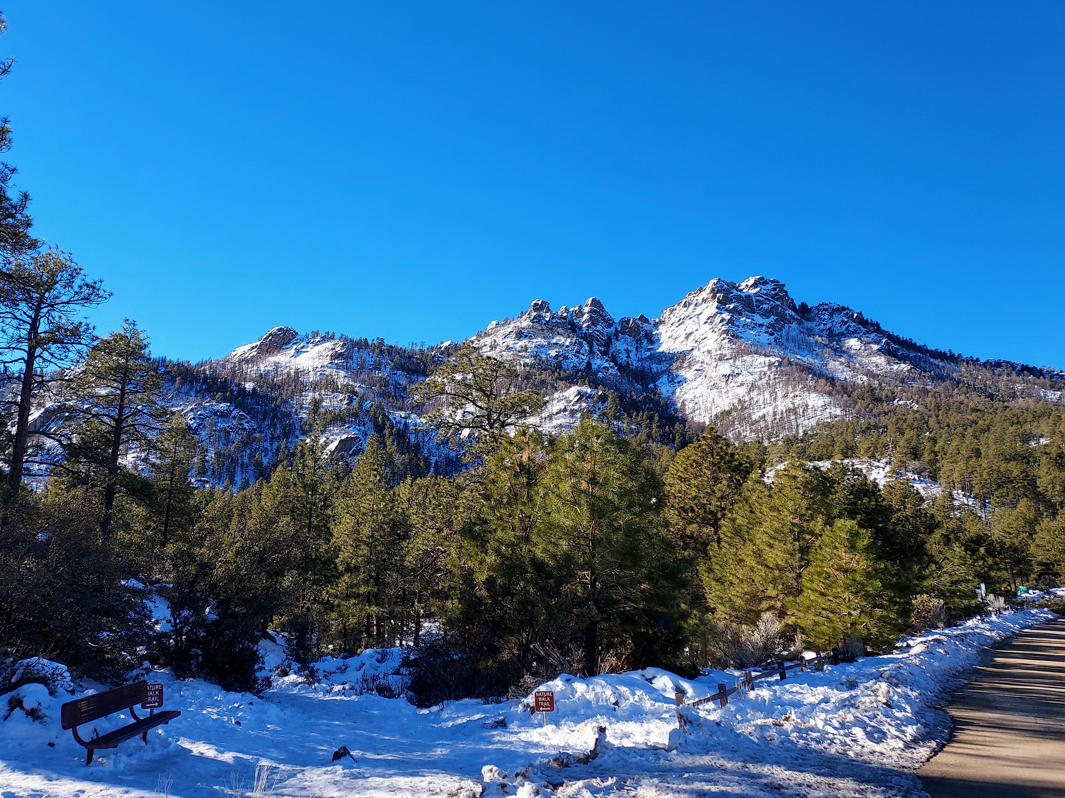
Hualapai Peak is 8,417' in elevation and the 9th most prominent summit in Arizona. Located just south of Kingman, the Hualapai Range is a sky island rising from the desert. It's a picturesque range, one that's taunted me on various I-40 road trips. Fortunately, getting there is very easy. From Andy Devine Road, Hualapai Mountain heads southeast out of town. Its a little over 11 miles to Hualapai Mountain Park which is the staging area. This county park has an extensive trail system and a plethora of lodging options. Its probably the nicest county park I've ever been to. Day use fees range from $5-10 depending on the time of year.
Here's the route I took-
Snowshoe to the Summit Block
I had to park nearly at the entrance due to snow on the road- this added another 0.9 miles and 300' of gain to the top. At the main trailhead, I took Forest Army Way Trail about 0.86 miles to the junction with Potato Patch Loop. Somebody had broken a trail on the West Loop so I took it. It was a steep and powdery mile to the Hayden Trails Junction. Some sections were difficult to follow in the deep powder- I'm glad I had a GPS.
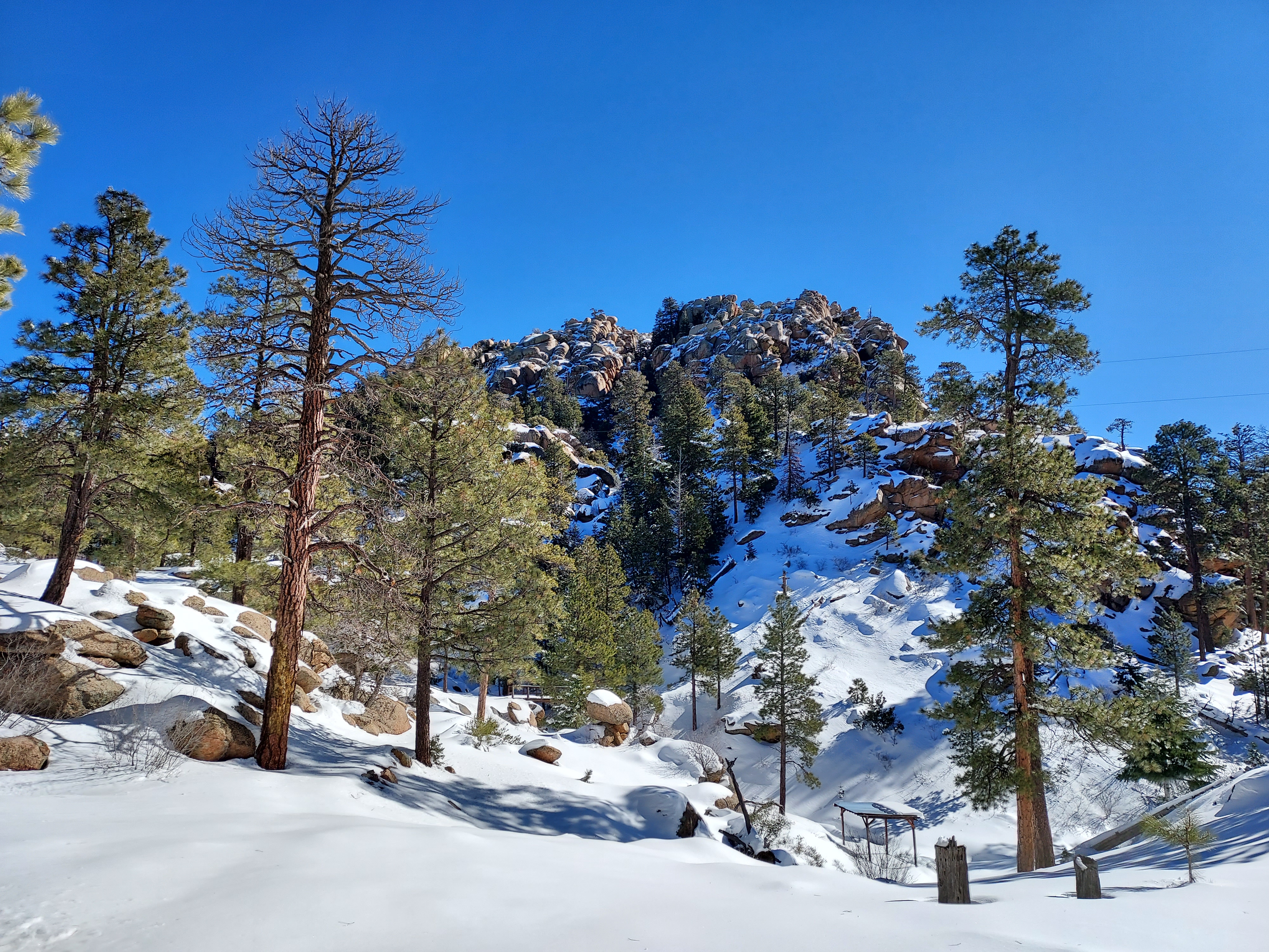
The trail tops out at about 7.500' at Hayden Trails Junction. There were at least 4-5 different trails heading in various directions from here. Again, having a pre-loaded GPS was helpful. Even with that I accidentally took the trail up Hayden Peak at first.
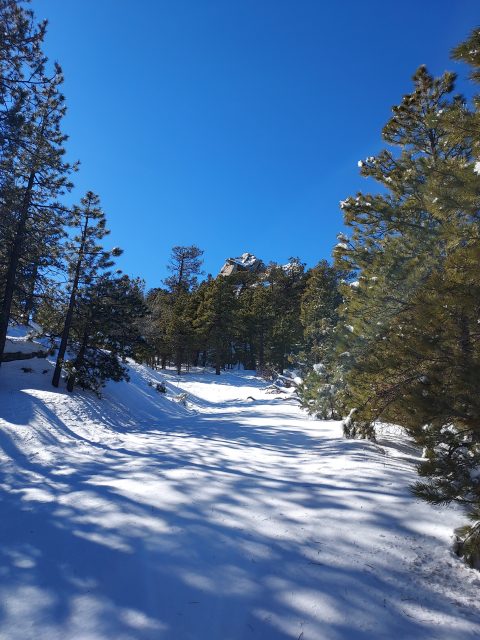
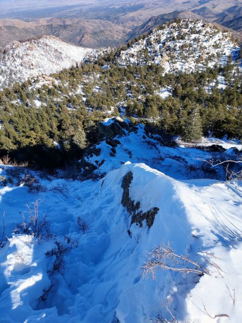
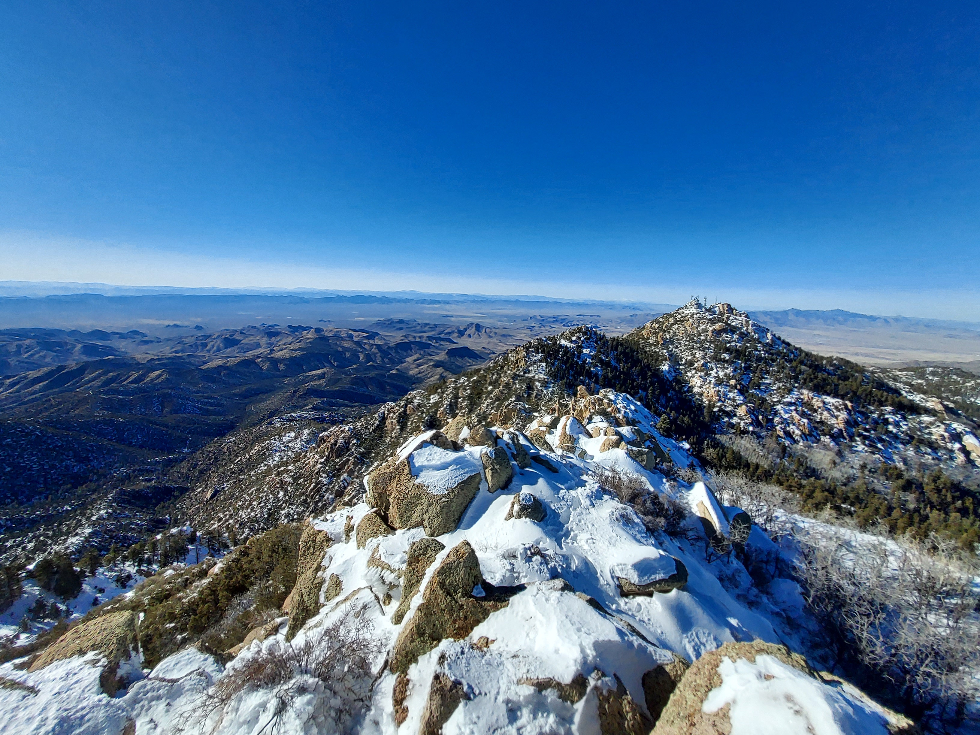
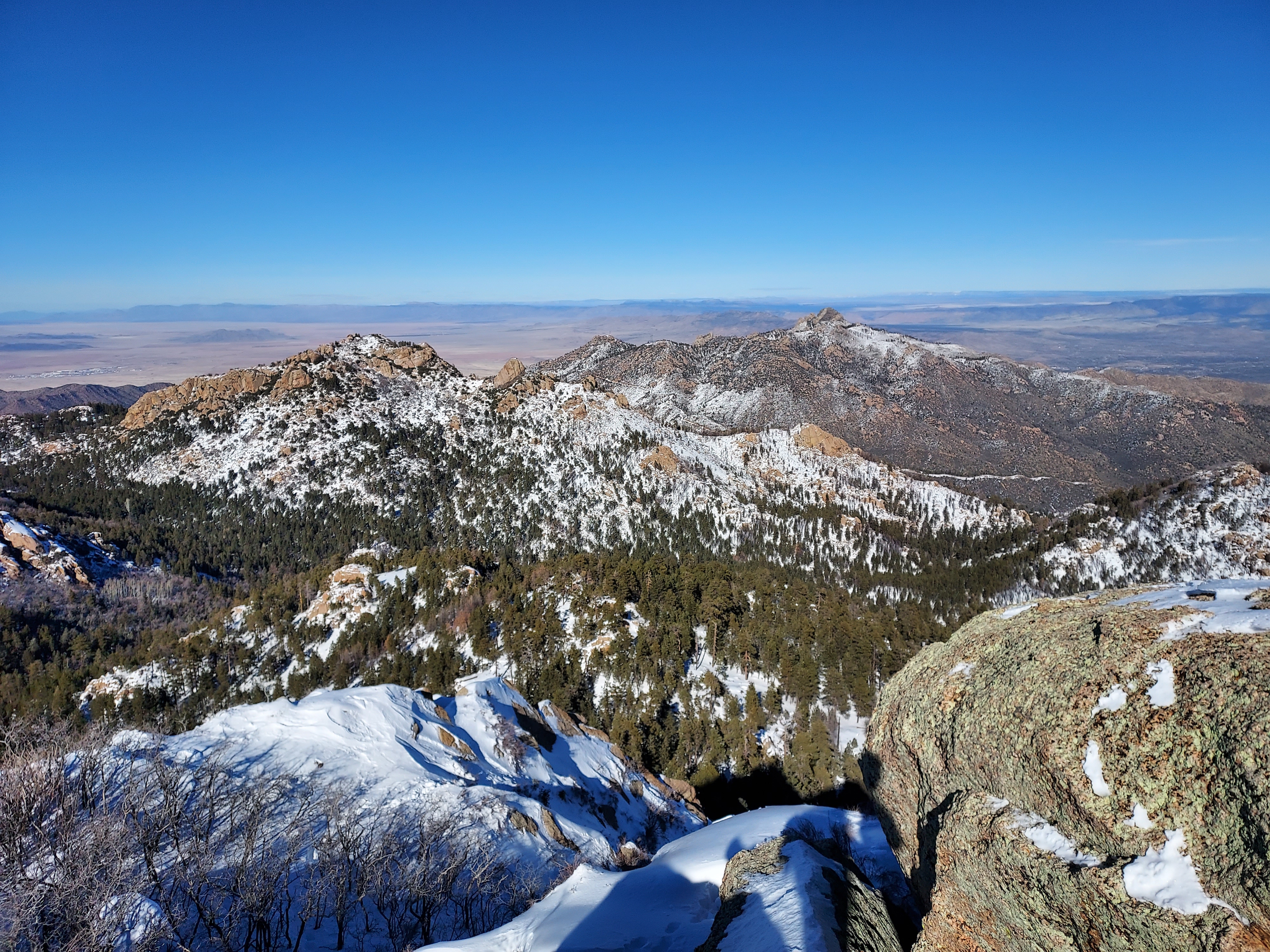
With a little backtracking, I found South Hayden Peak Drive and snowshoed another 1.44 miles to the Hualapai Peak Trail. The trail looses about 300' of altitude in this section. Finally Hualapai Peak came in to view and I slogged up 0.8 miles to the summit block. That section gains about 1,000' of altitude and is quite steep.
Hualapai Peak's Summit Block
The trail/road abruptly ends about 200' shy of Hualapai Peak. The final push is a bit tricky and involves scrambling. In the summer there's an obvious social trail that leads to the top. In the winter, this a steep though basic snow climb. Foolishly, I'd left my ice axe in the car. I recommend bringing one for winter travel. Very slowly, I made my way up the final 200' which was pretty nasty in my opinion-
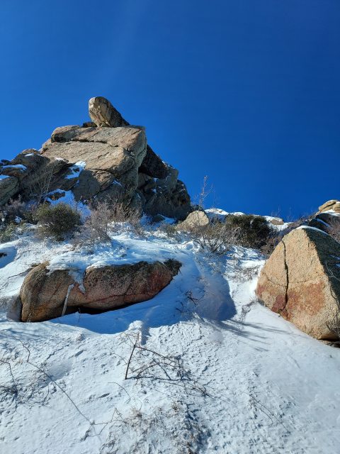
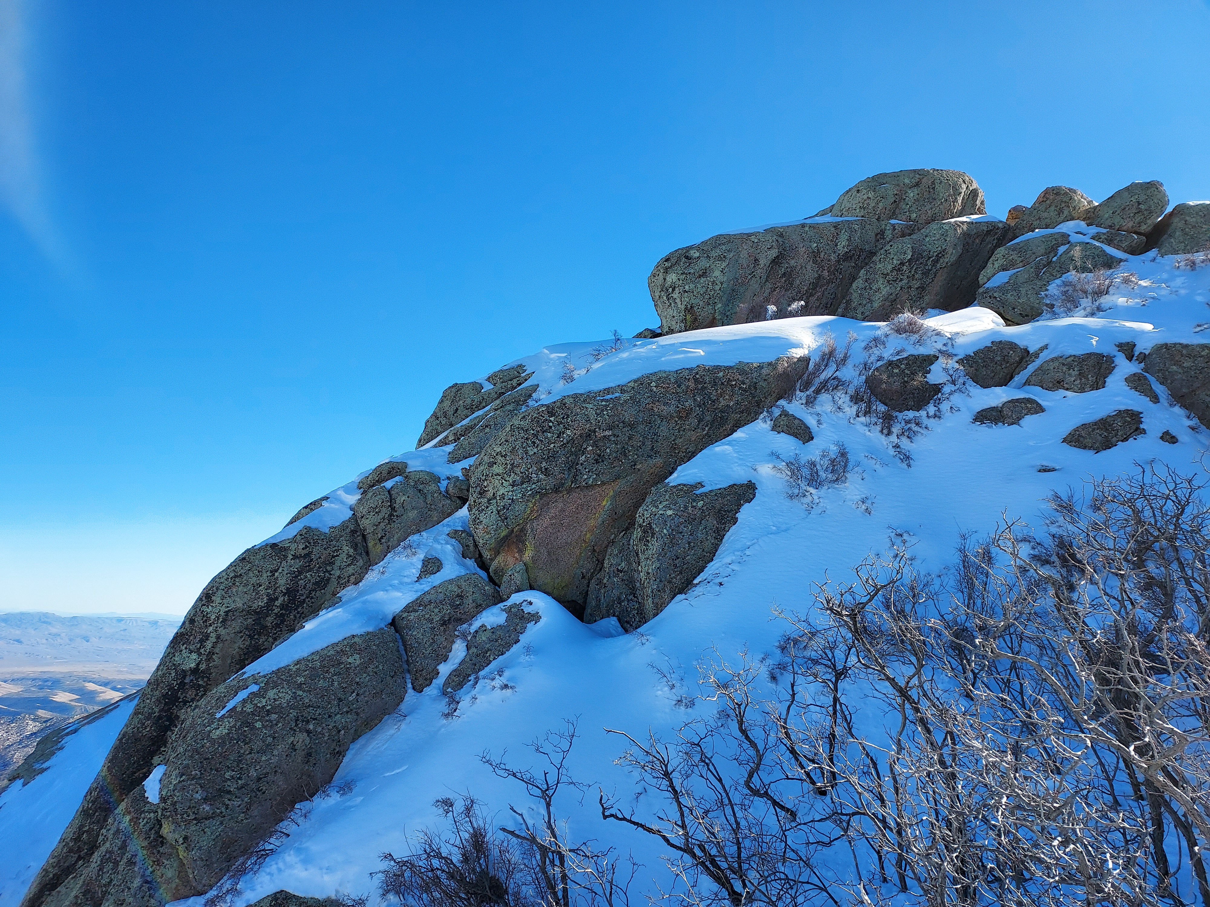
The final piece involves an exposed class 3 move to gain the top. I don't have fondness for such things but other climbers think its a fun move. Courtney Purcell described it as "funky" in his famous book "Rambles and Scrambles".
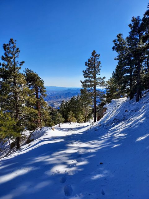
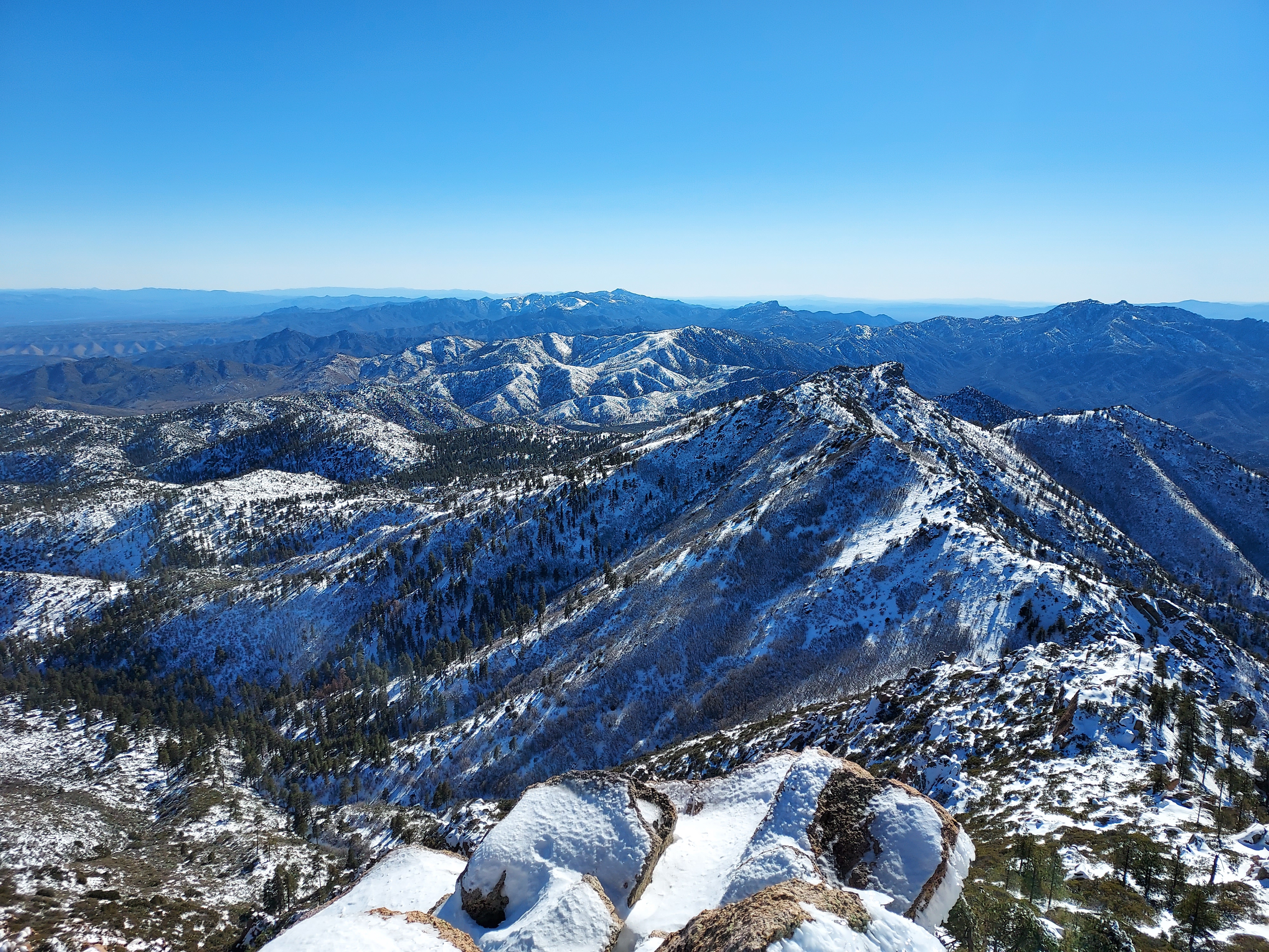
Views were very nice but with the temperature hovering in the 10's I didn't stay long. I got buzzed by a couple of fighter jets while I was up there.
As usual on a snowshoe trip, the descent took almost the same time as the climb. Frigid temperatures precluded me from camping up there so I spent the night in Kingman. The next day I headed back to Las Vegas for some more Nevada peakbagging.

No Comments